Glen Gunisdale

Valley in Inverness-shire

Scotland

Glen Gunisdale

Shoreline on Loch A Siar Looking northwest
Shoreline on Loch A Siar Credit: Dave Fergusson

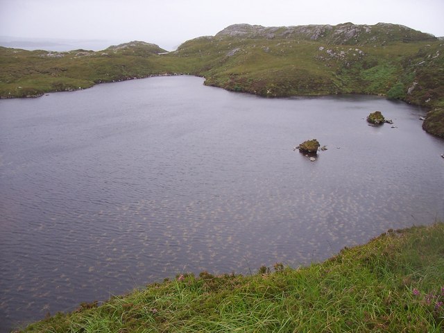
Glen Gunisdale is a picturesque valley located in Inverness-shire, a historic county in the Scottish Highlands. Nestled amidst the stunning natural beauty of the region, the valley is renowned for its breathtaking landscapes and tranquil atmosphere.

Situated near the village of Tomatin, Glen Gunisdale stretches for several miles and is flanked by rolling hills covered in heather and scattered with dense forests. The valley is traversed by a meandering river, which adds to its charm and provides a habitat for various species of wildlife.

The area is popular among nature enthusiasts and outdoor adventurers due to its extensive network of walking trails, offering opportunities for hiking, cycling, and birdwatching. One of the most popular routes is the Glen Gunisdale Circular Walk, which takes visitors on a scenic journey through the valley and showcases its diverse flora and fauna.

Glen Gunisdale also boasts a rich history and cultural heritage. Ruins of ancient settlements and standing stones can be found scattered throughout the valley, serving as reminders of the area's past. These archaeological sites attract history enthusiasts and archaeologists keen to explore the valley's past.

While Glen Gunisdale is primarily known for its natural beauty, there are limited amenities available in the immediate vicinity. Visitors can find basic facilities in the nearby village of Tomatin, including accommodation options, a few shops, and eateries. For a wider range of amenities, the city of Inverness is approximately 16 miles away, where visitors can enjoy a variety of attractions, shopping, and dining options.

In conclusion, Glen Gunisdale is a captivating valley in Inverness-shire that offers visitors an escape into the tranquility of the Scottish Highlands. Its stunning landscapes, rich history, and abundance of outdoor activities make it a must-visit destination for nature lovers and those seeking a peaceful retreat.

If you have any feedback on the listing, please let us know in the comments section below.

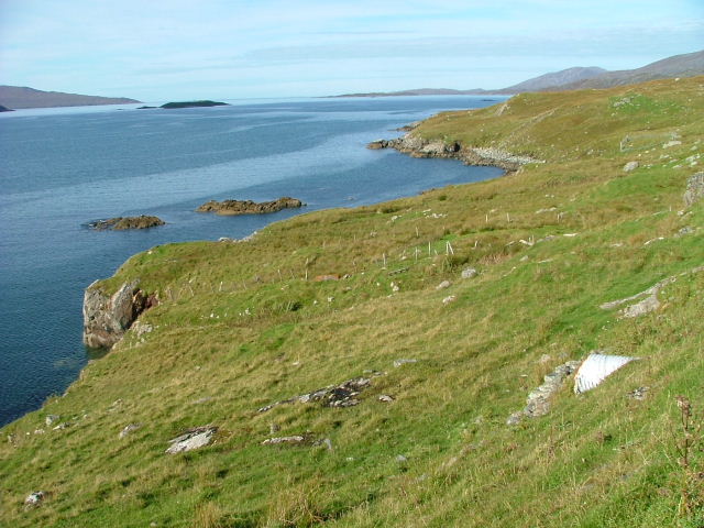
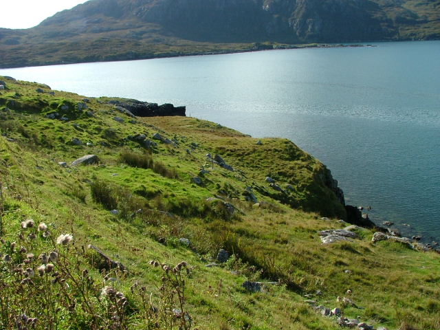
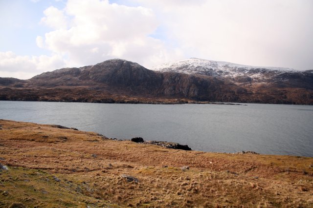
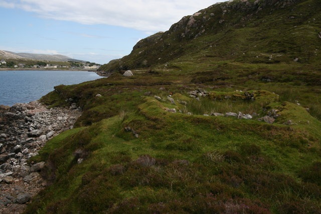
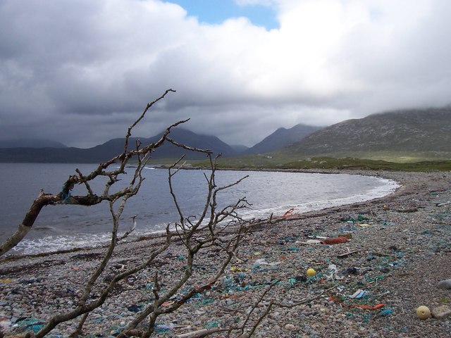
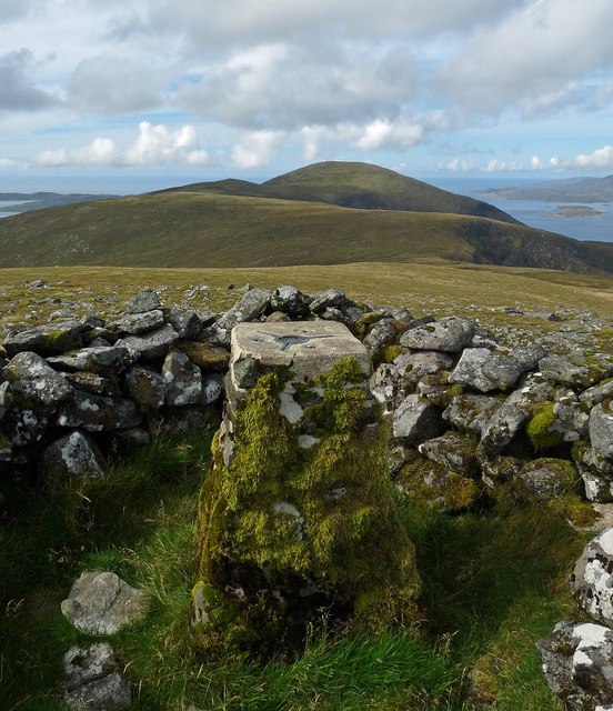
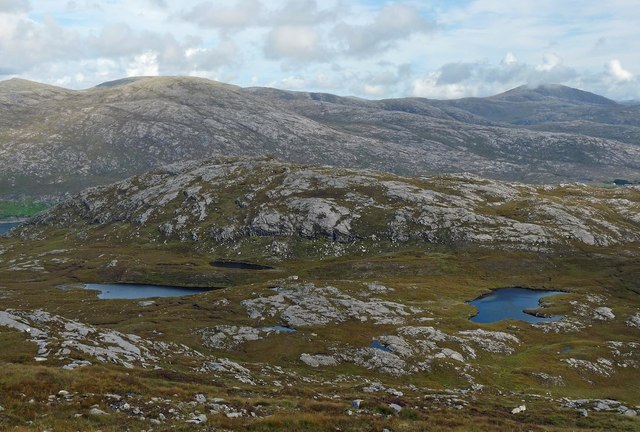
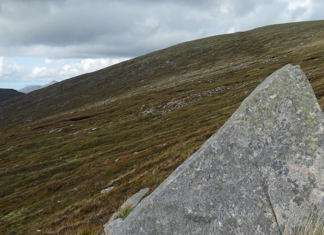
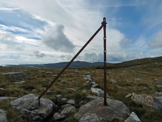
Glen Gunisdale Images

Images are sourced within 2km of 57.896814/-6.8607023 or Grid Reference NB1200. Thanks to Geograph Open Source API. All images are credited.

Shoreline on Loch A Siar Looking northwest
Shoreline on Loch A Siar
Looking northwest
Shoreline on Loch A Siar Looking south.
Shoreline on Loch A Siar
Looking south.
Steicleit with the cliffs of Uamascleit behind Apparently quite a thriving community lived there once and even in recent years, Steicleit was the place where the folk from Tarbert went to cut their peats.
Steicleit with the cliffs of Uamascleit behind
Apparently quite a thriving community lived there once and even in recent years, Steicleit was the place where the folk from Tarbert went to cut their peats.
Remains of blackhouse The old drystone walls of a blackhouse can be seen on the south shore of West Loch Tarbert. The village of Tarbert can be seen in the background.
Remains of blackhouse
The old drystone walls of a blackhouse can be seen on the south shore of West Loch Tarbert. The village of Tarbert can be seen in the background.
Looking north across Bagh Stithcliet, Harris Looking across to Lewis at Bagh Stitchcliet with various amounts of washed up debris on the beach.
Looking north across Bagh Stithcliet, Harris
Looking across to Lewis at Bagh Stitchcliet with various amounts of washed up debris on the beach.
Overlooking the bay below Geodha Beag View west over the bay and salmon farms with Bagh Stithcliet and Tarbert further in the distance
Overlooking the bay below Geodha Beag
View west over the bay and salmon farms with Bagh Stithcliet and Tarbert further in the distance
View towards Sron Gunasdail View south west towards Sron Gunasdail showing the steep crags and ravines
View towards Sron Gunasdail
View south west towards Sron Gunasdail showing the steep crags and ravines
Loch a Siar
Loch a Siar
Paddling back from Iosaigh Looking back towards the west after paddling around the small island of Iosaigh
Paddling back from Iosaigh
Looking back towards the west after paddling around the small island of Iosaigh
Sìdhean Beesdale The northeasterly spur of Ben Luskentyre.  Behind is West Loch Tarbet, and An Cliseam (disappearing into the cloud).
Sìdhean Beesdale
The northeasterly spur of Ben Luskentyre. Behind is West Loch Tarbet, and An Cliseam (disappearing into the cloud).
Steep cliffs near Gèodha Mòr This obstacle ended my attempt to walk around the coast to Luskentyre.
Steep cliffs near Gèodha Mòr
This obstacle ended my attempt to walk around the coast to Luskentyre.
Salmon cages in West Loch Tarbet
Triangulation pillar, Ceann Reamhar, Harris Looking towards Beinn Dhubh.

The western boundary of the grid square runs through the next bealach.
Triangulation pillar, Ceann Reamhar, Harris
Looking towards Beinn Dhubh. The western boundary of the grid square runs through the next bealach.
Bràigh an Locha, Harris The lochs and ridge behind, Uamascleit, lie within the grid square.

The high point on the horizon, behind a cloud, is Tòdun.
Bràigh an Locha, Harris
The lochs and ridge behind, Uamascleit, lie within the grid square. The high point on the horizon, behind a cloud, is Tòdun.
Rock on the western slopes of Ceann Reamhar, Harris
Old fence posts on the eastern slopes of Beinn nan Leac, Harris The fence posts can be seen following the line of an older stone dyke.
Old fence posts on the eastern slopes of Beinn nan Leac, Harris
The fence posts can be seen following the line of an older stone dyke.
Loch nan Caor, near Langracleit Looking South west over Loch nan Caor before mist and rain obscured the view
Loch nan Caor, near Langracleit
Looking South west over Loch nan Caor before mist and rain obscured the view
Ridge east of Beinn Losgaintir In this square a grassy ridge slopes gently east from Beinn Losgaintir.
Ridge east of Beinn Losgaintir
In this square a grassy ridge slopes gently east from Beinn Losgaintir.
Show me another place!

Glen Gunisdale is located at Grid Ref: NB1200 (Lat: 57.896814, Lng: -6.8607023)

Unitary Authority: Na h-Eileanan an Iar

Police Authority: Highlands and Islands

What 3 Words

///pools.mango.remix. Near Tarbert, Na h-Eileanan Siar

Related Wikis

Harris, Outer Hebrides

Harris (Scottish Gaelic: Na Hearadh, pronounced [nə ˈhɛɾəɣ] ) is the southern and more mountainous part of Lewis and Harris, the largest island in the...

Ardhasaig

Ardhasaig (Scottish Gaelic: Àird Àsaig) is a settlement on the western coast of north Harris, in the Outer Hebrides, Scotland. Ardhasaig is also within...

Tarbert, Harris

Tarbert (Scottish Gaelic: An Tairbeart [ən̪ˠ ˈt̪ɛrʲɛbərˠʃt̪]) is the main community on Harris in the Western Isles of Scotland. The name means "isthmus...

Harris distillery

Harris distillery is a Scotch whisky and Gin distillery in Tarbert on the Isle of Harris, Scotland. The distillery was the first legal distillery ever...

Have you been to Glen Gunisdale?

Leave your review of Glen Gunisdale below (or comments, questions and feedback).