An Gleannain

Valley in Inverness-shire

Scotland

An Gleannain

Mouth of Loch Eynort East coast of South Uist.
Mouth of Loch Eynort Credit: Hugh Venables

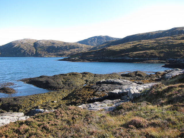
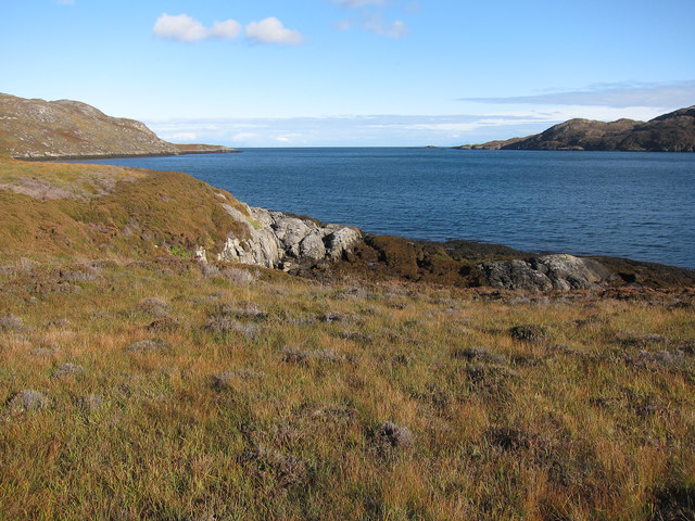
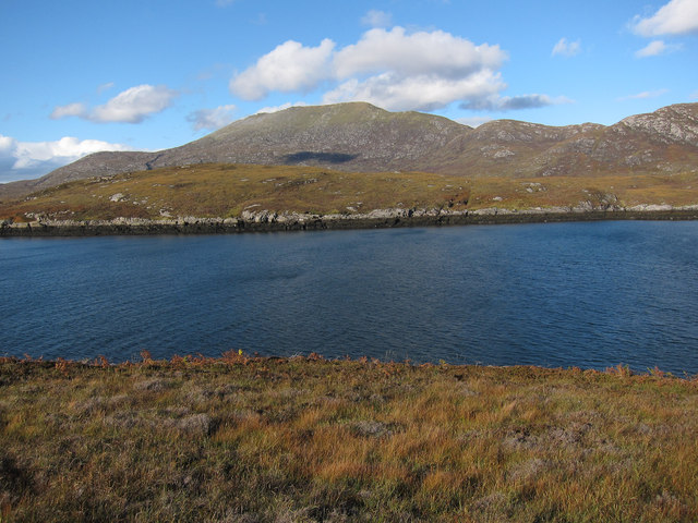
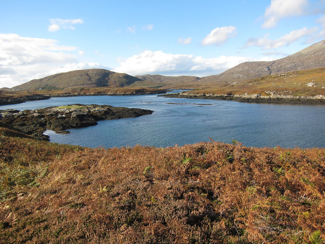
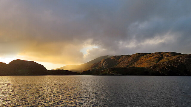
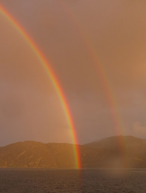
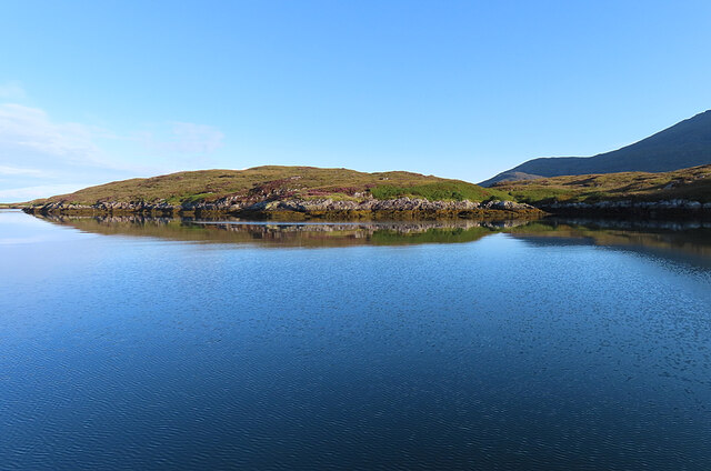
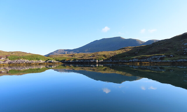
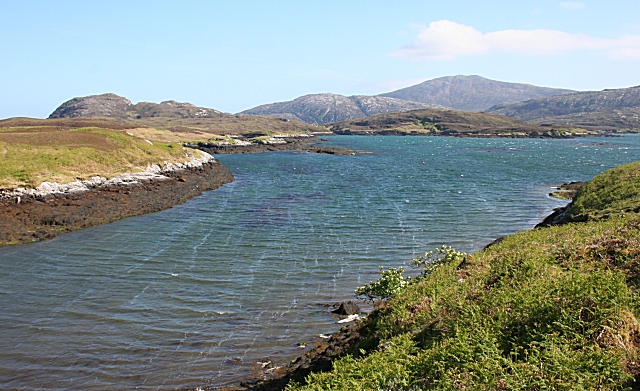
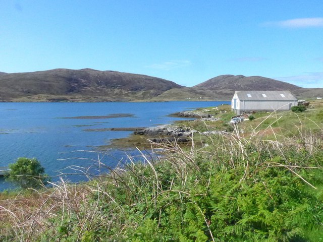
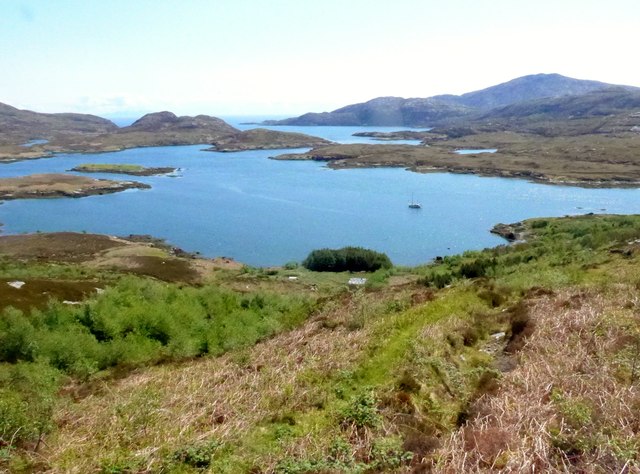
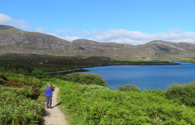
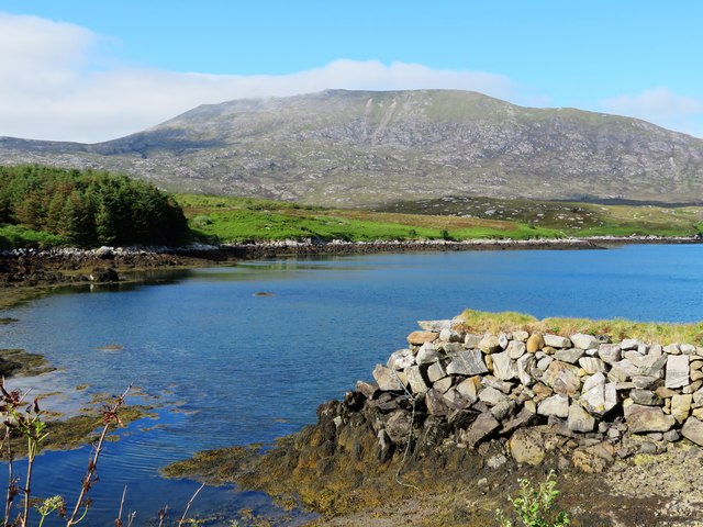
An Gleannain is a picturesque valley located in the Scottish Highlands in Inverness-shire. The valley is surrounded by stunning mountain ranges, lush green forests, and crystal-clear streams, making it a popular destination for nature lovers and outdoor enthusiasts.

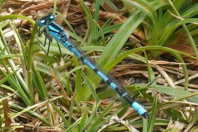
The valley is home to a variety of wildlife, including red deer, otters, and a wide range of bird species, making it a haven for wildlife enthusiasts and photographers. The landscape is dotted with charming villages and historic sites, adding to the rich cultural heritage of the area.

Visitors to An Gleannain can enjoy a range of outdoor activities, such as hiking, mountain biking, fishing, and birdwatching. The valley is also a popular spot for camping and picnicking, allowing visitors to immerse themselves in the natural beauty of the area.

Overall, An Gleannain is a tranquil and picturesque valley that offers a peaceful retreat from the hustle and bustle of everyday life. Whether you're looking to explore the great outdoors or simply relax and unwind in a stunning natural setting, An Gleannain has something to offer for everyone.

If you have any feedback on the listing, please let us know in the comments section below.
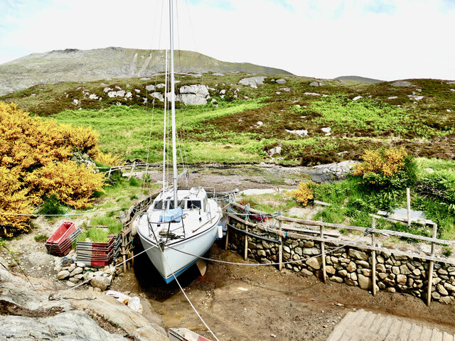
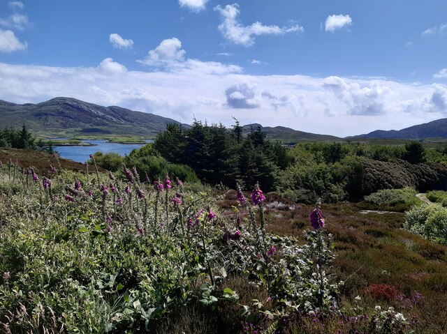
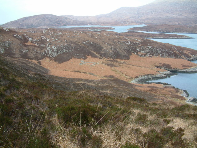
An Gleannain Images

Images are sourced within 2km of 57.220114/-7.324603 or Grid Reference NF7826. Thanks to Geograph Open Source API. All images are credited.

Mouth of Loch Eynort East coast of South Uist.
Mouth of Loch Eynort
East coast of South Uist.
Rubha Laileum Near the mouth of Loch Aineort.
Rubha Laileum
Near the mouth of Loch Aineort.
Rubha nan Sruthan Looking over Sruthan Beag.
Rubha nan Sruthan
Looking over Sruthan Beag.
Loch Eynort Narrow stretch near the eastern end.
Loch Eynort
Narrow stretch near the eastern end.
Evening Sunshine After some gloomy weather, the setting sun broke through the clouds for a short fine spell.
Evening Sunshine
After some gloomy weather, the setting sun broke through the clouds for a short fine spell.
Double Rainbow Fuelled by a very heavy shower, this is one of the most magnificent rainbows I've ever seen.
Double Rainbow
Fuelled by a very heavy shower, this is one of the most magnificent rainbows I've ever seen.
Rubha nan Sruthan The peninsula on the north side of the narrowest part of Loch Aineort.
Rubha nan Sruthan
The peninsula on the north side of the narrowest part of Loch Aineort.
Loch Aineort An inlet east of Rubha nan Sruthan. The hill in the background is Beinn Mhòr.
Loch Aineort
An inlet east of Rubha nan Sruthan. The hill in the background is Beinn Mhòr.
Loch Aineort's hidden harbour This tiny harbour on Loch Aineort, South Uist, is not much wider than a single car garage. Maybe this is why it escaped the OS cartographers! I haven't been able to find it on any map including all the scales available on MAGIC.  It does, however, show up clearly on Google Earth.
Loch Aineort's hidden harbour
This tiny harbour on Loch Aineort, South Uist, is not much wider than a single car garage. Maybe this is why it escaped the OS cartographers! I haven't been able to find it on any map including all the scales available on MAGIC. It does, however, show up clearly on Google Earth.
Small woodland above Loch Aineort
Damsel fly
Damsel fly
Old shieling
Old shieling
Loch Aineort The surface of the water reveals that a strong southerly wind is blowing. The land at left is Eilean an Easbuig, and ahead is Rubha nan Struthan, the point of the peninsula which separates Sloc Dubh from the open sea in that direction. The hill is Stulabhal.
Loch Aineort
The surface of the water reveals that a strong southerly wind is blowing. The land at left is Eilean an Easbuig, and ahead is Rubha nan Struthan, the point of the peninsula which separates Sloc Dubh from the open sea in that direction. The hill is Stulabhal.
Loch Aineort
Loch Aineort
Loch Aineort And a nice ketch safely anchored in this well sheltered spot.
Loch Aineort
And a nice ketch safely anchored in this well sheltered spot.
Loch Aineort in all its complexity Out there is the sea (The Sea of the Hebrides).  Loch Aineort makes an excellent and well sheltered anchorage for yachts.
Loch Aineort in all its complexity
Out there is the sea (The Sea of the Hebrides). Loch Aineort makes an excellent and well sheltered anchorage for yachts.
The path to Bagh Lathach The owner of this croft has done a superb job in constructing a series of good paths, picnic and rest areas etc, and has also planted a wide variety of native and exotic plants. This is the main path that leads from the road end towards Bagh Lathach.
The path to Bagh Lathach
The owner of this croft has done a superb job in constructing a series of good paths, picnic and rest areas etc, and has also planted a wide variety of native and exotic plants. This is the main path that leads from the road end towards Bagh Lathach.
View towards Beinn Mhor Taken from the tiny 'harbour' in a corner of Loch Aineort with the southern flanks of Beinn Mhor rising steeply in the background. This was an unusual afternoon for weather conditions, for while much of the island was rather grey and misty, the mountains broke up the cloud and made Loch Aineort a sun trap.
View towards Beinn Mhor
Taken from the tiny 'harbour' in a corner of Loch Aineort with the southern flanks of Beinn Mhor rising steeply in the background. This was an unusual afternoon for weather conditions, for while much of the island was rather grey and misty, the mountains broke up the cloud and made Loch Aineort a sun trap.
Show me another place!

An Gleannain is located at Grid Ref: NF7826 (Lat: 57.220114, Lng: -7.324603)

Unitary Authority: Na h-Eileanan an Iar

Police Authority: Highlands and Islands

What 3 Words

///pocket.sketches.mows. Near Lochboisdale, Na h-Eileanan Siar

Nearby Locations

An Gleannain

Related Wikis

Beinn Mhòr (South Uist)

Beinn Mhòr is a mountain on the island of South Uist in the Outer Hebrides of Scotland. With a height of 620 metres (2,034 ft), it is the highest point...

Milton (South Uist)

Milton (Scottish Gaelic: Geàrraidh Bhailteas) is the name of a tack or tenant farm on the island of South Uist in the Outer Hebrides, Scotland. It was...

South Uist

South Uist (Scottish Gaelic: Uibhist a Deas, [ˈɯ.ɪʃtʲ ə ˈtʲes̪] ; Scots: Sooth Uist) is the second-largest island of the Outer Hebrides in Scotland. At...

Askernish

Askernish (Scottish Gaelic: Àisgearnais, Aisgernis) is a crofting community on South Uist, in the Outer Hebrides, Scotland. Askernish is in the parish...

Have you been to An Gleannain?

Leave your review of An Gleannain below (or comments, questions and feedback).