Barn Hill
Hill, Mountain in Lancashire Pendle
England
Barn Hill
Barn Hill is a prominent hill located in the county of Lancashire, England. It stands at an elevation of 174 meters (571 feet), making it a prominent feature in the surrounding landscape. Situated near the town of Chorley, Barn Hill offers breathtaking panoramic views of the surrounding countryside and is a popular destination for outdoor enthusiasts and nature lovers.
The hill is characterized by its gentle slopes and lush greenery, covered with a variety of plant species such as heather, grasses, and wildflowers. It is also home to a diverse range of wildlife, including birds, rabbits, and small mammals, creating an ecosystem that attracts many nature enthusiasts and birdwatchers.
Barn Hill is easily accessible, with several footpaths and trails leading to the summit. These paths are well-maintained, making it suitable for walkers of all abilities. The hill's summit provides an ideal spot for picnics or simply enjoying the peaceful atmosphere and stunning vistas.
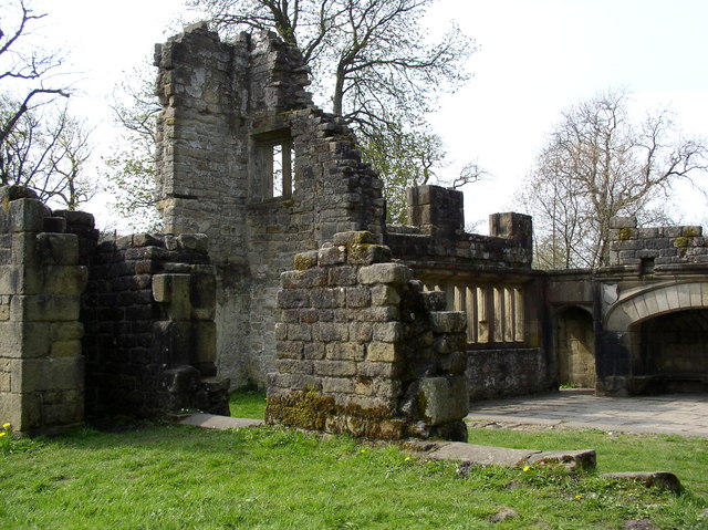
The hill has historical significance, as it is believed to have been used as a defensive settlement in ancient times due to its strategic location. Today, remnants of these ancient fortifications can still be seen, adding to the hill's charm and intrigue.
Overall, Barn Hill in Lancashire is a picturesque and accessible hill that offers a delightful escape into nature. With its scenic beauty, diverse wildlife, and historical significance, it is a must-visit destination for those seeking a peaceful and enriching outdoor experience.
If you have any feedback on the listing, please let us know in the comments section below.
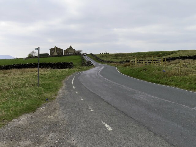
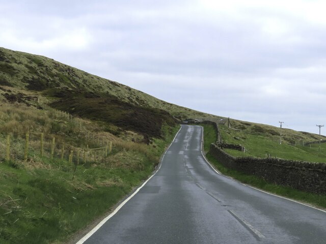
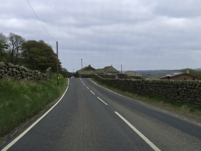
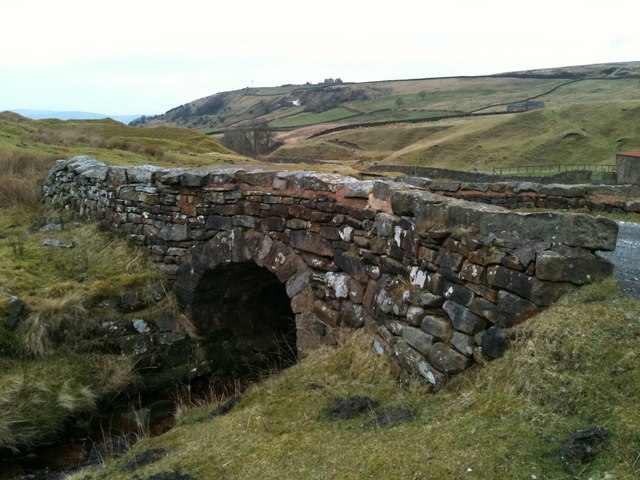
Barn Hill Images
Images are sourced within 2km of 53.839017/-2.0622694 or Grid Reference SD9638. Thanks to Geograph Open Source API. All images are credited.


Barn Hill is located at Grid Ref: SD9638 (Lat: 53.839017, Lng: -2.0622694)
Administrative County: Lancashire
District: Pendle
Police Authority: Lancashire
Also known as: Wycoller Ark
What 3 Words
///manifests.quaking.shape. Near Colne, Lancashire
Nearby Locations
Related Wikis

Watersheddles Reservoir
Watersheddles Reservoir is an upland artificial lake in Lancashire, England. The reservoir was opened in 1877 by the Keighley Corporation Water Works,...
Wycoller Hall
Wycoller Hall was a late sixteenth-century manor house in the village of Wycoller, Lancashire, England. The hall was the centre of a sizeable estate but...

Wycoller
Wycoller is a village in the civil parish of Trawden Forest in Pendle, Lancashire, England. It is 3 miles (4.8 km) east of Colne, near to the junction...

Wycoller Beck
Wycoller Beck is a stream in Lancashire, running through Wycoller Country Park and the village of Wycoller in Pendle. It is 3.76 miles (6.05 km) long and...
Nearby Amenities
Located within 500m of 53.839017,-2.0622694Have you been to Barn Hill?
Leave your review of Barn Hill below (or comments, questions and feedback).