An Tobha
Hill, Mountain in Inverness-shire
Scotland
An Tobha
An Tobha, also known as An Tudair or The Cobbler, is a distinctive hill located in Inverness-shire, Scotland. Standing at a height of 884 meters (2,900 feet), it is a popular destination for hikers and climbers due to its unique shape and stunning views from the summit.
The hill is composed of two distinct peaks, with the higher peak resembling a cobbler's last, hence its nickname. The lower peak is known as Little Cobbler. The hill is part of the Arrochar Alps range and is located near the village of Arrochar, offering easy access for visitors.
An Tobha is a relatively challenging climb, with steep and rocky terrain that requires a good level of fitness and experience. However, the effort is rewarded with breathtaking views of Loch Long, Loch Lomond, and the surrounding mountains of the Scottish Highlands.
The hill is rich in flora and fauna, with a variety of plant species and wildlife to be found along the way. It is also steeped in history, with ancient ruins and stone circles scattered throughout the area, adding to the mystical and enchanting atmosphere of An Tobha.
If you have any feedback on the listing, please let us know in the comments section below.
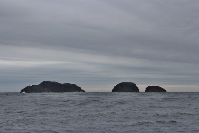
An Tobha Images
Images are sourced within 2km of 56.851358/-7.5899213 or Grid Reference NL5987. Thanks to Geograph Open Source API. All images are credited.

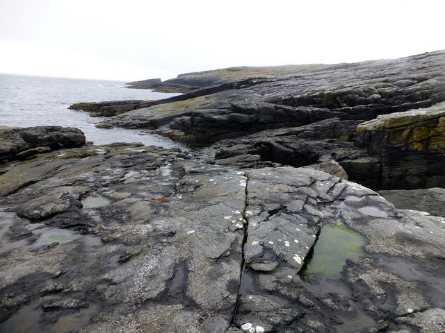
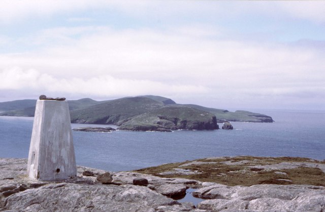
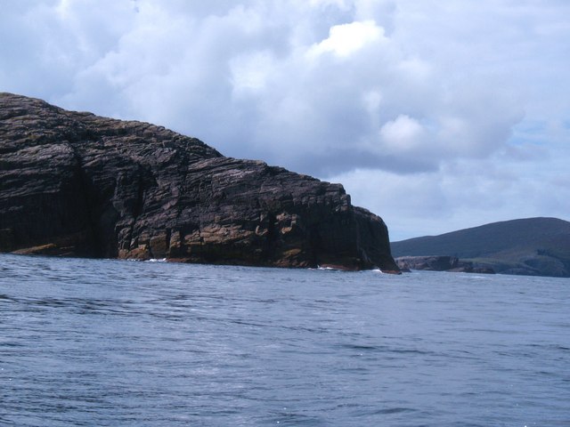
![An Tobha East Top Name: An Tobha East Top
Hill number: 12426
Height: 134m / 440ft
Parent (Ma/M): 1634 An Tobha [The Hoe]
Area: 24D: Barra to Barra Head
Class: 1
Grid ref: NL598874 (est)
Drop: 30m
Col: 104m NL596873](https://s0.geograph.org.uk/geophotos/03/96/23/3962304_673ab479.jpg)
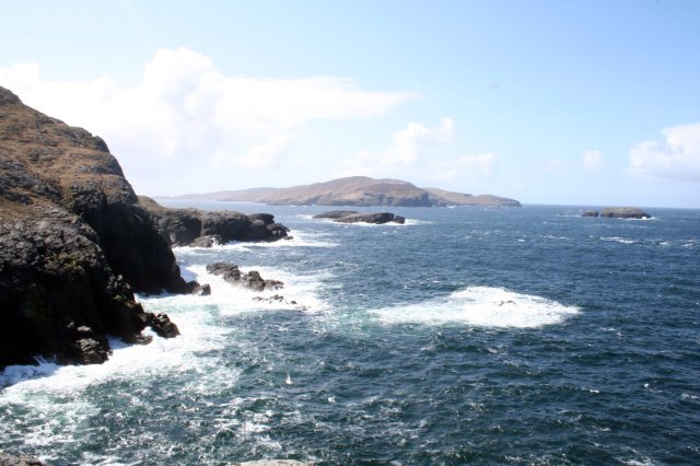
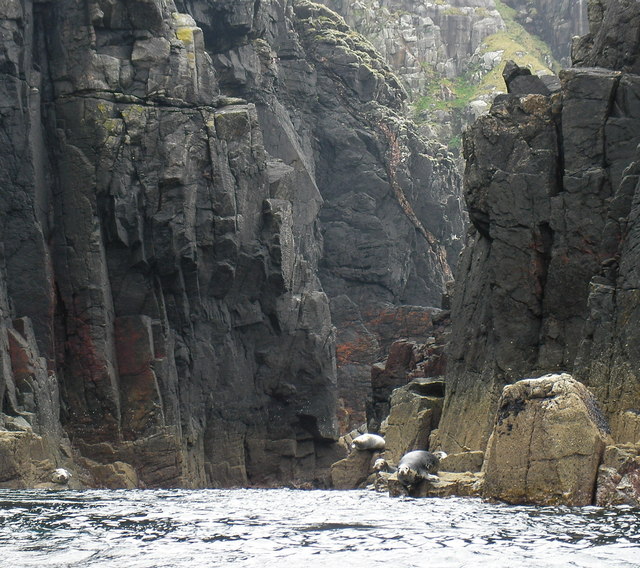
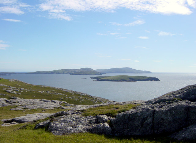
![Hesgeir a Staigh Shown as Inner Heisker on some 1:50000 maps, and confusingly also shown as 3 islets, where in fact there are four [the larger scale map is more accurate]. These are in the sound between Pabbay and Mingulay.](https://s0.geograph.org.uk/geophotos/02/06/22/2062208_0fb70f46.jpg)


An Tobha is located at Grid Ref: NL5987 (Lat: 56.851358, Lng: -7.5899213)
Unitary Authority: Na h-Eileanan an Iar
Police Authority: Highlands and Islands
Also known as: The Hoe
What 3 Words
///tall.hazy.cashier. Near CastleBay, Na h-Eileanan Siar
Nearby Locations
Related Wikis
Pabbay, Barra Isles
Pabbay (Scottish Gaelic: Pabaigh) is one of the Barra Isles at the southern tip of the Outer Hebrides of Scotland. The name comes from Papey, which is...
Lingeigh
Lingeigh or Lingay is an unpopulated islet in the Outer Hebrides. It lies towards the southern end of the archipelago, just north of Pabbay and five kilometres...

Mingulay
Mingulay (Scottish Gaelic: Miughalaigh) is the second largest of the Bishop's Isles in the Outer Hebrides of Scotland. Located 12 nautical miles (22 kilometres...

Barra Isles
The Barra Isles, also known as the Bishop's Isles, are a small archipelago in the Outer Hebrides of Scotland. They lie south of the island of Barra, for...
Nearby Amenities
Located within 500m of 56.851358,-7.5899213Have you been to An Tobha?
Leave your review of An Tobha below (or comments, questions and feedback).