Knockhall
Settlement in Kent Dartford
England
Knockhall
Knockhall is a small village located in the county of Kent, in southeastern England. It is situated near the town of Greenhithe and is surrounded by picturesque countryside. The village is known for its historic buildings, including a 17th-century manor house that has been converted into luxury apartments.
Knockhall is a quiet and peaceful village, with a close-knit community of residents who take pride in their surroundings. The village has a few local amenities, including a small shop and a pub, making it a convenient place to live for those who enjoy a more rural lifestyle.
The village is well-connected to the rest of Kent and London, with good transport links including a nearby railway station and easy access to major road networks. This makes Knockhall an attractive location for commuters looking to escape the hustle and bustle of city life.
Overall, Knockhall is a charming village with a rich history and a strong sense of community, making it a desirable place to live for those seeking a peaceful and idyllic setting in the heart of the English countryside.
If you have any feedback on the listing, please let us know in the comments section below.
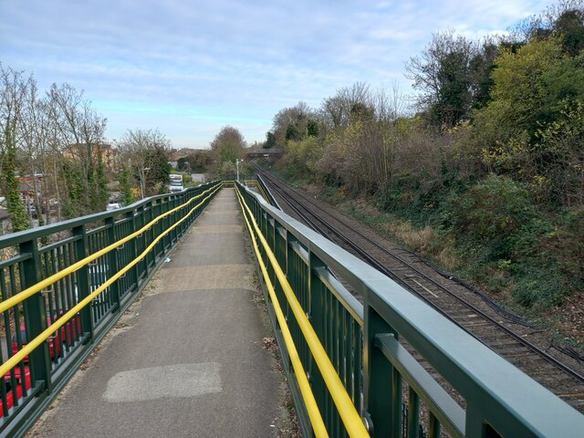
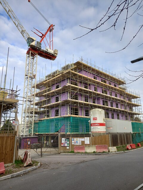
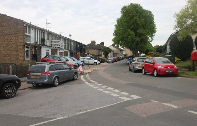
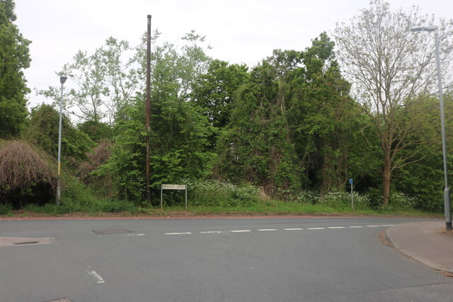
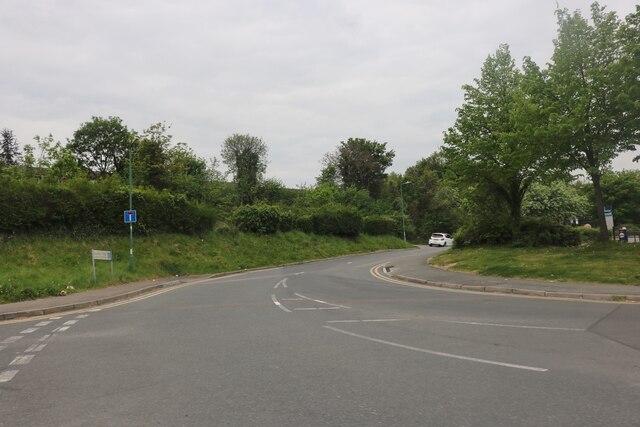
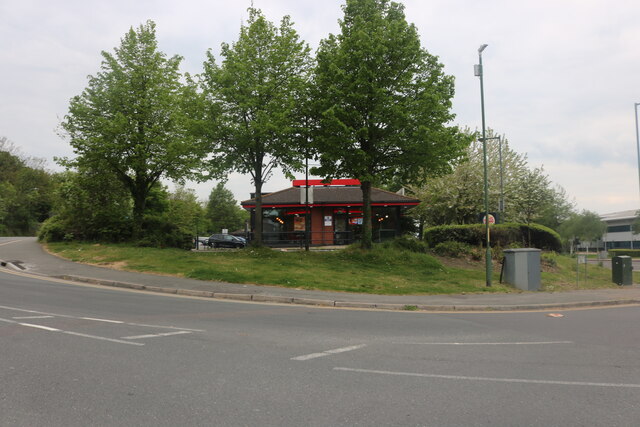
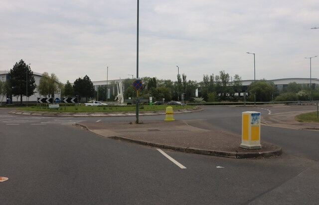
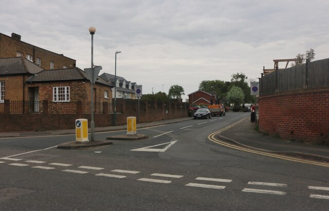
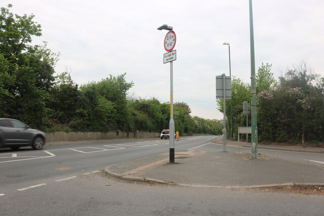
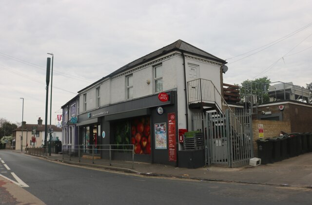
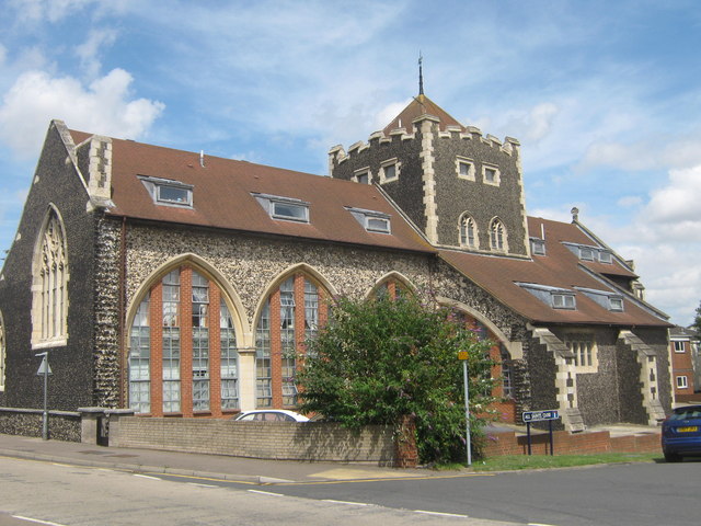
Knockhall Images
Images are sourced within 2km of 51.449293/0.29027 or Grid Reference TQ5974. Thanks to Geograph Open Source API. All images are credited.


Knockhall is located at Grid Ref: TQ5974 (Lat: 51.449293, Lng: 0.29027)
Administrative County: Kent
District: Dartford
Police Authority: Kent
What 3 Words
///spaces.snake.cage. Near Greenhithe, Kent
Nearby Locations
Related Wikis
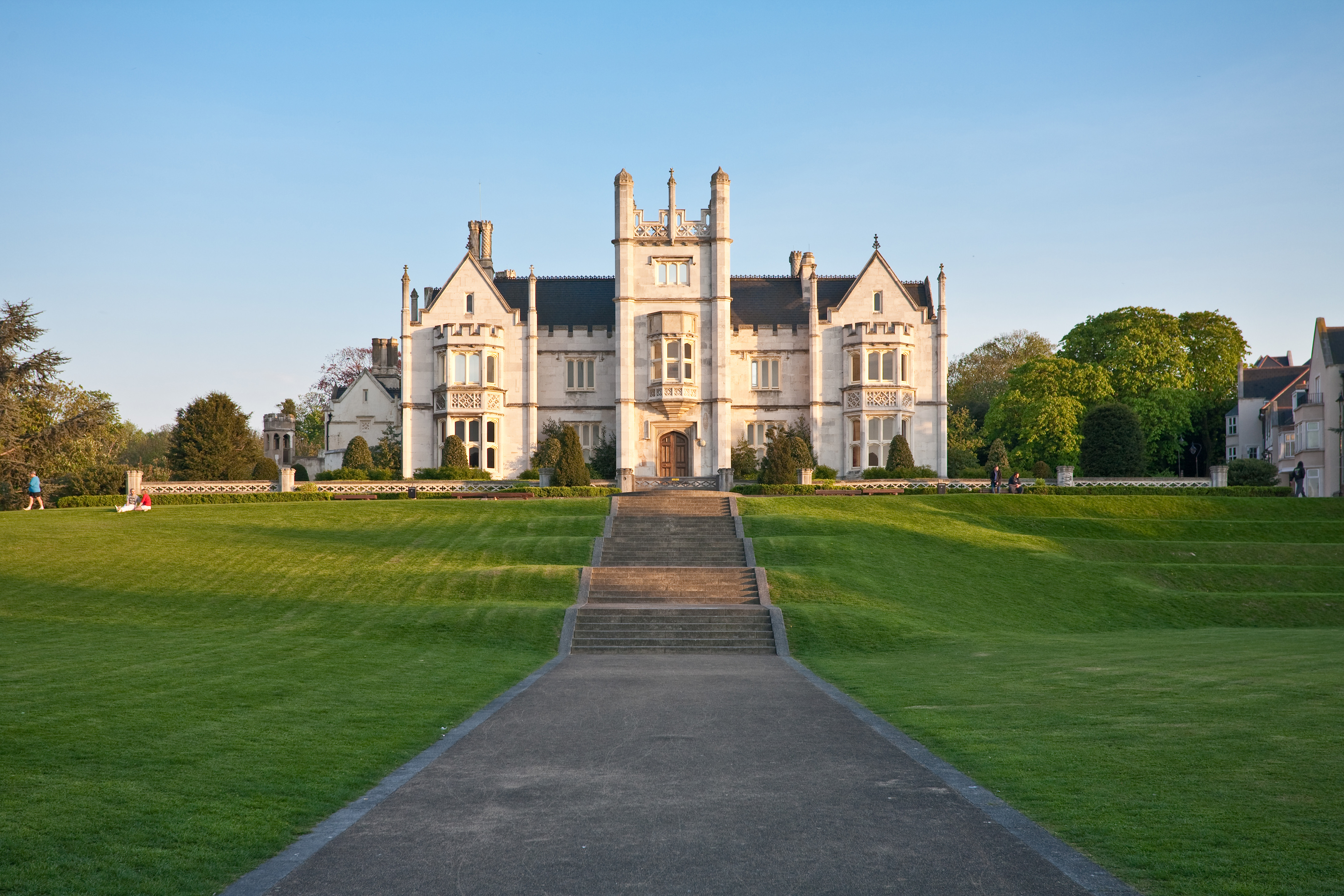
Ingress Abbey
Ingress Abbey is a Neo-gothic Jacobean-style country house in Greenhithe, Kent, England, built in 1833 on the site of an earlier Palladian-style house...

Greenhithe, Kent
Greenhithe is a village in the Borough of Dartford in Kent, England, and the civil parish of Swanscombe and Greenhithe. It is located 4 miles (6.5 kilometres...
Swanscombe
Swanscombe /ˈswɒnzkəm/ is a village in the Borough of Dartford in Kent, England, and the civil parish of Swanscombe and Greenhithe. It is 4.4 miles west...

Swanscombe Heritage Park
Swanscombe Skull Site or Swanscombe Heritage Park is a 3.9 hectares (9.6 acres) geological Site of Special Scientific Interest in Swanscombe in north-west...
Nearby Amenities
Located within 500m of 51.449293,0.29027Have you been to Knockhall?
Leave your review of Knockhall below (or comments, questions and feedback).