Carn-yr-hyrddod

Heritage SIte in Glamorgan

Wales

Carn-yr-hyrddod

Ordnance Survey Pivot This OS pivot can be found on a stone west edge of the path. It marks a point 1680.38ft above mean sea level.
Ordnance Survey Pivot Credit: Adrian Dust

Carn-yr-hyrddod is a significant heritage site located in Glamorgan, Wales. Situated amidst the picturesque landscape of the Brecon Beacons National Park, this ancient monument holds immense historical and cultural value. The site is an impressive cairn, or burial mound, believed to date back to the Bronze Age, around 2000 BCE.

The cairn is constructed using large stones and is circular in shape, measuring approximately 12 meters in diameter. It stands at an elevation of around 300 meters, affording panoramic views of the surrounding countryside. The stones used in its construction are believed to have been sourced locally, adding to its authenticity and connection to the region's history.

Archaeological excavations carried out at Carn-yr-hyrddod have revealed a remarkable burial chamber within the cairn. This chamber is accessed through a small entrance passage, leading to a central chamber where cremated remains have been found. These findings suggest that the site was used for ceremonial and burial purposes, possibly by a prominent individual or community during the Bronze Age.

Carn-yr-hyrddod is a testament to the sophisticated engineering and cultural practices of the ancient inhabitants of Glamorgan. The site attracts visitors from all around the world, offering them a glimpse into the region's rich past and providing an opportunity to appreciate the enduring legacy of the Bronze Age. It is also a popular destination for hikers and nature enthusiasts, who can combine their exploration of the monument with the stunning natural beauty of the Brecon Beacons National Park.

If you have any feedback on the listing, please let us know in the comments section below.

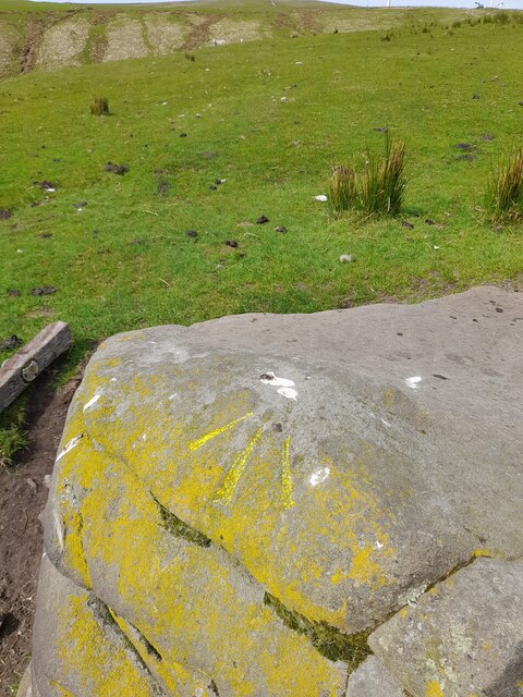
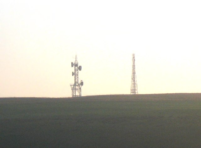
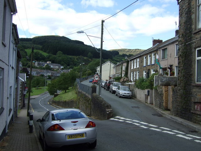
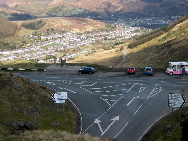
Carn-yr-hyrddod Images

Images are sourced within 2km of 51.628876/-3.5620135 or Grid Reference SS9193. Thanks to Geograph Open Source API. All images are credited.

Ordnance Survey Pivot This OS pivot can be found on a stone west edge of the path. It marks a point 1680.38ft above mean sea level.
Ordnance Survey Pivot
This OS pivot can be found on a stone west edge of the path. It marks a point 1680.38ft above mean sea level.
Carn-yr-hyrddod
Carn-yr-hyrddod
Ordnance Survey Pivot This OS pivot can be found on a boulder north side of the path. It marks a point 1664.9ft above mean sea level.
Ordnance Survey Pivot
This OS pivot can be found on a boulder north side of the path. It marks a point 1664.9ft above mean sea level.
Japanese knotweed and Himalayan balsam Invasive species taking over the banks of the Ogmore River.
Japanese knotweed and Himalayan balsam
Invasive species taking over the banks of the Ogmore River.
Bethel Chapel, Nantymoel Another sign of the depressed condition of the Welsh valleys. The chapel, built in 1877, is steadily deteriorating despite plans 15 years ago to turn it into a residential care home.
Bethel Chapel, Nantymoel
Another sign of the depressed condition of the Welsh valleys. The chapel, built in 1877, is steadily deteriorating despite plans 15 years ago to turn it into a residential care home.
Formerly the Nantymoel Hotel In its heyday a convenient hotel close to the railway station. Now, yet another sign of a run-down valleys community.  A close look at the pub sign reveals the remaining letters of Welsh Brewers (above) and Nantymoel (below).
Formerly the Nantymoel Hotel
In its heyday a convenient hotel close to the railway station. Now, yet another sign of a run-down valleys community. A close look at the pub sign reveals the remaining letters of Welsh Brewers (above) and Nantymoel (below).
Walking along the old railway line Approaching Nantymoel. In the distance is Craig Ogwr at the head of the Ogwr Fawr. The river enters the Bristol Channel 12 miles away at Ogmore by Sea.
Walking along the old railway line
Approaching Nantymoel. In the distance is Craig Ogwr at the head of the Ogwr Fawr. The river enters the Bristol Channel 12 miles away at Ogmore by Sea.
Blaengarw Top of the Garw valley.
Blaengarw
Top of the Garw valley.
Transmitters on Werfa Taken from the A4107 just to the northeast
Transmitters on Werfa
Taken from the A4107 just to the northeast
Cascade at hairpin bend above Nant-y-Moel On the hill pass from Treorci (Treorchy) to Nant-y-Moel is this impressive waterfall under Tarren Rhiw Maen.
Cascade at hairpin bend above Nant-y-Moel
On the hill pass from Treorci (Treorchy) to Nant-y-Moel is this impressive waterfall under Tarren Rhiw Maen.
A4061 just before, and just after, a big hairpin bend. The road climbs towards me, loops around the hairpin bend (off shot,left), and continues its ascending route along the middle of the photo, with the magnificent Craig Ogwr above it.
A4061 just before, and just after, a big hairpin bend.
The road climbs towards me, loops around the hairpin bend (off shot,left), and continues its ascending route along the middle of the photo, with the magnificent Craig Ogwr above it.
The High Life At Twyn Crugyrafan The Highest point of the A4107 at 527m above sea level. In the centre of the photo is the roadside weather station operated by Neath-Port Talbot highways dept.
The High Life At Twyn Crugyrafan
The Highest point of the A4107 at 527m above sea level. In the centre of the photo is the roadside weather station operated by Neath-Port Talbot highways dept.
Derelict wind turbines A prototype windfarm above Blaengarw. All that is visible now are the concrete bases
Derelict wind turbines
A prototype windfarm above Blaengarw. All that is visible now are the concrete bases
Blaengarw Post Office Opposite The Strand and Herbert Street junction. Looking in the direction of Pontycymer.
Blaengarw Post Office
Opposite The Strand and Herbert Street junction. Looking in the direction of Pontycymer.
Blaengarw Hotel Large public house on the corner of The Strand, looking towards the head of the valley.
Blaengarw Hotel
Large public house on the corner of The Strand, looking towards the head of the valley.
Nant-y-Moel Post Office Post Office in Commercial Street, opposite the Nant-y-Moel Social Club and Institute.
Nant-y-Moel Post Office
Post Office in Commercial Street, opposite the Nant-y-Moel Social Club and Institute.
Road junction in Nant-y-Moel Road on the right climbs up to meet the A4061 at the northern end of the village.
Road junction in Nant-y-Moel
Road on the right climbs up to meet the A4061 at the northern end of the village.
Road junction above Nant-y-Moel Road that drops from A4061 down to Nant-y-Moel village from the north.
Road junction above Nant-y-Moel
Road that drops from A4061 down to Nant-y-Moel village from the north.
Show me another place!

Carn-yr-hyrddod is located at Grid Ref: SS9193 (Lat: 51.628876, Lng: -3.5620135)

Unitary Authority: Bridgend

Police Authority: South Wales

Also known as: Tarren y Fforch

What 3 Words

///wonderful.negotiators.sway. Near Price Town, Bridgend

Related Wikis

Nantymoel railway station

Nantymoel railway station served the village of Nant-y-moel, in the historical county of Glamorgan, Wales, from 1873 to 1958 on the Ogmore Valley Railway...

Mynydd Llangeinwyr

Mynydd Llangeinwyr is the highest hill in the county borough of Bridgend in the coalfield of South Wales. It forms a long north-south ridge between the...

Nant-y-moel

Nant-y-moel or Nantymoel [nant ə mɔi̯l] (meaning "stream from the bare mountain") is a village and includes the formerly separate village of Pricetown...

A4061 road

The A4061 is the main road linking Bridgend with Hirwaun via the Ogmore and Rhondda Valleys in South Wales. It is a mix of streets connecting former mining...

Have you been to Carn-yr-hyrddod?

Leave your review of Carn-yr-hyrddod below (or comments, questions and feedback).