Conny Tammy Currack

Hill, Mountain in Yorkshire Richmondshire

England

Conny Tammy Currack

Bloody Wall and Bloody Vale There must be something up here that gave the locals a hard time, for them to have felt the need to swear at these features when giving them names. They don't look like the sort of places that light up red catching the rising or setting sun which is often an excuse for this type of nomenclature. The stream just here is Black Gutter which, when joined by Tarn Sike (draining from Summer Lodge Tarn) becomes Croft Beck.
Bloody Wall and Bloody Vale Credit: Andy Waddington

The requested URL returned error: 429 Too Many Requests

If you have any feedback on the listing, please let us know in the comments section below.

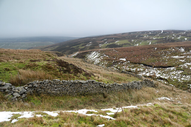
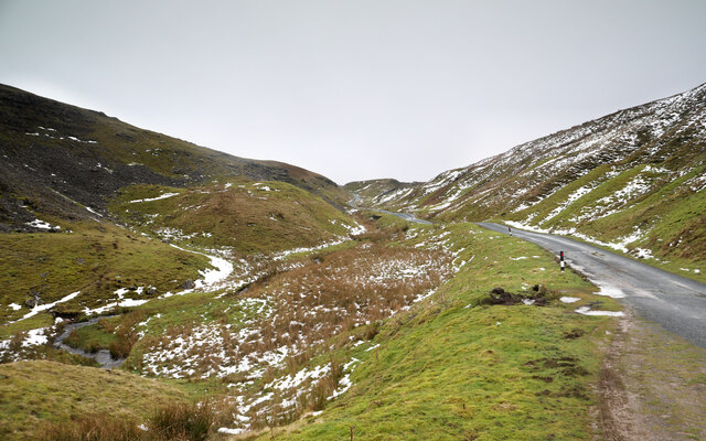
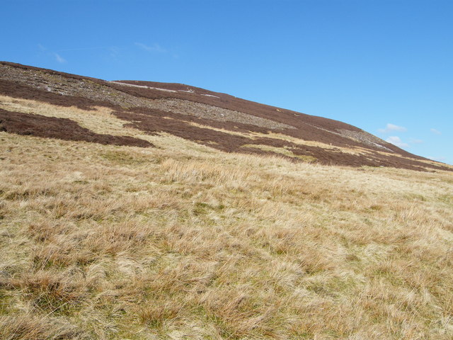
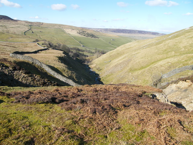
Conny Tammy Currack Images

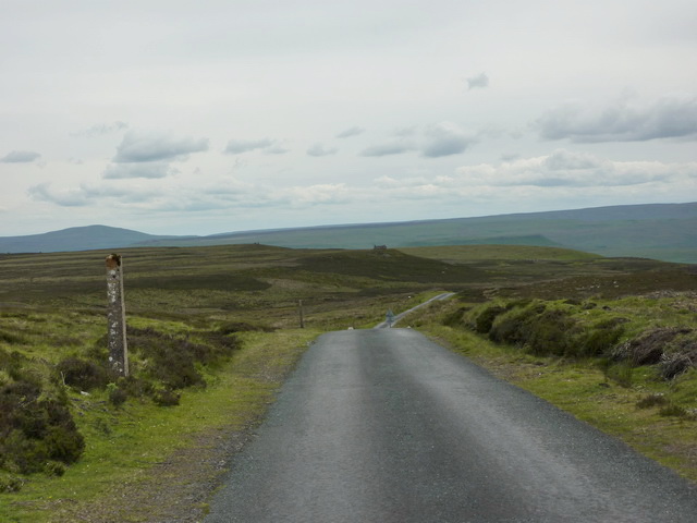
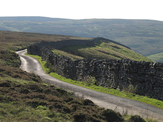
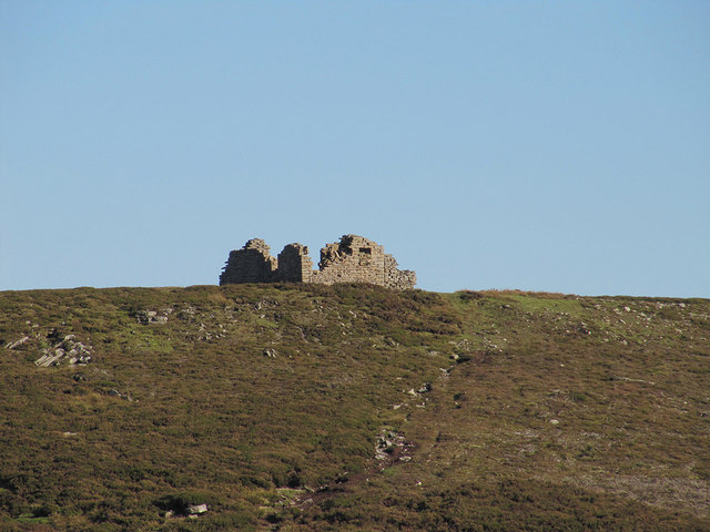
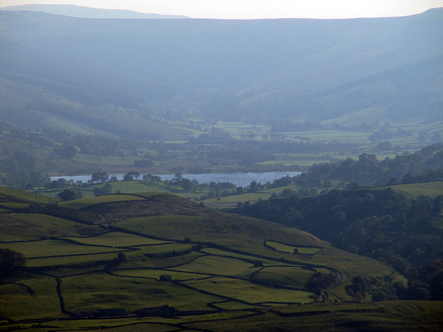
Images are sourced within 2km of 54.344615/-2.0689874 or Grid Reference SD9594. Thanks to Geograph Open Source API. All images are credited.

Bloody Wall and Bloody Vale There must be something up here that gave the locals a hard time, for them to have felt the need to swear at these features when giving them names. They don't look like the sort of places that light up red catching the rising or setting sun which is often an excuse for this type of nomenclature. The stream just here is Black Gutter which, when joined by Tarn Sike (draining from Summer Lodge Tarn) becomes Croft Beck.
Bloody Wall and Bloody Vale
There must be something up here that gave the locals a hard time, for them to have felt the need to swear at these features when giving them names. They don't look like the sort of places that light up red catching the rising or setting sun which is often an excuse for this type of nomenclature. The stream just here is Black Gutter which, when joined by Tarn Sike (draining from Summer Lodge Tarn) becomes Croft Beck.
Black Gutter The eroding south bank of Black Gutter readily shows why it is so named as the scree is very dark. It appears to be part of the Main Chert, which interbeds into sandstones and shales, with a small coal seam in places below the Little Limestone, but that doesn't seem to be the outcrop here. Impending loss of visibility and distance from any paths precluded my having time for a closer look. The stream flows east, to be fed by the outlet of Summer Lodge Tarn and becomes Croft Beck, in the interestingly named Bloody Vale.
Black Gutter
The eroding south bank of Black Gutter readily shows why it is so named as the scree is very dark. It appears to be part of the Main Chert, which interbeds into sandstones and shales, with a small coal seam in places below the Little Limestone, but that doesn't seem to be the outcrop here. Impending loss of visibility and distance from any paths precluded my having time for a closer look. The stream flows east, to be fed by the outlet of Summer Lodge Tarn and becomes Croft Beck, in the interestingly named Bloody Vale.
Askrigg Common road ascends Oxnop Gill This is one of the two "main" roads, from mid-Swaledale to Askrigg in Wensleydale, and if you think it looks a bit narrow, try the far sketchier tiny road on the north side of Oxnop Gill (above the horizon left in this view). It's clear that it doesn't take a lot of snow to block these roads, and as there are no farms this high, ploughing the road (needed for milk tankers to reach dairy farms) is very low priority. They are steep at both ends near the main valley floors - very hard work on a bike and no safe way to enjoy a speedy descent either !
Askrigg Common road ascends Oxnop Gill
This is one of the two "main" roads, from mid-Swaledale to Askrigg in Wensleydale, and if you think it looks a bit narrow, try the far sketchier tiny road on the north side of Oxnop Gill (above the horizon left in this view). It's clear that it doesn't take a lot of snow to block these roads, and as there are no farms this high, ploughing the road (needed for milk tankers to reach dairy farms) is very low priority. They are steep at both ends near the main valley floors - very hard work on a bike and no safe way to enjoy a speedy descent either !
Tarn Seat Beacon on Tarn Seat with Summer Lodge Tarn beyond.
Tarn Seat
Beacon on Tarn Seat with Summer Lodge Tarn beyond.
Satron Tarn This small tarn lies half a mile west of the much larger Summer Lodge Tarn.
Satron Tarn
This small tarn lies half a mile west of the much larger Summer Lodge Tarn.
Blea Barf The southern aspect of the hill
Blea Barf
The southern aspect of the hill
Summer Lodge Looking down to  Summer Lodge with Scurvy Scar on the right.
Summer Lodge
Looking down to Summer Lodge with Scurvy Scar on the right.
Valley of Summer Lodge Beck Summer Lodge Beck drains northwards into Swaledale; the hill seen across the valley is Blea Barf.
Valley of Summer Lodge Beck
Summer Lodge Beck drains northwards into Swaledale; the hill seen across the valley is Blea Barf.
Road to Summer Lodge The sign says unsuitable to vehicles
Road to Summer Lodge
The sign says unsuitable to vehicles
Long Band With Greets Shooting House in the distance
Long Band
With Greets Shooting House in the distance
Cattle grid near Fleak Moss
Wall by the road above Summer Lodge Pasture
Greets Shooting House ruin
Semerwater seen from Windgate Greets Interesting distant view of Semerwater showing it's unusual elevated location above Wensleydale.
More information about semerwater from here.
<span class="nowrap"><a title="http://www.yorkshiredales.org.uk/visit-the-dales/discover-the-dales/lovely-lakes/semer-water" rel="nofollow ugc noopener" href="http://www.yorkshiredales.org.uk/visit-the-dales/discover-the-dales/lovely-lakes/semer-water">Link</a><img style="margin-left:2px;" alt="External link" title="External link - shift click to open in new window" src="https://s1.geograph.org.uk/img/external.png" width="10" height="10"/></span>
"Semer Water is a natural lake of glacial origin, a rare feature and one of the largest in Yorkshire. It was dammed at its lower end by glacial debris and was formerly much bigger reaching further up Raydale; the overflow from the lake formed the gorge and falls of the River Bain above Bainbridge. The former course of the Bain at the Countersett end is blocked by a drift tail. "
Semerwater seen from Windgate Greets
Interesting distant view of Semerwater showing it's unusual elevated location above Wensleydale. More information about semerwater from here. LinkExternal link "Semer Water is a natural lake of glacial origin, a rare feature and one of the largest in Yorkshire. It was dammed at its lower end by glacial debris and was formerly much bigger reaching further up Raydale; the overflow from the lake formed the gorge and falls of the River Bain above Bainbridge. The former course of the Bain at the Countersett end is blocked by a drift tail. "
Frozen tarn west of Blea Barf
Cairn on Blea Barf A fine 2 metre cairn with views east and north particularly good.
Cairn on Blea Barf
A fine 2 metre cairn with views east and north particularly good.
Sheepfold at the head of Bloody Vale
Disused shafts, Satron Moor
Show me another place!

Conny Tammy Currack is located at Grid Ref: SD9594 (Lat: 54.344615, Lng: -2.0689874)

Division: North Riding

Administrative County: North Yorkshire

District: Richmondshire

Police Authority: North Yorkshire

Also known as: Tarn Seat

What 3 Words

///until.commoners.fortress. Near Leyburn, North Yorkshire

Related Wikis

Crackpot, North Yorkshire

Crackpot is a village in Swaledale, North Yorkshire, England. Its name derives from the Old English kraka (crow) and the Viking word pot (usually a pit...

Newbiggin, Askrigg

Newbiggin is a hamlet very close to Askrigg, North Yorkshire, England. Another Newbiggin is only about 7 miles (11 km) away. The hamlet consists of eight...
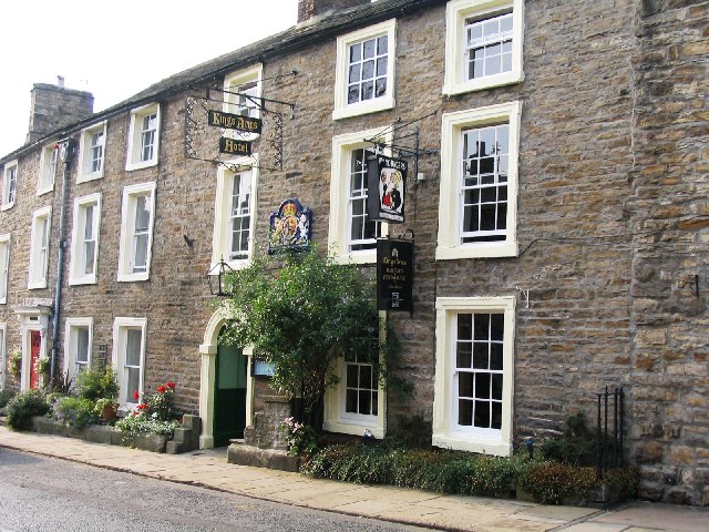
Kings Arms Hotel

The Kings Arms Hotel is a public house in the English village of Askrigg, North Yorkshire. A Grade II listed building, standing on the northern side of...

Askrigg

Askrigg is a small village and civil parish in Wensleydale in the Yorkshire Dales National Park. It was formerly a part of the Richmondshire district of...

Nearby Amenities

Located within 500m of 54.344615,-2.0689874
The Fleak
Ele: 551
Man Made: survey_point
Natural: peak
Survey Point: pillar
Lat/Long: 54.344613/-2.068983
The data included in this document is from www.openstreetmap.org. The data is made available under ODbL.

Have you been to Conny Tammy Currack?

Leave your review of Conny Tammy Currack below (or comments, questions and feedback).