Baugh Fell
Hill, Mountain in Yorkshire South Lakeland
England
Baugh Fell

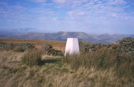
Baugh Fell is a prominent hill located in the county of Yorkshire, England. Standing at an elevation of 678 meters (2,224 feet), it is considered one of the highest points in the region. Its distinct shape and commanding presence make it a notable landmark in the Yorkshire Dales National Park.
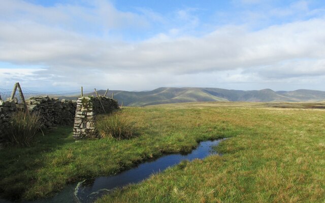
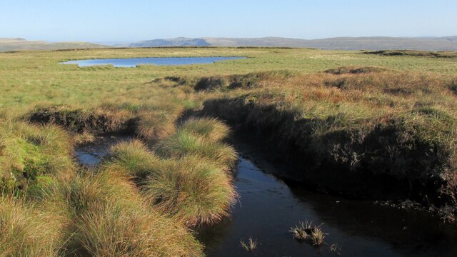
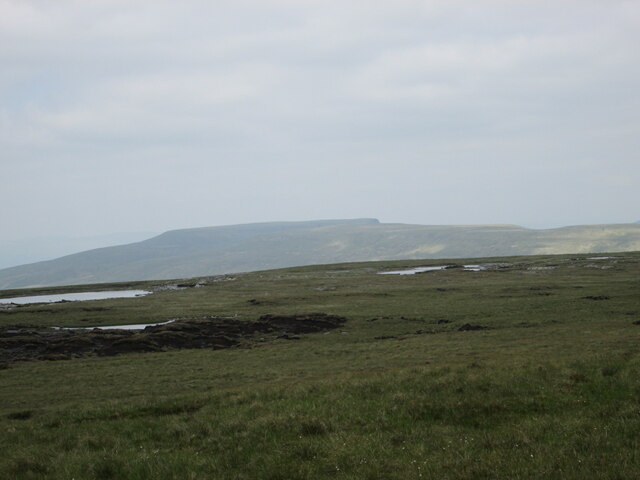
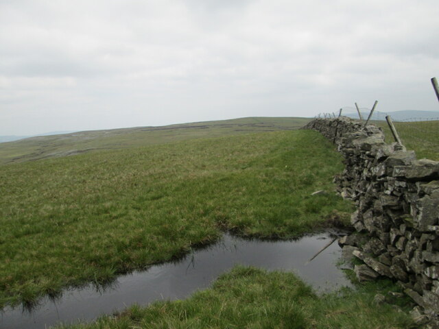
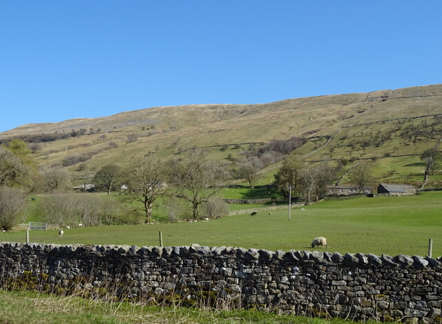
The hill is characterized by its rugged and barren landscape, with large expanses of moorland dominating the area. Its slopes are covered in thick heather, interspersed with patches of grassland. Baugh Fell is known for its wild and untamed beauty, offering breathtaking panoramic views of the surrounding countryside.
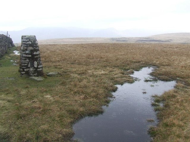
The terrain of Baugh Fell is relatively gentle, making it accessible to hikers and walkers of various skill levels. Numerous footpaths crisscross the hill, providing opportunities for outdoor enthusiasts to explore its vast expanse. The popular route to the summit starts from the village of Newbiggin-on-Lune, leading through open countryside before reaching the peak.
The hill is home to a diverse range of flora and fauna, including numerous bird species and rare plants. It is also known for its archaeological significance, with evidence of human activity dating back thousands of years. Ancient burial mounds and stone circles can be found scattered across the landscape, adding to the hill's historical allure.
Baugh Fell offers a peaceful and serene escape from the hustle and bustle of modern life. Its untouched wilderness and captivating vistas make it a must-visit destination for nature lovers and those seeking a tranquil retreat in the heart of Yorkshire.
If you have any feedback on the listing, please let us know in the comments section below.
Baugh Fell Images
Images are sourced within 2km of 54.319661/-2.4000084 or Grid Reference SD7491. Thanks to Geograph Open Source API. All images are credited.


Baugh Fell is located at Grid Ref: SD7491 (Lat: 54.319661, Lng: -2.4000084)
Division: West Riding
Administrative County: Cumbria
District: South Lakeland
Police Authority: Cumbria
Also known as: Tarn Rigg Hill
What 3 Words
///spends.cabbies.cringe. Near Sedbergh, Cumbria
Nearby Locations
Related Wikis

Baugh Fell
Baugh Fell (, or locally ) is a large, flat-topped hill in the northern Pennines of England. It lies in the north-western corner of the Yorkshire Dales...

Garsdale
Garsdale is a dale or valley in the south east of Cumbria, England, historically a part of the West Riding of Yorkshire. It is now within the Westmorland...

Rise Hill Tunnel
Rise Hill Tunnel is a 1,213-yard (1,109 m) long tunnel that takes the Settle–Carlisle line beneath Black Moss in Cumbria, England. It is the second longest...
Aye Gill Pike
Aye Gill Pike is a Marilyn in the Yorkshire Dales, the highest point of the ridge of Rise Hill between Dentdale and Garsdale in Cumbria, England.
Nearby Amenities
Located within 500m of 54.319661,-2.4000084Have you been to Baugh Fell?
Leave your review of Baugh Fell below (or comments, questions and feedback).