Godworth

Hill, Mountain in Cumberland Copeland

England

Godworth

Fields near Smaithwaite Farm
Fields near Smaithwaite Farm Credit: David Medcalf

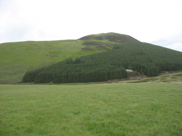
Godworth is a prominent hill located in the picturesque region of Cumberland, England. Rising majestically to an elevation of approximately 500 meters, this natural wonder is known as a mountain or hill, depending on the criteria used for classification. It is situated in the northwestern part of the county, within the Lake District National Park.

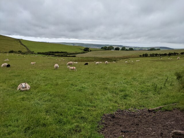
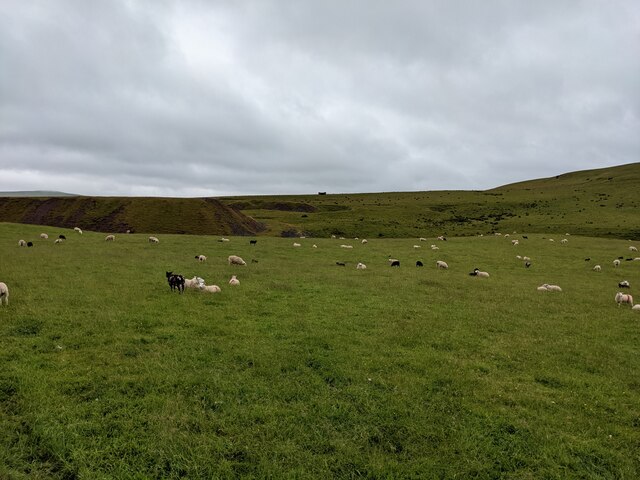
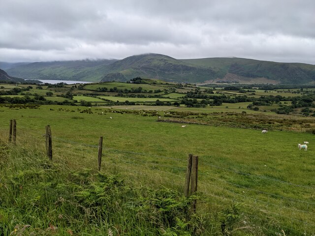
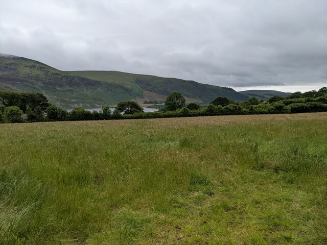
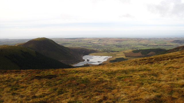
Godworth is renowned for its stunning panoramic views that stretch across the surrounding landscape. The hill offers breathtaking vistas of the lush green valleys, rolling hills, and shimmering lakes that make up the region's scenic beauty. On clear days, visitors can even catch a glimpse of the distant Irish Sea.

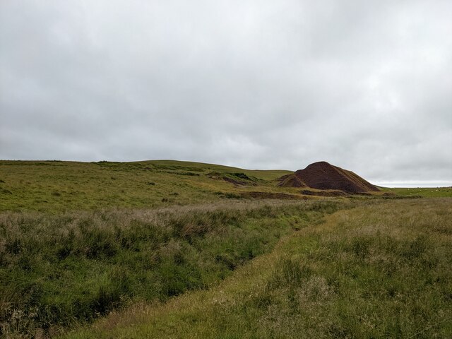
The terrain of Godworth is characterized by its rugged nature, with steep slopes and rocky outcrops adding to its dramatic appeal. The hill is covered in a variety of vegetation, including heather, bracken, and scattered trees, which create a vibrant tapestry of colors throughout the year.

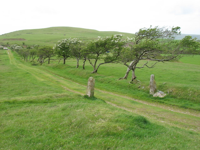
For outdoor enthusiasts, Godworth provides an excellent opportunity for hiking and exploring. Several well-marked trails traverse the hill, offering a range of difficulty levels to suit different abilities. Along these paths, visitors can discover ancient ruins, tranquil streams, and a diverse array of wildlife, including birds of prey, deer, and rare plant species.

Godworth holds a significant place in local folklore and history, with tales and legends surrounding its origins and past. It is a cherished landmark for the residents of Cumberland, attracting both nature lovers and those seeking a peaceful retreat in the heart of England's natural beauty.

If you have any feedback on the listing, please let us know in the comments section below.
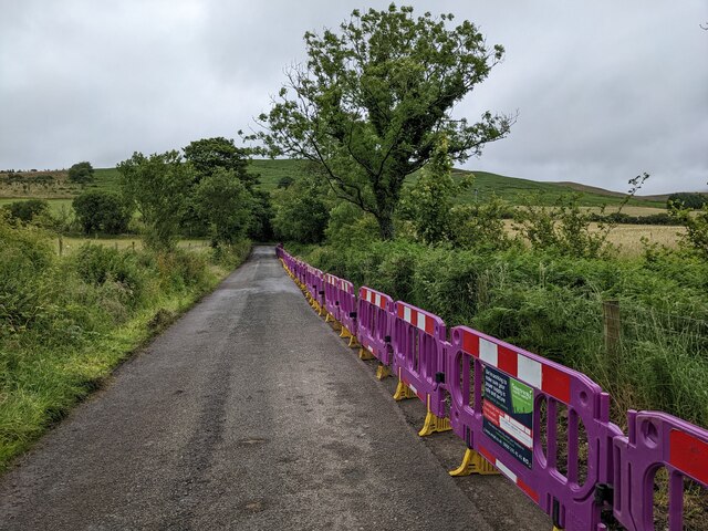
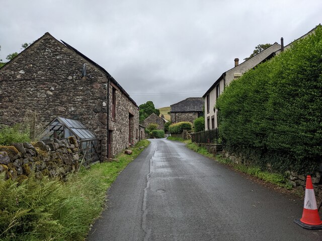
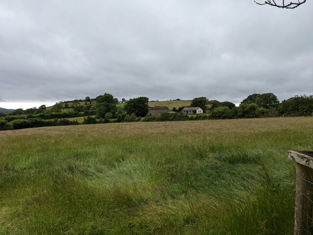
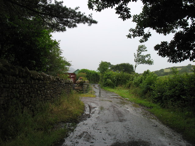
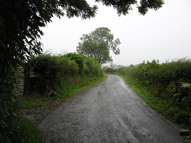
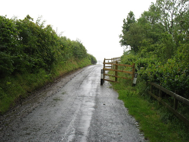
Godworth Images

Images are sourced within 2km of 54.551903/-3.3916337 or Grid Reference NY1018. Thanks to Geograph Open Source API. All images are credited.
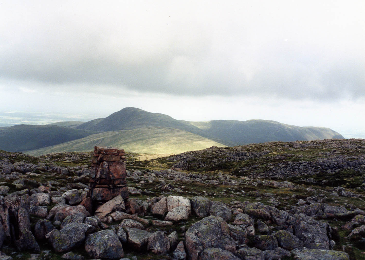
Fields near Smaithwaite Farm
Fields by Smaithwaite Beck Looking towards the old mine tips.
Fields by Smaithwaite Beck
Looking towards the old mine tips.
Mine tips near Smaithwaite Beck
A rough track off Cauda Brow Not seeming to lead anywhere, it is probably related to the old mines in the area.
A rough track off Cauda Brow
Not seeming to lead anywhere, it is probably related to the old mines in the area.
Rough ground below Cauda Brow
A first glimpse of Ennerdale Water From Cauda Brow.
A first glimpse of Ennerdale Water
From Cauda Brow.
A colourful addition to the lane above Croasdale A new electricity cable is being laid.
A colourful addition to the lane above Croasdale
A new electricity cable is being laid.
Buildings in Croasdale
Looking towards Croftfoot
A field near Ennerdale Water
Murton Fell from Kelton Fell
The track to Kelton Fell Looking back to the T-junction and the road to Kirkland. The direction of the prevailing wind is clear!
The track to Kelton Fell
Looking back to the T-junction and the road to Kirkland. The direction of the prevailing wind is clear!
Disused railway A bridge on the former railway serving the mine on Murton Fell.
Disused railway
A bridge on the former railway serving the mine on Murton Fell.
Cogra Moss from Blake Fell
Farm track at Whins On some maps this is shown as a public road. But it is signed 'Unsuitable for motor vehicles', and I would certainly not have risked my own car along here! Bridleway, for horses and walkers, fine - but I suspect that otherwise you would need a 4x4 to get along here. (This track emerges one square to the west, at NY088166.)
Farm track at Whins
On some maps this is shown as a public road. But it is signed 'Unsuitable for motor vehicles', and I would certainly not have risked my own car along here! Bridleway, for horses and walkers, fine - but I suspect that otherwise you would need a 4x4 to get along here. (This track emerges one square to the west, at NY088166.)
The lane from Croasdale Heading for Ennerdale Bridge.
The lane from Croasdale
Heading for Ennerdale Bridge.
Road narrows ! A landslip to the right has resulted in part of this minor country lane slipping down towards the stream. I suspect that the local Council found it much cheaper to put up this barrier and a couple of 'Road Narrows' signs, rather than rebuild the road with proper defences. And if I am honest, I can hardly blame them. It really is a very minor road.
Of course, what happens when the next landslip takes away all of this road, however minor, is quite another matter. Then (Shock! Horror!) a Right of Way has been lost.
Road narrows !
A landslip to the right has resulted in part of this minor country lane slipping down towards the stream. I suspect that the local Council found it much cheaper to put up this barrier and a couple of 'Road Narrows' signs, rather than rebuild the road with proper defences. And if I am honest, I can hardly blame them. It really is a very minor road. Of course, what happens when the next landslip takes away all of this road, however minor, is quite another matter. Then (Shock! Horror!) a Right of Way has been lost.
Murton Fell [Knock Murton] Via Harris Side from minor road on grey day.
Name: Murton Fell [Knock Murton]
Hill number: 2492
Height: 447m / 1467ft
Area: 34B: Lake District - Central & Western Fells
Class: Hu,sMa,B
Grid ref: NY 09485 19079
Summit feature: no feature: 2m from small narrow cairn
Drop: 141m
Col: 306m  NY098188
Murton Fell [Knock Murton]
Via Harris Side from minor road on grey day. Name: Murton Fell [Knock Murton] Hill number: 2492 Height: 447m / 1467ft Area: 34B: Lake District - Central & Western Fells Class: Hu,sMa,B Grid ref: NY 09485 19079 Summit feature: no feature: 2m from small narrow cairn Drop: 141m Col: 306m NY098188
Show me another place!

Godworth is located at Grid Ref: NY1018 (Lat: 54.551903, Lng: -3.3916337)

Administrative County: Cumbria

District: Copeland

Police Authority: Cumbria

Also known as: Saddler's Knott

What 3 Words

///teaches.supposed.standards. Near Frizington, Cumbria

Related Wikis

Knock Murton

Knock Murton or Murton Fell is a hill of 464.4 metres (1,524 ft) in the north west of the Lake District, England. It lies in the Borough of Copeland in...

Cogra Moss

Cogra Moss is a shallow reservoir to the east of the village of Lamplugh on the western edge of the English Lake District. It was created by the damming...

Gavel Fell

Gavel Fell is a hill in the English Lake District. Centremost of the five Loweswater Fells in the western part of the District, it stands between Hen Comb...

Blake Fell

Blake Fell is a hill in the Western part of the English Lake District. It is the highest point of the Loweswater Fells, an area of low grassy hills with...

Nearby Amenities

Located within 500m of 54.551903,-3.3916337
Saddler's Knott
Ele: 360
Natural: peak
Source: npe
Lat/Long: 54.5545538/-3.3883314
Croasdale Iron Mine
Abandoned: yes
Historic: mine
Man Made: mine
Mineral: iron
Lat/Long: 54.5487613/-3.3961314
Godworth
Ele: 365
Natural: peak
Lat/Long: 54.5518438/-3.3916379
Abandoned: yes
Historic: mine_shaft
Man Made: mineshaft
Lat/Long: 54.5496862/-3.3973978
Abandoned: yes
Historic: mine_shaft
Man Made: mineshaft
Lat/Long: 54.5503017/-3.3980126
Middlefell Grain
Place: locality
Lat/Long: 54.555637/-3.3944746
Barrier: water_gate
Lat/Long: 54.5488365/-3.3905177
Ketton Fell
Place: locality
Lat/Long: 54.5537987/-3.3918827
Barrier: water_gate
Lat/Long: 54.5488537/-3.3872902
Ford: yes
Lat/Long: 54.555083/-3.3948446
Man Made: cairn
Lat/Long: 54.5518037/-3.3916598
Ford: yes
Lat/Long: 54.5503554/-3.3889125
Hole Gill
Place: locality
Lat/Long: 54.5499288/-3.3976739
The data included in this document is from www.openstreetmap.org. The data is made available under ODbL.

Have you been to Godworth?

Leave your review of Godworth below (or comments, questions and feedback).