The Lion's Haunch
Hill, Mountain in Midlothian
Scotland
The Lion's Haunch

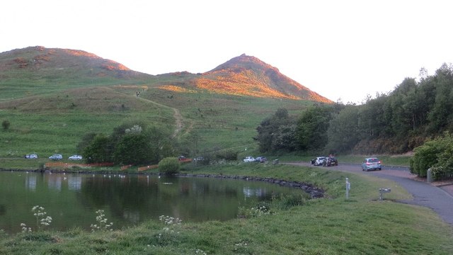
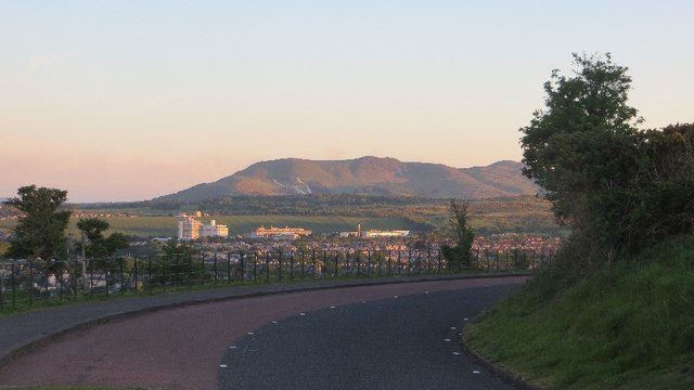
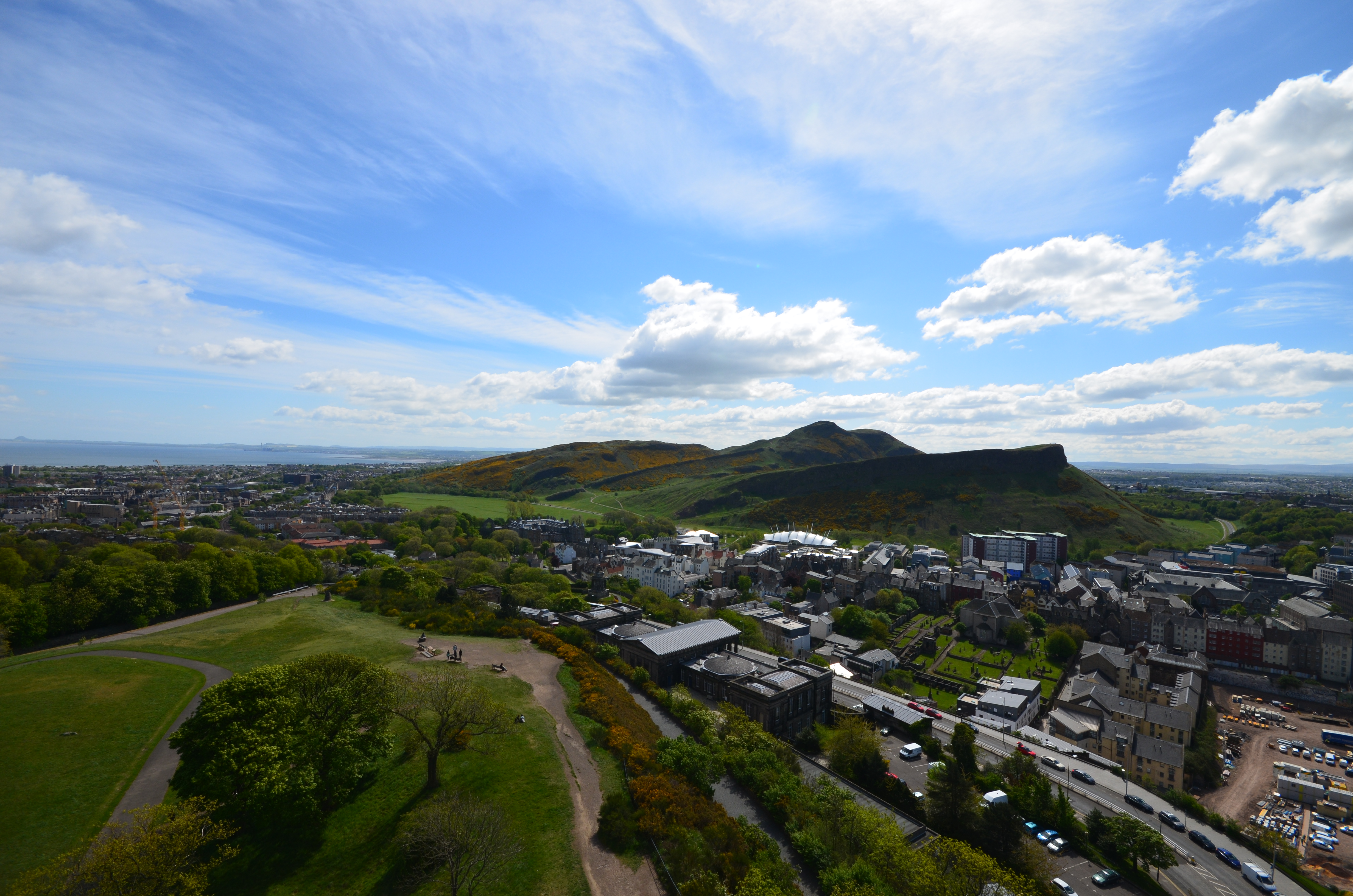
The Lion's Haunch is a prominent hill located in Midlothian, Scotland. Situated in the southern part of the county, it forms a part of the larger Pentland Hills range. Rising to an elevation of approximately 450 meters (1,476 feet), it offers stunning panoramic views of the surrounding landscape.
The hill derives its name from its distinctive shape, resembling the haunch or hind leg of a lion. This unique feature has become a popular landmark and a point of interest for locals and tourists alike. It is often referred to as "The Lion's Haunch" or simply "The Lion."
The Lion's Haunch is accessible via various walking trails that wind their way through the Pentland Hills. These trails provide an opportunity for outdoor enthusiasts to explore the natural beauty of the region while enjoying a challenging hike. Along the way, visitors can encounter diverse flora and fauna, including heather moorland, native woodland, and a variety of bird species.
At the summit of The Lion's Haunch, visitors are rewarded with breathtaking views of the surrounding Midlothian countryside, with rolling hills and valleys stretching as far as the eye can see. On a clear day, it is even possible to catch a glimpse of the city of Edinburgh in the distance.
Overall, The Lion's Haunch is a stunning natural feature that offers a unique and memorable experience for those who venture to its summit. Whether for a challenging hike or simply to enjoy the beauty of the Scottish countryside, this hill is a must-visit destination in Midlothian.
If you have any feedback on the listing, please let us know in the comments section below.
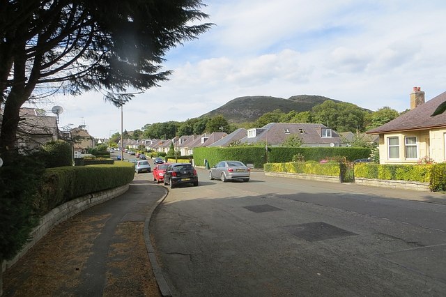
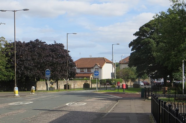
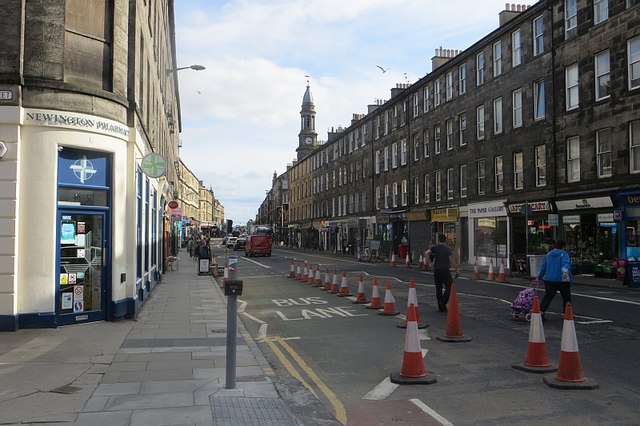
The Lion's Haunch Images
Images are sourced within 2km of 55.942515/-3.1620195 or Grid Reference NT2772. Thanks to Geograph Open Source API. All images are credited.


The Lion's Haunch is located at Grid Ref: NT2772 (Lat: 55.942515, Lng: -3.1620195)
Unitary Authority: City of Edinburgh
Police Authority: Edinburgh
Also known as: Nether Hill
What 3 Words
///mixer.bikes.jumped. Near Edinburgh
Nearby Locations
Related Wikis
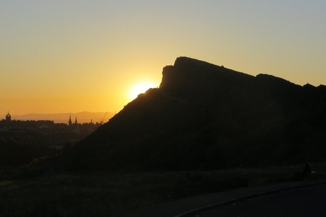
Arthur's Seat
Arthur's Seat (Scottish Gaelic: Suidhe Artair, pronounced [ˈs̪ɯi.əˈaɾt̪ʰəɾʲ]) is an ancient volcano which is the main peak of the group of hills in Edinburgh...
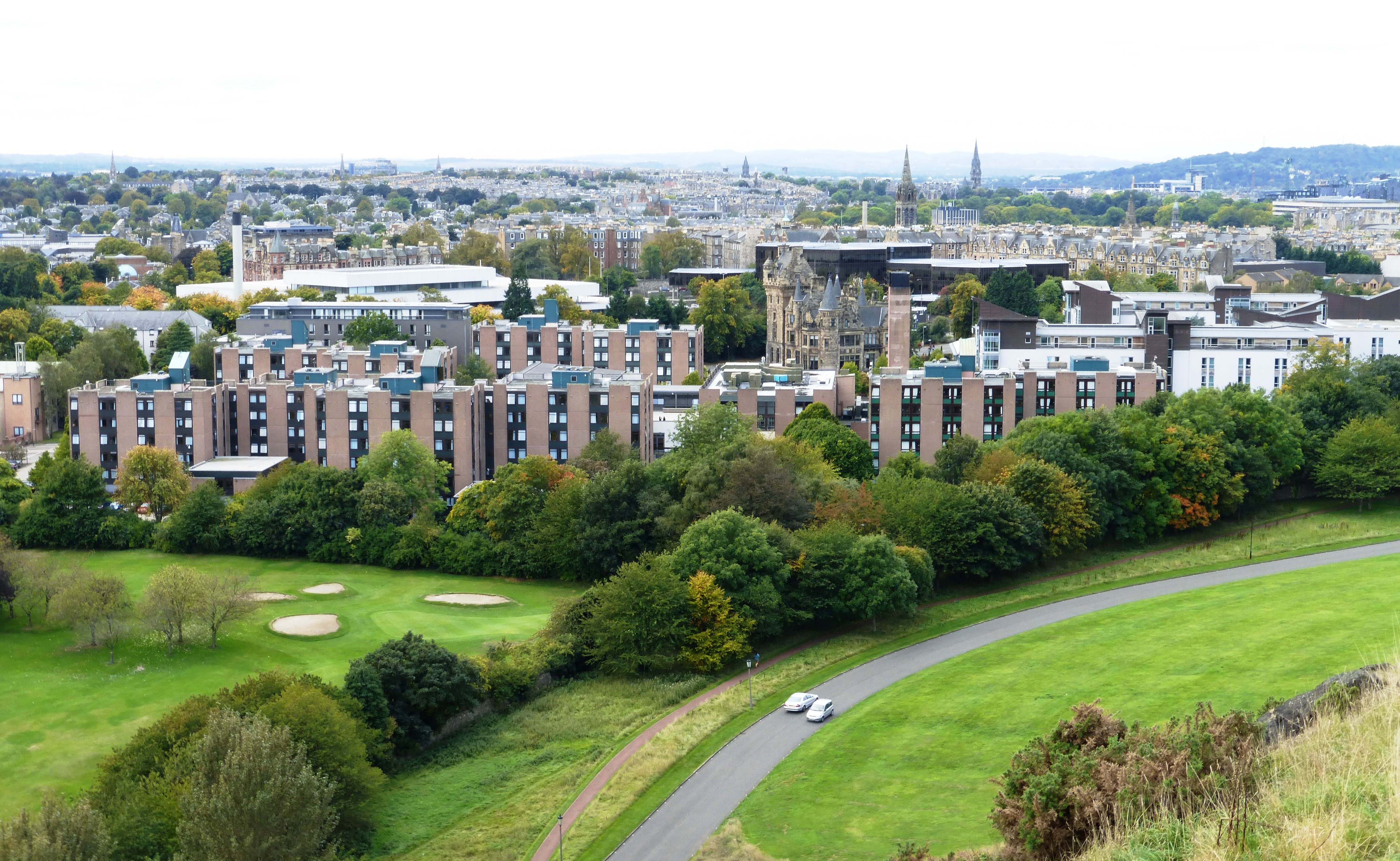
Pollock Halls of Residence
Pollock Halls of Residence is the largest halls of residence for the University of Edinburgh, located in St Leonard's, Edinburgh, Scotland, near the foot...
St Trinnean's School
St Trinnean's was a progressive girls' school in Edinburgh.It was founded in 1922 by its headmistress, Catherine Fraser Lee, who followed the Dalton Plan...
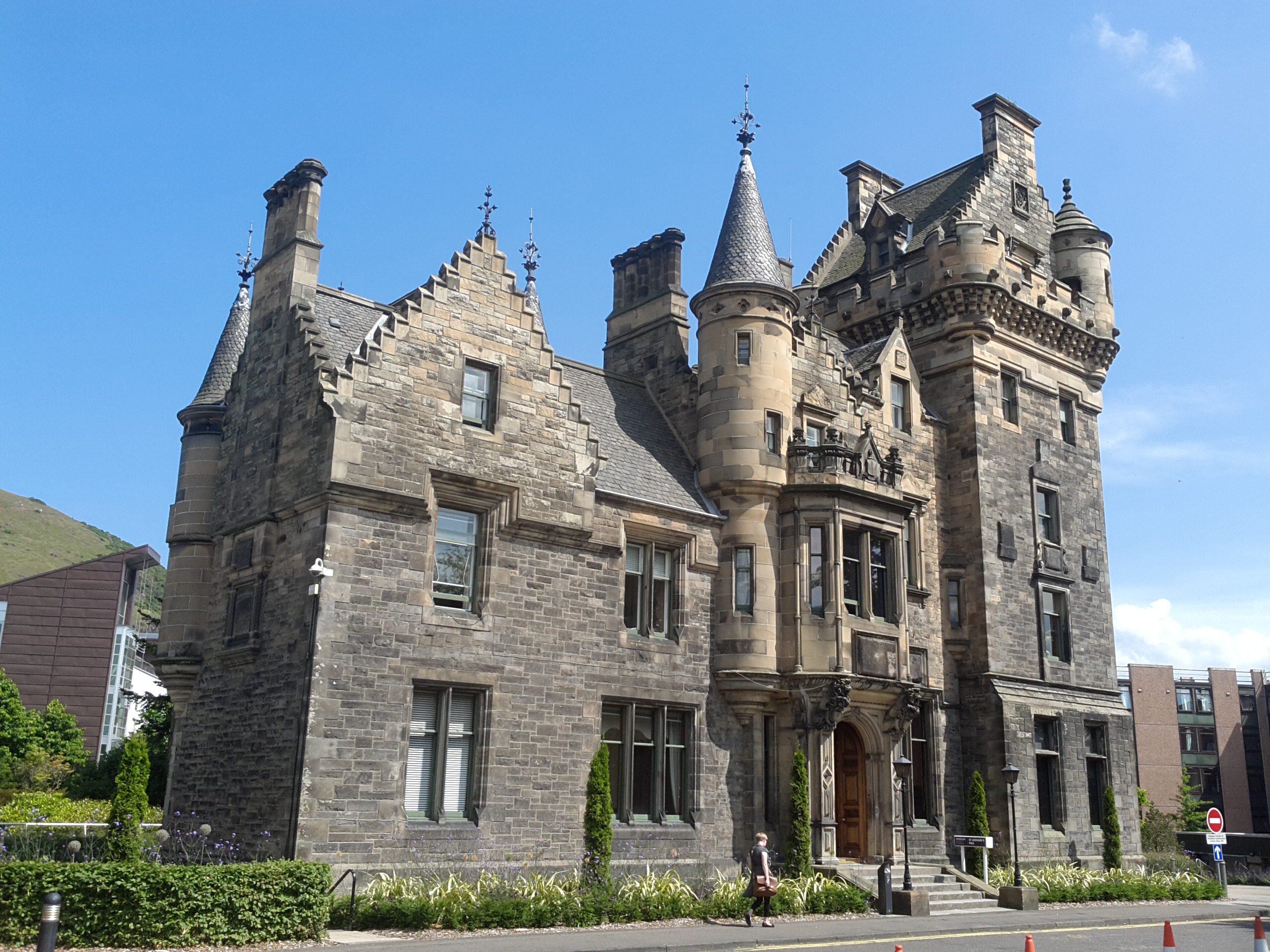
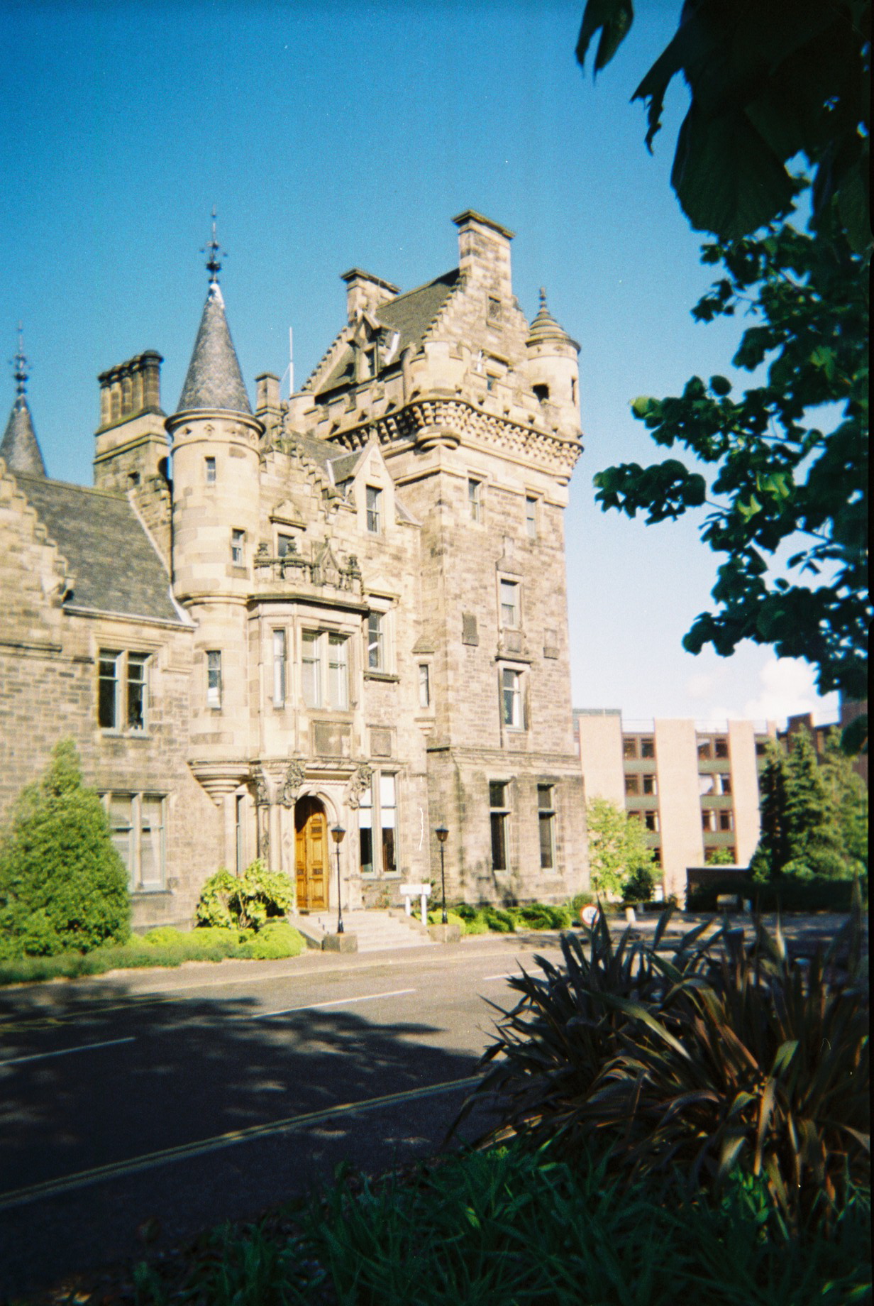
St Leonard's Hall
St Leonard's Hall is a mid-nineteenth century baronial style building within the Pollock Halls of Residence site of the University of Edinburgh.The hall...
Nearby Amenities
Located within 500m of 55.942515,-3.1620195Have you been to The Lion's Haunch?
Leave your review of The Lion's Haunch below (or comments, questions and feedback).