Knockandhu

Settlement in Banffshire

Scotland

Knockandhu

Speyside Way approaching from south-south-west The long distance path high on the slopes of Cairn Ellick having climbed from the direction of Tomintoul. The path turns sharply right, (NNW.) at the signpost and climbs further, almost to the hill's summit.
Speyside Way approaching from south-south-west Credit: Trevor Littlewood

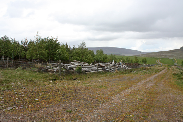
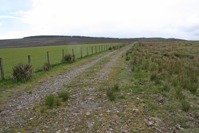
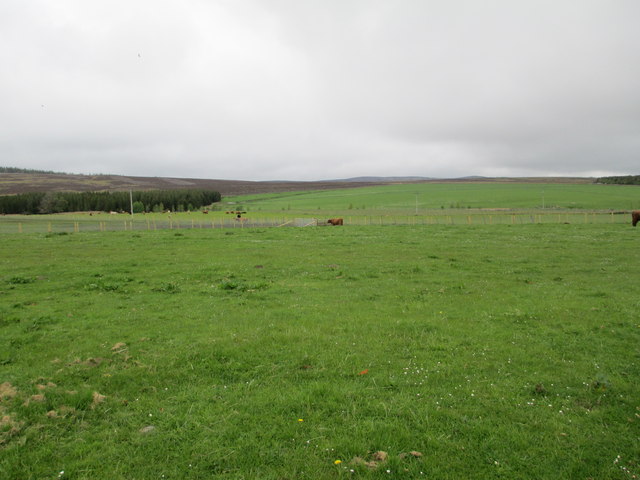
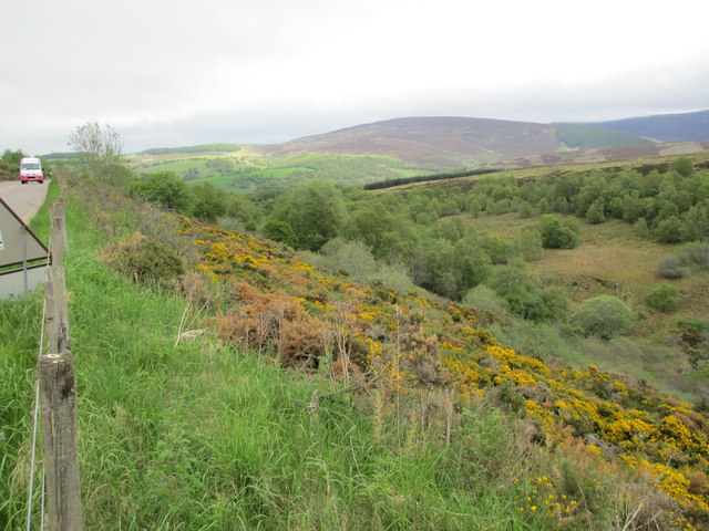
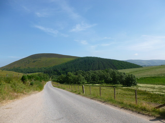
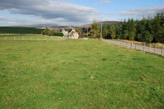
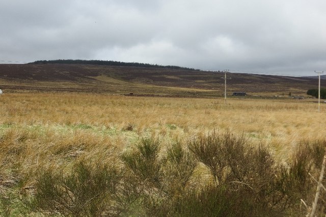
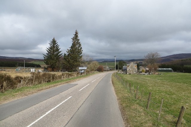
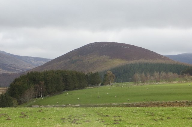
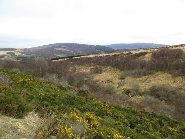
Knockandhu is a small village located in the region of Banffshire, Scotland. Situated on the banks of the River Deveron, this picturesque settlement is surrounded by lush green fields and rolling hills, offering stunning views of the Scottish countryside.

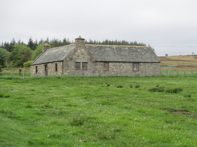
With a population of around 200 residents, Knockandhu is an intimate community known for its friendly and welcoming atmosphere. The village primarily consists of traditional stone-built houses, reflecting its rich historical background. It exudes a sense of tranquility and charm that attracts visitors from near and far.

Although small in size, Knockandhu boasts several amenities to cater to the needs of its residents. These include a village hall, a primary school, and a local pub, where locals gather to socialize and enjoy a pint. The village also has a post office and a small grocery store, ensuring that essential services are readily available.

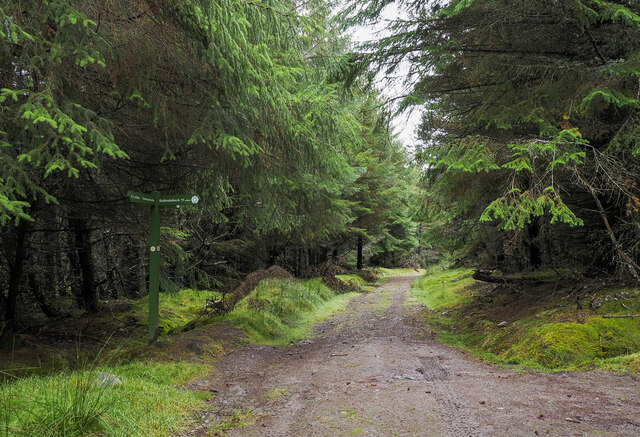
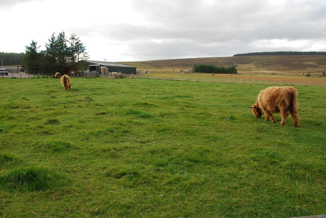
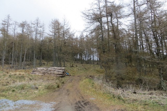
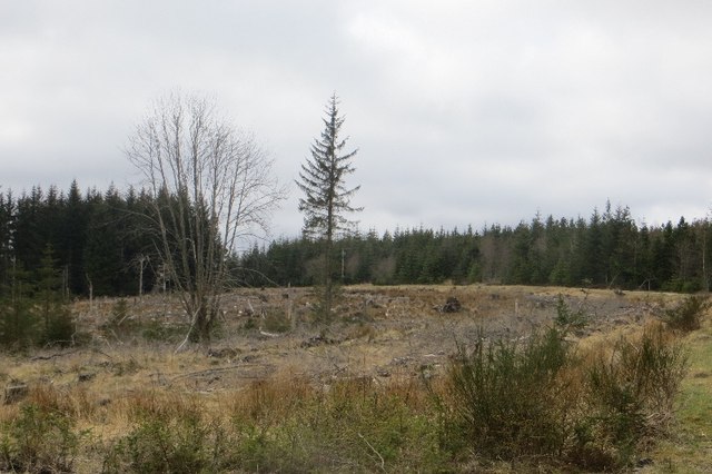
Nature lovers will find plenty to explore in the surrounding area. The River Deveron is renowned for its excellent salmon fishing, attracting anglers from across the country. Additionally, the nearby Knockandhu Forest offers walking trails and opportunities for birdwatching, allowing visitors to immerse themselves in the natural beauty of the Scottish Highlands.

Overall, Knockandhu is a tranquil and close-knit village that provides a peaceful retreat from the bustling city life. Its scenic surroundings and warm community spirit make it an attractive destination for those seeking a taste of authentic Scottish countryside living.

If you have any feedback on the listing, please let us know in the comments section below.

Knockandhu Images

Images are sourced within 2km of 57.290751/-3.3123472 or Grid Reference NJ2123. Thanks to Geograph Open Source API. All images are credited.

Speyside Way approaching from south-south-west The long distance path high on the slopes of Cairn Ellick having climbed from the direction of Tomintoul. The path turns sharply right, (NNW.) at the signpost and climbs further, almost to the hill's summit.
Speyside Way approaching from south-south-west
The long distance path high on the slopes of Cairn Ellick having climbed from the direction of Tomintoul. The path turns sharply right, (NNW.) at the signpost and climbs further, almost to the hill's summit.
Corner of plantation, Knockandhu A young Scots pine plantation with some rowan and birch planted along the southern end.
Corner of plantation, Knockandhu
A young Scots pine plantation with some rowan and birch planted along the southern end.
Track near Knockandhu Passing grazing fields at Muir of Croftbain.
Track near Knockandhu
Passing grazing fields at Muir of Croftbain.
Forest track off the B9008
A dwelling at Auchnarrow
Heatherhills Fold, Glenlivet Their speciality is Highland cattle.
Heatherhills Fold, Glenlivet
Their speciality is Highland cattle.
Looking towards Croftbain From the B9008.
Looking towards Croftbain
From the B9008.
The Bochel and the Glenlivet road The Bochel is the rounded hill in this view.  Its name probably derives from the Gaelic word Buachaille, meaning shepherd or herdsman.
The Bochel and the Glenlivet road
The Bochel is the rounded hill in this view. Its name probably derives from the Gaelic word Buachaille, meaning shepherd or herdsman.
Upland Pasture Just outside of Knockando on the B9008.
Upland Pasture
Just outside of Knockando on the B9008.
Highland cows and farm This Farm and cows is on the edge of Knockando. A very peaceful scene.
Highland cows and farm
This Farm and cows is on the edge of Knockando. A very peaceful scene.
Highland cow This one seemed friendly enough behind a fence! It even came over for a stroke.
Highland cow
This one seemed friendly enough behind a fence! It even came over for a stroke.
Heatherhills Fold Most of this area is part of the Glenlivet Estate, here in the field to my left they rear Highland Cows. The road is the B9008 just outside of Knockando.
Heatherhills Fold
Most of this area is part of the Glenlivet Estate, here in the field to my left they rear Highland Cows. The road is the B9008 just outside of Knockando.
Woodland, Knockandhu A small conifer plantation.
Woodland, Knockandhu
A small conifer plantation.
Rough grazing, Auchnarrow
Auchnarrow Entering the long settlement of Auchnarrow and Knockandhu on the B9008.
Auchnarrow
Entering the long settlement of Auchnarrow and Knockandhu on the B9008.
Auchnarrow Farmland in Glen Livet with a view of The Bochel.
Auchnarrow
Farmland in Glen Livet with a view of The Bochel.
Woodland, Auchnarrow Part of a large conifer plantation.
Woodland, Auchnarrow
Part of a large conifer plantation.
Carttach Burn A scrubby defile below the B9008.
Carttach Burn
A scrubby defile below the B9008.
Show me another place!

Knockandhu is located at Grid Ref: NJ2123 (Lat: 57.290751, Lng: -3.3123472)

Unitary Authority: Moray

Police Authority: North East

What 3 Words

///homework.glassware.curl. Near Grantown-on-Spey, Highland

Nearby Locations

Knockandhu Auchnarrow

Related Wikis

Auchnarrow

Auchnarrow (Scottish Gaelic: Achadh an Arbha) is a village in Moray, Scotland.

County of Moray

Moray; (Scottish Gaelic: Moireibh [ˈmɤɾʲəv]) or Morayshire, called Elginshire until 1919, is a historic county, registration county and lieutenancy area...
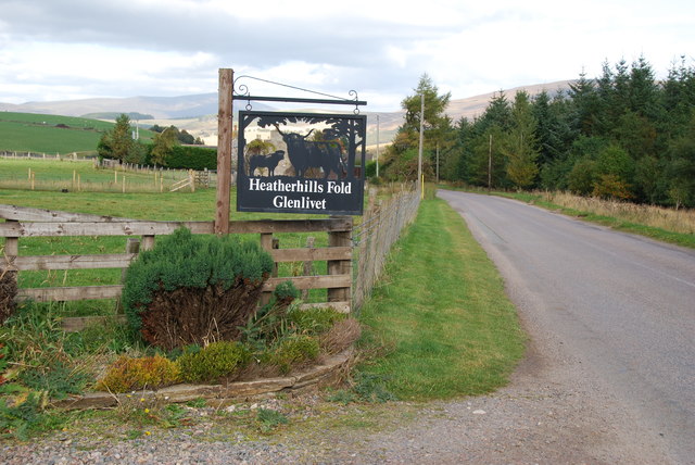
Glenlivet Estate

The Glenlivet Estate is located in Glenlivet, Scotland in the Cairngorms National Park. It measures 58,000 acres (230 km2) and is part of The Crown Estate...

Clashnoir

Clashnoir is a settlement in Glenlivet, Moray, Scotland, 92 miles north of Edinburgh and 25 miles south of Elgin.

Nearby Amenities

Located within 500m of 57.290751,-3.3123472
Power: pole
Lat/Long: 57.2875215/-3.316856
Power: pole
Lat/Long: 57.2881901/-3.3164156
Power: pole
Lat/Long: 57.2888809/-3.3159608
Power: pole
Lat/Long: 57.2896307/-3.3154559
Power: pole
Lat/Long: 57.2902567/-3.3149869
Power: pole
Lat/Long: 57.2910568/-3.314593
Power: pole
Lat/Long: 57.2917204/-3.3142886
Power: pole
Lat/Long: 57.2923531/-3.3139664
Power: pole
Lat/Long: 57.2933544/-3.313474
Power: pole
Lat/Long: 57.2941061/-3.3131052
Power: pole
Lat/Long: 57.2947291/-3.312808
Power: pole
Lat/Long: 57.2914863/-3.3042017
Power: pole
Lat/Long: 57.2915115/-3.3053673
Power: pole
Lat/Long: 57.2915289/-3.3065059
Power: pole
Lat/Long: 57.291556/-3.3073904
Power: pole
Lat/Long: 57.2915792/-3.3084324
Power: pole
Lat/Long: 57.291614/-3.3099184
Power: pole
Lat/Long: 57.2916382/-3.3110928
Power: pole
Lat/Long: 57.2916634/-3.3119468
Power: pole
Lat/Long: 57.2916866/-3.3129691
Power: pole
Lat/Long: 57.291705/-3.3138572
Post Box
Brand: Royal Mail
Brand Wikidata: Q638098
Check Date: 2021-09-15
Collection Times: Mo-Fr 12:15; Sa 12:00; Su off
Manufacturer: Machan
Operator: Royal Mail
Operator Wikidata: Q638098
Post Box Type: lamp
Ref: AB37 167
Royal Cypher: scottish_crown
Source: survey
Lat/Long: 57.2936427/-3.3113942
Shelter
Shelter Type: public_transport
Lat/Long: 57.2936981/-3.311361
The data included in this document is from www.openstreetmap.org. The data is made available under ODbL.

Have you been to Knockandhu?

Leave your review of Knockandhu below (or comments, questions and feedback).