Meall an t-Sagairt
Hill, Mountain in Inverness-shire
Scotland
Meall an t-Sagairt

The requested URL returned error: 429 Too Many Requests
If you have any feedback on the listing, please let us know in the comments section below.
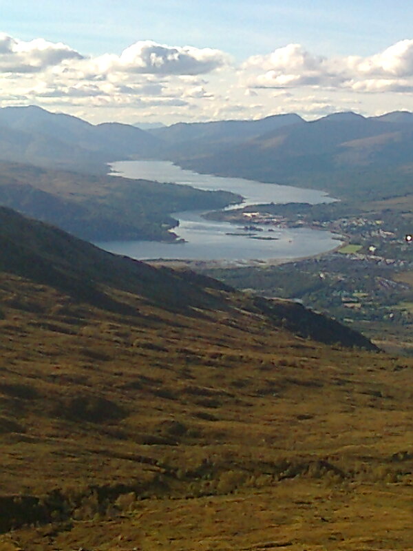
Meall an t-Sagairt Images
Images are sourced within 2km of 57.002239/-4.9741349 or Grid Reference NN1994. Thanks to Geograph Open Source API. All images are credited.


Meall an t-Sagairt is located at Grid Ref: NN1994 (Lat: 57.002239, Lng: -4.9741349)
Unitary Authority: Highland
Police Authority: Highlands and Islands
Also known as: Meall an Tagraidh
What 3 Words
///mission.album.initiates. Near Gairlochy, Highland
Nearby Locations
Related Wikis

Meall na h-Eilde
Meall na h-Eilde is a Scottish hill situated in the high ground between the Great Glen and Glen Garry, 23 km north of Fort William in the Highland Council...
Lochaber
Lochaber ( lokh-AH-bər; Scottish Gaelic: Loch Abar) is a name applied to a part of the Scottish Highlands. Historically, it was a provincial lordship consisting...

Battle of Lochaber
The Battle of Lochaber was a battle fought in 1429, in the Scottish Highlands, between the forces of Alexander of Islay, Earl of Ross, Lord of the Isles...

Sròn a' Choire Ghairbh
Sròn a’ Choire Ghairbh is a Scottish mountain situated on the northern side of Loch Lochy, 13 kilometres north of Spean Bridge in the Highland Council...
Nearby Amenities
Located within 500m of 57.002239,-4.9741349Have you been to Meall an t-Sagairt?
Leave your review of Meall an t-Sagairt below (or comments, questions and feedback).