Blease Fell

Hill, Mountain in Cumberland Eden

England

Blease Fell

Lake District under snow Seen from Hartside Pass looking across the Vale of Eden, Blencathra (to the left) and Skiddaw.
Lake District under snow Credit: Oliver Dixon

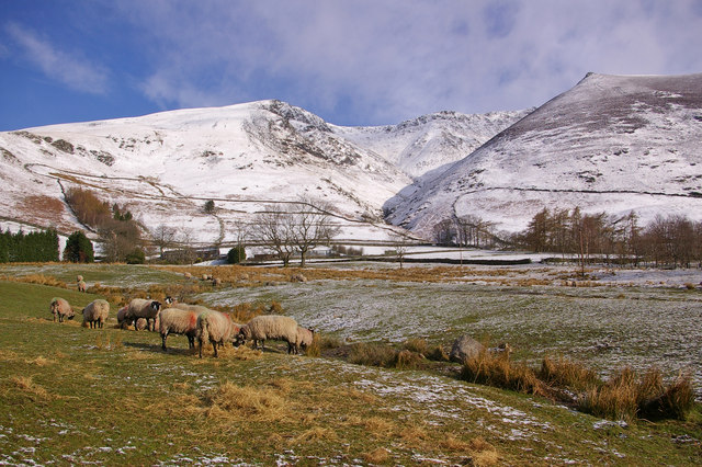
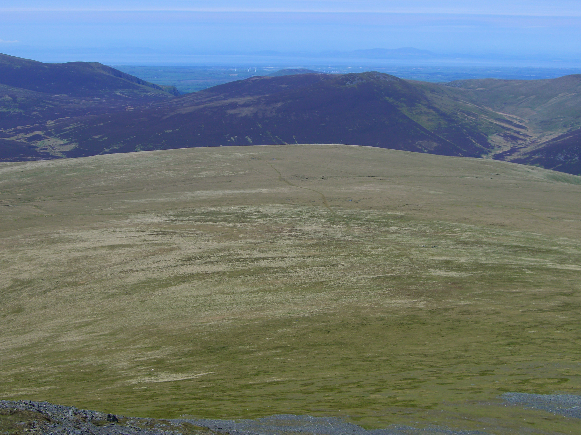
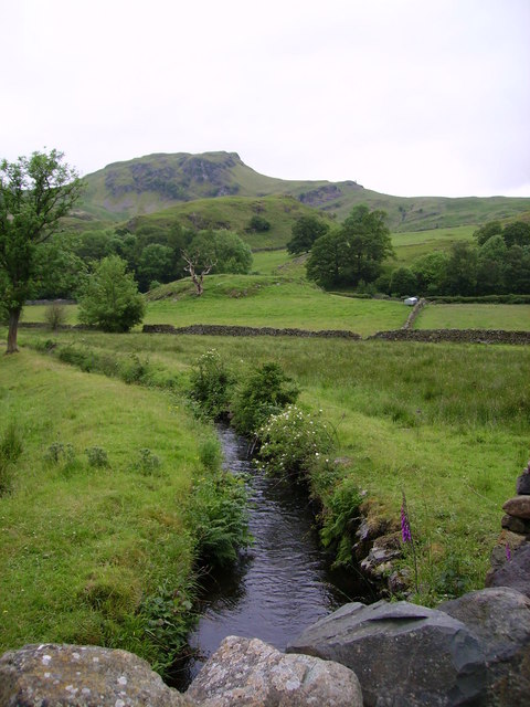
Blease Fell is a prominent hill located in the county of Cumberland in northwestern England. It belongs to the Lake District National Park, renowned for its stunning natural beauty and picturesque landscapes. Standing at an elevation of approximately 449 meters (1,473 feet), Blease Fell offers breathtaking panoramic views of the surrounding area.

The hill is situated near the town of Keswick, in close proximity to the popular tourist destination of Derwent Water. It is a popular spot for hikers and outdoor enthusiasts, attracting visitors who are looking to explore the diverse terrain of the Lake District.

Blease Fell is characterized by its gentle slopes and grassy meadows, making it relatively accessible for walkers of varying abilities. The hill is often included in various walking routes and trails, including the famous Cumbria Way. Its strategic location provides visitors with the opportunity to admire the beautiful landscapes of the Lake District, including nearby mountains such as Skiddaw and Blencathra.

Aside from its natural beauty, Blease Fell is also known for its rich history and cultural significance. The hill is dotted with ancient stone walls and ruins, serving as a testament to the region's historical heritage. Exploring Blease Fell allows visitors to immerse themselves in the captivating history of the area while enjoying the tranquility and serenity of the Lake District.

If you have any feedback on the listing, please let us know in the comments section below.
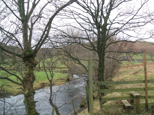
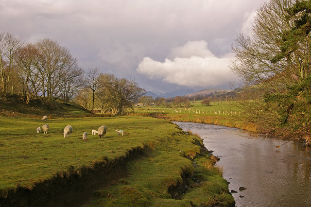
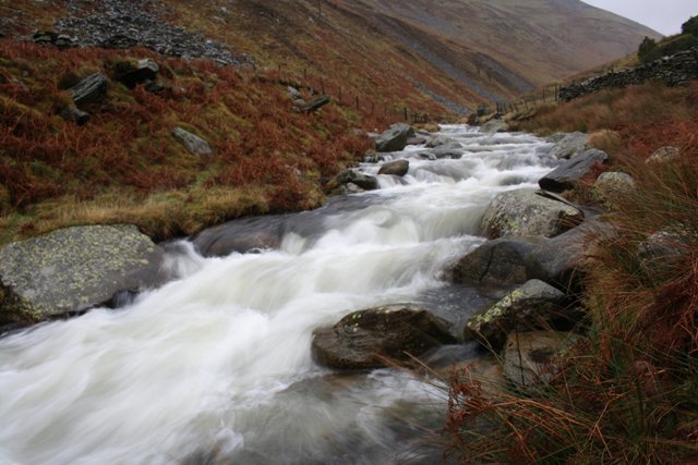
Blease Fell Images

Images are sourced within 2km of 54.63363/-3.0674375 or Grid Reference NY3127. Thanks to Geograph Open Source API. All images are credited.

Lake District under snow Seen from Hartside Pass looking across the Vale of Eden, Blencathra (to the left) and Skiddaw.
Lake District under snow
Seen from Hartside Pass looking across the Vale of Eden, Blencathra (to the left) and Skiddaw.
Concrete Ring Trigonometrical Station Detail of the Ordnance Survey trigonometrical station on the summit of Blencathra, marked by a concrete ring.  Named by the Ordnance Survey as Saddleback using the Victorian name for the fell popular until the 1960s, the 2” brass bolt in the centre of the ring set into a concrete block and marking the precise coordinates of the station is covered by debris. The trigonometrical station marks a point 867.460m above sea level (Ordnance Datum Newlyn) last levelled in 1953 (location photograph <a href="https://www.geograph.org.uk/photo/7236793">NY3227 : Summit of Blencathra</a>).
The concrete ring was removed by vandals in 2018 and was replaced by a new ring in 2019.
Concrete Ring Trigonometrical Station
Detail of the Ordnance Survey trigonometrical station on the summit of Blencathra, marked by a concrete ring. Named by the Ordnance Survey as Saddleback using the Victorian name for the fell popular until the 1960s, the 2” brass bolt in the centre of the ring set into a concrete block and marking the precise coordinates of the station is covered by debris. The trigonometrical station marks a point 867.460m above sea level (Ordnance Datum Newlyn) last levelled in 1953 (location photograph NY3227 : Summit of Blencathra). The concrete ring was removed by vandals in 2018 and was replaced by a new ring in 2019.
Summit of Blencathra At the top of the Hall's Fell Ridge, the summit of Blencathra is adorned by an Ordnance Survey trigonometrical station marked by a concrete ring.  Named by the Ordnance Survey as Saddleback, the Victorian name for the fell, the trigonometrical station marks a point 867.460m above sea level (Ordnance Datum Newlyn) last levelled in 1953 (detail photograph <a href="https://www.geograph.org.uk/photo/7236629">NY3227 : Concrete Ring Trigonometrical Station</a>).
Summit of Blencathra
At the top of the Hall's Fell Ridge, the summit of Blencathra is adorned by an Ordnance Survey trigonometrical station marked by a concrete ring. Named by the Ordnance Survey as Saddleback, the Victorian name for the fell, the trigonometrical station marks a point 867.460m above sea level (Ordnance Datum Newlyn) last levelled in 1953 (detail photograph NY3227 : Concrete Ring Trigonometrical Station).
Threlkeld
Threlkeld
Church of St Mary The current Church dates from 1776, although the bell tower is older and there is evidence of Christian worship on the site from the pre-Norman era commonly called the “Dark Ages”. Much of the Church interior was refurbished in 1911 while the stunning east window dates from the 1950s and was donated by Captain Aspall Olsen in memory of his wife.
In 1998, the parish of St Mary’s was combined with St John’s in the Vale and Wythburn to form a joint benefice.
While there is currently no published Guide Book, the history of St Mary’s can be found on the Church web site at: <span class="nowrap"><a title="http://www.threlkeldchurch.org.uk/" rel="nofollow ugc noopener" href="http://www.threlkeldchurch.org.uk/">Link</a><img style="margin-left:2px;" alt="External link" title="External link - shift click to open in new window" src="https://s1.geograph.org.uk/img/external.png" width="10" height="10"/></span> Visitor donations are welcome.
Church of St Mary
The current Church dates from 1776, although the bell tower is older and there is evidence of Christian worship on the site from the pre-Norman era commonly called the “Dark Ages”. Much of the Church interior was refurbished in 1911 while the stunning east window dates from the 1950s and was donated by Captain Aspall Olsen in memory of his wife. In 1998, the parish of St Mary’s was combined with St John’s in the Vale and Wythburn to form a joint benefice. While there is currently no published Guide Book, the history of St Mary’s can be found on the Church web site at: LinkExternal link Visitor donations are welcome.
Field, Threlkeld
Field, Threlkeld
Station Rd
Station Rd
Blease Rd
Blease Rd
Fell Side
Fell Side
Rough pasture
Rough pasture
Looking back down Scales Fell
St Mary's Church, Threlkeld, Cumbria (1) View from the main road.
St Mary's Church, Threlkeld, Cumbria (1)
View from the main road.
St Mary's Church, Threlkeld, Cumbria (2) View looking west - the bell tower is older than the present Church building and possibly dates from the casting of the bells circa 15th Century.
St Mary's Church, Threlkeld, Cumbria (2)
View looking west - the bell tower is older than the present Church building and possibly dates from the casting of the bells circa 15th Century.
St Mary's Church, Threlkeld, Cumbria (3) Notice at the entrance.
St Mary's Church, Threlkeld, Cumbria (3)
Notice at the entrance.
St Mary's Church, Threlkeld, Cumbria (4) The east window - donated to the Church in the 1950s by Captain Apall Olsen in memory of his wife.
St Mary's Church, Threlkeld, Cumbria (4)
The east window - donated to the Church in the 1950s by Captain Apall Olsen in memory of his wife.
St Mary's Church, Threlkeld, Cumbria (5) Memorial to the men of Threlkeld lost in World War 1.
St Mary's Church, Threlkeld, Cumbria (5)
Memorial to the men of Threlkeld lost in World War 1.
St Mary's Church, Threlkeld, Cumbria (6) Memorial to the men of Threlkeld lost in World War II.
St Mary's Church, Threlkeld, Cumbria (6)
Memorial to the men of Threlkeld lost in World War II.
St Mary's Church, Threlkeld, Cumbria (7) The Ten Commandments - No's 1-4. One of three oak boards found during the 1911 restoration, restored and fixed to the west wall.
St Mary's Church, Threlkeld, Cumbria (7)
The Ten Commandments - No's 1-4. One of three oak boards found during the 1911 restoration, restored and fixed to the west wall.
Show me another place!

Blease Fell is located at Grid Ref: NY3127 (Lat: 54.63363, Lng: -3.0674375)

Administrative County: Cumbria

District: Eden

Police Authority: Cumbria

Also known as: Knowe Crags

What 3 Words

///frizz.justifies.blackouts. Near Keswick, Cumbria

Related Wikis

Nearby Amenities

Located within 500m of 54.63363,-3.0674375
Blease Fell
Ele: 804.5
Natural: peak
Source: NPE
Wikidata: Q4925984
Wikipedia: en:Blencathra
Lat/Long: 54.6335784/-3.0675563
Blease Gill
Abandoned: yes
Historic: mine
Man Made: mine
Mineral: lead
Lat/Long: 54.6308624/-3.0632397
The data included in this document is from www.openstreetmap.org. The data is made available under ODbL.

Have you been to Blease Fell?

Leave your review of Blease Fell below (or comments, questions and feedback).