Westernhope Moor
Hill, Mountain in Durham
England
Westernhope Moor
The requested URL returned error: 429 Too Many Requests
If you have any feedback on the listing, please let us know in the comments section below.
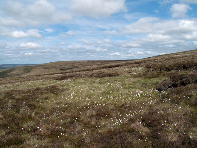
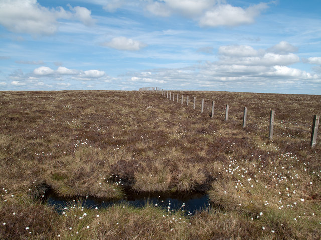
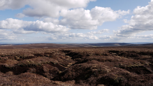
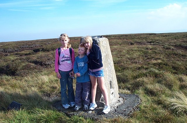
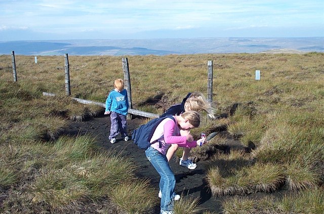
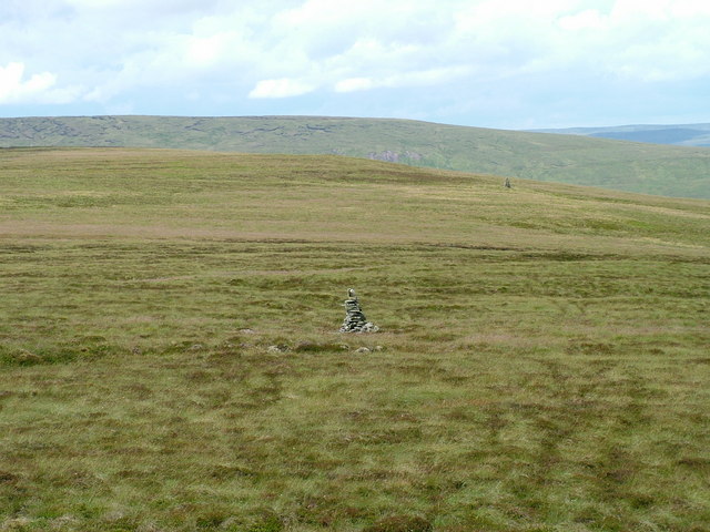
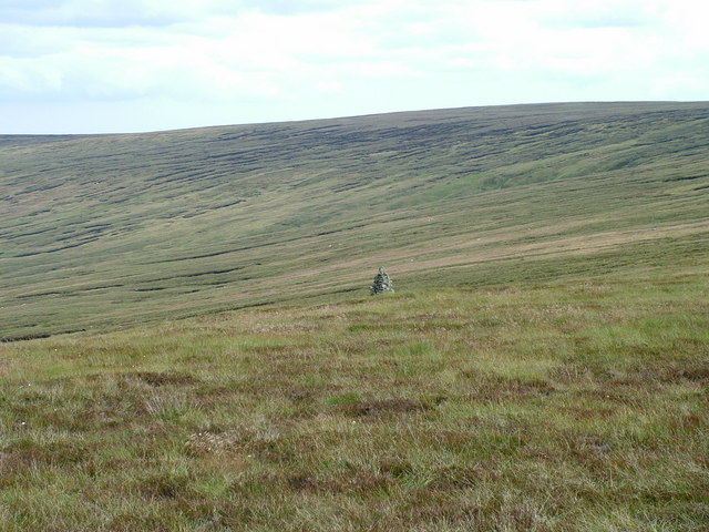
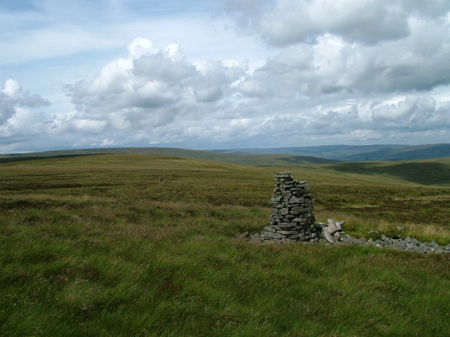
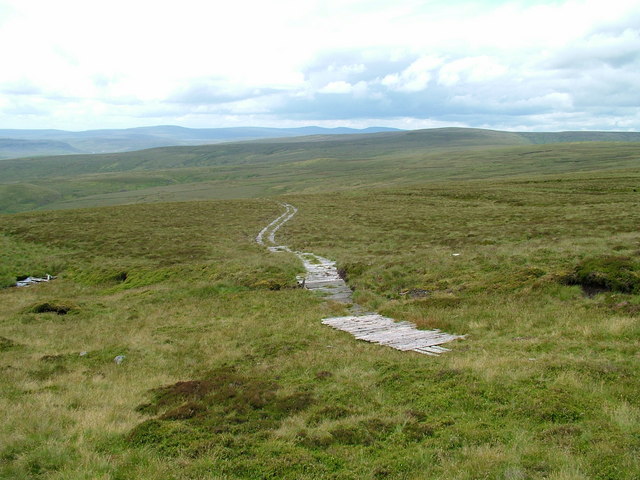
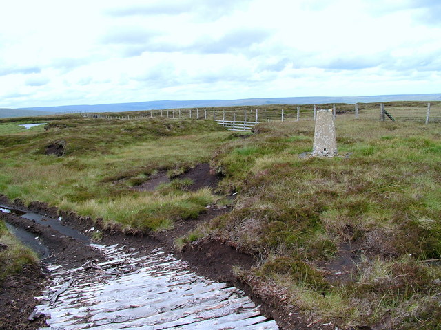
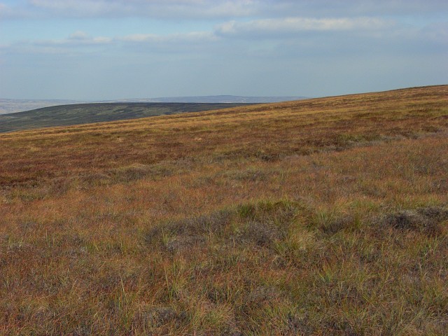
Westernhope Moor Images
Images are sourced within 2km of 54.688044/-2.1208848 or Grid Reference NY9232. Thanks to Geograph Open Source API. All images are credited.


Westernhope Moor is located at Grid Ref: NY9232 (Lat: 54.688044, Lng: -2.1208848)
Unitary Authority: County Durham
Police Authority: Durham
Also known as: James's Hill
What 3 Words
///include.pelted.conquests. Near Newbiggin, Co. Durham
Nearby Locations
Related Wikis

Fairy Holes Cave
Fairy Holes Cave is a Site of Special Scientific Interest in the Wear Valley district of west County Durham, England. It is located on the western flanks...
Teesdale Allotments
Teesdale Allotments is a Site of Special Scientific Interest in the Teesdale district of County Durham, England. It consists of two large upland areas...

Bowlees
Bowlees is a small village in County Durham, England. It is situated near Newbiggin, on the other side of Teesdale from Holwick. The visitor centre in...
Westernhope Burn Wood
Westernhope Burn Wood is a Site of Special Scientific Interest in the Wear Valley district of south-west County Durham, England. It occupies the steeply...
Nearby Amenities
Located within 500m of 54.688044,-2.1208848Have you been to Westernhope Moor?
Leave your review of Westernhope Moor below (or comments, questions and feedback).