Aughertree Fell
Hill, Mountain in Cumberland Allerdale
England
Aughertree Fell

Aughertree Fell is a prominent hill located in the county of Cumberland, in the northwestern region of England. Rising to an elevation of 345 meters (1,132 feet), it is considered a significant landmark in the area. Situated near the village of Dalston, Aughertree Fell is part of the wider landscape of the Lake District National Park.
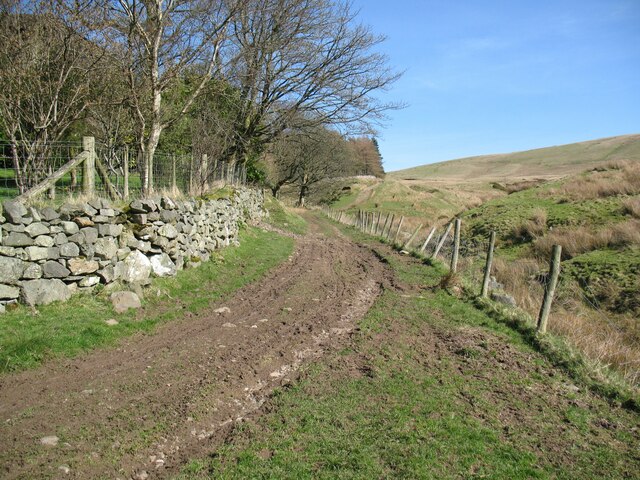
The hill is characterized by its distinctive shape and rugged terrain, making it a popular destination for hikers and outdoor enthusiasts. Its summit offers breathtaking panoramic views of the surrounding countryside, including the nearby Caldbeck Fells and the Solway Firth in the distance.
Aughertree Fell is covered in a mix of heather, grasses, and scattered patches of woodland, providing habitats for a variety of flora and fauna. The hill's slopes are home to an array of bird species, including skylarks and meadow pipits, while its woodlands support populations of roe deer and red squirrels.
The fell is also of historical interest, with evidence of prehistoric settlements in the form of stone circles and cairns found in its vicinity. Additionally, Aughertree Fell played a role in the lead mining industry during the 19th century, with remnants of mine workings still visible today.
Overall, Aughertree Fell stands as a natural and cultural landmark in Cumberland, offering visitors a chance to immerse themselves in the beauty and history of the region.
If you have any feedback on the listing, please let us know in the comments section below.
Aughertree Fell Images
Images are sourced within 2km of 54.72693/-3.1532583 or Grid Reference NY2537. Thanks to Geograph Open Source API. All images are credited.


Aughertree Fell is located at Grid Ref: NY2537 (Lat: 54.72693, Lng: -3.1532583)
Administrative County: Cumbria
District: Allerdale
Police Authority: Cumbria
Also known as: Green How
What 3 Words
///strictest.smile.madness. Near Wigton, Cumbria
Nearby Locations
Related Wikis

Aughertree
Aughertree ( AF-ər-tree) is a village in northern Cumbria, England. It is situated near to the villages of Caldbeck and Torpenhow, but closer to the main...
Uldale
Uldale is a small village and former civil parish in the Cumberland district, in the ceremonial county of Cumbria, England. It is about 5 miles (8 km)...

Ireby and Uldale
Ireby and Uldale is a civil parish in the English county of Cumbria forming part of the district of Allerdale. The population, including Bewaldeth and...

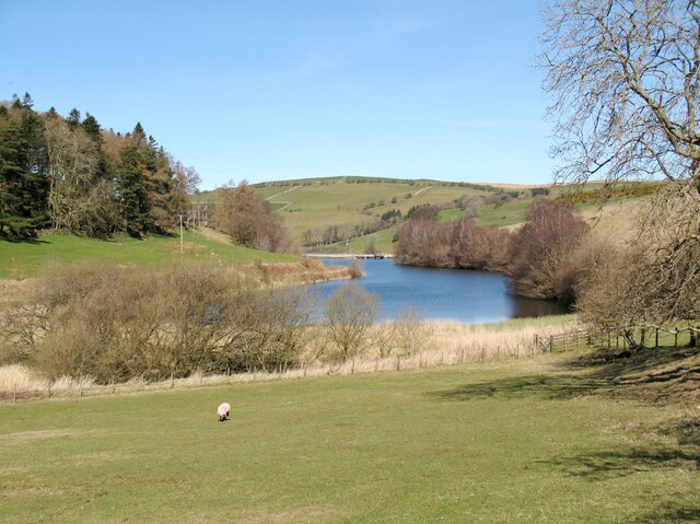
Chapelhouse Reservoir
Chapelhouse Reservoir is a water reservoir near Uldale in Cumbria, England. == History == The reservoir, which is around 435 metres (1,427 ft) long, was...
Nearby Amenities
Located within 500m of 54.72693,-3.1532583Have you been to Aughertree Fell?
Leave your review of Aughertree Fell below (or comments, questions and feedback).