Bryngwyn
Hill, Mountain in Montgomeryshire
Wales
Bryngwyn

Bryngwyn is a small hill located in Montgomeryshire, Wales. It is situated in the picturesque countryside, offering stunning views of the surrounding landscape. The hill is a popular destination for hikers and nature enthusiasts, as it provides a challenging yet rewarding climb to the summit.
Bryngwyn is characterized by its rugged terrain, with rocky outcrops and steep slopes. The hill is covered in lush green vegetation, including grasses, heather, and wildflowers. Wildlife such as sheep, birds, and small mammals can often be spotted in the area.
At the top of Bryngwyn, visitors are treated to panoramic views of the rolling hills and valleys of Montgomeryshire. On a clear day, it is possible to see for miles around, making it a perfect spot for taking in the natural beauty of the Welsh countryside.
Overall, Bryngwyn is a tranquil and scenic location that offers a peaceful escape from the hustle and bustle of everyday life. Whether you are looking for a challenging hike or simply want to enjoy the beauty of nature, Bryngwyn is a must-visit destination in Montgomeryshire.
If you have any feedback on the listing, please let us know in the comments section below.
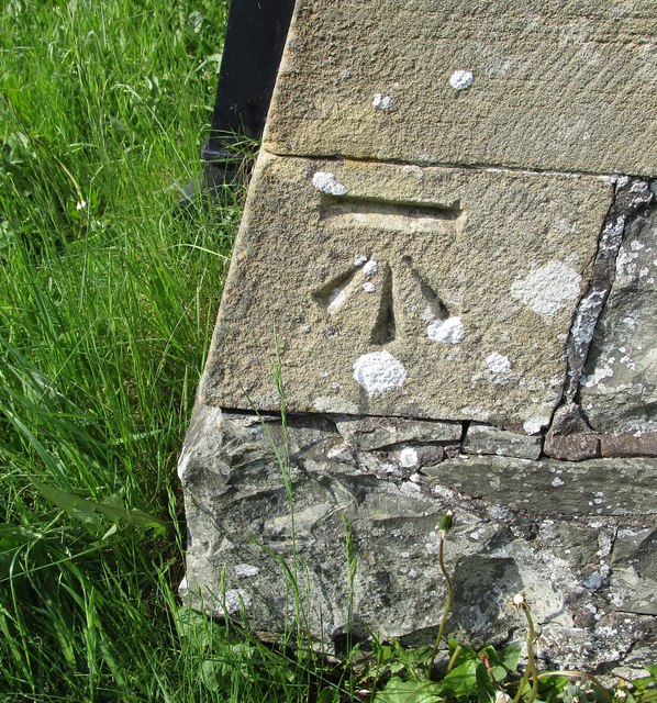
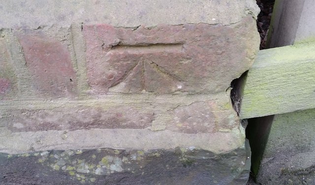
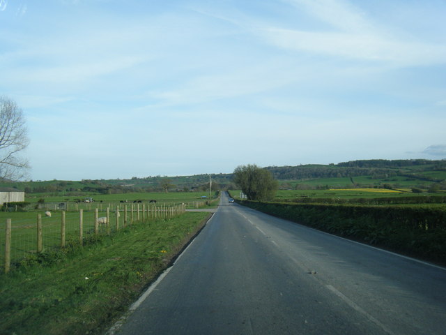
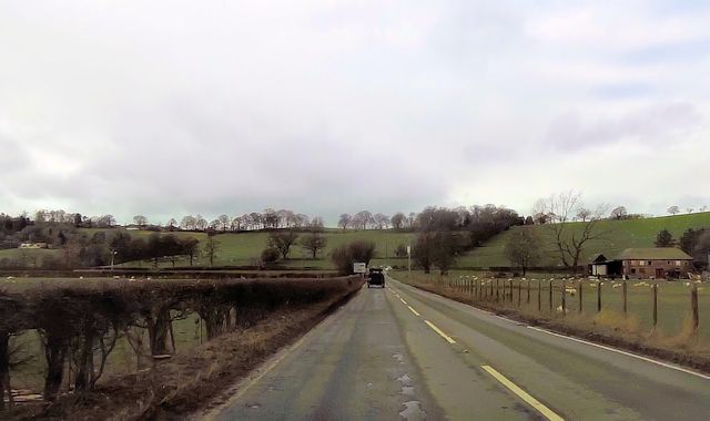
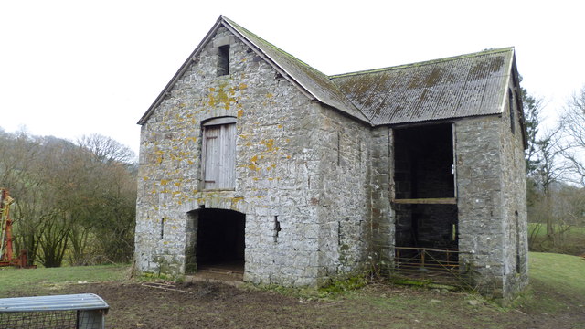
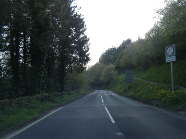
Bryngwyn Images
Images are sourced within 2km of 52.754185/-3.206701 or Grid Reference SJ1818. Thanks to Geograph Open Source API. All images are credited.


Bryngwyn is located at Grid Ref: SJ1818 (Lat: 52.754185, Lng: -3.206701)
Unitary Authority: Powys
Police Authority: Dyfed Powys
Also known as: Glan-Frogan Hill
What 3 Words
///charmingly.jumbo.carver. Near Llanfechain, Powys
Nearby Locations
Related Wikis

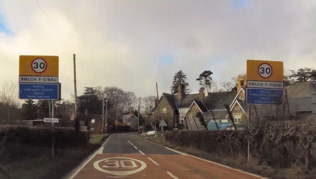
Bwlch-y-cibau
Bwlch-y-Cibau also known as the "pass of the husks" in English, is a small village located between Llanfyllin and Welshpool. It is situated on the A490...

Bryngwyn Halt railway station
Bryngwyn Halt railway station is a disused station that was on the Llanfyllin Branch of the Cambrian Railways. It served the villages of Bwlch-y-cibau...

Llanfechain
Llanfechain is a village and community in Powys, Wales, on the B4393 road between Llanfyllin and Llansantffraid-ym-Mechain. Historically it belonged to...
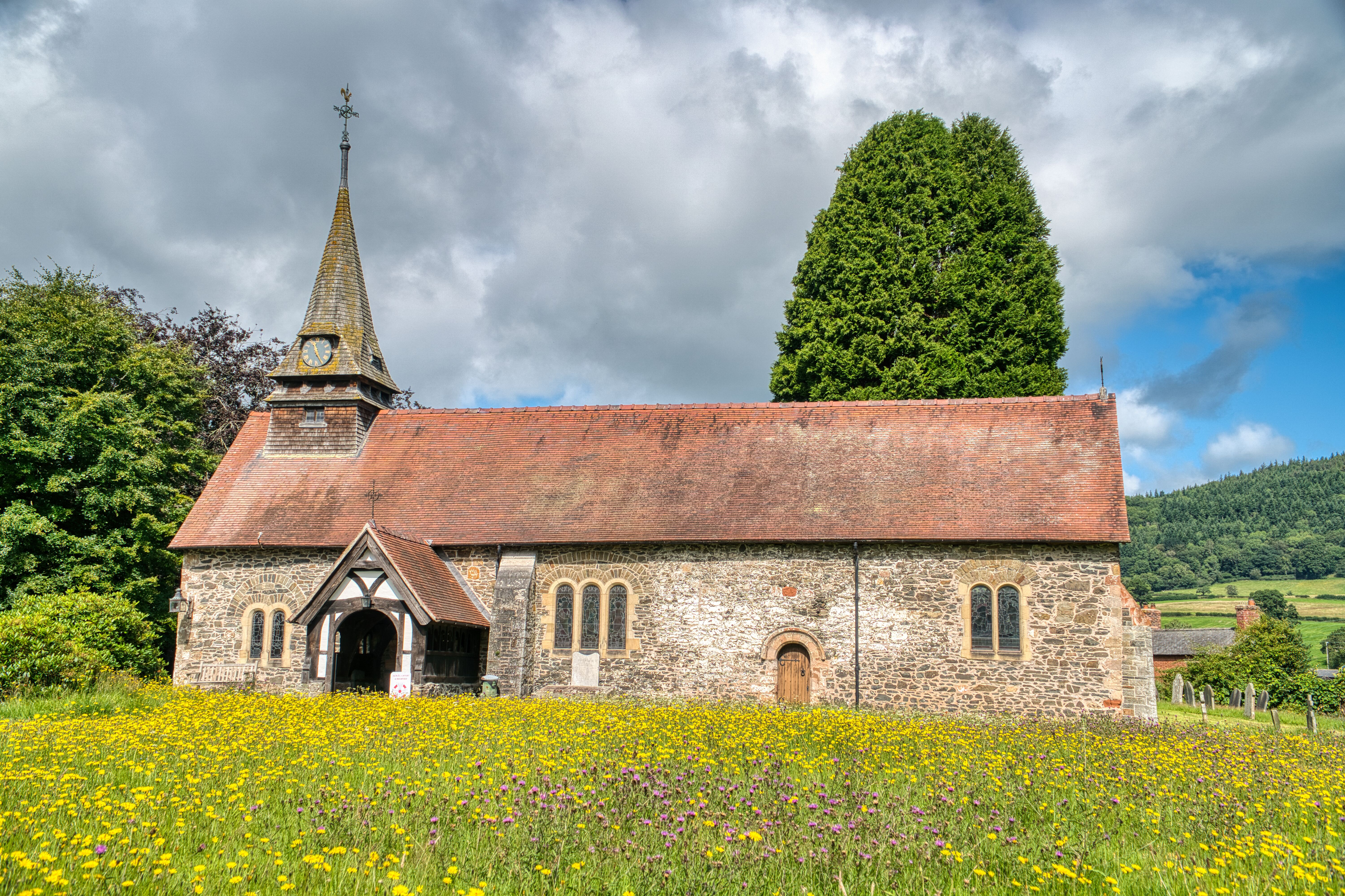
St Garmon's Church, Llanfechain
St Garmon's Church, Llanfechain, is in the village of Llanfechain, Powys, Wales. It is an active Anglican parish church in the deanery of Llanfyllin, the...
Nearby Amenities
Located within 500m of 52.754185,-3.206701Have you been to Bryngwyn?
Leave your review of Bryngwyn below (or comments, questions and feedback).