Mynydd Garn-wen
Hill, Mountain in Monmouthshire
Wales
Mynydd Garn-wen

Mynydd Garn-wen is a prominent hill located in Monmouthshire, Wales. Standing at an elevation of 370 meters (1,214 feet), it offers stunning panoramic views of the surrounding countryside. The hill is situated near the village of Llanvihangel Crucorney, approximately 6 kilometers (3.7 miles) northwest of Abergavenny.
Mynydd Garn-wen is a popular destination for outdoor enthusiasts, hikers, and nature lovers. It is a part of the Black Mountains range, which forms a natural border between England and Wales. The hill's well-maintained footpaths and trails make it easily accessible for visitors of all ages and abilities.
The summit of Mynydd Garn-wen boasts breathtaking vistas, with views stretching across the Usk Valley and the neighboring hilltops. On clear days, it is even possible to see the Brecon Beacons National Park in the distance. The hill's diverse landscape features lush green meadows, rocky outcrops, and patches of woodland, providing a rich habitat for a variety of plants and wildlife.
The area surrounding Mynydd Garn-wen also holds historical significance. Ruins of an Iron Age hillfort, known as Twyn y Gaer, can be found on the hill's eastern slopes. This ancient fortification offers a glimpse into the region's past and provides an intriguing backdrop for visitors to explore.
Overall, Mynydd Garn-wen is a stunning natural landmark that showcases the beauty of Monmouthshire's countryside. Its accessibility, captivating views, and historical significance make it a must-visit location for anyone seeking outdoor adventure and an appreciation for Wales' rich heritage.
If you have any feedback on the listing, please let us know in the comments section below.
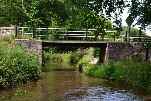
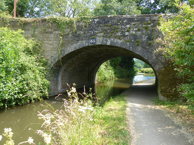
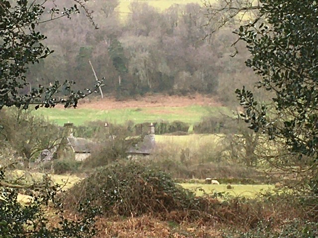
Mynydd Garn-wen Images
Images are sourced within 2km of 51.733173/-3.030765 or Grid Reference SO2804. Thanks to Geograph Open Source API. All images are credited.


Mynydd Garn-wen is located at Grid Ref: SO2804 (Lat: 51.733173, Lng: -3.030765)
Unitary Authority: Torfaen
Police Authority: Gwent
Also known as: Garn Wen
What 3 Words
///entitles.javelin.acted. Near Pontypool, Torfaen
Nearby Locations
Related Wikis
Ty-asch, Mamhilad
Ty-asch, Mamhilad, Monmouthshire is a farmhouse dating from the late 16th century. Largely unaltered since its construction, Ty-asch is a Grade II* listed...

Persondy, Mamhilad
Persondy (the Priest's House), Mamhilad, Monmouthshire is a former parsonage dating from the late 16th century. It is a Grade II* listed building. The...
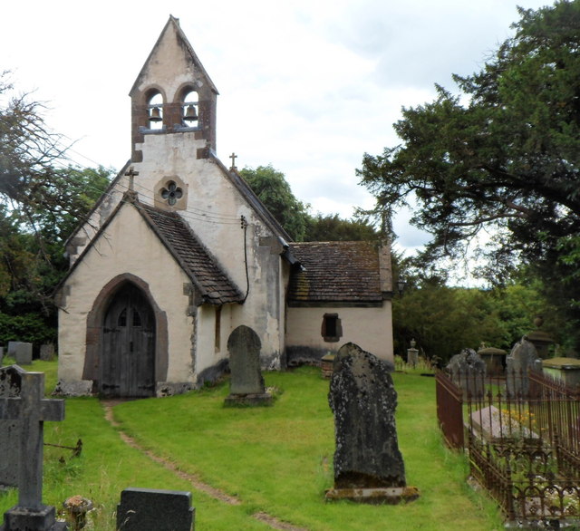
Church of St Illtyd, Mamhilad
The Church of St Illtyd, Mamhilad, Monmouthshire, Wales, is a parish church with its origins in the 11th century. Renovations took place in the 19th century...

Cwmffrwd Halt railway station
Cwmffrwd Halt railway station served the settlement of Victoria Village, near Abersychan, Torfaen, Wales, from 1912 to 1962 on the Eastern Valley branch...
Nearby Amenities
Located within 500m of 51.733173,-3.030765Have you been to Mynydd Garn-wen?
Leave your review of Mynydd Garn-wen below (or comments, questions and feedback).