Gulvain
Hill, Mountain in Inverness-shire
Scotland
Gulvain
Gulvain is a prominent hill located in Inverness-shire, Scotland. It is situated in the Lochaber region, approximately 20 kilometers northwest of Fort William. Standing at a height of 987 meters (3,238 feet), Gulvain is classified as a Corbett, which refers to hills in Scotland between 2,500 and 3,000 feet high.
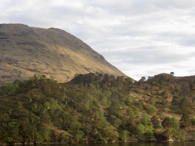
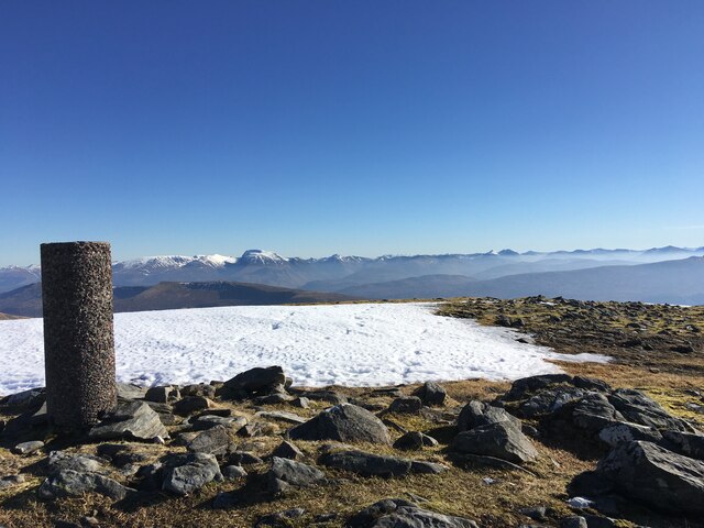
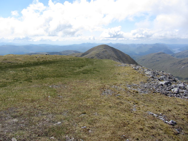
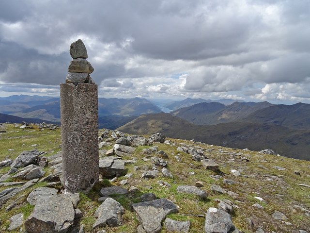
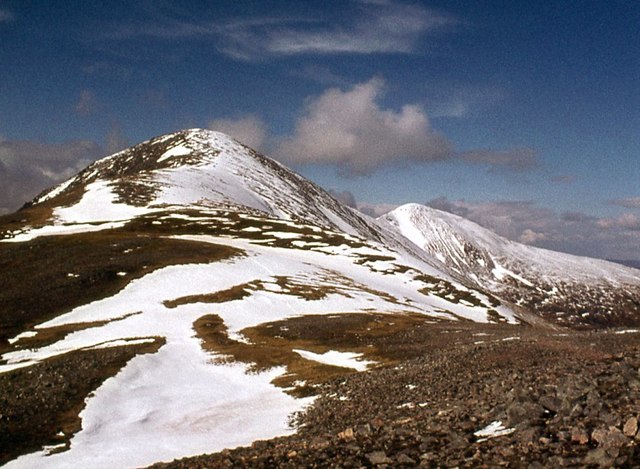
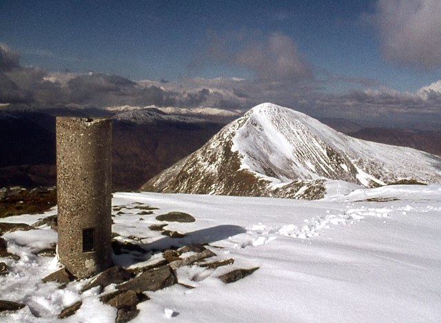
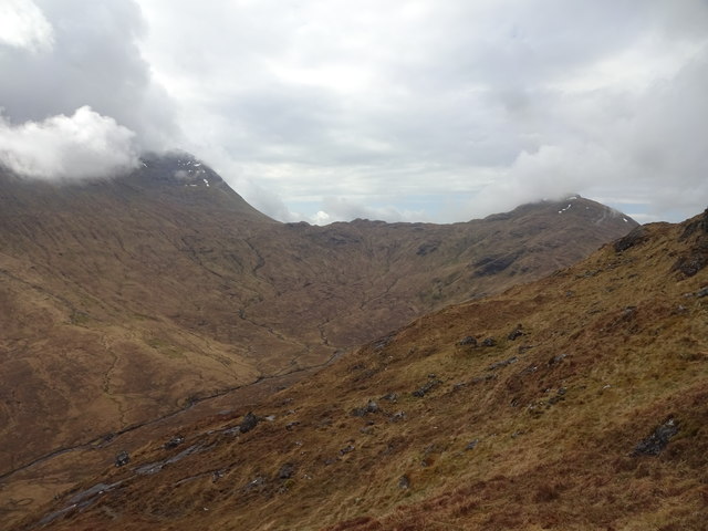
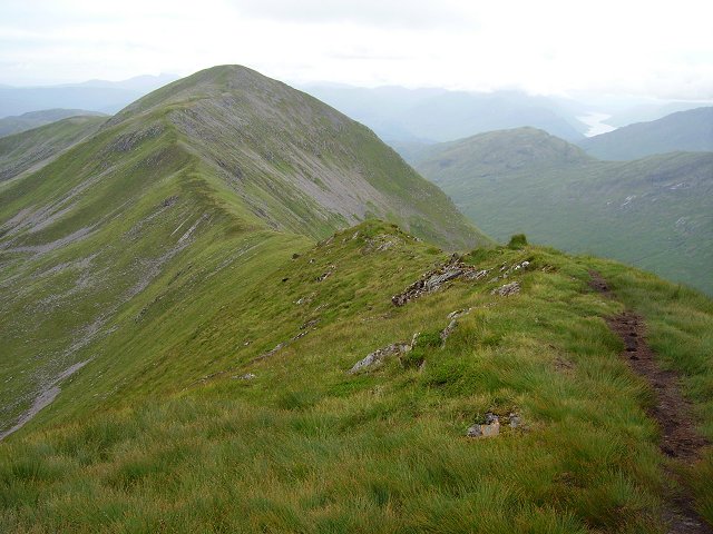
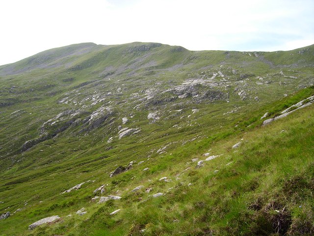
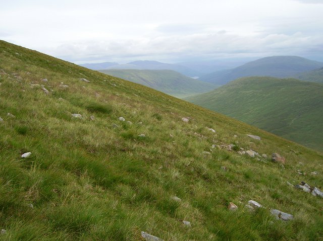
The hill offers breathtaking panoramic views of the surrounding area, including Loch Eil, Loch Lochy, and the mighty Ben Nevis, the highest mountain in the British Isles. Gulvain is known for its rugged and rocky terrain, with steep slopes that pose a challenge to hikers and climbers.
The ascent to the summit of Gulvain can be approached from various directions. One of the most popular routes starts from the small hamlet of Fassfern, where a path leads through a forested area before emerging onto the open hillside. From there, hikers must navigate their way up the steep slopes, occasionally scrambling over rocky sections. The final stretch to the summit rewards climbers with stunning views and a sense of accomplishment.
Gulvain is a haven for outdoor enthusiasts, attracting walkers, hikers, and mountaineers from near and far. Its remote and unspoiled location provides an opportunity to immerse oneself in the natural beauty of the Scottish Highlands. Whether it's a challenging climb or a leisurely hike, Gulvain offers an unforgettable experience for those seeking adventure in the heart of Inverness-shire.
If you have any feedback on the listing, please let us know in the comments section below.
Gulvain Images
Images are sourced within 2km of 56.936239/-5.2845119 or Grid Reference NN0087. Thanks to Geograph Open Source API. All images are credited.
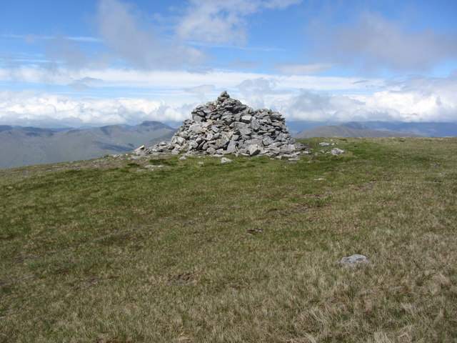
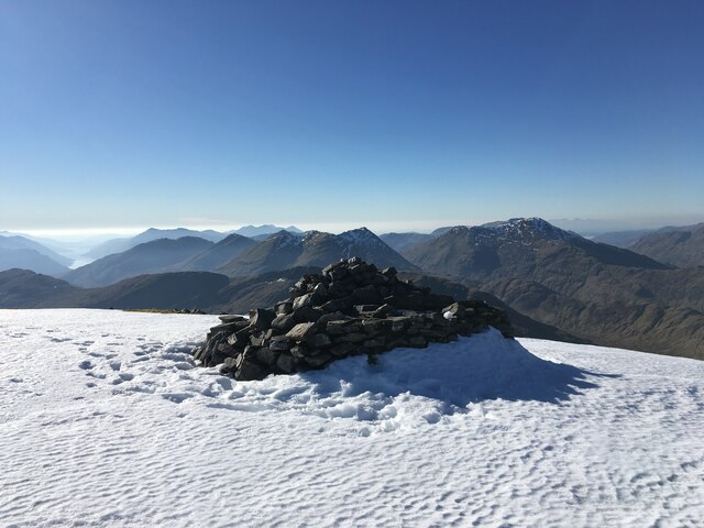
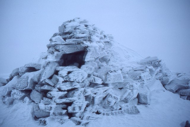
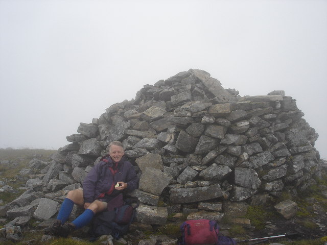
![Gulvain [Gaor Bheinn] Cloudy on top, dry and warm.
Name: Gulvain [Gaor Bheinn]
Hill number: 773
Height: 987m / 3238ft
Area: 10D: Mallaig to Fort William
Class: Ma,M,Mur
Grid ref: NN 00271 87562
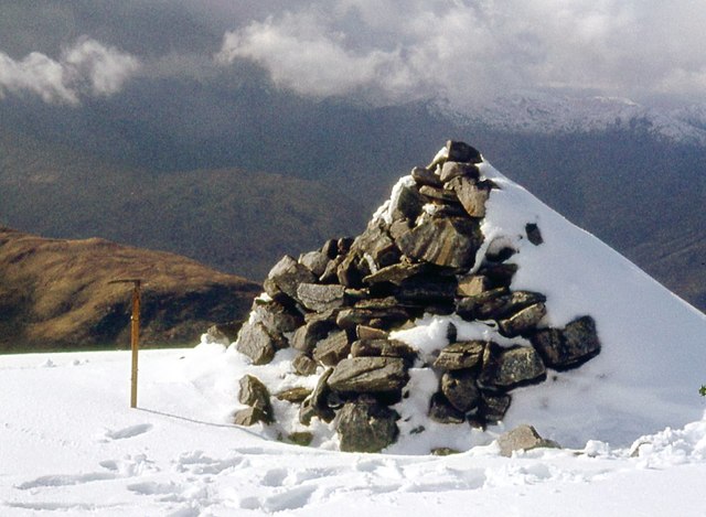
Summit feature: cairn
Drop: 842m
Col: 145m NM889895](https://s3.geograph.org.uk/geophotos/03/37/17/3371791_10da4423.jpg)
Gulvain is located at Grid Ref: NN0087 (Lat: 56.936239, Lng: -5.2845119)
Unitary Authority: Highland
Police Authority: Highlands and Islands
Also known as: Gaor Bheinn
What 3 Words
///realm.riots.crackled. Near Fort William, Highland
Nearby Locations
Related Wikis

Gaor Bheinn
Gaor Bheinn, also known in English as Gulvain (Scottish Gaelic: Gadhail Bheinn), is a mountain in the Northwest Highlands of Scotland. It is in Lochaber...

Bràigh nan Uamhachan
Braigh nan Uamhachan (765 m) is a mountain in the Northwest Highlands of Scotland. It is located north of Glenfinnan in Lochaber. Taking the form of a...

Meall a' Phubuill
Meall a' Phubuill (774 m) is a peak in the Northwest Highlands, Scotland, northwest of Fort William in Lochaber. A rounded and grassy hill, it stands at...

Murlagan
Murlagan is a small hamlet located on the north shore of Loch Arkaig in Inverness-shire, Scottish Highlands and is in the Scottish council area of Highland...
Nearby Amenities
Located within 500m of 56.936239,-5.2845119Have you been to Gulvain?
Leave your review of Gulvain below (or comments, questions and feedback).