Bradlow Knoll
Hill, Mountain in Herefordshire
England
Bradlow Knoll

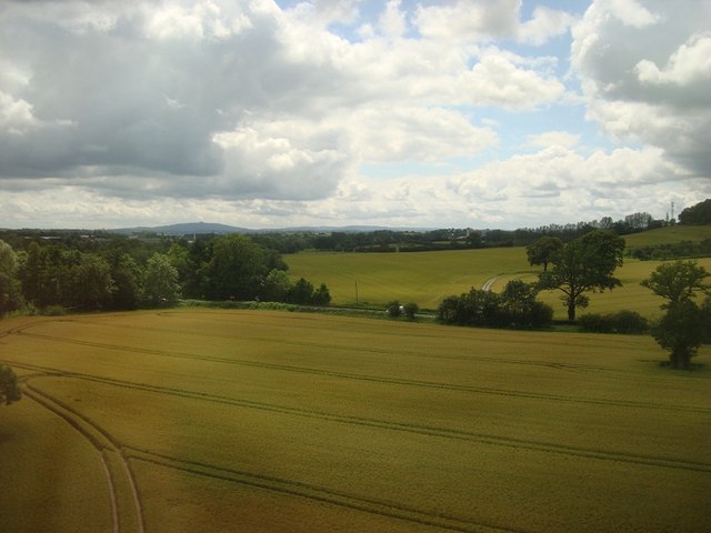
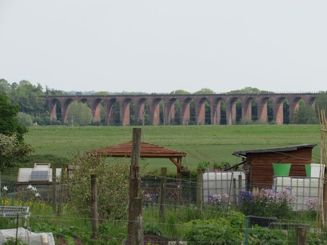
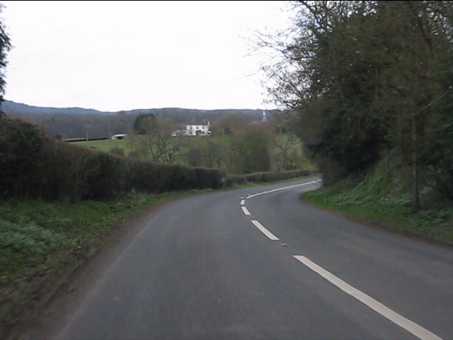
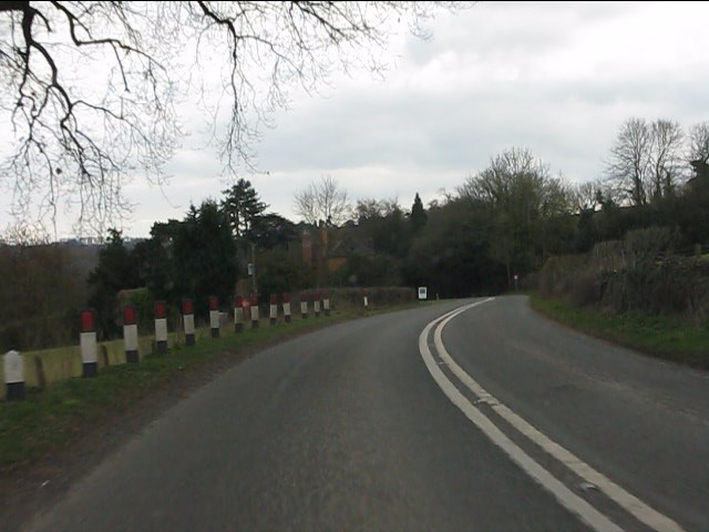
Bradlow Knoll is a prominent hill located in the county of Herefordshire, England. Rising to an elevation of approximately 280 meters (918 feet), it is considered one of the notable natural landmarks in the region. Situated in the western part of Herefordshire, Bradlow Knoll is part of the Malvern Hills Area of Outstanding Natural Beauty, known for its stunning landscapes and diverse flora and fauna.
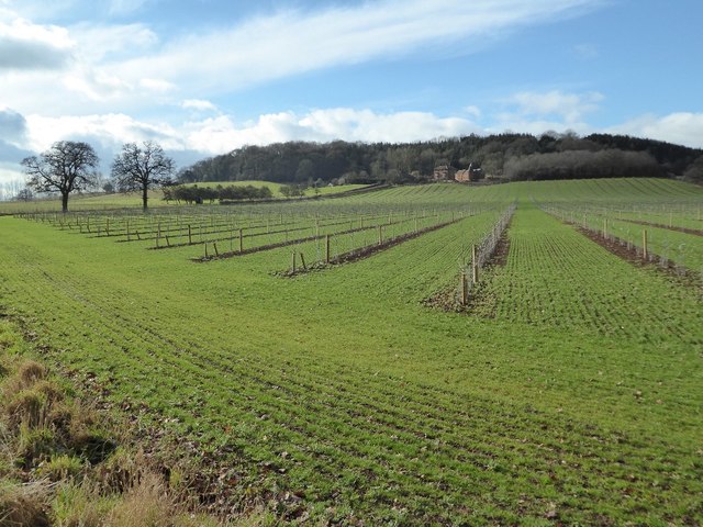
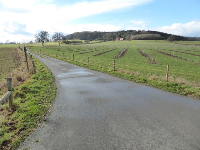
The hill is characterized by its gentle slopes and distinctive rounded shape, which make it easily recognizable from a distance. It is primarily composed of ancient volcanic rocks, including igneous and metamorphic formations, which contribute to its unique geological profile. The summit of Bradlow Knoll offers breathtaking panoramic views of the surrounding countryside, with vistas extending towards the nearby Welsh border and the Malvern Hills.
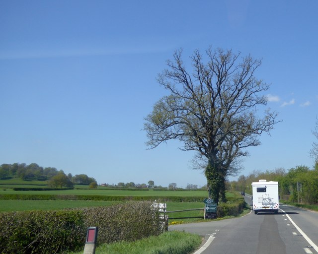
The hill is crisscrossed by a network of footpaths and trails, making it a popular destination for hikers, nature enthusiasts, and those seeking outdoor activities. Its accessibility and relatively moderate incline make it suitable for individuals of varying fitness levels. The diverse habitat on Bradlow Knoll supports a wide array of wildlife, including various bird species, small mammals, and insects.
Bradlow Knoll is also steeped in history, with evidence of human activity dating back thousands of years. Archaeological discoveries have revealed traces of ancient settlements and burial mounds in the vicinity, indicating that the hill has played a significant role in the lives of past communities.
Overall, Bradlow Knoll stands as a remarkable natural feature within the Herefordshire landscape, offering visitors a chance to immerse themselves in the region's natural beauty and rich history.
If you have any feedback on the listing, please let us know in the comments section below.
Bradlow Knoll Images
Images are sourced within 2km of 52.048973/-2.4151779 or Grid Reference SO7139. Thanks to Geograph Open Source API. All images are credited.


Bradlow Knoll is located at Grid Ref: SO7139 (Lat: 52.048973, Lng: -2.4151779)
Unitary Authority: County of Herefordshire
Police Authority: West Mercia
Also known as: Frith Hill
What 3 Words
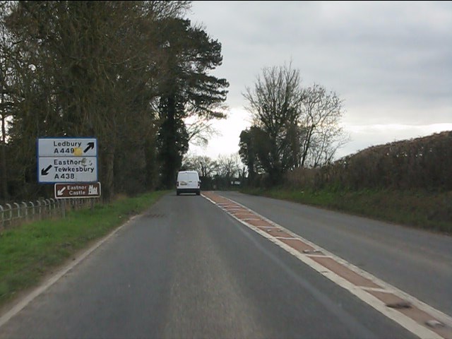
///thundered.kebab.imply. Near Ledbury, Herefordshire
Nearby Locations
Related Wikis

Ledbury Tunnel
Ledbury Tunnel is a single-track railway tunnel immediately to the east of Ledbury railway station on the Cotswold Line, in Herefordshire, England. The...

Ledbury Signal Box
Ledbury Signal Box is a typical Great Western Railway traditional lever frame signal box which remains in daily use at Ledbury Station, Herefordshire,...
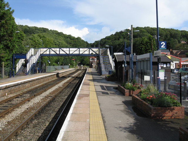
Ledbury railway station
Ledbury railway station is located on the outskirts of the town of Ledbury, on the Worcester to Hereford line in the English Midlands. It has regular services...

Hereford Road Skew Bridge
Hereford Road Skew Bridge is a disused railway bridge in Ledbury, Herefordshire. Built in 1881 to carry the Ledbury and Gloucester Railway across the Hereford...

Herefordshire and Gloucestershire Canal
The Herefordshire and Gloucestershire Canal (sometimes known as the Hereford and Gloucester Canal) is a canal in the west of England, which ran from Hereford...

Wellington Heath
Wellington Heath is a small village and civil parish in Herefordshire, England, approximately 1.5 miles (2.4 km) north of Ledbury. The population was recorded...

Church of St Michael and All Angels, Ledbury
The Church of St Michael and All Angels is an Anglican church in Ledbury, in Herefordshire, England. The oldest parts date from the 12th century, and most...

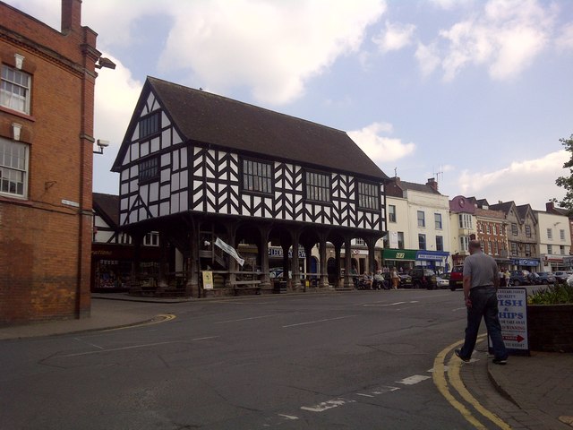
Ledbury Market Hall
Ledbury Market Hall, also known as Ledbury Town Hall, is a municipal building in the High Street in Ledbury, Herefordshire, England. The structure, which...
Nearby Amenities
Located within 500m of 52.048973,-2.4151779Have you been to Bradlow Knoll?
Leave your review of Bradlow Knoll below (or comments, questions and feedback).