Knighton Fields
Settlement in Leicestershire
England
Knighton Fields
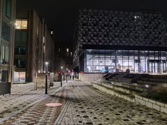
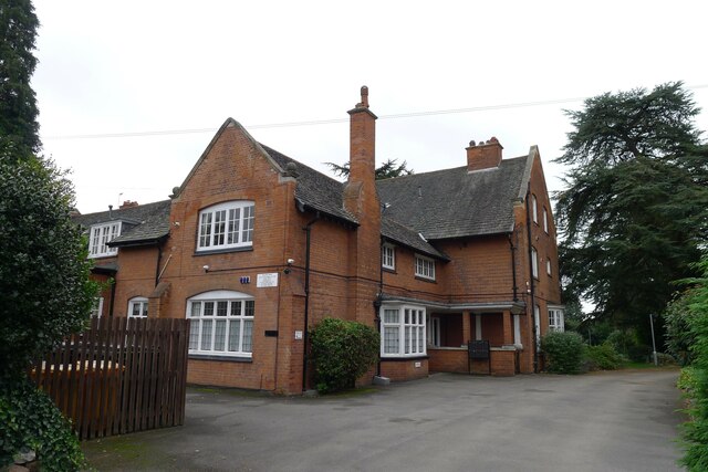
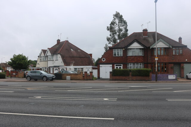
Knighton Fields is a suburban area located in the city of Leicester, Leicestershire, England. Situated approximately 2 miles south of the city center, it is bordered by Aylestone, Clarendon Park, and Stoneygate. The area is predominantly residential, characterized by a mixture of Victorian and Edwardian houses, as well as some more modern developments.
Knighton Fields benefits from its proximity to Leicester city center, offering residents easy access to a wide range of amenities and services. The area is well-served by public transportation, with regular bus services connecting it to other parts of the city. Additionally, Leicester train station is just a short distance away, providing excellent rail links to major cities across the UK.
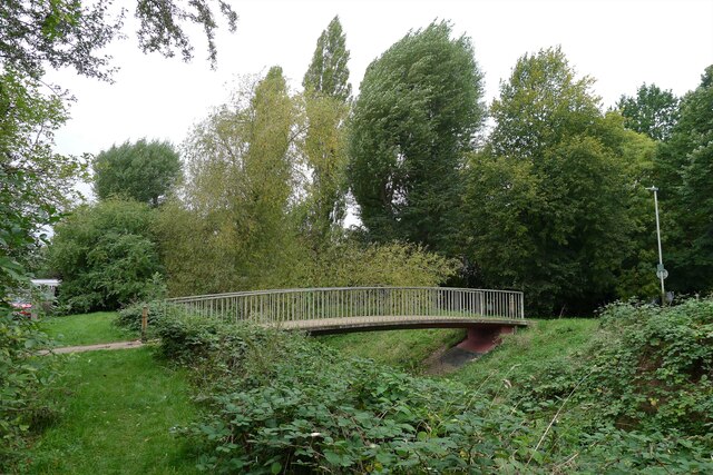
The area is also home to several green spaces, providing residents with opportunities for outdoor recreation. Victoria Park, a large public park, is located nearby, offering beautiful gardens, sports facilities, and a boating lake. Additionally, Knighton Park, a smaller park with tennis courts and a children's playground, is situated within the area itself.
Knighton Fields is well-served in terms of educational facilities, with several schools located in and around the area. These include Knighton Fields Primary Academy, St. Mary's Fields Primary School, and St. John Fisher Catholic Voluntary Academy.
Overall, Knighton Fields offers an attractive residential area with a range of amenities, excellent transport links, and access to green spaces, making it an appealing place to live in Leicestershire.
If you have any feedback on the listing, please let us know in the comments section below.
Knighton Fields Images
Images are sourced within 2km of 52.613801/-1.128869 or Grid Reference SK5902. Thanks to Geograph Open Source API. All images are credited.


![32 Ratcliffe Road, Knighton, Leicester Listed Grade &quot; ... II* House with coach house and stabling range. 1892 by Ernest Gimson for himself ... A fine house by this eminent Arts and Crafts architect with virtually unaltered interior retaining many features of interest.&quot; <span class="nowrap"><a title="https://historicengland.org.uk/listing/the-list/list-entry/1074805" rel="nofollow ugc noopener" href="https://historicengland.org.uk/listing/the-list/list-entry/1074805">Link</a><img style="margin-left:2px;" alt="External link" title="External link - shift click to open in new window" src="https://s1.geograph.org.uk/img/external.png" width="10" height="10"/></span>
Nikolaus Pevsner called Gimson &quot;the greatest of the English architect-designers&quot; [Wiki], but I don&#039;t find this building at all attractive.](https://s1.geograph.org.uk/geophotos/06/99/75/6997561_8c86b6bf.jpg)
![Church of St Thomas More, Knighton Road, Leicester &quot;A good example of a mid 20th century Catholic church designed by the Manchester-based ecclesiastical architects Reynolds &amp; Scott, who built a great number of Catholic churches in the post-war years. The church was built in 1950-52 by the builders G. Duxbury &amp; Sons and is a buff brick building in a stripped back Italianate style, with a broad west tower that dominates the streetscene, it is a local landmark.&quot; [Local Heritage Asset Register, Leicester City Council]](https://s1.geograph.org.uk/geophotos/06/99/77/6997749_2c5908e9.jpg)


Knighton Fields is located at Grid Ref: SK5902 (Lat: 52.613801, Lng: -1.128869)
Unitary Authority: Leicester
Police Authority: Leicestershire
What 3 Words
///pumps.drips.keys. Near Leicester, Leicestershire
Nearby Locations
Related Wikis

Saffron Lane sports centre
Saffron Lane sports centre is a large 8 lane (9 lane straight) 400 metre synthetic floodlight lit running track which includes a steeplechase water jump...
Sabras Radio
Sabras Radio is an Asian commercial radio station based in Leicester, England, available on 1260AM and DAB. The radio station broadcasts to the East Midlands...

Welford Road railway station
Welford Road railway station was a railway station built by the London and North Western Railway to allow their staff to collect passenger tickets from...
Friar Lane & Epworth F.C.
Friar Lane & Epworth F.C. is a football club based in Aylestone, which is a suburb of Leicester, Leicestershire, England. They currently play in the Leicestershire...
Wyggeston and Queen Elizabeth I College
Wyggeston and Queen Elizabeth I College (WQE) is a sixth form college, located in Leicester, England. The college is led by Paul Wilson who was appointed...
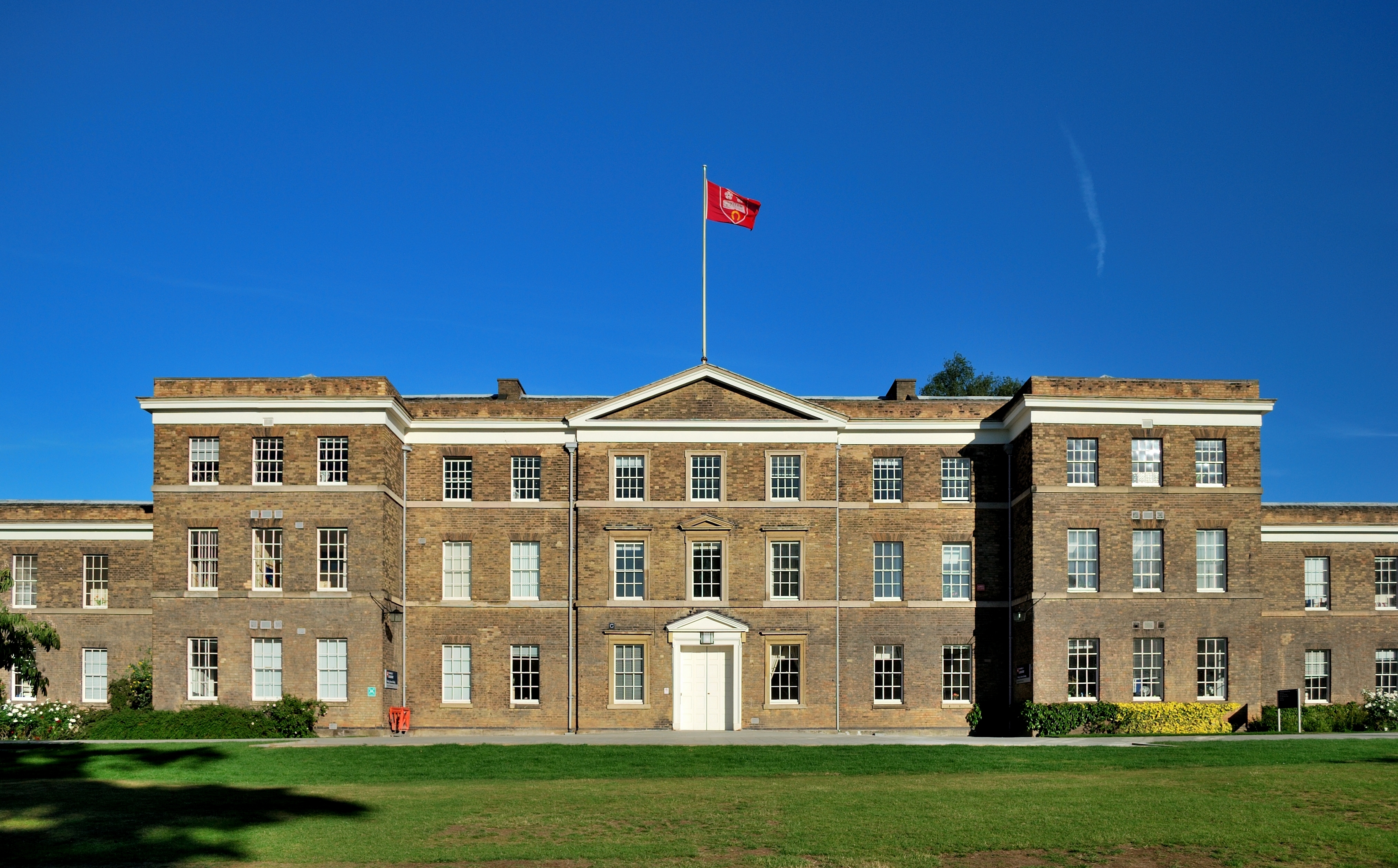
Fielding Johnson Building
The Fielding Johnson Building is the main administrative building for the University of Leicester, Leicester, England. It is a Grade II listed building...
West Knighton, Leicester
West Knighton is a community in Leicester in the United Kingdom. West Knighton's boundaries include Knighton Fields Road East to the North, Welford Road...
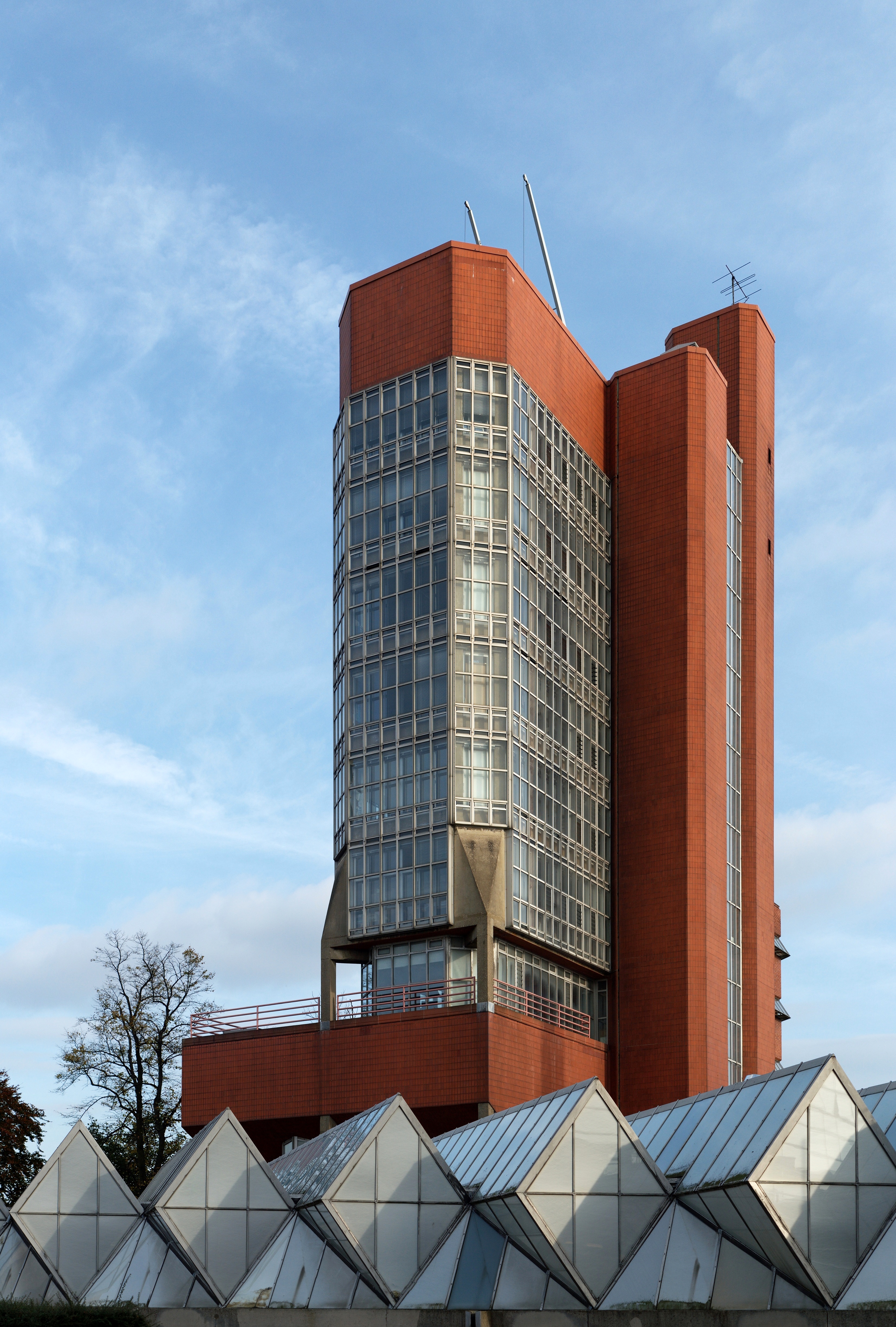
University of Leicester Engineering Building
The Engineering Building is part of the University of Leicester. It was designed by the architects James Stirling and James Gowan. == The Red Trilogy... ==
Nearby Amenities
Located within 500m of 52.613801,-1.128869Have you been to Knighton Fields?
Leave your review of Knighton Fields below (or comments, questions and feedback).