Bryniau Rhyddion
Hill, Mountain in Cardiganshire
Wales
Bryniau Rhyddion
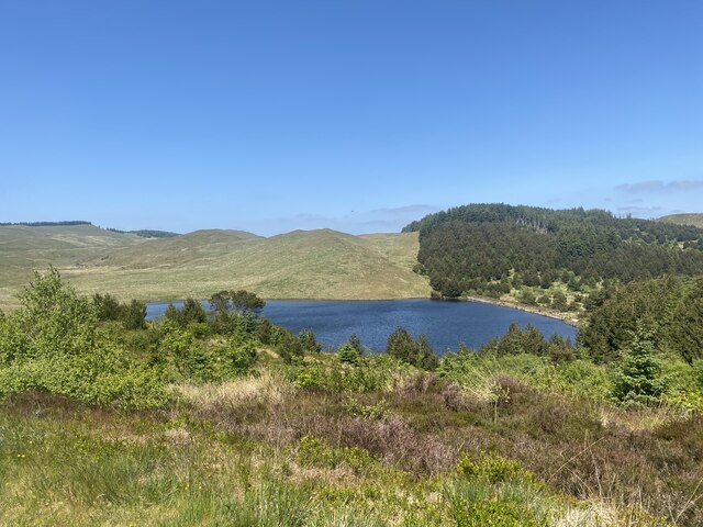
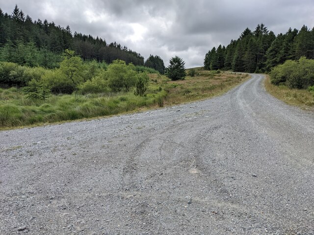
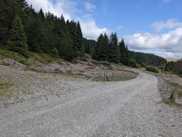
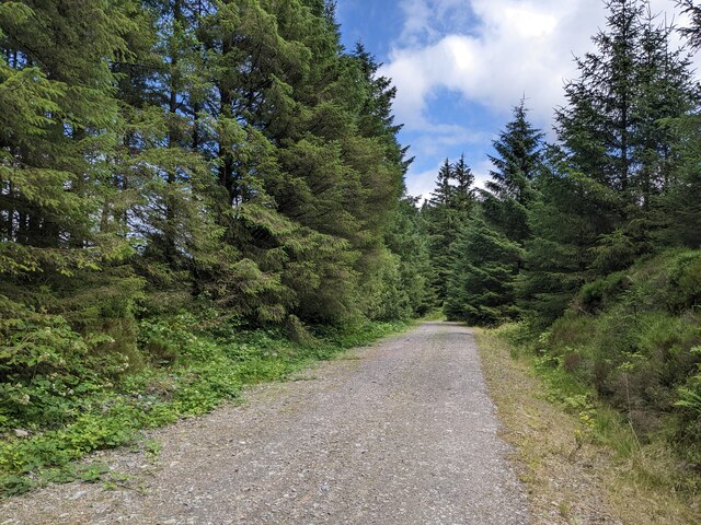
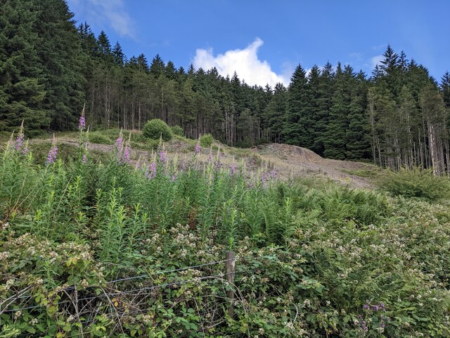
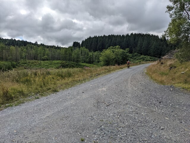
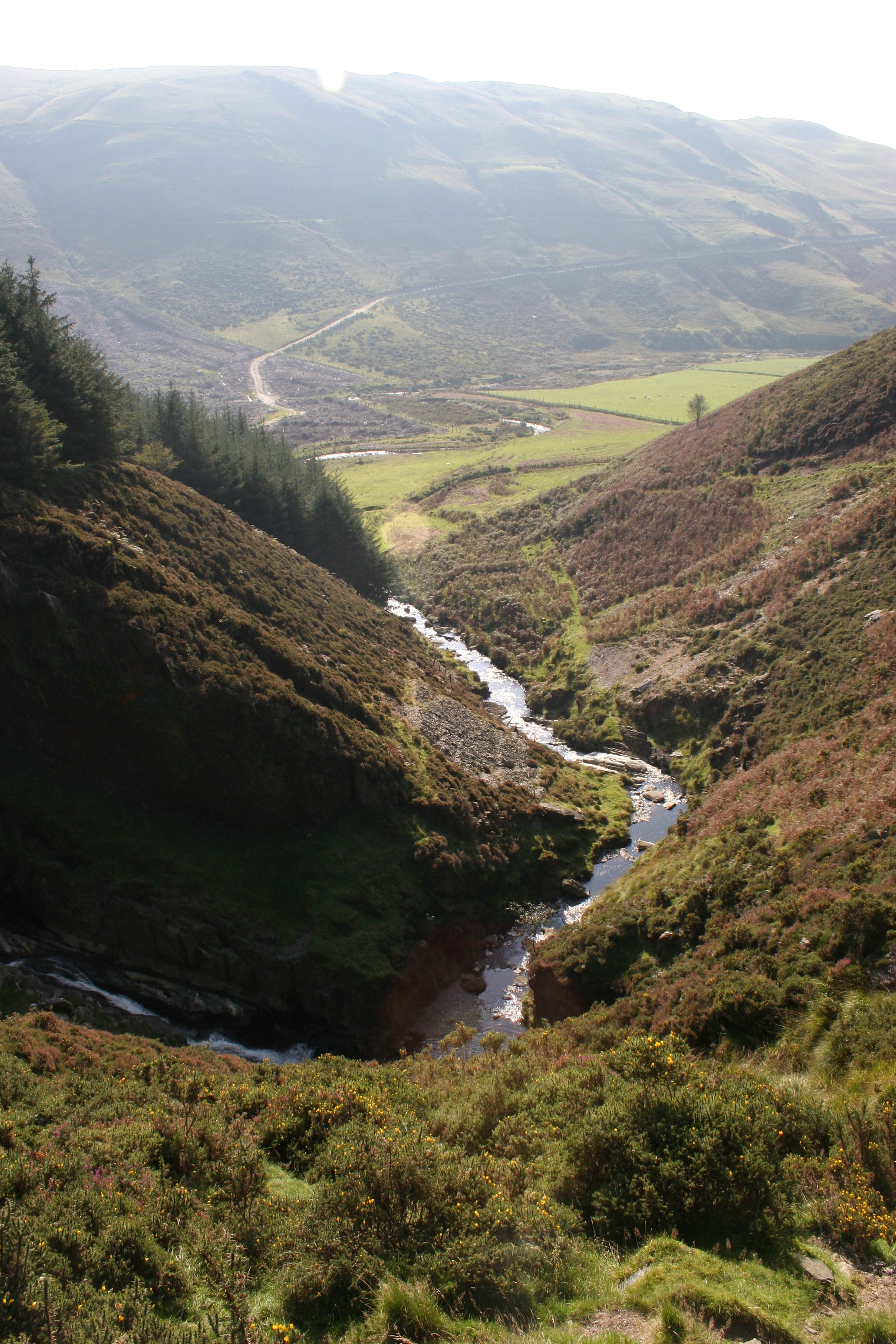
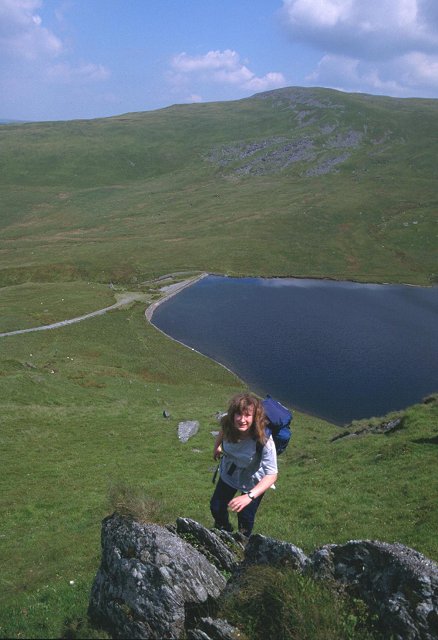
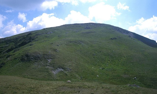
Bryniau Rhyddion, located in Cardiganshire, Wales, is a stunning hill/mountain that offers breathtaking views and a variety of recreational activities for outdoor enthusiasts. Standing at an elevation of approximately 1,200 feet (366 meters), it is a prominent feature in the landscape and a popular destination for hikers, climbers, and nature lovers alike.
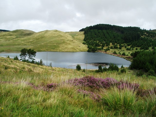
The hill/mountain is part of the Cambrian Mountains range and is characterized by its rugged terrain, rocky outcrops, and heather-covered slopes. The summit provides panoramic views of the surrounding countryside, including the rolling hills, valleys, and distant mountains. On clear days, it is possible to see as far as the coastlines of Cardigan Bay and Pembrokeshire.
Bryniau Rhyddion is known for its diverse flora and fauna, with a rich variety of plant species and wildlife inhabiting its slopes. Rare bird species, such as red kites and peregrine falcons, can often be spotted soaring overhead, adding to the area's natural beauty.
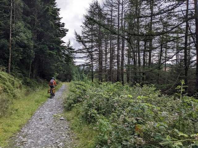
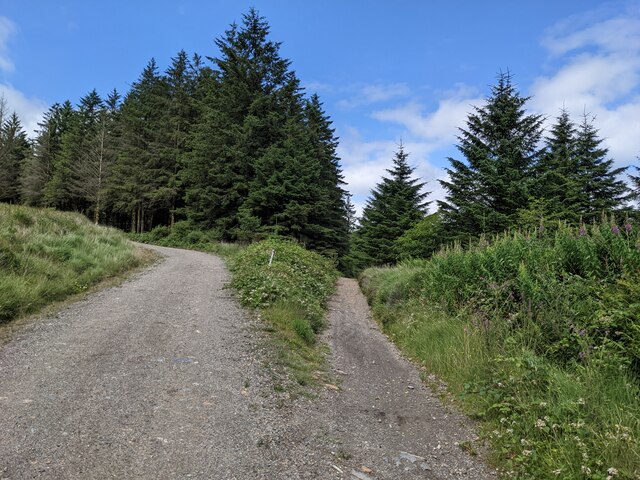
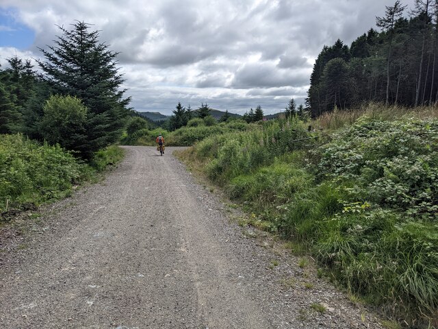
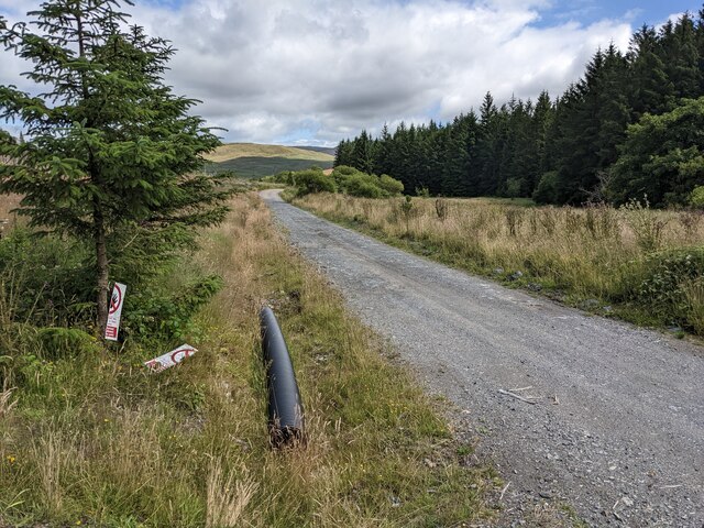
The hill/mountain offers a network of well-marked trails, making it accessible for hikers of all skill levels. There are also opportunities for rock climbing and bouldering, with various routes and challenges available for climbers. Additionally, the surrounding area is perfect for mountain biking, horse riding, and nature walks.
Whether seeking an adventurous hike or a peaceful retreat in nature, Bryniau Rhyddion in Cardiganshire offers a captivating experience for visitors, showcasing the natural wonders of Wales.
If you have any feedback on the listing, please let us know in the comments section below.
Bryniau Rhyddion Images
Images are sourced within 2km of 52.48767/-3.8547742 or Grid Reference SN7489. Thanks to Geograph Open Source API. All images are credited.


Bryniau Rhyddion is located at Grid Ref: SN7489 (Lat: 52.48767, Lng: -3.8547742)
Unitary Authority: Ceredigion
Police Authority: Dyfed Powys
Also known as: Fainc Fawr
What 3 Words
///suave.silver.song. Near Machynlleth, Powys
Nearby Locations
Related Wikis
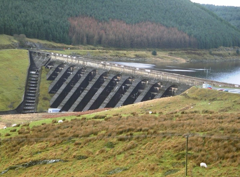
Nant-y-moch Reservoir
Nant-y-moch Reservoir () is situated in the Cambrian Mountains in northern Ceredigion, Wales, near Pumlumon. The reservoir which flooded a part of the...

Battle of Mynydd Hyddgen
The Battle of Mynydd Hyddgen was a battle between the Welsh and English in June 1401. It was part of the Welsh Revolt of 1400-1415 led by Owain Glyndŵr...
Craig-y-pistyll
Craig-y-pistyll is a Site of Special Scientific Interest in Ceredigion, west Wales. It is a reservoir with a dam at one end which supplies water to the...

Pistyll y Llyn
Pistyll y Llyn is one of the tallest waterfalls in Wales and the United Kingdom. It is a horsetail style set of falls which are located in the Cambrian...
Pumlumon Fach
Pumlumon Fach is a top of Pen Pumlumon Fawr on the Plynlimon massif, a part of the Cambrian Mountains in the county of Ceredigion, Wales. It lies on small...
Plynlimon
Plynlimon, or Pumlumon in Welsh (also historically anglicised as Plinlimon and Plinlimmon), is the highest point of the Cambrian Mountains in Wales (taking...

Y Garn (Plynlimon)
Y Garn is a subsidiary summit of Pen Pumlumon Fawr and the fourth highest peak on the Plynlimon massif, a part of the Cambrian Mountains in the county...

Ystrad Einion
Ystrad Einion or Ystrad-Einion is a small village in the community of Ysgubor-y-coed, Ceredigion, Wales, which is 78.7 miles (126.7 km) from Cardiff and...
Have you been to Bryniau Rhyddion?
Leave your review of Bryniau Rhyddion below (or comments, questions and feedback).