Knighton

Settlement in Worcestershire Wychavon

England

Knighton

Arable land near Abbots Morton View across arable land to the east of Abbots Morton.
Arable land near Abbots Morton Credit: Philip Halling

Knighton is a small village located in Worcestershire, England. Situated in the heart of the county, it lies approximately 4 miles south-east of Worcester city center and is nestled amidst picturesque countryside. The village is home to a close-knit community of around 500 residents.

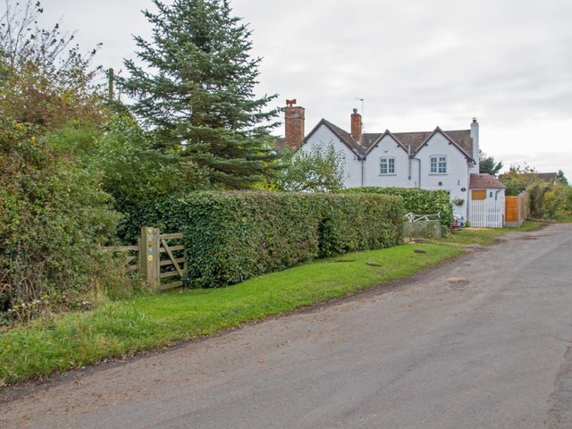
Knighton boasts a rich history, dating back to medieval times. The village is named after the Knights Templar, who once owned lands in the area. It is known for its charming architecture, with many traditional timber-framed houses lining the streets. St. Mary's Church, a Grade II listed building, stands as a prominent landmark in the village, reflecting its historical significance.

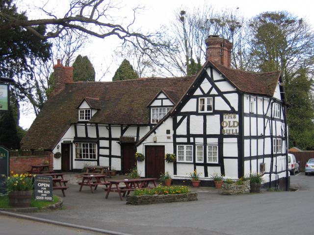
Despite its small size, Knighton offers various amenities to its residents. There is a village hall that serves as a hub for community activities and events. The local pub, The Knighton Arms, is a popular gathering spot where locals and visitors can enjoy a drink and friendly conversation. The village is also within close proximity to larger towns and cities, providing easy access to further amenities and services.

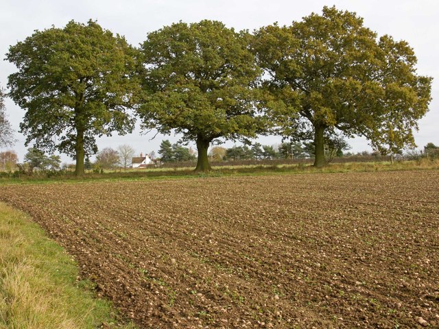
The surrounding countryside offers ample opportunities for outdoor activities, with picturesque walking trails and scenic views. The nearby Worcester Woods Country Park is a popular destination for nature enthusiasts, providing a peaceful escape from the bustle of everyday life.

Overall, Knighton, Worcestershire is a tranquil village with a rich history and a strong sense of community. Its idyllic location and convenient access to amenities make it an attractive place to live for those seeking a peaceful rural lifestyle.

If you have any feedback on the listing, please let us know in the comments section below.
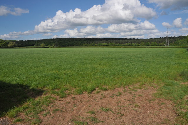
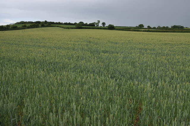
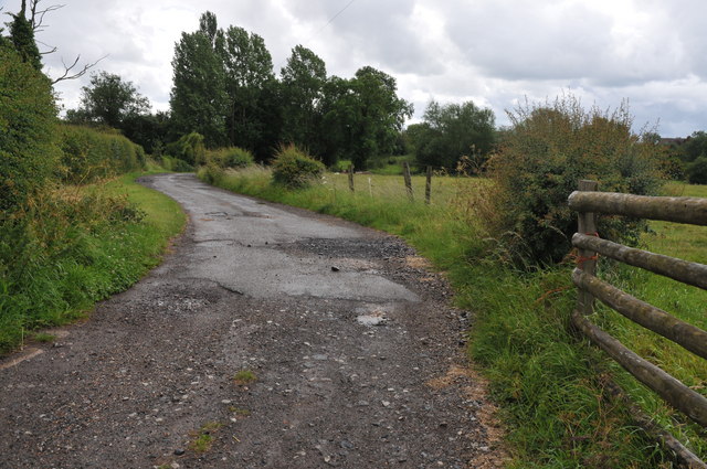
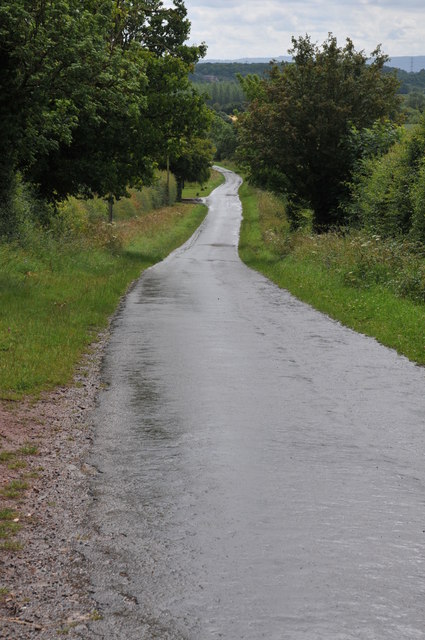
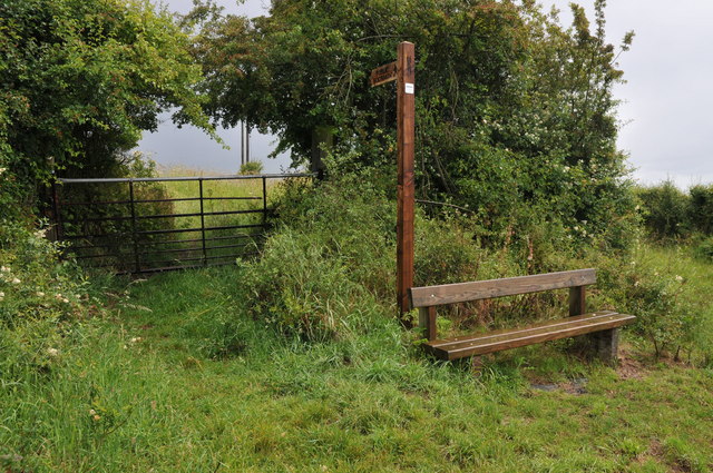
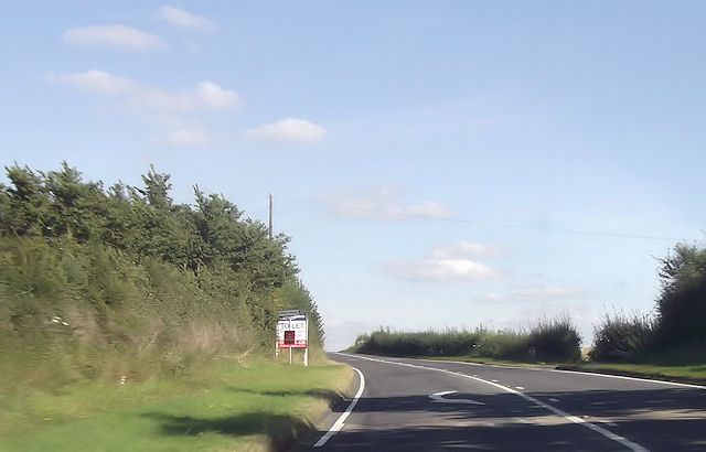
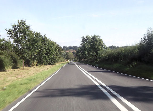
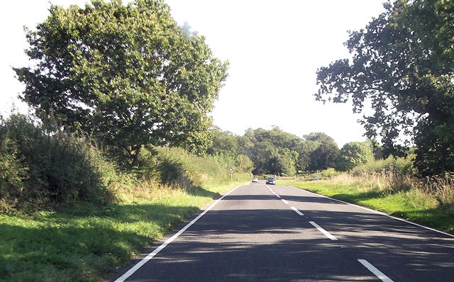
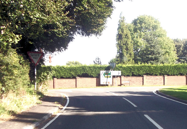
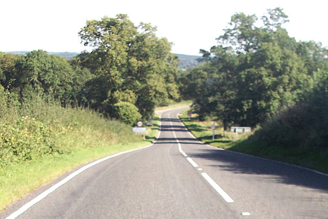
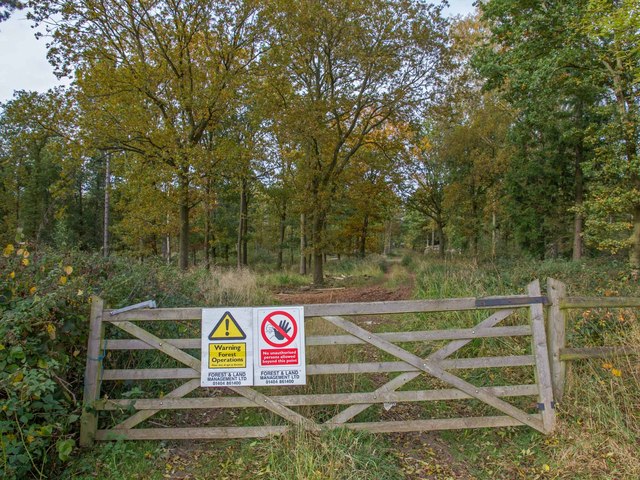
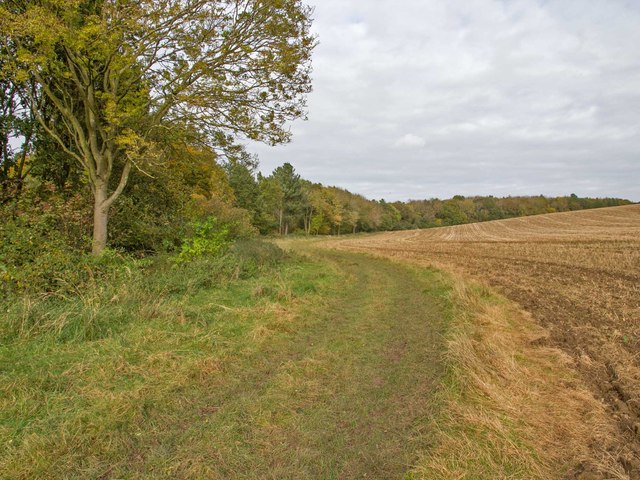
Knighton Images

Images are sourced within 2km of 52.209374/-1.946551 or Grid Reference SP0356. Thanks to Geograph Open Source API. All images are credited.

Arable land near Abbots Morton View across arable land to the east of Abbots Morton.
Arable land near Abbots Morton
View across arable land to the east of Abbots Morton.
Field of wheat A footpath Appletree Lane to Inkberrow is supposed to cross this field of wheat.
Field of wheat
A footpath Appletree Lane to Inkberrow is supposed to cross this field of wheat.
Farm road to Great Norbury Farm Farm road to Great Norbury Farm from Appletree Lane near Inkberrow.  For part of the way this is also a footpath.
Farm road to Great Norbury Farm
Farm road to Great Norbury Farm from Appletree Lane near Inkberrow. For part of the way this is also a footpath.
Road past Lench Farm Country road past Lench Farm near Inkberrow.
Road past Lench Farm
Country road past Lench Farm near Inkberrow.
Footpath and seat, Inkberrow A footpath sign and convenient seat near Inkberrow.
Footpath and seat, Inkberrow
A footpath sign and convenient seat near Inkberrow.
Country road near Little Mearse Farm Country road near Little Mearse Farm near Inkberrow.
Country road near Little Mearse Farm
Country road near Little Mearse Farm near Inkberrow.
Priory Piece junction from A422
Long straight at Jump for Joy riding stables
Straight road passing The Oaks
Road junction with A441 From A422 eastbound
Road junction with A441
From A422 eastbound
Entering Warwickshire on A422
Track through Weethley Wood View NNW from the footpath that runs round the eastern side of Weethley Wood.
Track through Weethley Wood
View NNW from the footpath that runs round the eastern side of Weethley Wood.
Footpath round Weethley Wood Looking north from the footpath that runs round the eastern side of Weethley Wood.
Footpath round Weethley Wood
Looking north from the footpath that runs round the eastern side of Weethley Wood.
Three oaks by the footpath Looking east from the footpath round Weethley Wood, towards three large oak trees along a field boundary. Through the trees can be seen two semi-detached cottages on the B4088 Evesham Road.
Three oaks by the footpath
Looking east from the footpath round Weethley Wood, towards three large oak trees along a field boundary. Through the trees can be seen two semi-detached cottages on the B4088 Evesham Road.
Footpath to Thornhill Farm To the left is the start of the footpath from the B4088 Evesham Road, towards Thornhill Farm.
To the right are two semi-detached cottages called the unusual names of 1 and 2, The Bunch Of Five.
The road in the foreground is part of a large lay-by that may have been the original course of the road in the past?
Footpath to Thornhill Farm
To the left is the start of the footpath from the B4088 Evesham Road, towards Thornhill Farm. To the right are two semi-detached cottages called the unusual names of 1 and 2, The Bunch Of Five. The road in the foreground is part of a large lay-by that may have been the original course of the road in the past?
Thornhill Wood Looking ESE towards the wood from the footpath to Thornhill Farm.
Thornhill Wood
Looking ESE towards the wood from the footpath to Thornhill Farm.
B4088 near Ridgeway Farm Looking north along the B4088 as it about to leave the grid square.
B4088 near Ridgeway Farm
Looking north along the B4088 as it about to leave the grid square.
Trig Point on Thornhill Trig point TP6451, flush bracket number S4980. <span class="nowrap"><a title="http://www.trigpointinguk.com/trigs/trig-details.php?t=6451" rel="nofollow ugc noopener" href="http://www.trigpointinguk.com/trigs/trig-details.php?t=6451">Link</a><img style="margin-left:2px;" alt="External link" title="External link - shift click to open in new window" src="https://s1.geograph.org.uk/img/external.png" width="10" height="10"/></span> <span class="nowrap"><a title="http://benchmarks.ordnancesurvey.co.uk/pls/htmldb/f?p=111:13:494455290280393258::NO::P13_HIDDEN:true" rel="nofollow ugc noopener" href="http://benchmarks.ordnancesurvey.co.uk/pls/htmldb/f?p=111:13:494455290280393258::NO::P13_HIDDEN:true">Link</a><img style="margin-left:2px;" alt="External link" title="External link - shift click to open in new window" src="https://s1.geograph.org.uk/img/external.png" width="10" height="10"/></span>
The hedge behind has grown a lot since the previous photo. <a href="https://www.geograph.org.uk/photo/10915">SP0556 : Thornhill</a>.
Trig Point on Thornhill
Trig point TP6451, flush bracket number S4980. LinkExternal link LinkExternal link The hedge behind has grown a lot since the previous photo. SP0556 : Thornhill.
Show me another place!

Knighton is located at Grid Ref: SP0356 (Lat: 52.209374, Lng: -1.946551)

Administrative County: Worcestershire

District: Wychavon

Police Authority: West Mercia

What 3 Words

///fairness.once.vessel. Near Inkberrow, Worcestershire

Nearby Locations

Knighton

Related Wikis

Cookhill Priory

Cookhill Priory was a Cistercian nunnery near Cookhill in Worcestershire, England. == History == The Priory is believed to be founded by Isabel de Mauduit...

Abbots Morton

Abbots Morton is a village and civil parish in the English county of Worcestershire. It consists of approximately 70 dwellings and 250 people. It retains...

Inkberrow Castle

Inkberrow Castle was situated in the village of Inkberrow in Worcestershire, some 10 km south of Redditch (grid reference SP017572). It was a castle built...

Inkberrow

Inkberrow is a village in Worcestershire, England, often thought to be the model for Ambridge, the setting of BBC Radio 4's long-running series The Archers...

Nearby Amenities

Located within 500m of 52.209374,-1.946551
Power: pole
Lat/Long: 52.2114496/-1.9524108
Power: pole
Lat/Long: 52.2114964/-1.9513263
Knighton
Power: pole
Transformer: distribution
Voltage Primary: 11000
Lat/Long: 52.2096808/-1.9491167
Power: pole
Lat/Long: 52.2115857/-1.9490976
Power: pole
Lat/Long: 52.213299/-1.9490609
Power: pole
Lat/Long: 52.2103756/-1.949125
Power: pole
Lat/Long: 52.2115785/-1.9492095
Power: pole
Lat/Long: 52.2109793/-1.9491389
Power: pole
Lat/Long: 52.2115375/-1.9501823
Power: pole
Lat/Long: 52.2124259/-1.9490871
Barrier: yes
Lat/Long: 52.2102361/-1.9458504
Power: pole
Lat/Long: 52.2089183/-1.9491311
Jordans Barn Knighton
Power: pole
Transformer: distribution
Voltage Primary: 11000
Lat/Long: 52.2080866/-1.9494027
Power: pole
Lat/Long: 52.2072442/-1.9496763
Power: pole
Lat/Long: 52.2063961/-1.9499512
Power: pole
Lat/Long: 52.2055956/-1.9502154
Power: pole
Lat/Long: 52.2105652/-1.9405822
Knighton East
Power: pole
Transformer: distribution
Voltage Primary: 11000
Lat/Long: 52.2106954/-1.9414587
Power: pole
Lat/Long: 52.2109194/-1.9428782
Power: pole
Lat/Long: 52.2110196/-1.9441952
Knighton Farm
Power: pole
Transformer: distribution
Voltage Primary: 11000
Lat/Long: 52.2104941/-1.9448175
Power: pole
Lat/Long: 52.2111511/-1.9481823
Power: pole
Lat/Long: 52.2111445/-1.9456999
Power: pole
Lat/Long: 52.2112735/-1.9472958
The data included in this document is from www.openstreetmap.org. The data is made available under ODbL.

Have you been to Knighton?

Leave your review of Knighton below (or comments, questions and feedback).