Cefn Tre-ysbyty
Hill, Mountain in Montgomeryshire
Wales
Cefn Tre-ysbyty

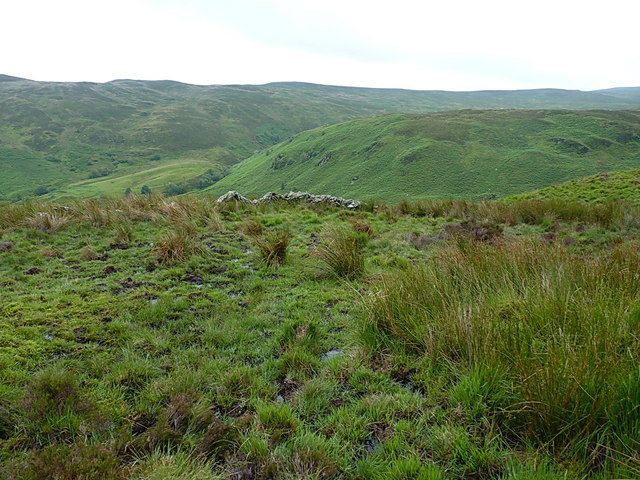
Cefn Tre-ysbyty is a prominent hill located in Montgomeryshire, Wales. It stands at an elevation of approximately 1,476 feet (450 meters) above sea level, making it a notable landmark in the region. The hill is characterized by its rolling green slopes and rocky outcrops, providing visitors with stunning panoramic views of the surrounding countryside.
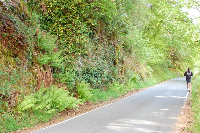
Cefn Tre-ysbyty is a popular destination for hikers and nature enthusiasts, offering a variety of walking trails and paths to explore. The hill is home to a diverse range of flora and fauna, including wildflowers, birds, and small mammals, making it a haven for wildlife enthusiasts.
The name "Cefn Tre-ysbyty" translates to "the ridge of the hospital" in English, although the origin of this name is unclear. Some believe it may refer to a historical hospital or infirmary that once stood in the area, while others suggest it could be linked to a local legend or folklore.
Overall, Cefn Tre-ysbyty is a picturesque and tranquil location, ideal for those seeking a peaceful retreat in the heart of the Welsh countryside.
If you have any feedback on the listing, please let us know in the comments section below.
Cefn Tre-ysbyty Images
Images are sourced within 2km of 52.770447/-3.5224661 or Grid Reference SH9720. Thanks to Geograph Open Source API. All images are credited.


Cefn Tre-ysbyty is located at Grid Ref: SH9720 (Lat: 52.770447, Lng: -3.5224661)
Unitary Authority: Powys
Police Authority: Dyfed Powys
Also known as: Mynydd St John
What 3 Words
///saucepan.contracts.mindset. Near Llangadfan, Powys
Nearby Locations
Related Wikis
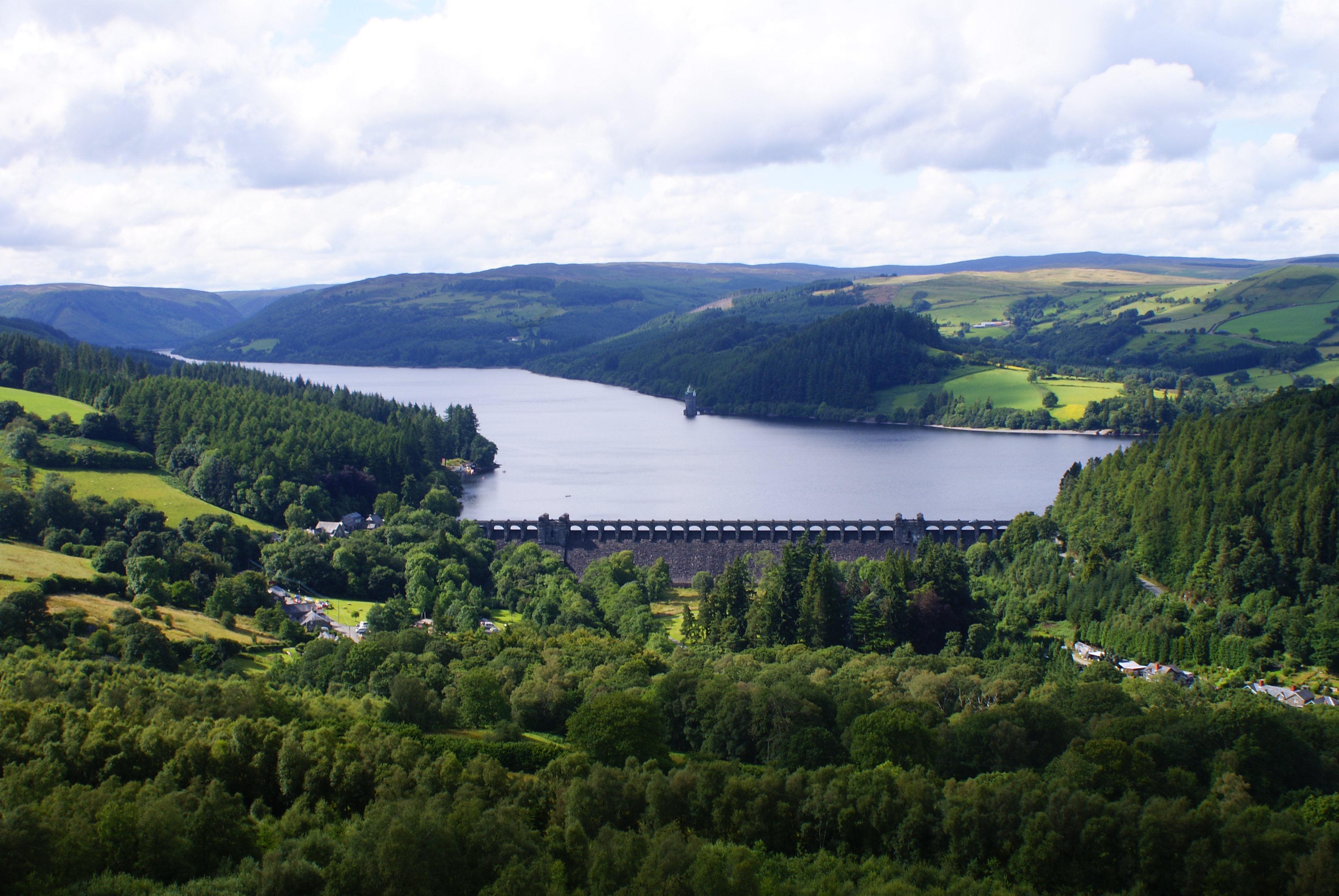
Lake Vyrnwy
Lake Vyrnwy (Welsh: Llyn Efyrnwy, pronounced [ɛˈvərnʊɨ] or Llyn Llanwddyn) is a reservoir in Powys, Wales, built in the 1880s for Liverpool Corporation...
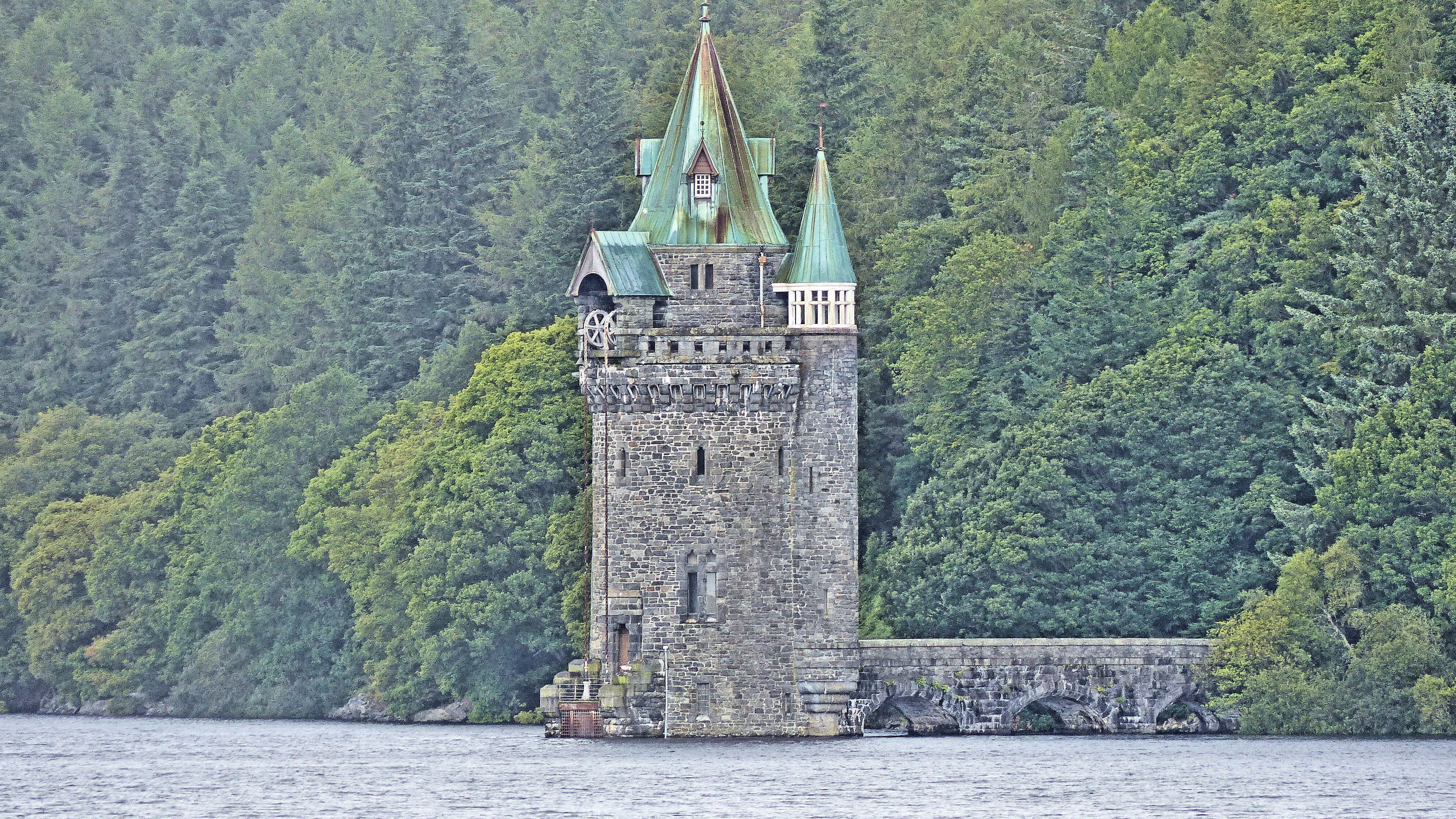
Lake Vyrnwy Straining Tower
The Straining Tower at Lake Vyrnwy is an intake tower built to extract water from the lake. The tower stands on the north shore of Lake Vyrnwy, near the...

Rhiwargor
Rhiwargor is a hamlet in Powys, Wales. It is located north of Lake Vyrnwy. The hamlet is made up of a few houses with no amenities. It does however, lie...

Llanwddyn
Llanwddyn () is a village and community in Montgomeryshire, Powys, Wales. The community is centred on the Lake Vyrnwy reservoir. The original Llanwddyn...
Nearby Amenities
Located within 500m of 52.770447,-3.5224661Have you been to Cefn Tre-ysbyty?
Leave your review of Cefn Tre-ysbyty below (or comments, questions and feedback).