Cefn Hill
Hill, Mountain in Monmouthshire
Wales
Cefn Hill
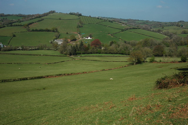
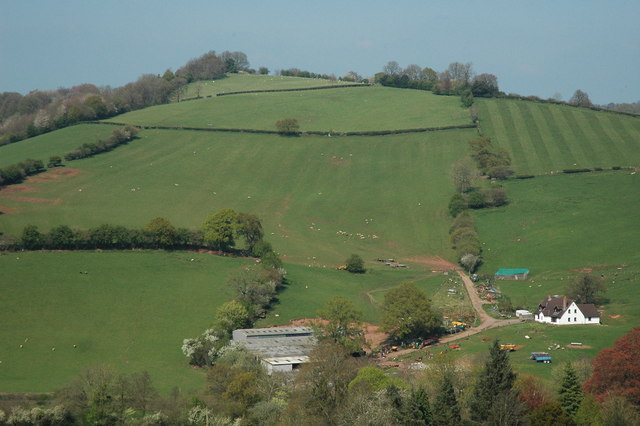
Cefn Hill is a prominent hill located in the county of Monmouthshire, Wales. It is situated near the town of Caerleon, approximately 7 miles northwest of Newport. Rising to a height of around 345 meters (1130 feet), Cefn Hill offers stunning views of the surrounding countryside and is a popular destination for hikers and nature enthusiasts.
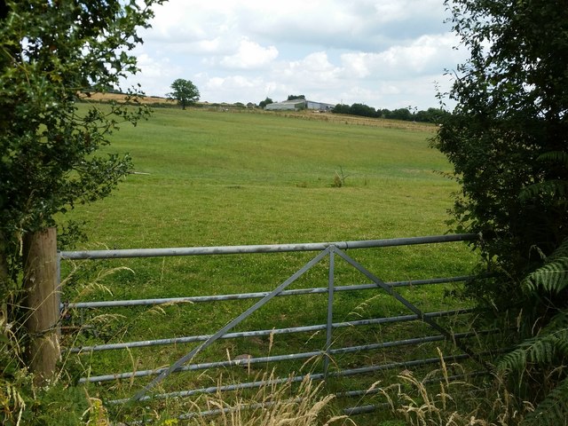
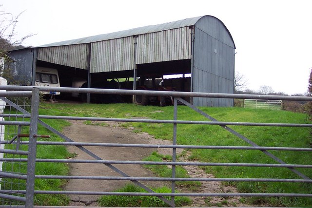
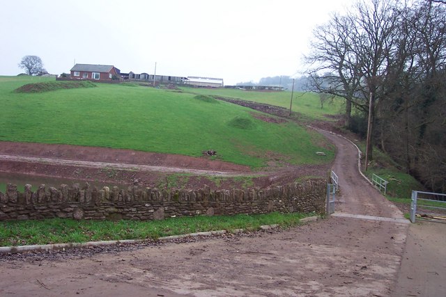
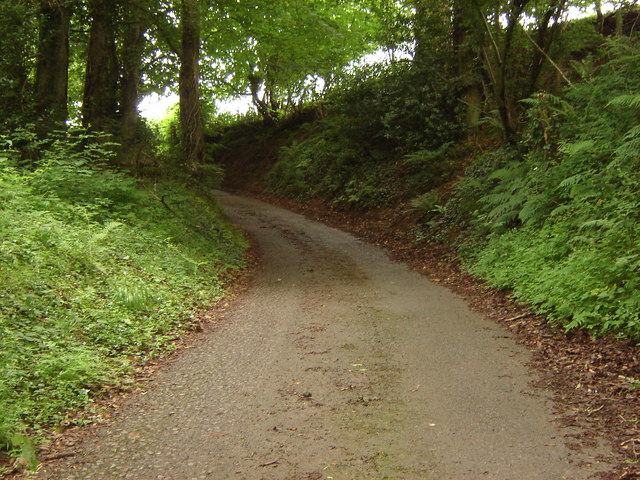
The hill is characterized by its gently sloping sides and is covered with a mixture of grassland and woodland. The lower slopes of Cefn Hill are primarily used for agricultural purposes, with fields and farmland dominating the landscape. As one ascends towards the summit, the vegetation transitions to a more dense woodland, providing a habitat for a variety of wildlife species.
Cefn Hill is a significant historical site, with evidence of Iron Age hillforts present on its slopes. These hillforts are believed to have been constructed between 500 BC and 100 BC, and are a testament to the area's rich historical heritage.
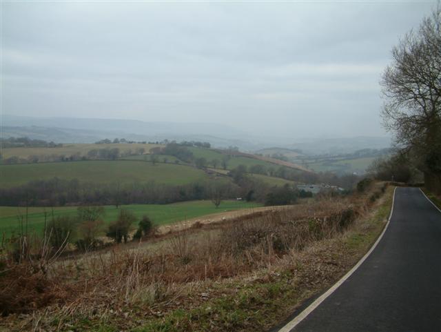
Due to its elevated position, Cefn Hill offers panoramic views of the surrounding Monmouthshire countryside, including the River Usk and the nearby Brecon Beacons National Park. On clear days, it is even possible to see as far as the Bristol Channel and the Severn Estuary.
With its combination of natural beauty, historical significance, and breathtaking views, Cefn Hill is a must-visit destination for anyone exploring the Monmouthshire area.
If you have any feedback on the listing, please let us know in the comments section below.
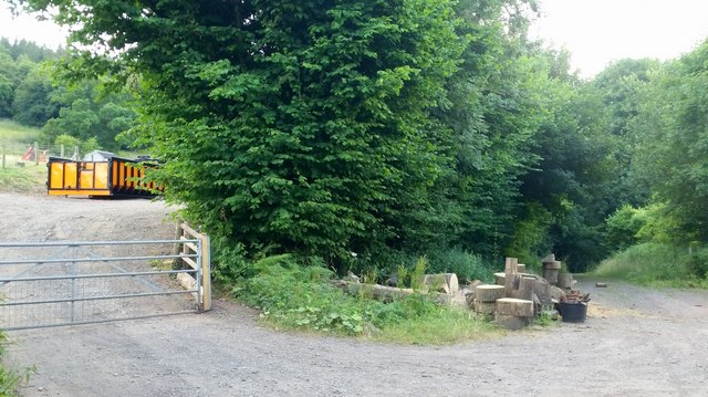
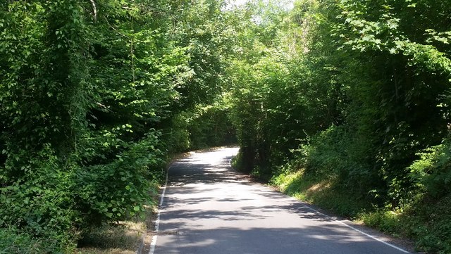
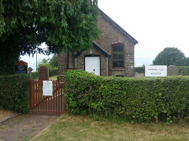
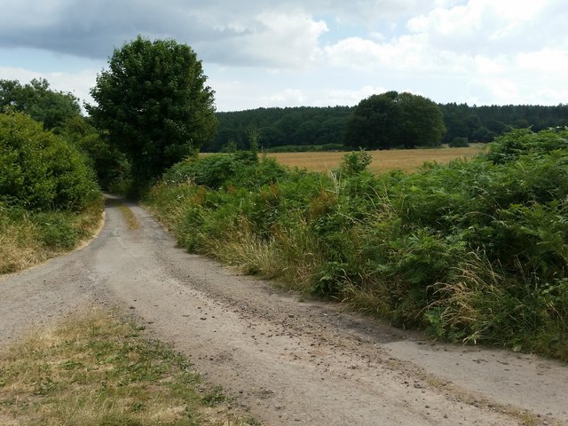
Cefn Hill Images
Images are sourced within 2km of 51.662679/-2.8672763 or Grid Reference ST4096. Thanks to Geograph Open Source API. All images are credited.


Cefn Hill is located at Grid Ref: ST4096 (Lat: 51.662679, Lng: -2.8672763)
Unitary Authority: Monmouthshire
Police Authority: Gwent
Also known as: Corn Hill
What 3 Words
///flipping.goad.electrode. Near Llangybi, Monmouthshire
Related Wikis

The Cwm, Llantrisant, Monmouthshire
The Cwm, Llantrisant, Monmouthshire is a farmhouse dating from the 16th century. Expanded in both the 17th and 18th centuries, The Cwm is a Grade II* listed...

Nantybanw, Llantrisant
Nantybanw, Llantrisant in Monmouthshire, Wales is a country house dating from 1625. The house is Grade II* listed and the associated farm buildings have...

Llantrisant, Monmouthshire
Llantrisant () is a village in Monmouthshire, south east Wales, United Kingdom. The community population at the 2011 census was 475. == Location == Llantrisant...
Church of St Peter, St Paul and St John, Llantrisant
The Church of St Peter, St Paul and St John, is the parish church of Llantrisant, Monmouthshire, Wales. Described by the architectural historian, John...

Pen-y-cae-mawr
Pen-y-cae-mawr is a small hamlet above the Wentwood Forest in Monmouthshire, Wales. It lies about 2 miles (3.2 km) east of Llantrisant. There are two farms...

Bertholey House
Bertholey House, is a country house near the village of Llantrisant, in Monmouthshire, Wales. A Tudor house originally stood on the site, the home of...

Llantrisant Fawr
Llantrisant Fawr is a community in Monmouthshire, Wales. Villages within the community include Llantrisant and Llanllowell. The community council has three...
Olway Brook
The Olway Brook (Welsh: Nant Olwy) is a left bank tributary of the River Usk in Monmouthshire in south Wales. Arising from the confluence of several brooks...
Related Videos

Bluebell and Woodland Photography with a Hasselblad 500c/m
Join me as I visit Wentwood Forrest here in South Wales to photography the annual Bluebell bloom. In this video I use my ...

Christmas Morning 2019 with Nelson
A sunny Christmas Morning walk in Wentwood Forest with Nelson.
Nearby Amenities
Located within 500m of 51.662679,-2.8672763Have you been to Cefn Hill?
Leave your review of Cefn Hill below (or comments, questions and feedback).