Cefn Coch
Hill, Mountain in Montgomeryshire
Wales
Cefn Coch
The requested URL returned error: 429 Too Many Requests
If you have any feedback on the listing, please let us know in the comments section below.
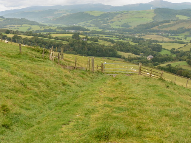
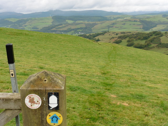
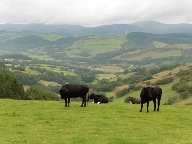
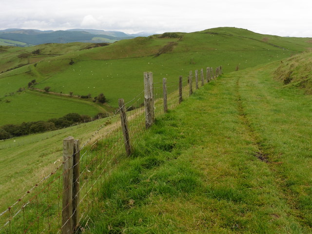
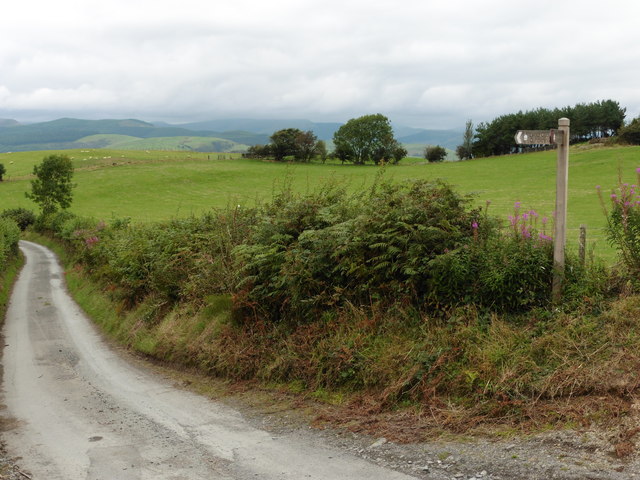
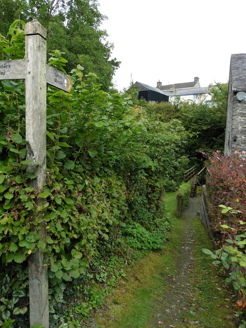
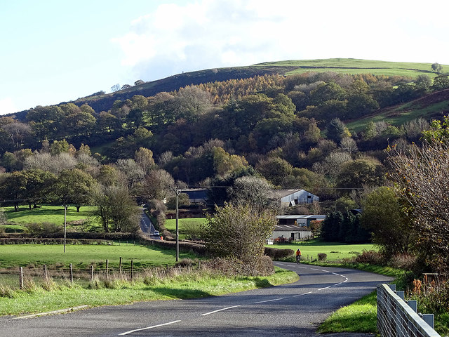
Cefn Coch Images
Images are sourced within 2km of 52.607837/-3.7507518 or Grid Reference SH8102. Thanks to Geograph Open Source API. All images are credited.


Cefn Coch is located at Grid Ref: SH8102 (Lat: 52.607837, Lng: -3.7507518)
Unitary Authority: Powys
Police Authority: Dyfed Powys
Also known as: Ffridd Esgair-yr-owen
What 3 Words
///fuel.contemplate.droplet. Near Cwm-Llinau, Powys
Nearby Locations
Related Wikis

Abercegir
Abercegir () is a small rural village in Powys, Wales. It lies approximately 4 miles east of the town of Machynlleth and is 81 miles (131 km) from Cardiff...

Afon Ceirig
The Afon Ceirig is a small river in Mid Wales. It flows from Esgair Llewelyn in the middle of the Dyfi Hills down to Mathafarn, north-west of Cemmaes Road...
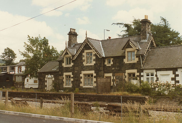
Cemmes Road railway station
Cemmes Road was a railway station on the Newtown and Machynlleth Railway (N&MR) in Mid-Wales, serving the village of Cemmaes Road. The N&MR passed through...
Abergwydol
Abergwydol () is a village in the Welsh principal area of Powys located on the A489 road between Cemmaes Road and Penegoes. It is part of the community...
Nearby Amenities
Located within 500m of 52.607837,-3.7507518Have you been to Cefn Coch?
Leave your review of Cefn Coch below (or comments, questions and feedback).