Brown How

Hill, Mountain in Cumberland Allerdale

England

Brown How

Forest below Widow Hause Lots of trees have been felled here allowing us to admire this lovely view.
Forest below Widow Hause Credit: steven ruffles

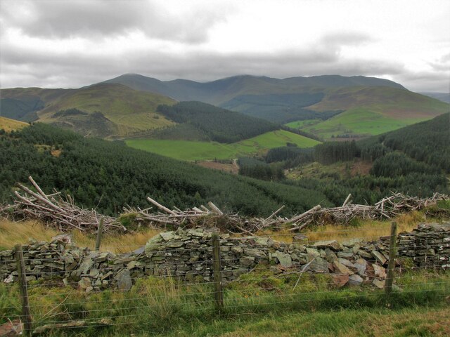
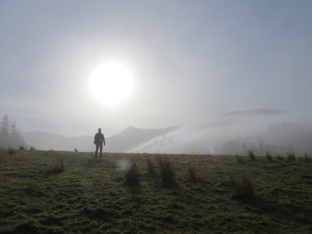
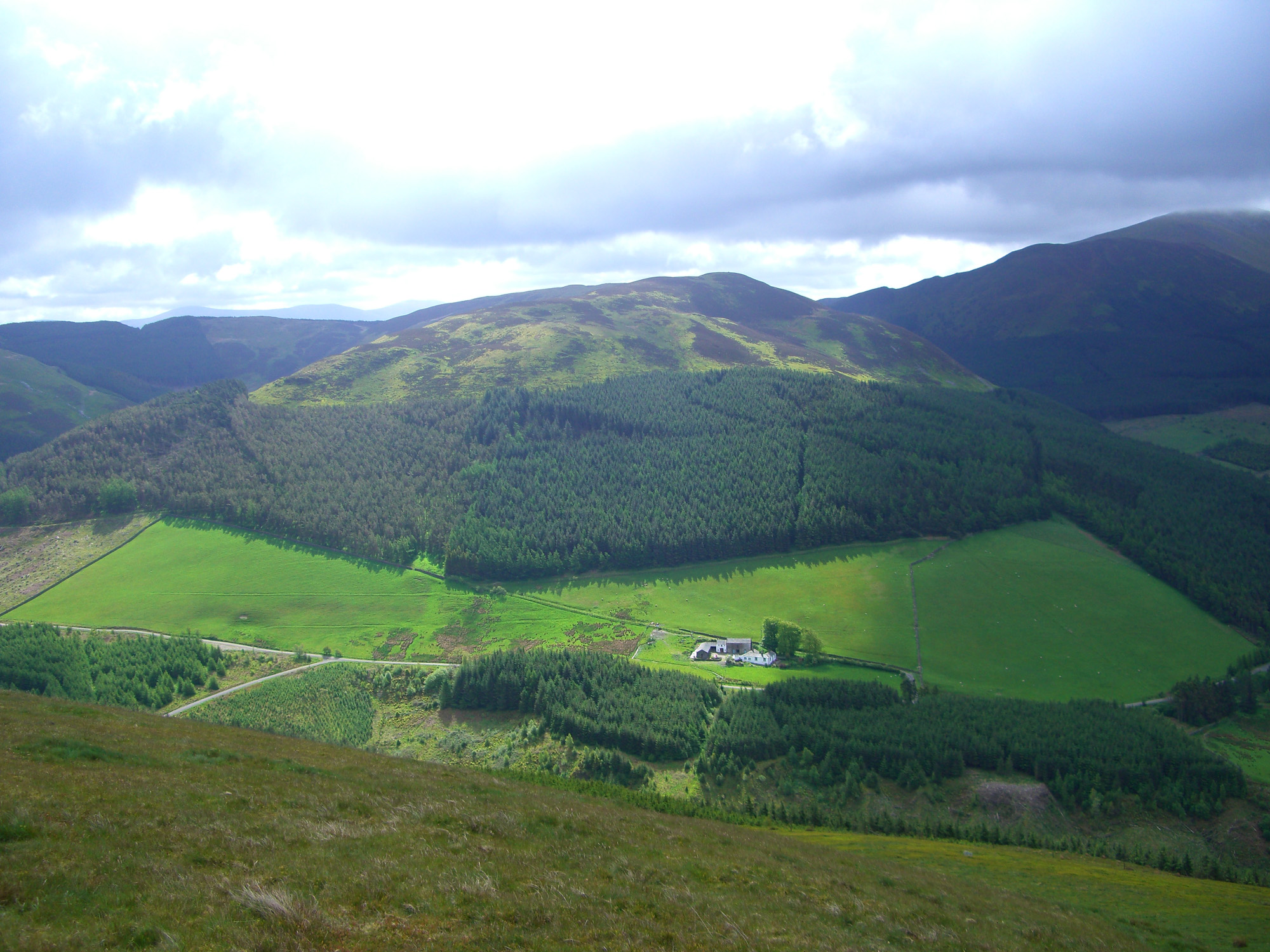
Brown How is a prominent hill located in the county of Cumberland, England. It is part of the Lake District National Park and stands at an elevation of approximately 420 meters (1,378 feet) above sea level. Situated near the village of Grasmere, Brown How offers breathtaking panoramic views of the surrounding landscape.

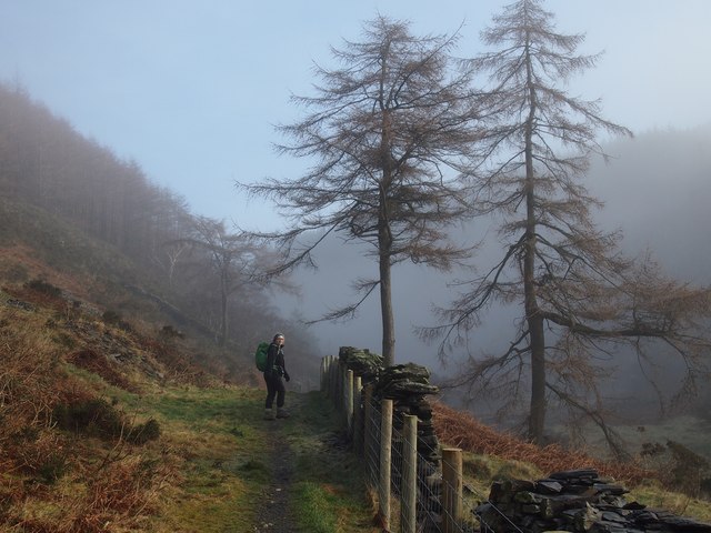
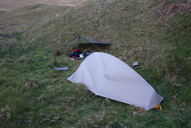
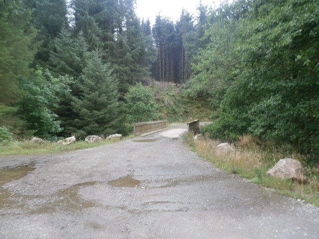
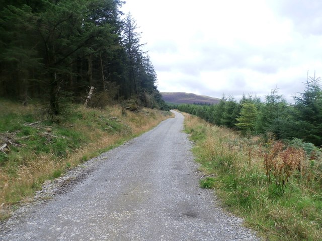
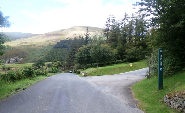
The hill is easily accessible and attracts hikers and tourists from all over the world. It is known for its well-maintained walking trails that cater to both experienced hikers and beginners. The ascent to the summit is relatively moderate, with a few steeper sections that require some level of fitness and agility.

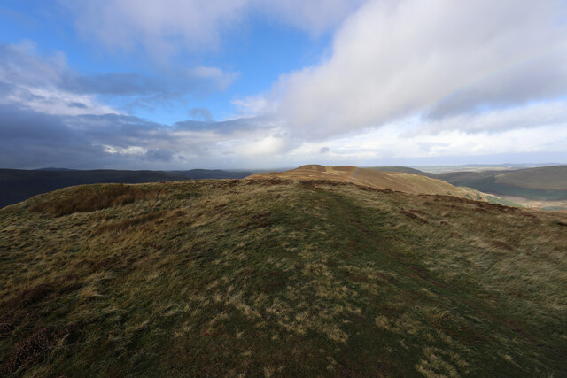
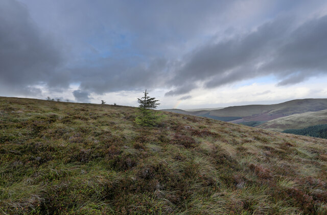
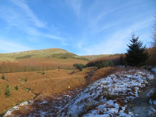
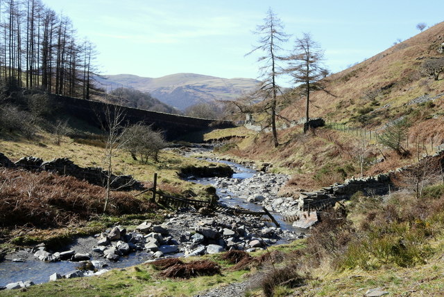
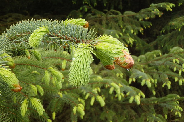
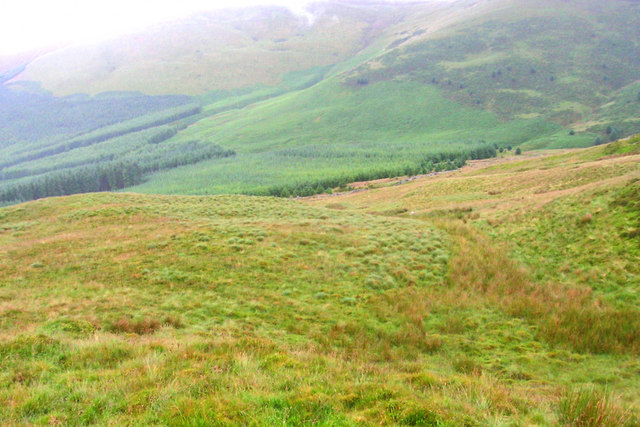
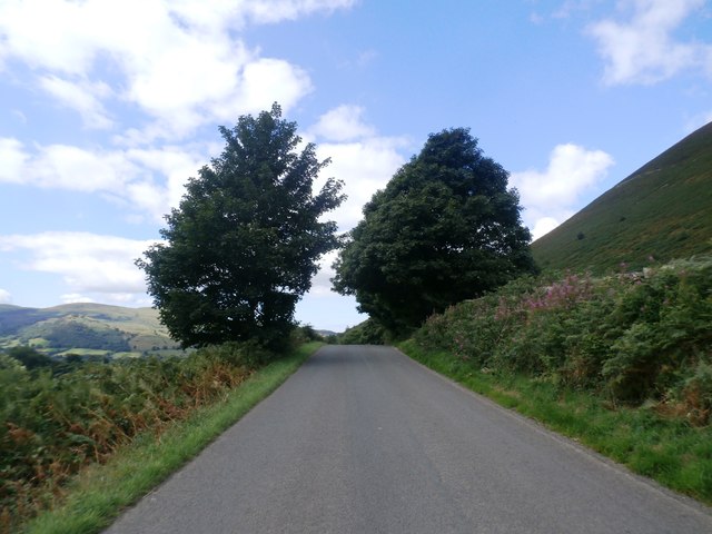
The hill is covered in lush green vegetation, including grasses, heather, and occasional patches of bracken. During the summer months, the slopes are adorned with colorful wildflowers, adding to the beauty of the landscape. The summit of Brown How provides an excellent vantage point to admire the nearby fells, valleys, and lakes that dot the region.

The hill is often visited as part of a larger circuit, including neighboring peaks such as Helm Crag and Steel Fell. It also serves as a starting point for longer hikes, including the famous Fairfield Horseshoe route.

Overall, Brown How offers a picturesque and rewarding outdoor experience for nature enthusiasts and hikers, with its stunning views, well-marked trails, and its location within the breathtaking Lake District National Park.

If you have any feedback on the listing, please let us know in the comments section below.

Brown How Images

Images are sourced within 2km of 54.614873/-3.2540244 or Grid Reference NY1925. Thanks to Geograph Open Source API. All images are credited.

Forest below Widow Hause Lots of trees have been felled here allowing us to admire this lovely view.
Forest below Widow Hause
Lots of trees have been felled here allowing us to admire this lovely view.
Whinlatter Top A remarkably well-trodden path leads to this rather undistinguished summit west of Whinlatter Forest, and we weren't the only visitors despite the increasingly unpleasant weather with winds rising towards gale force later in the day.
Whinlatter Top
A remarkably well-trodden path leads to this rather undistinguished summit west of Whinlatter Forest, and we weren't the only visitors despite the increasingly unpleasant weather with winds rising towards gale force later in the day.
Escapee trees on the shoulder of Whinlatter Top Although introduced plantation trees seed freely, they don't often establish among the sedges and grasses which are grazed by sheep as well as native wildlife. This one seems to be doing well, west of the forest, so it had the extra good fortune to have been blown here against the prevailing wind.
Escapee trees on the shoulder of Whinlatter Top
Although introduced plantation trees seed freely, they don't often establish among the sedges and grasses which are grazed by sheep as well as native wildlife. This one seems to be doing well, west of the forest, so it had the extra good fortune to have been blown here against the prevailing wind.
Dead trees on Ladyside Pike
Early morning mist above Whit Beck Start of a circular walk to Lord's Seat
Early morning mist above Whit Beck
Start of a circular walk to Lord's Seat
Misty morning
Misty morning
Aiken Plantation Looking towards Broom Fell
Aiken Plantation
Looking towards Broom Fell
And this is what it does for a dog.......Drama queen or what?. "One impulse from a vernal wood may teach you more of man, of moral evil and of good than all the sages can". William Wordsworth
And this is what it does for a dog.......Drama queen or what?.
"One impulse from a vernal wood may teach you more of man, of moral evil and of good than all the sages can". William Wordsworth
Scawgill bridge over Whit Beck Naked larch trees keep Scawgill bridge in the shade this early Spring day by Whit Beck.
Scawgill bridge over Whit Beck
Naked larch trees keep Scawgill bridge in the shade this early Spring day by Whit Beck.
Whit Beck flows under Scawgill Bridge It's early Spring and there's still solitude to be found in this most remarkable corner of the United Kingdom.
Whit Beck flows under Scawgill Bridge
It's early Spring and there's still solitude to be found in this most remarkable corner of the United Kingdom.
Tent and Tarp Another camp in this spot for me this time with my Big Agnes tent.
<span class="nowrap"><a title="https://youtu.be/vtjY8lK21_w" rel="nofollow ugc noopener" href="https://youtu.be/vtjY8lK21_w">Link</a><img style="margin-left:2px;" alt="External link" title="External link - shift click to open in new window" src="https://s1.geograph.org.uk/img/external.png" width="10" height="10"/></span>
Tent and Tarp
Another camp in this spot for me this time with my Big Agnes tent. LinkExternal link
Dripping Spruce Bud New buds on the pines are quite attractive
Dripping Spruce Bud
New buds on the pines are quite attractive
Below Todd Fell
Below Todd Fell
Bridge over Hobcarton Gill
Forestry Track in Hobcarton Plantation
Forestry Track at Hobcarton Plantation
The Entrance to Spout Force Car Park
The B5292 at Sware Gill
Show me another place!

Brown How is located at Grid Ref: NY1925 (Lat: 54.614873, Lng: -3.2540244)

Administrative County: Cumbria

District: Allerdale

Police Authority: Cumbria

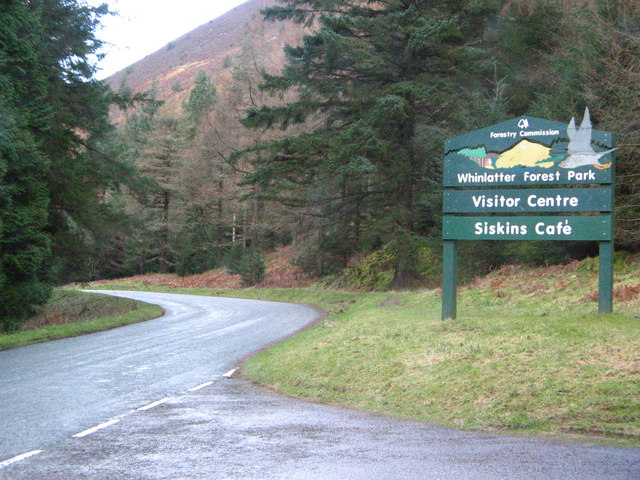
Also known as: Whinlatter

What 3 Words

///battle.springing.zoos. Near Keswick, Cumbria

Related Wikis

Whinlatter

Whinlatter is a small fell in the north west of the English Lake District, just north of the Whinlatter Pass. It is easily climbed from the top of the...

Whinlatter Pass

The Whinlatter Pass is a mountain pass in the Lake District in Cumbria, England. It is located on the B5292 road linking Braithwaite, to the west of Keswick...

Lorton, Cumbria

Lorton, a parish in Cumberland, Cumbria, England, consists of two adjacent villages: Low Lorton and High Lorton. Both nestle at the northern end of the...

Lord's Seat

Lord's Seat is a fell in the English Lake District. It is the highest of the group of hills north of Whinlatter Pass in the North Western Fells. The slopes...

Broom Fell

Broom Fell is a small hill in the English Lake District. It lies on a ridge connecting Lord's Seat and Graystones, but is rarely climbed. Alfred Wainwright...

Graystones

Graystones is a fell in the English Lake District. It lies in the North Western Fells region and is one of the peaks on the ridge which encircles the valley...

Grisedale Pike

Grisedale Pike is a fell in the Lake District, Cumbria, England, situated 4+1⁄2 miles (7 kilometres) west of the town of Keswick in the north-western sector...

Barf (Lake District)

Barf is a fell in the north-western Lake District in Cumbria, UK. It stands on the south-western shore of Bassenthwaite Lake. Barf is well known for a...

Nearby Amenities

Located within 500m of 54.614873,-3.2540244
Lorton Fells
Natural: fell
Source: npe
Lat/Long: 54.6141474/-3.2547775
Brown How
Ele: 517
Natural: peak
Lat/Long: 54.6148565/-3.2540441
Darling How
Place: locality
Lat/Long: 54.6122043/-3.252176
The data included in this document is from www.openstreetmap.org. The data is made available under ODbL.

Have you been to Brown How?

Leave your review of Brown How below (or comments, questions and feedback).