Broughton Heights
Hill, Mountain in Peeblesshire
Scotland
Broughton Heights
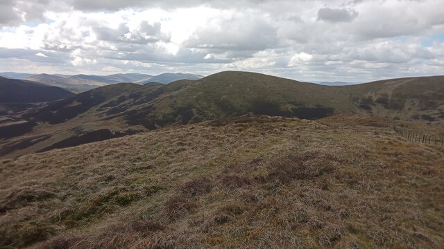
Broughton Heights is a prominent hill located in Peeblesshire, a historic county in the Scottish Borders region of Scotland. Rising to a height of approximately 645 meters (2,116 feet), it forms part of the Southern Uplands range and offers breathtaking panoramic views of the surrounding countryside.
Situated near the village of Broughton, the hill is a popular destination for outdoor enthusiasts and nature lovers alike. Its distinctive shape, with a gently sloping eastern side and a steep western face, makes it an ideal location for hiking, trekking, and hillwalking. The well-defined paths and trails that crisscross the hill allow visitors to explore its diverse terrain, which comprises heather-covered slopes, open moorland, and rocky outcrops.
The summit of Broughton Heights offers spectacular vistas in all directions. On clear days, one can see as far as the Pentland Hills to the north, the Moffat Hills to the southwest, and the rolling hills of the Scottish Borders. The hill also provides an excellent vantage point for observing local wildlife, including birds of prey such as buzzards and kestrels.
Broughton Heights holds historical significance as well. Ruins of an Iron Age hillfort can be found on its slopes, serving as a reminder of the area's rich past. The hill is often visited by archaeology enthusiasts and history buffs, who enjoy exploring the remains and imagining what life was like in ancient times.
In conclusion, Broughton Heights is a picturesque hill in Peeblesshire, Scotland, offering stunning views, diverse landscapes, and a glimpse into its historical past. It is a must-visit destination for those seeking outdoor adventure, natural beauty, and a sense of heritage.
If you have any feedback on the listing, please let us know in the comments section below.
Broughton Heights Images
Images are sourced within 2km of 55.655452/-3.3954504 or Grid Reference NT1241. Thanks to Geograph Open Source API. All images are credited.


Broughton Heights is located at Grid Ref: NT1241 (Lat: 55.655452, Lng: -3.3954504)
Unitary Authority: The Scottish Borders
Police Authority: The Lothians and Scottish Borders
Also known as: Pyked Stane Hill
What 3 Words
///functions.fortunes.impeached. Near Biggar, South Lanarkshire
Nearby Locations
Related Wikis

Kirkurd
Kirkurd is a parish in Peeblesshire in the Scottish Borders situated 3 miles south-east of Dolphinton and 6 miles north-east of Broughton. Tarth Water...
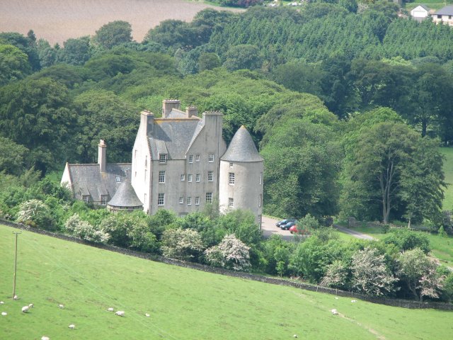
Castle Craig Hospital
Castle Craig Hospital is a private residential drug and alcohol rehabilitation clinic. It is located in Peeblesshire, Scotland. Castle Craig is an 18th...
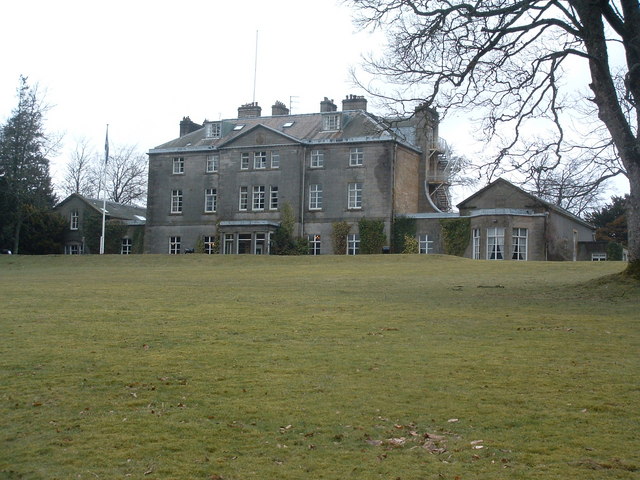
Broughton Place, Scottish Borders
Broughton Place is a historic house in the village of Broughton, Scottish Borders. It was designed by Basil Spence in the style of a 17th-century Scottish...
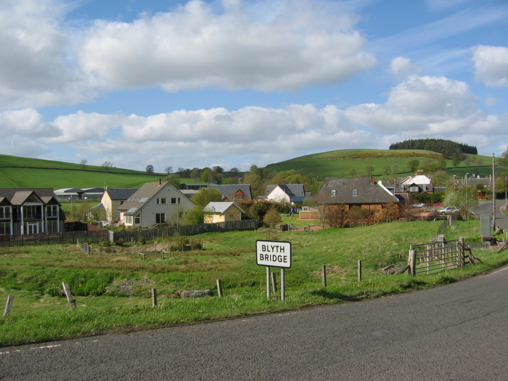
Blyth Bridge
Blyth Bridge is a small hamlet in the Scottish Borders area of Scotland, near to West Linton. It is located in a bend on the A701 which goes from Moffat...
Nearby Amenities
Located within 500m of 55.655452,-3.3954504Have you been to Broughton Heights?
Leave your review of Broughton Heights below (or comments, questions and feedback).