Boulsworth Hill

Hill, Mountain in Lancashire Pendle

England

Boulsworth Hill

Sheep hole in a dry stone wall blocked up with a garden gate
Sheep hole in a dry stone wall blocked up with a garden gate Credit: shikari

The requested URL returned error: 429 Too Many Requests

If you have any feedback on the listing, please let us know in the comments section below.

Boulsworth Hill Images

Images are sourced within 2km of 53.816901/-2.108258 or Grid Reference SD9235. Thanks to Geograph Open Source API. All images are credited.

Sheep hole in a dry stone wall blocked up with a garden gate
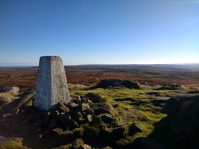
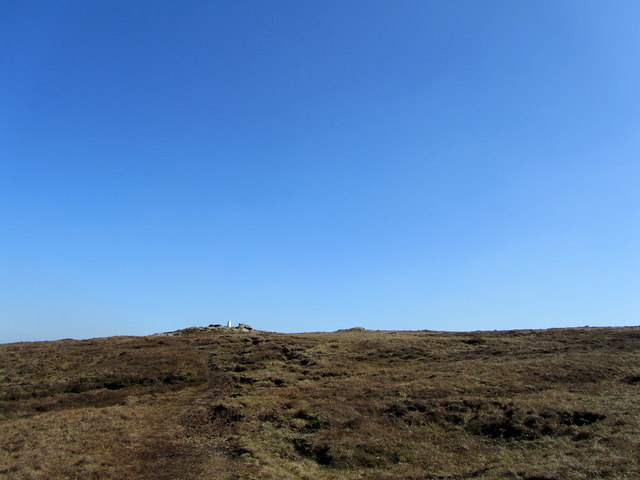
Looking south across the trig point on Lad Law
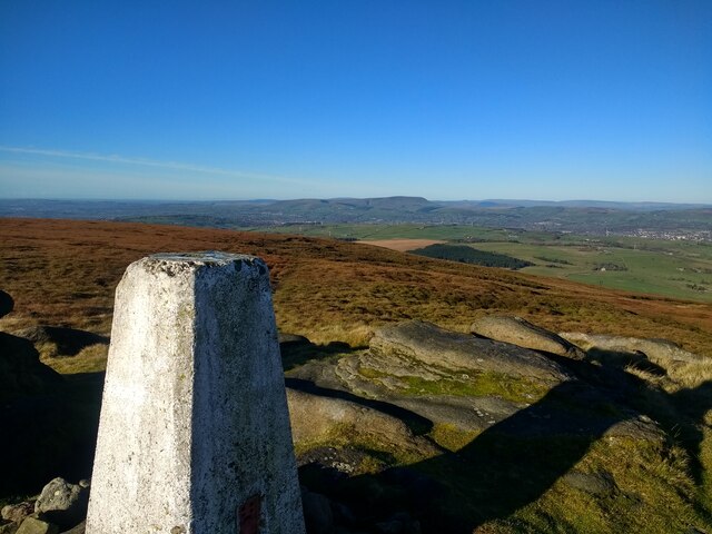
Looking northwest across the trig point on Lad Law towards Pendle Hill
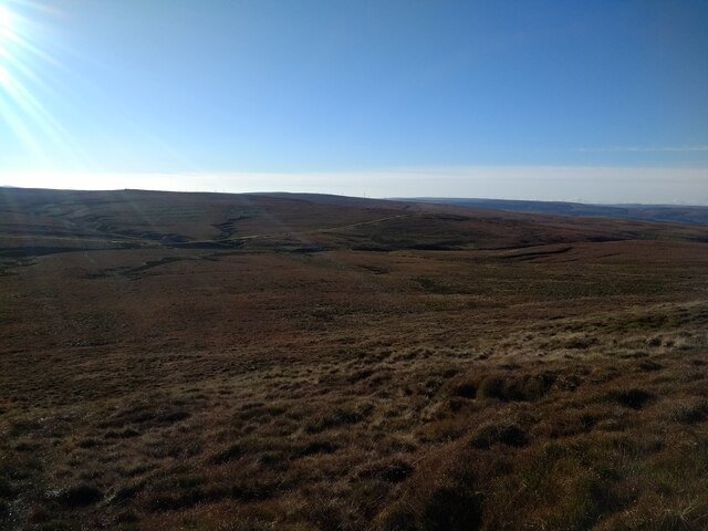
Looking south across the valley from just south of the top of Lad Law
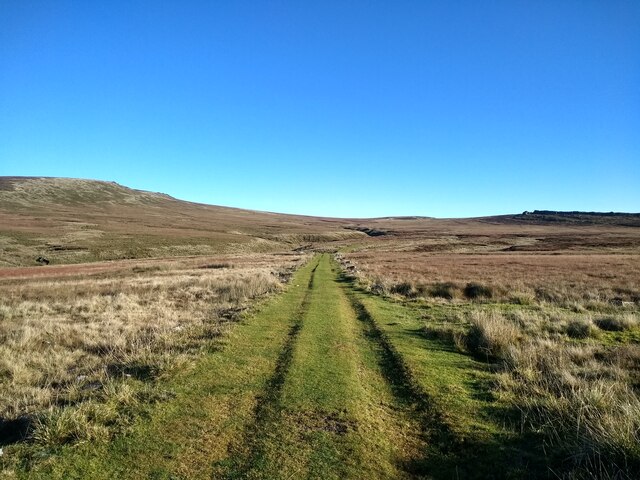
Looking down the track between Lad Law and Grey Stone Hill
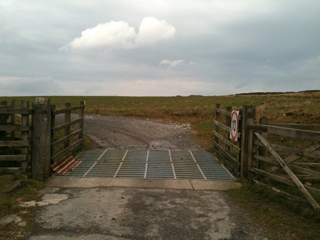
Cattle grid on the track to Beaver
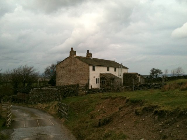
Cottages at Beaver
Cottages at Beaver
Bridleway junction near Beaver
Cut bench mark on gatepost near Beaver Farm
Helpful sign at Lumb Laithe Farm
Cut bench mark on the house at Boulsworth Dyke Farm
Barn west of Boulsworth Dyke Impressive that the builder would go to the trouble of adding the decorative 'shelter' over the door
Barn west of Boulsworth Dyke
Impressive that the builder would go to the trouble of adding the decorative 'shelter' over the door
OS rivet on the stile near Antley Gate
Location of the stile in photo 2755607 Looking NE towards Boulsworth Dyke Farm
Location of the stile in photo 2755607
Looking NE towards Boulsworth Dyke Farm
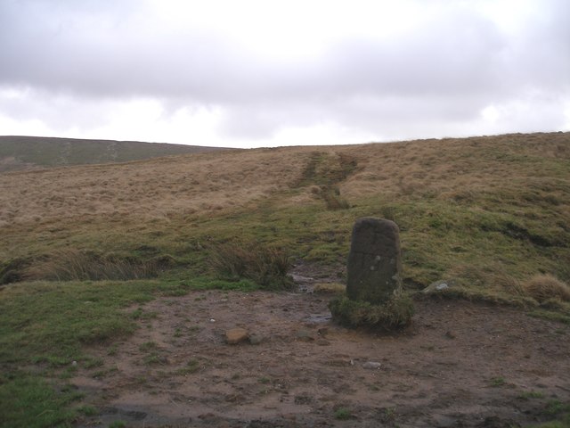
Boundary stone on Will Moor
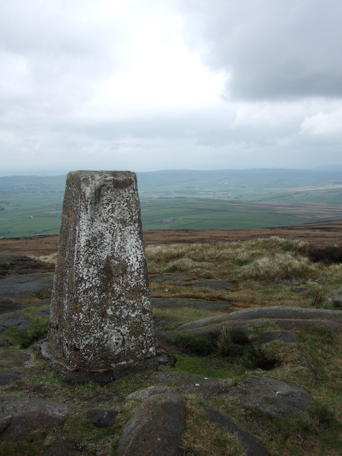
Trig point at Lad  Law, looking north
Trig point at Lad Law, looking north
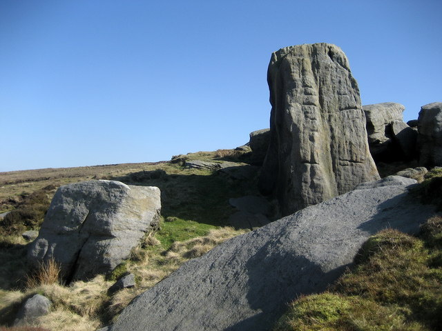
Abbot Stone Abbot Stone on Bedding Hill Moor is the first objective on the ascent of Boulsworth Hill on the concessionary path from the Pennine Bridleway - if one elects to walk the route anti clockwise.
Abbot Stone
Abbot Stone on Bedding Hill Moor is the first objective on the ascent of Boulsworth Hill on the concessionary path from the Pennine Bridleway - if one elects to walk the route anti clockwise.
Approaching Lad Law Approaching the south western end of Boulsworth Hill, the trig point on Lad Law.
Approaching Lad Law
Approaching the south western end of Boulsworth Hill, the trig point on Lad Law.
Show me another place!

Boulsworth Hill is located at Grid Ref: SD9235 (Lat: 53.816901, Lng: -2.108258)

Administrative County: Lancashire

District: Pendle

Police Authority: Lancashire

Also known as: Lad Law

What 3 Words

///bravery.doubt.hurls. Near Colne, Lancashire

Nearby Locations

Boulsworth Hill Lad Law

Related Wikis

Boulsworth Hill

Boulsworth Hill is a large expanse of moorland, the highest point of the South Pennines of south-eastern Lancashire, England, separating the Borough of...

Trawden Brook

Trawden Brook is a minor river in Lancashire, England. It is 3.48 miles (5.6 km) long and has a catchment area of 4.40 square miles (11.4 km2).Rising on...

Trawden

Trawden is a village in the Trawden Forest parish of Pendle, at the foot of Boulsworth Hill, in Lancashire, England. The village co-operatively owns and...

Trawden Forest

Trawden Forest is a civil parish in the Pendle district of Lancashire, England. It has a population of 2,765, and contains the village of Trawden (formerly...

Nearby Amenities

Located within 500m of 53.816901,-2.108258
Lad Law (Boulsworth Hill)
Ele: 518
Natural: peak
Source: npe
Source Ele: height in feet (1700) from npe, converted to metres
Wikidata: Q4949732
Wikipedia: en:Boulsworth Hill
Lat/Long: 53.8167517/-2.1084186
Lad Law
Ele: 518
Man Made: survey_point
Lat/Long: 53.816914/-2.1081956
The data included in this document is from www.openstreetmap.org. The data is made available under ODbL.

Have you been to Boulsworth Hill?

Leave your review of Boulsworth Hill below (or comments, questions and feedback).