Blorens

Hill, Mountain in Monmouthshire

Wales

Blorens

Carn y Defaid On the broad ridge of Mynydd y Garn Fawr.  The cairn - its centre is hollowed like a dish - is composed of the same rough gritstone that is strewn around the slopes of this hill, making for rough going underfoot.  It is one of a pair of Bronze Age burial mounds. ('defaid' = 'sheep')
Carn y Defaid Credit: Alan Bowring

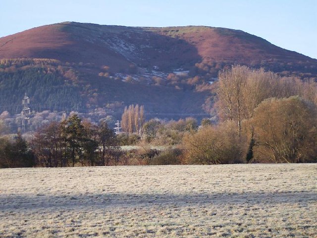
Blorens is a prominent hill located in the county of Monmouthshire, Wales. Rising to an elevation of approximately 468 meters (1,535 feet), it is considered one of the most notable peaks in the region. Situated within the Brecon Beacons National Park, Blorens offers breathtaking panoramic views of the surrounding countryside.

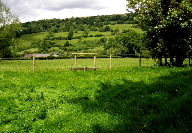
The hill is characterized by its rugged terrain and diverse flora and fauna. Visitors to Blorens can expect to encounter a variety of plant species, including heather, gorse, and grasses, which contribute to the hill's vibrant landscape. The area is also home to several bird species, such as red kites and peregrine falcons, making it a popular destination for birdwatchers.

Access to Blorens is relatively straightforward, with various footpaths and trails available for hikers and outdoor enthusiasts. The hill's proximity to nearby towns and villages, such as Abergavenny and Crickhowell, further facilitates access for visitors looking to explore the area.

Blorens is a popular destination for outdoor activities, including hillwalking, hiking, and nature photography. Its commanding position within the national park ensures that visitors are rewarded with breathtaking views, particularly during sunrise and sunset.

Overall, Blorens in Monmouthshire offers a unique opportunity for nature lovers and adventurers to immerse themselves in the stunning Welsh countryside, while also enjoying the rich biodiversity and natural beauty of the surrounding area.

If you have any feedback on the listing, please let us know in the comments section below.
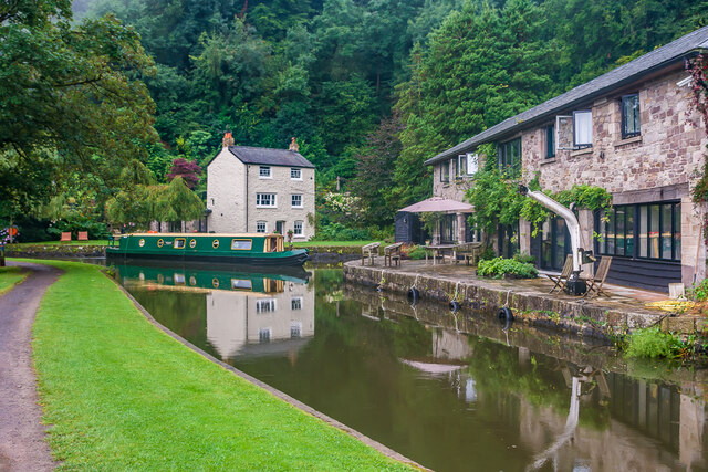
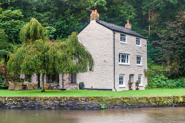
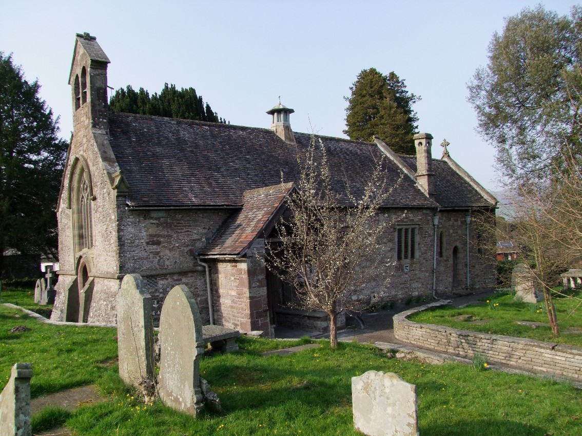
Blorens Images

Images are sourced within 2km of 51.800635/-3.0600897 or Grid Reference SO2611. Thanks to Geograph Open Source API. All images are credited.

Carn y Defaid On the broad ridge of Mynydd y Garn Fawr.  The cairn - its centre is hollowed like a dish - is composed of the same rough gritstone that is strewn around the slopes of this hill, making for rough going underfoot.  It is one of a pair of Bronze Age burial mounds. ('defaid' = 'sheep')
Carn y Defaid
On the broad ridge of Mynydd y Garn Fawr. The cairn - its centre is hollowed like a dish - is composed of the same rough gritstone that is strewn around the slopes of this hill, making for rough going underfoot. It is one of a pair of Bronze Age burial mounds. ('defaid' = 'sheep')
Pen-ffordd-goch Pond Walkers walking beside Pen-ffordd-goch Pond on Blorenge.  The prominent hill in the distance is Sugar Loaf.
Pen-ffordd-goch Pond
Walkers walking beside Pen-ffordd-goch Pond on Blorenge. The prominent hill in the distance is Sugar Loaf.
Pen-ffordd-goch Pond View over Pen-ffordd-goch Pond with the Black Mountains and Sugar Loaf in the distance.
Pen-ffordd-goch Pond
View over Pen-ffordd-goch Pond with the Black Mountains and Sugar Loaf in the distance.
Pen-ffordd-goch Pond Pen-ffordd-goch Pond on Blorenge with the Black Mountains in the distance.
Pen-ffordd-goch Pond
Pen-ffordd-goch Pond on Blorenge with the Black Mountains in the distance.
The Usk valley The Usk valley viewed from the B4246 above Govilon.  The Black Mountains can be seen in the distance.
The Usk valley
The Usk valley viewed from the B4246 above Govilon. The Black Mountains can be seen in the distance.
View to Sugar Loaf View across the Usk Valley to Sugar Loaf from the B4246 with Govilon.
View to Sugar Loaf
View across the Usk Valley to Sugar Loaf from the B4246 with Govilon.
Barrier on a track Barrier on a track and footpath off the B4246 above Govilon.
Barrier on a track
Barrier on a track and footpath off the B4246 above Govilon.
The B4246 on Blorenge The B4246 ascending Blorenge with a view over the Usk valley with Sugar Loaf in the background.
The B4246 on Blorenge
The B4246 ascending Blorenge with a view over the Usk valley with Sugar Loaf in the background.
View of Carrig Gywir View across the valley to Carrig Gywir from the B4246 ascending Blorenge.
View of Carrig Gywir
View across the valley to Carrig Gywir from the B4246 ascending Blorenge.
The Usk valley The Usk valley viewed from the B4246.  The Black Mountains can be seen in the background.
The Usk valley
The Usk valley viewed from the B4246. The Black Mountains can be seen in the background.
View to Cerrig Gywir View to Cerrig Gywir from the B4246 on Blorenge.
View to Cerrig Gywir
View to Cerrig Gywir from the B4246 on Blorenge.
View to Sugar Loaf View to Sugar Loaf from beside the B4246 on Blorenge.
View to Sugar Loaf
View to Sugar Loaf from beside the B4246 on Blorenge.
The B4246 on Blorenge The B4246 on Blorenge with Sugar Loaf seen in the distance across the Usk valley.
The B4246 on Blorenge
The B4246 on Blorenge with Sugar Loaf seen in the distance across the Usk valley.
Above the Tumble on Blorenge Above the Tumble on Blorenge with a view over the Usk valley to the Black Mountains in the background.
Above the Tumble on Blorenge
Above the Tumble on Blorenge with a view over the Usk valley to the Black Mountains in the background.
The B4246 above the Tumble The B4246 above the Tumble above Blaenavon with Sugar Loaf in the distance.
The B4246 above the Tumble
The B4246 above the Tumble above Blaenavon with Sugar Loaf in the distance.
View to the Black Mountains View to the Black Mountains from the B4246 on the pass above Blaenavon.
View to the Black Mountains
View to the Black Mountains from the B4246 on the pass above Blaenavon.
Llanfoist Wharf Wharf on the Monmouthshire and Brecon Canal at Llanfoist.  On the right is the Boathouse and in the background is Boathouse Cottage.  Both date from the early 19th Century, the former as a warehouse and the latter as a wharfinger's house, and both are grade II listed - see <span class="nowrap"><a title="http://cadwpublic-api.azurewebsites.net/reports/listedbuilding/FullReport?lang=en&id=2728" rel="nofollow ugc noopener" href="http://cadwpublic-api.azurewebsites.net/reports/listedbuilding/FullReport?lang=en&id=2728">Link</a><img style="margin-left:2px;" alt="External link" title="External link - shift click to open in new window" src="https://s1.geograph.org.uk/img/external.png" width="10" height="10"/></span> and <span class="nowrap"><a title="http://cadwpublic-api.azurewebsites.net/reports/listedbuilding/FullReport?lang=en&id=17235" rel="nofollow ugc noopener" href="http://cadwpublic-api.azurewebsites.net/reports/listedbuilding/FullReport?lang=en&id=17235">Link</a><img style="margin-left:2px;" alt="External link" title="External link - shift click to open in new window" src="https://s1.geograph.org.uk/img/external.png" width="10" height="10"/></span> respectively.
Llanfoist Wharf
Wharf on the Monmouthshire and Brecon Canal at Llanfoist. On the right is the Boathouse and in the background is Boathouse Cottage. Both date from the early 19th Century, the former as a warehouse and the latter as a wharfinger's house, and both are grade II listed - see LinkExternal link and LinkExternal link respectively.
Llanfoist Wharf Wharf on the Monmouthshire and Brecon Canal at Llanfoist, with Boathouse Cottage on its bank.  This dates from the early 19th Century and was built as a wharfinger's house.  It is grade II listed - see <span class="nowrap"><a title="http://cadwpublic-api.azurewebsites.net/reports/listedbuilding/FullReport?lang=en&id=17235" rel="nofollow ugc noopener" href="http://cadwpublic-api.azurewebsites.net/reports/listedbuilding/FullReport?lang=en&id=17235">Link</a><img style="margin-left:2px;" alt="External link" title="External link - shift click to open in new window" src="https://s1.geograph.org.uk/img/external.png" width="10" height="10"/></span>.
Llanfoist Wharf
Wharf on the Monmouthshire and Brecon Canal at Llanfoist, with Boathouse Cottage on its bank. This dates from the early 19th Century and was built as a wharfinger's house. It is grade II listed - see LinkExternal link.
Show me another place!

Blorens is located at Grid Ref: SO2611 (Lat: 51.800635, Lng: -3.0600897)

Unitary Authority: Monmouthshire

Police Authority: Gwent

Also known as: Blorenge

What 3 Words

///giant.achieving.essays. Near Govilon, Monmouthshire

Related Wikis

Blorenge

Blorenge, also called The Blorenge (; Welsh: Blorens), is a prominent hill overlooking the valley of the River Usk near Abergavenny, Monmouthshire, southeast...

Garnddyrys Forge

Garnddyrys Forge was an iron foundry in Wales that operated from about 1817 to 1860 about 3 km (2 miles) north of Blaenavon in Wales, lying on a tramroad...

Llanwenarth Ultra

Llanwenarth Ultra is an electoral ward near Abergavenny, Monmouthshire. The ward elects councillors to Llanfoist Fawr Community Council and Monmouthshire...

Govilon railway station

Govilon railway station was a station on the London and North Western Railway's Heads of the Valleys line serving the village of Govilon in the Welsh county...

Govilon

Govilon (Welsh: Gofilon) is a small Welsh village located between Llanfoist and Gilwern near Abergavenny in north Monmouthshire. It is part of the community...

Llanwenarth Baptist Chapel

Llanwenarth Baptist Chapel, Govilon, Monmouthshire is the oldest Baptist chapel in Wales. Founded in 1652, the present building was constructed in 1695...

Llanwenarth

Llanwenarth is a small village and parish in the Usk Valley of Monmouthshire, south-east Wales, United Kingdom. It is in the community of Llanfoist Fawr...

Llanfoist

Llanfoist (Welsh: Llan-ffwyst) is a village near Abergavenny, in Monmouthshire, Wales, in the community of Llanfoist Fawr. Llanfoist derives from Ffwyst...

Nearby Amenities

Located within 500m of 51.800635,-3.0600897
The Blorenge
Ele: 561
Natural: peak
Source: NPE
Source Ele: Wikipedia
Wikidata: Q276057
Lat/Long: 51.8006973/-3.0599785
Man Made: survey_point
Lat/Long: 51.8004674/-3.0602399
Shelter
Bench: no
Bin: no
Shelter Type: rock_shelter
Lat/Long: 51.8006088/-3.0601767
Information: route_marker
Material: wood
Tourism: information
Lat/Long: 51.8032785/-3.0542162
Information: route_marker
Material: wood
Tourism: information
Lat/Long: 51.8022894/-3.0564
Information: route_marker
Tourism: information
Lat/Long: 51.799577/-3.0621813
The data included in this document is from www.openstreetmap.org. The data is made available under ODbL.

Have you been to Blorens?

Leave your review of Blorens below (or comments, questions and feedback).