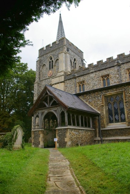
Kneesworth

Settlement in Cambridgeshire South Cambridgeshire

England

Kneesworth

Bassingbourn, SS Peter and Paul <span class="nowrap"><a title="http://www.druidic.org/camchurch/churches/bassingbourn.htm" rel="nofollow ugc noopener" href="http://www.druidic.org/camchurch/churches/bassingbourn.htm">Link</a><img style="margin-left:2px;" alt="External link" title="External link - shift click to open in new window" src="https://s1.geograph.org.uk/img/external.png" width="10" height="10"/></span>
Bassingbourn, SS Peter and Paul Credit: mym

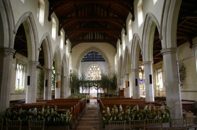
Kneesworth is a small village located in Cambridgeshire, England. Situated approximately 10 miles southwest of the city of Cambridge, it falls within the district of South Cambridgeshire. The village is nestled amidst beautiful countryside, offering a peaceful and picturesque setting for its residents.

The origins of Kneesworth can be traced back to the Domesday Book of 1086, where it is recorded as "Chenesworde." Throughout its history, the village has primarily been an agricultural community, with farming playing a significant role in its economy.

Today, Kneesworth retains its rural charm while also benefiting from its proximity to Cambridge. The village is well-connected by road, with the A1198 passing through it, providing easy access to neighboring towns and cities. Additionally, the nearby train stations of Royston and Ashwell & Morden offer convenient rail links to London and other major cities.

Despite its small size, Kneesworth boasts a close-knit community with a range of amenities. These include a village hall, a local pub, and a primary school, catering to the needs of its residents. The surrounding countryside offers ample opportunities for outdoor activities, such as walking, cycling, and horse riding, making it an attractive location for nature enthusiasts.

In summary, Kneesworth is a charming village in Cambridgeshire, known for its rural beauty, strong sense of community, and convenient location. It offers a tranquil lifestyle while also being within reach of the bustling city of Cambridge.

If you have any feedback on the listing, please let us know in the comments section below.
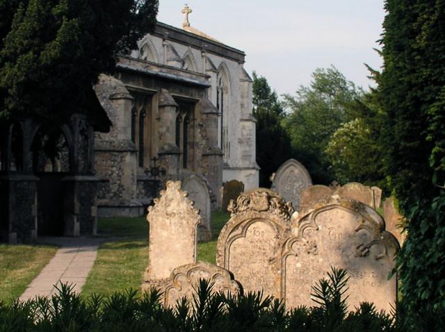
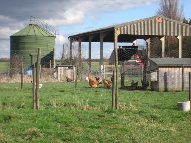
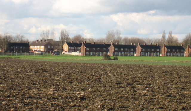
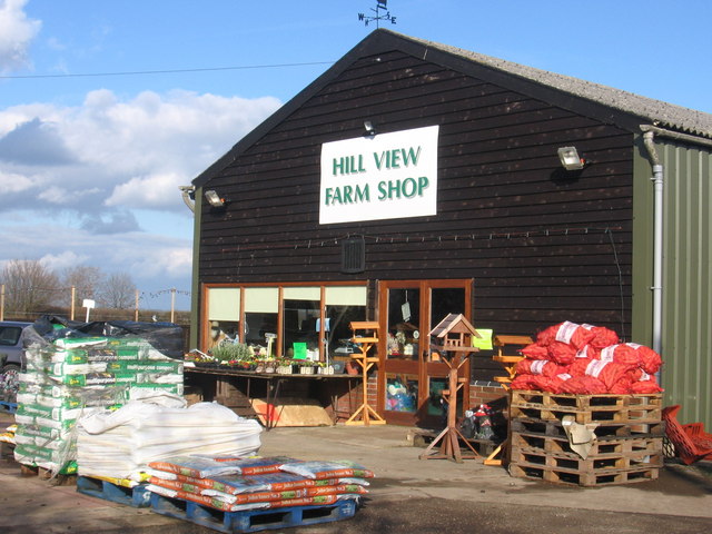
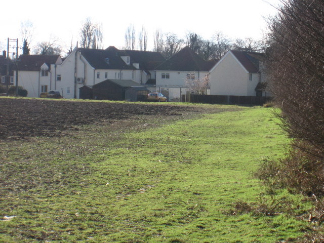
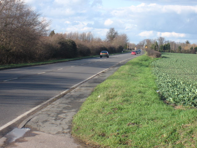
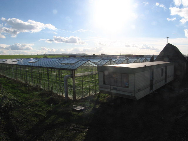
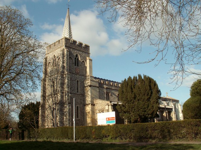
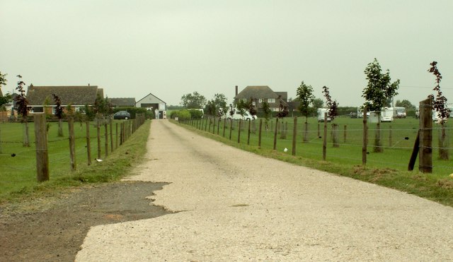
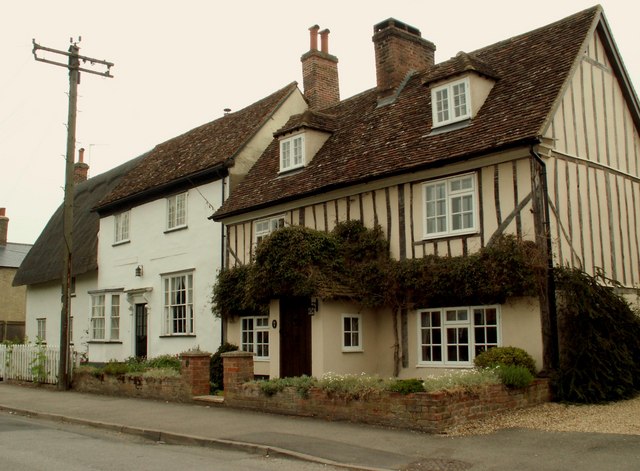
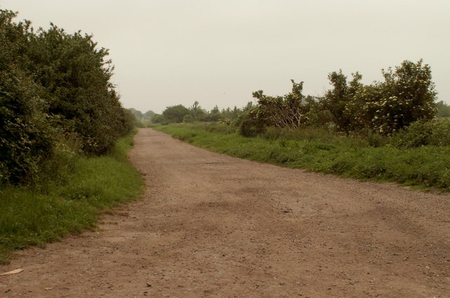
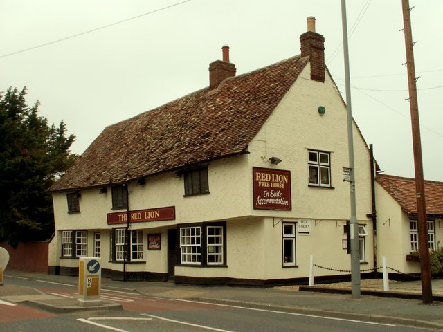
Kneesworth Images

Images are sourced within 2km of 52.082481/-0.038544 or Grid Reference TL3444. Thanks to Geograph Open Source API. All images are credited.

Bassingbourn, SS Peter and Paul <span class="nowrap"><a title="http://www.druidic.org/camchurch/churches/bassingbourn.htm" rel="nofollow ugc noopener" href="http://www.druidic.org/camchurch/churches/bassingbourn.htm">Link</a><img style="margin-left:2px;" alt="External link" title="External link - shift click to open in new window" src="https://s1.geograph.org.uk/img/external.png" width="10" height="10"/></span>
Bassingbourn, SS Peter and Paul
On Parade A passing-out parade at Bassingbourne army base, near Royston, Herts.
On Parade
A passing-out parade at Bassingbourne army base, near Royston, Herts.
Fountain Farm at Dyer's Green
Bassingbourn Barracks Since Bassingbourn RAF base closed the barracks are no longer used to house armed forces personnel, and many of the houses have been sold on the open market
Bassingbourn Barracks
Since Bassingbourn RAF base closed the barracks are no longer used to house armed forces personnel, and many of the houses have been sold on the open market
Farm shop in Bassingbourn-cum-Kneesworth
Nurses' houses behind Kneesworth House Hospital
Bassingbourn Road (A1198) Looking north along the A1198 from Turnpike Nursery
Bassingbourn Road (A1198)
Looking north along the A1198 from Turnpike Nursery
Greenhouses at Turnpike Nursery
St. Peter & St. Paul's church at Bassingbourn A very attractive church that sits close to the side of the road at the heart of the village. The tower was rebuilt in 1879 and most of the rest of the church is 14th century.
St. Peter & St. Paul's church at Bassingbourn
A very attractive church that sits close to the side of the road at the heart of the village. The tower was rebuilt in 1879 and most of the rest of the church is 14th century.
A farm track across a field near Meldreth This is the view from Kneesworth Road.
A farm track across a field near Meldreth
This is the view from Kneesworth Road.
The approach to Highfield Farm
Old houses in Bassingbourn These houses stand on a road called South End.
Old houses in Bassingbourn
These houses stand on a road called South End.
Public Byway - Part of the Icknield Way Path
'The Red Lion' inn This old timber-framed inn stands along the old Roman road called Ermine Street.
'The Red Lion' inn
This old timber-framed inn stands along the old Roman road called Ermine Street.
Church of SS Peter & Paul The west tower with its recessed lead spire was rebuilt in 1879. Pevsner comments that the large timber porch is an unusual feature for Cambridgeshire.  See also <a href="https://www.geograph.org.uk/photo/913959">TL3344 : Interior of SS Peter & Paul, Bassingbourn</a>.
Church of SS Peter & Paul
The west tower with its recessed lead spire was rebuilt in 1879. Pevsner comments that the large timber porch is an unusual feature for Cambridgeshire. See also TL3344 : Interior of SS Peter & Paul, Bassingbourn.
Interior of SS Peter & Paul, Bassingbourn The church has been decorated for a wedding.
Interior of SS Peter & Paul, Bassingbourn
The church has been decorated for a wedding.
SS Peter & Paul - detail of rood screen The colourful screen has Perpendicular tracery and an openwork dado.
SS Peter & Paul - detail of rood screen
The colourful screen has Perpendicular tracery and an openwork dado.
Church Hall A pretty little building in minimal Gothic style, opposite the church of SS Peter & Paul.
Church Hall
A pretty little building in minimal Gothic style, opposite the church of SS Peter & Paul.
Show me another place!

Kneesworth is located at Grid Ref: TL3444 (Lat: 52.082481, Lng: -0.038544)

Administrative County: Cambridgeshire

District: South Cambridgeshire

Police Authority: Cambridgeshire

What 3 Words

///shins.thrashed.speaks. Near Bassingbourn, Cambridgeshire

Nearby Locations

Kneesworth

Related Wikis

Ford Wood

Ford Wood is a woodland in Cambridgeshire, England, near Bassingbourn. It covers a total area of 2.34 hectares (5.78 acres). It is owned and managed by...

Bassingbourn cum Kneesworth

Bassingbourn cum Kneesworth is a civil parish in the South Cambridgeshire district of Cambridgeshire, England, 14 miles south-west of Cambridge and just...

Bassingbourn Barracks

Bassingbourn Barracks is a Ministry of Defence installation located 3.2 miles (5.1 km) north of Royston, Hertfordshire and 10.6 miles (17.1 km) southwest...

Bassingbourn Village College

Bassingbourn Village College is an academy school in Bassingbourn, just across the Cambridgeshire border from Royston, Hertfordshire. It currently has...

Nearby Amenities

Located within 500m of 52.082481,-0.038544
Mini Roundabout
Direction: clockwise
Lat/Long: 52.0822017/-0.038769
Mini Roundabout
Direction: clockwise
Lat/Long: 52.0819315/-0.0385861
Restaurant
Yuva
Cuisine: indian
Source Name: dictaphone
Lat/Long: 52.0810808/-0.037761
Hill View Farm
Landuse: farm
Note Retag: CS #48756035
Lat/Long: 52.0815453/-0.03401
Post Box
Ref: SG8 285
Lat/Long: 52.0807808/-0.0381057
Bus Stop
Orchard Close
Naptan AtcoCode: 0500SBASS001
Naptan Bearing: NE
Naptan CommonName: Orchard Close
Naptan Indicator: near
Naptan Landmark: Orchard Close
Naptan NaptanCode: cmbdtpmd
Naptan Street: The Causeway
Naptan Verified: no
Source: naptan_import
Lat/Long: 52.0810551/-0.0431395
Bus Stop
Orchard Close
Fixme: Bus routes 27, 127 and 15 stop here.
Naptan AtcoCode: 0500SBASS005
Naptan Bearing: SW
Naptan CommonName: Orchard Close
Naptan Indicator: opp
Naptan Landmark: Orchard Close
Naptan NaptanCode: cmbdtpmt
Naptan Street: The Causeway
Naptan Verified: no
Source: naptan_import
Lat/Long: 52.0810155/-0.0430001
Bus Stop
The Red Lion
Bus: yes
Naptan AtcoCode: 0500SBASS006
Naptan Bearing: S
Naptan CommonName: The Red Lion
Naptan Indicator: near
Naptan Landmark: The Red Lion PH
Naptan NaptanCode: cmbdtpmw
Naptan Street: Old North Road
Naptan Verified: no
Public Transport: platform
Source: naptan_import
Lat/Long: 52.0809615/-0.0379272
Bus Stop
The Red Lion
Bus: yes
Naptan AtcoCode: 0500SBASS010
Naptan Bearing: N
Naptan CommonName: The Red Lion
Naptan Indicator: opp
Naptan Landmark: The Red Lion PH
Naptan NaptanCode: cmbdtptj
Naptan Street: Old North Road
Naptan Verified: no
Public Transport: platform
Source: naptan_import
Lat/Long: 52.0813008/-0.038321
Bus Stop
Chestnut Lane
Bus: yes
Naptan AtcoCode: 0500SBASS013
Naptan Bearing: N
Naptan CommonName: Chestnut Lane
Naptan Indicator: opp
Naptan Landmark: Chestnut Lane
Naptan NaptanCode: cmbdtptw
Naptan Street: Old North Road
Naptan Verified: no
Public Transport: platform
Source: naptan_import
Lat/Long: 52.0819186/-0.0387025
Chestnut Lane
Naptan AtcoCode: 0500SBASS014
Naptan Bearing: S
Naptan BusStopType: CUS
Naptan CommonName: Chestnut Lane
Naptan Indicator: near
Naptan Landmark: Chestnut Lane
Naptan NaptanCode: cmbdtpwa
Naptan Street: Old North Road
Naptan Verified: no
Source: naptan_import
Lat/Long: 52.082024/-0.0385519
Generator Method: photovoltaic
Generator Output Electricity: yes
Generator Source: solar
Generator Type: solar_photovoltaic_panel
Location: roof
Power: generator
Lat/Long: 52.0824005/-0.0393721
Generator Method: photovoltaic
Generator Output Electricity: yes
Generator Source: solar
Generator Type: solar_photovoltaic_panel
Location: roof
Power: generator
Lat/Long: 52.0816802/-0.0380686
Generator Method: photovoltaic
Generator Output Electricity: yes
Generator Source: solar
Generator Type: solar_photovoltaic_panel
Location: roof
Power: generator
Lat/Long: 52.0826873/-0.039973
Generator Method: photovoltaic
Generator Output Electricity: yes
Generator Source: solar
Generator Type: solar_photovoltaic_panel
Location: roof
Power: generator
Lat/Long: 52.0819555/-0.0408447
Generator Method: photovoltaic
Generator Output Electricity: yes
Generator Source: solar
Generator Type: solar_photovoltaic_panel
Location: roof
Power: generator
Lat/Long: 52.0821055/-0.0426176
Generator Method: photovoltaic
Generator Output Electricity: yes
Generator Source: solar
Generator Type: solar_photovoltaic_panel
Location: roof
Power: generator
Lat/Long: 52.0812698/-0.0430736
Generator Method: photovoltaic
Generator Output Electricity: yes
Generator Source: solar
Generator Type: solar_photovoltaic_panel
Location: roof
Power: generator
Lat/Long: 52.0821417/-0.0456163
Generator Method: photovoltaic
Generator Output Electricity: yes
Generator Source: solar
Generator Type: solar_photovoltaic_panel
Location: roof
Power: generator
Lat/Long: 52.0820362/-0.0455359
Generator Method: photovoltaic
Generator Output Electricity: yes
Generator Source: solar
Generator Type: solar_photovoltaic_panel
Location: roof
Power: generator
Lat/Long: 52.0817461/-0.0451148
Generator Method: photovoltaic
Generator Output Electricity: yes
Generator Source: solar
Generator Type: solar_photovoltaic_panel
Location: roof
Power: generator
Lat/Long: 52.0813176/-0.0451094
Generator Method: photovoltaic
Generator Output Electricity: yes
Generator Source: solar
Generator Type: solar_photovoltaic_panel
Location: roof
Power: generator
Lat/Long: 52.081339/-0.045037
Generator Method: photovoltaic
Generator Output Electricity: yes
Generator Source: solar
Generator Type: solar_photovoltaic_panel
Location: roof
Power: generator
Lat/Long: 52.0811758/-0.0446346
Generator Method: photovoltaic
Generator Output Electricity: yes
Generator Source: solar
Generator Type: solar_photovoltaic_panel
Location: roof
Power: generator
Lat/Long: 52.0810901/-0.0448009
Generator Method: photovoltaic
Generator Output Electricity: yes
Generator Source: solar
Generator Type: solar_photovoltaic_panel
Location: roof
Power: generator
Lat/Long: 52.0810588/-0.044927
Generator Method: photovoltaic
Generator Output Electricity: yes
Generator Source: solar
Generator Type: solar_photovoltaic_panel
Location: roof
Power: generator
Lat/Long: 52.0805709/-0.0451013
The data included in this document is from www.openstreetmap.org. The data is made available under ODbL.

Have you been to Kneesworth?

Leave your review of Kneesworth below (or comments, questions and feedback).