Cairnsmore
Hill, Mountain in Kirkcudbrightshire
Scotland
Cairnsmore
The requested URL returned error: 429 Too Many Requests
If you have any feedback on the listing, please let us know in the comments section below.
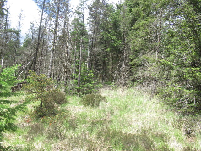
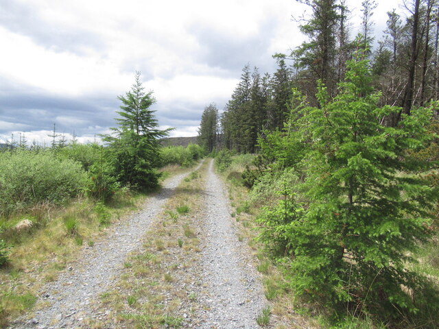
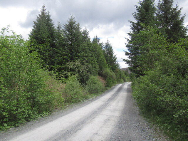
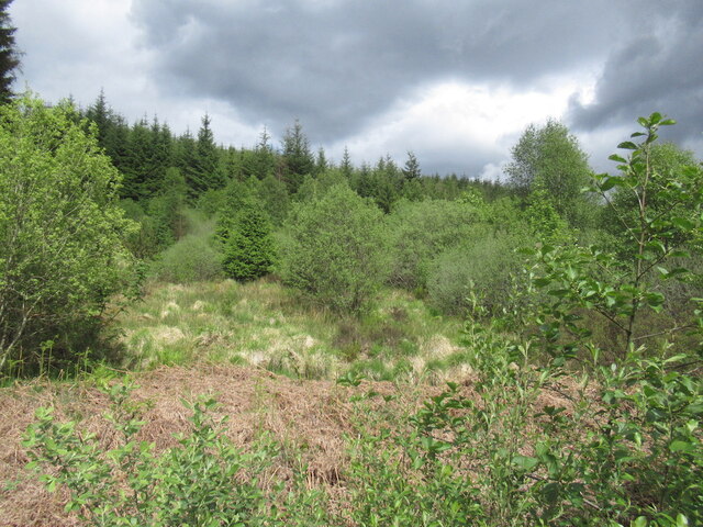
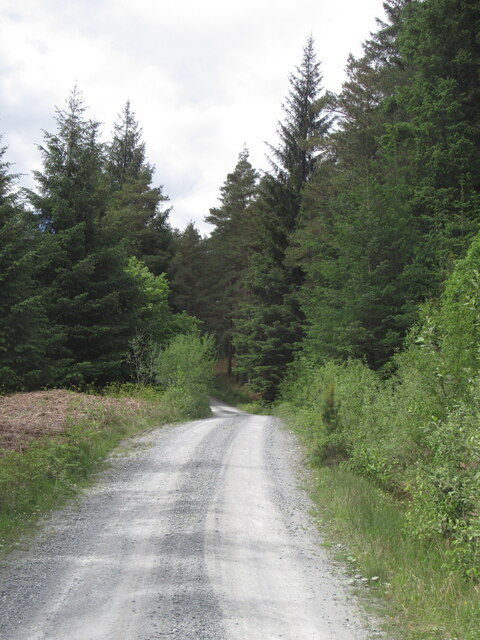
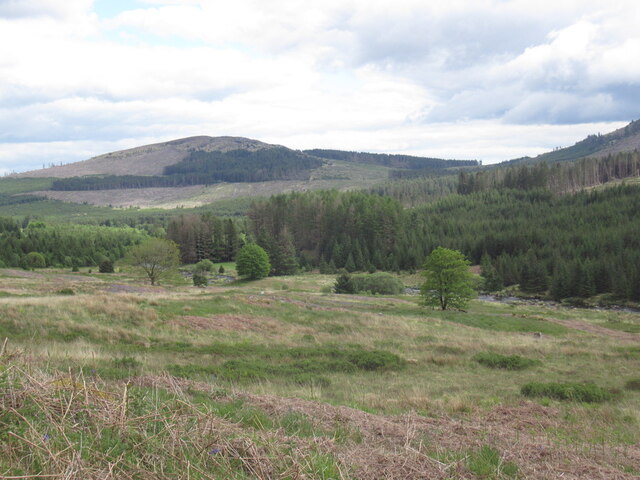
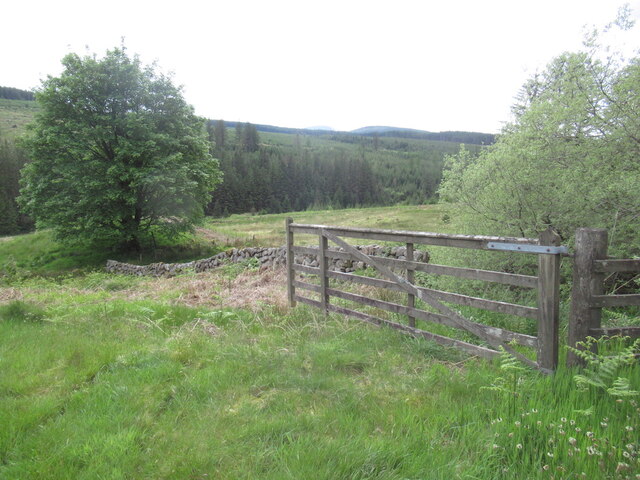
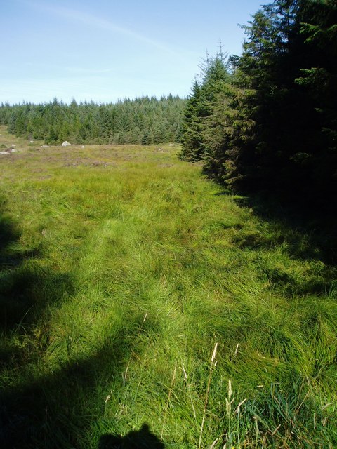
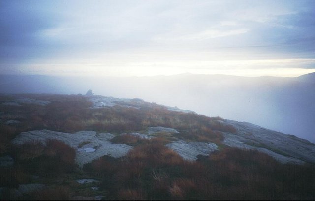
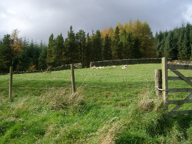
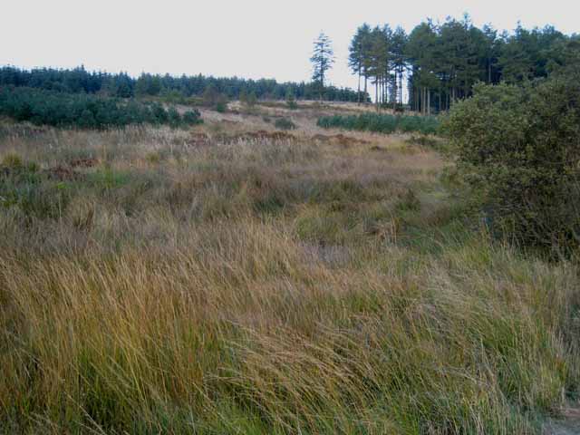
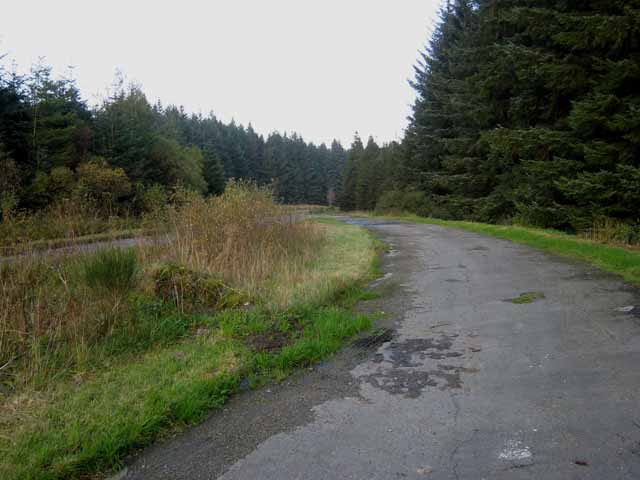
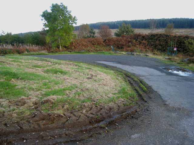
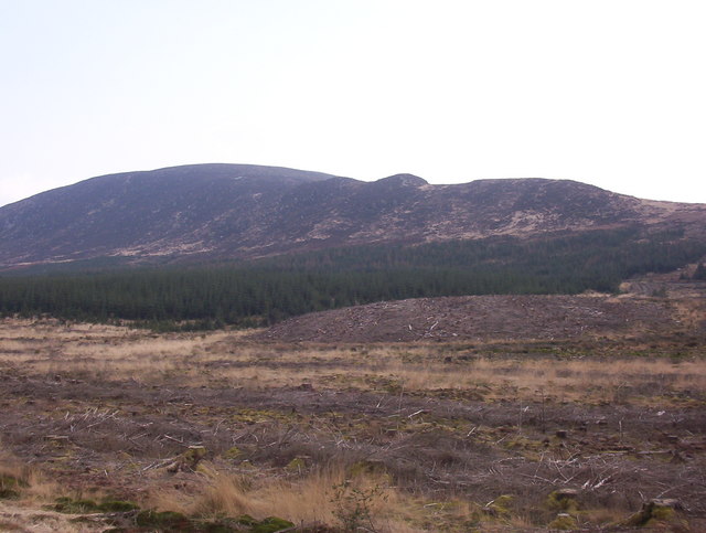
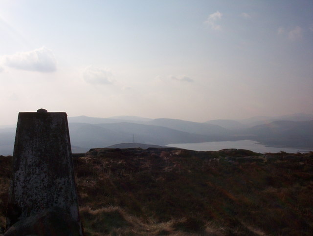
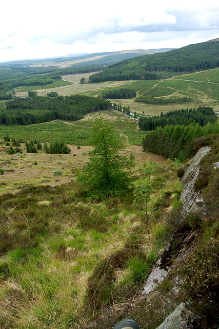
Cairnsmore Images
Images are sourced within 2km of 55.05631/-4.2186357 or Grid Reference NX5875. Thanks to Geograph Open Source API. All images are credited.


Cairnsmore is located at Grid Ref: NX5875 (Lat: 55.05631, Lng: -4.2186357)
Unitary Authority: Dumfries and Galloway
Police Authority: Dumfries and Galloway
Also known as: Black Craig of Dee
What 3 Words
///leaky.contour.whistle. Near Newton Stewart, Dumfries & Galloway
Nearby Locations
Related Wikis

Clatteringshaws Loch
Clatteringshaws Loch is a freshwater reservoir in the historical county of The Stewartry of Kirkcudbright in Dumfries and Galloway, Scotland. It was created...

Water of Ken
The Water of Ken is a river in the historical county of Kirkcudbrightshire in Galloway, south-west Scotland.It rises on Blacklorg Hill, north-east of Cairnsmore...

Kenmure Castle
Kenmure Castle is a fortified house or castle in The Glenkens, 1 mile (1.6 km) south of the town of New Galloway in Kirkcudbrightshire, Galloway, south...

New Galloway Town Hall
The New Galloway Town Hall is a municipal building in Dumfries and Galloway, Scotland, situated on the town's high street. A tolbooth has existed on the...
Nearby Amenities
Located within 500m of 55.05631,-4.2186357Have you been to Cairnsmore?
Leave your review of Cairnsmore below (or comments, questions and feedback).