Black Cairn Hill

Hill, Mountain in Fife

Scotland

Black Cairn Hill

South bank of the Firth of Tay Near Newburgh.
South bank of the Firth of Tay Credit: Richard Webb

Black Cairn Hill is a prominent hill located in the Kingdom of Fife, Scotland. Standing at an elevation of 562 meters (1,844 feet), it is part of the Ochil Hills range and is one of the highest peaks in the region. The hill is situated near the village of Cleish, approximately 12 kilometers (7.5 miles) southwest of Kinross and 32 kilometers (20 miles) north of Edinburgh.

The name "Black Cairn Hill" is derived from the distinctive rocky outcrop at its summit, resembling a cairn or a burial mound. The hill itself is predominantly composed of sandstone and is known for its rugged and rocky terrain, making it a popular destination for hillwalkers and hikers seeking a challenging climb.

The ascent to the summit offers panoramic views of the surrounding countryside, including the Ochil Hills, Loch Leven, and the Lomond Hills. On a clear day, it is possible to see as far as the Firth of Forth and the Pentland Hills.

Black Cairn Hill is also known for its rich history. It is believed to have been a significant landmark during ancient times, potentially serving as a site for rituals or gatherings. The hill is peppered with remnants of prehistoric settlements, such as cairns and stone circles, indicating human activity in the area dating back thousands of years.

Overall, Black Cairn Hill is a captivating natural landmark in Fife, offering both outdoor enthusiasts and history buffs a unique and rewarding experience.

If you have any feedback on the listing, please let us know in the comments section below.

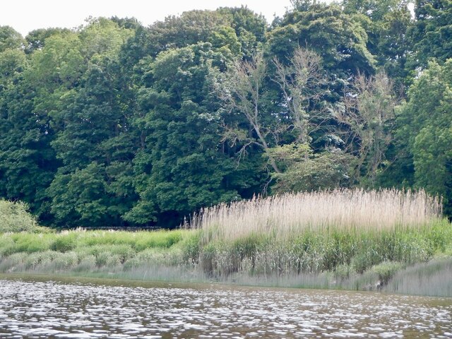
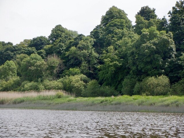
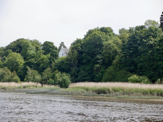
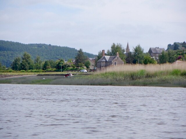
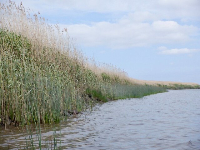
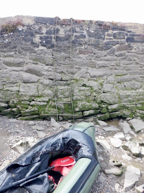
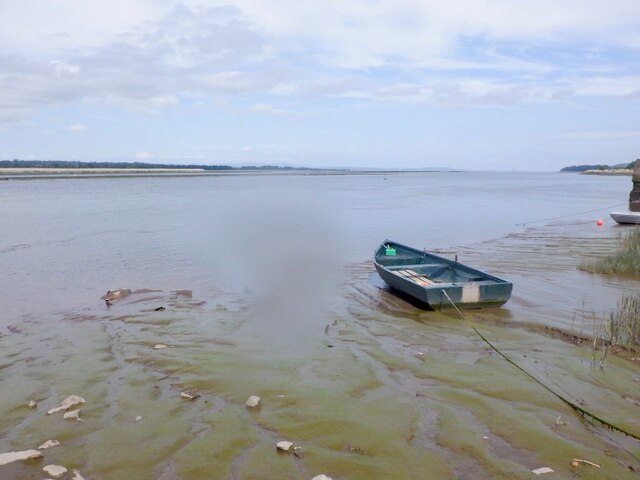
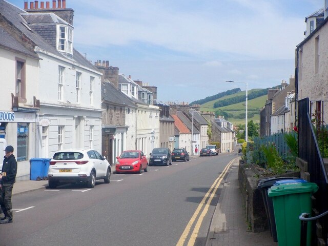
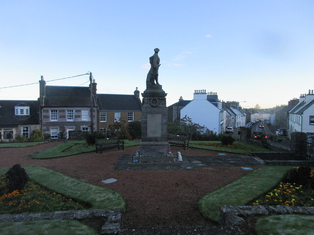
Black Cairn Hill Images

Images are sourced within 2km of 56.340821/-3.2414483 or Grid Reference NO2317. Thanks to Geograph Open Source API. All images are credited.

South bank of the Firth of Tay Near Newburgh.
South bank of the Firth of Tay
Near Newburgh.
South bank of the Firth of Tay Near Newburgh.
South bank of the Firth of Tay
Near Newburgh.
Mugdrum House Near Newburgh
Mugdrum House
Near Newburgh
Newburgh seen from the South Deep Newburgh offers some escape routes off the water without too much interaction with the mud. Make sure you are on the right side of The Hard though. The ebb tide runs fast close to the shore here, unlike the slower flow by Mugdrum Island.
Newburgh seen from the South Deep
Newburgh offers some escape routes off the water without too much interaction with the mud. Make sure you are on the right side of The Hard though. The ebb tide runs fast close to the shore here, unlike the slower flow by Mugdrum Island.
Navigation marker off Newburgh One of a pair of bright orange marker barrels off Mugdrum Island.
Navigation marker off Newburgh
One of a pair of bright orange marker barrels off Mugdrum Island.
Mugdrum Island
Mugdrum Island
Reed beds, Mugdrum Island There is a sea wall around the centre of the island this is surrounded by  extensive reed beds.
Reed beds, Mugdrum Island
There is a sea wall around the centre of the island this is surrounded by extensive reed beds.
Reed beds, Mugdrum Island
Newburgh Harbour A relatively mud free corner enabled a clean exit off the river at around 2 hours before low water. I would not want to have got here much later. 
I had also just dropped my camera in the not so silvery Tay and was glad for a quick retrieval although it would have soon turned up as the tide fell.

The way out is by the metal ladder.
Newburgh Harbour
A relatively mud free corner enabled a clean exit off the river at around 2 hours before low water. I would not want to have got here much later. I had also just dropped my camera in the not so silvery Tay and was glad for a quick retrieval although it would have soon turned up as the tide fell. The way out is by the metal ladder.
Newburgh Harbour and the South Deep The mud was avoidable when taking out - just.
Newburgh Harbour and the South Deep
The mud was avoidable when taking out - just.
High Street, Newburgh
Reef Mog A close off Newburgh High Street.
Reef Mog
A close off Newburgh High Street.
Shop, Newburgh High Street Number plate designs of the time.  There was a current craze for three dimensional plates or 4D as they call them here.
Shop, Newburgh High Street
Number plate designs of the time. There was a current craze for three dimensional plates or 4D as they call them here.
Car park, Newburgh With a view over Mugdrum Island.
Car park, Newburgh
With a view over Mugdrum Island.
Ramp into the mud The River Tay at Newburgh at low tide. Small tufts of grass sticking out. Mugdrum Island is the much bigger bit of land in the middle of the river.
Ramp into the mud
The River Tay at Newburgh at low tide. Small tufts of grass sticking out. Mugdrum Island is the much bigger bit of land in the middle of the river.
Beginning of the Fife Coastal Path in Newburgh Gateway in the public park on the west side of Newburgh marking the beginning of the Fife Coastal Path.
Beginning of the Fife Coastal Path in Newburgh
Gateway in the public park on the west side of Newburgh marking the beginning of the Fife Coastal Path.
Newburgh War Memorial The war memorial on the west side of Newburgh, with the High Street to the right.
Newburgh War Memorial
The war memorial on the west side of Newburgh, with the High Street to the right.
Show me another place!

Black Cairn Hill is located at Grid Ref: NO2317 (Lat: 56.340821, Lng: -3.2414483)

Unitary Authority: Fife

Police Authority: Fife

Also known as: Ormiston Hill

What 3 Words

///exile.stage.tomato. Near Newburgh, Fife

Related Wikis

MacDuff's Cross

MacDuff's Cross, also known as the Cross of MacDuff or Ninewells, is the remains of an ancient white sandstone monument, located on a historic site between...

Newburgh railway station

See also Parbold railway station which was originally named "Newburgh railway station". There have been several railway stations serving the town of Newburgh...

Clatchard Craig

The fort of Clatchard Craig was located on a hill of the same name by the Tay. A human presence on the site has been identified from the neolithic period...
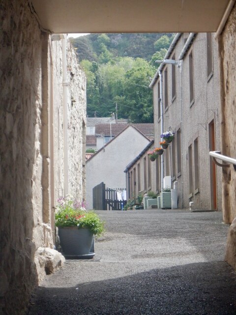
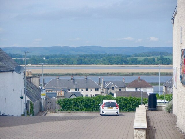
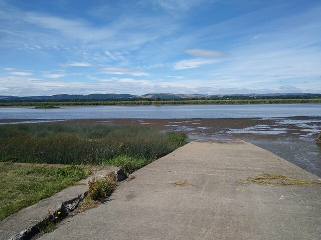
Newburgh, Fife

Newburgh is a royal burgh and parish in Fife, Scotland, at the south shore of the Firth of Tay. The town has a population of 2,171 (in 2011), which constitutes...

Lindores Abbey

Lindores Abbey was a Tironensian abbey on the outskirts of Newburgh in Fife, Scotland. Now a reduced ruin, it lies on the southern banks of the River Tay...

Lindores Abbey distillery

Lindores Abbey distillery is a Scotch whisky distillery in Newburgh in the Lowlands whisky region in Scotland and is directly opposite the Abbey. It started...
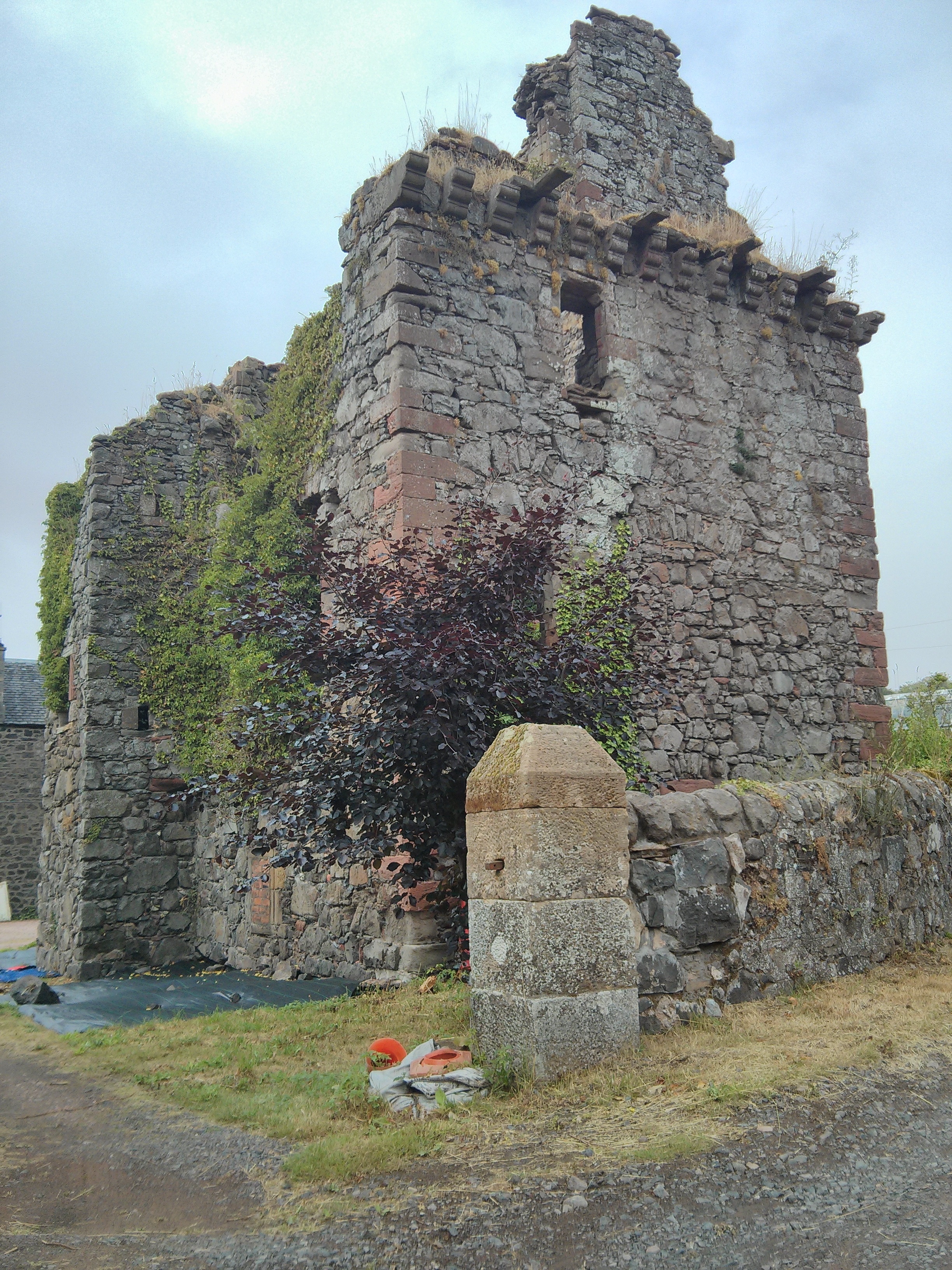
Denmylne Castle

Denmylne Castle is a ruined 16th-century tower house, about 1 mile (1.6 km) south east of Newburgh, Fife, Fife, Scotland, and 1 mile (1.6 km) north west...

Glenburnie railway station

Glenburnie railway station was a temporary terminus that served the area of Glenburnie, Fife, Scotland from 1847 to 1848 on the Edinburgh and Northern...

Nearby Amenities

Located within 500m of 56.340821,-3.2414483
Ormiston Hill
Ele: 236
Natural: peak
Source: OS Maps
Lat/Long: 56.3408243/-3.2415637
Power: pole
Lat/Long: 56.3428635/-3.2343283
Power: pole
Lat/Long: 56.3433377/-3.234905
Power: pole
Lat/Long: 56.3439709/-3.2363319
Power: pole
Lat/Long: 56.3443886/-3.237319
Power: pole
Lat/Long: 56.3446324/-3.238306
Power: pole
Lat/Long: 56.3449565/-3.2395667
Power: pole
Lat/Long: 56.3452107/-3.2406208
Power: pole
Lat/Long: 56.3434239/-3.2363293
Power: pole
Lat/Long: 56.3439026/-3.2374102
Power: pole
Lat/Long: 56.3443381/-3.2387003
Power: pole
Lat/Long: 56.3447945/-3.2400361
Power: pole
Lat/Long: 56.3447974/-3.2406208
Power: pole
Lat/Long: 56.3444451/-3.239615
Power: pole
Lat/Long: 56.3441032/-3.2386065
Power: pole
Lat/Long: 56.3437762/-3.2375765
Power: pole
Lat/Long: 56.3434403/-3.2369703
Power: pole
Lat/Long: 56.3424294/-3.2374531
Power: pole
Lat/Long: 56.3416951/-3.2380271
Power: pole
Lat/Long: 56.3414364/-3.2382846
Power: pole
Lat/Long: 56.3371324/-3.2383972
Power: pole
Lat/Long: 56.3387084/-3.2389551
Power: pole
Lat/Long: 56.3411435/-3.2378045
Power: pole
Lat/Long: 56.3404329/-3.2381478
Power: pole
Lat/Long: 56.3396673/-3.2385045
Power: pole
Lat/Long: 56.3408075/-3.2388344
Power: pole
Lat/Long: 56.3381687/-3.2411385
Power: pole
Lat/Long: 56.3373272/-3.241927
Power: pole
Lat/Long: 56.3414527/-3.2338214
Power: pole
Lat/Long: 56.3405682/-3.2334888
Power: pole
Lat/Long: 56.3423417/-3.2341513
The data included in this document is from www.openstreetmap.org. The data is made available under ODbL.

Have you been to Black Cairn Hill?

Leave your review of Black Cairn Hill below (or comments, questions and feedback).