Bikmane Hill
Hill, Mountain in Kincardineshire
Scotland
Bikmane Hill
Bikmane Hill is a prominent hill located in Kincardineshire, Scotland. With an elevation of approximately 1,463 feet (446 meters), it stands as an impressive landmark in the area. The hill is situated within the Cairn O' Mount range, which is known for its stunning natural beauty and picturesque landscapes.
Bikmane Hill offers breathtaking panoramic views of the surrounding countryside, making it a popular destination for hikers and nature enthusiasts. Its location near the village of Fettercairn provides easy access for visitors who wish to explore its slopes and trails. The hill is characterized by its rugged terrain, featuring steep slopes and rocky outcrops, adding to its allure.
The area surrounding Bikmane Hill is rich in flora and fauna, with heather-covered moorlands and patches of woodland dotting the countryside. Wildlife such as red deer, mountain hares, and various bird species can be spotted in the vicinity, making it a haven for nature lovers and wildlife photographers.
The hill is also home to several historical and archaeological sites, including ancient stone circles and burial cairns, further enhancing its cultural significance. These remnants of the past provide a glimpse into the area's rich history and heritage.
Overall, Bikmane Hill in Kincardineshire offers a captivating blend of natural beauty, recreational opportunities, and historical significance. It is a must-visit destination for those seeking to immerse themselves in Scotland's stunning landscapes and explore its fascinating past.
If you have any feedback on the listing, please let us know in the comments section below.
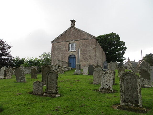
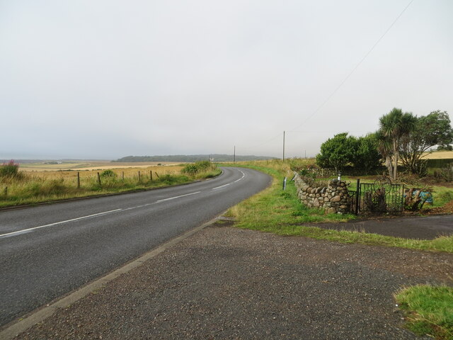
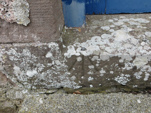
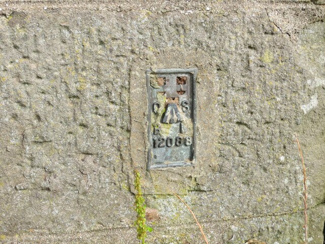
Bikmane Hill Images
Images are sourced within 2km of 56.827064/-2.2995495 or Grid Reference NO8170. Thanks to Geograph Open Source API. All images are credited.


Bikmane Hill is located at Grid Ref: NO8170 (Lat: 56.827064, Lng: -2.2995495)
Unitary Authority: Aberdeenshire
Police Authority: North East
Also known as: Gourdon Hill
What 3 Words
///wool.wonderful.headlines. Near Inverbervie, Aberdeenshire
Nearby Locations
Related Wikis
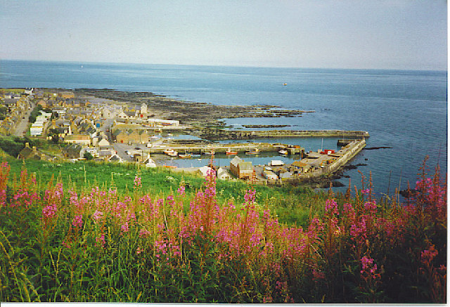
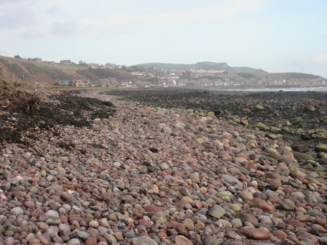
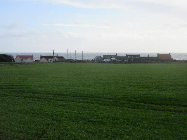
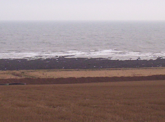
Gourdon, Aberdeenshire
Gourdon () nicknamed Gurdin by the population, is a coastal fishing village in Aberdeenshire, Scotland, south of Inverbervie and north of Johnshaven, with...

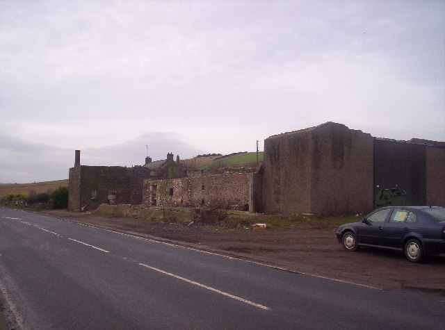
Gourdon railway station (NBR)
Gourdon railway station served the village of Gourdon, Aberdeenshire, Scotland from 1865 to 1951 on the Montrose and Bervie Railway. == History == The...

Benholm
Benholm is a small settlement in Aberdeenshire, Scotland, UK. It is now a conservation area and is home to Benholm Mill.The A92 passes the eastern edge...

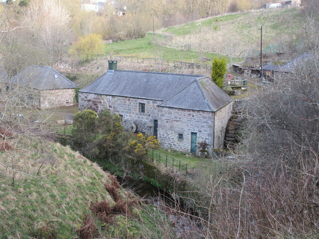
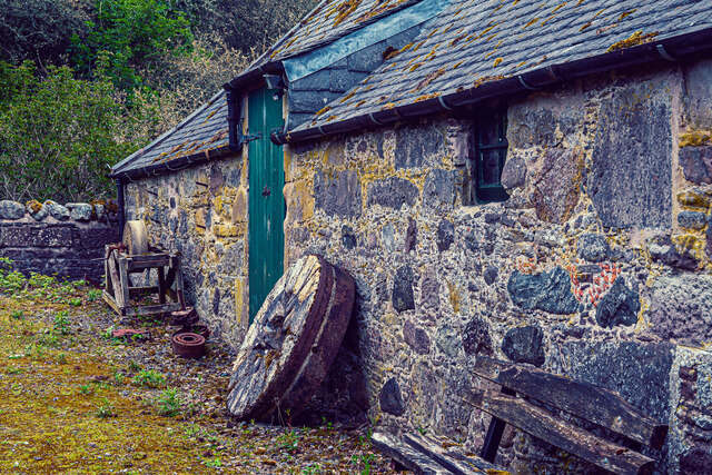
Benholm Mill
Benholm Mill in Kincardineshire, Scotland, is a restored and fully working water-powered meal mill. It is sited in ancient woodland near Johnshaven (13...
Nearby Amenities
Located within 500m of 56.827064,-2.2995495Have you been to Bikmane Hill?
Leave your review of Bikmane Hill below (or comments, questions and feedback).