Bell's Round

Hill, Mountain in Kirkcudbrightshire

Scotland

Bell's Round

Houses, Ringanwhey taken on the by road between Crossmichael and old Bridge of Urr
Houses, Ringanwhey Credit: Kirsty Smith

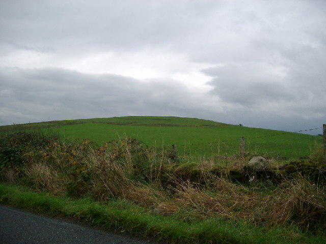
Bell's Round is a prominent hill located in Kirkcudbrightshire, Scotland. Rising to an elevation of 290 meters, the hill offers stunning panoramic views of the surrounding countryside and coastline. It is a popular destination for hikers and outdoor enthusiasts looking to explore the natural beauty of the area.

The hill is characterized by its rounded shape and gentle slopes, making it accessible to hikers of all skill levels. The terrain is mostly grassy with occasional rocky outcrops, providing a diverse and interesting landscape to traverse.

At the summit of Bell's Round, visitors are rewarded with breathtaking views of the Galloway Hills, the Solway Firth, and the quaint town of Kirkcudbright. On a clear day, it is even possible to see as far as the Isle of Man and the Lake District in England.

Bell's Round is surrounded by lush greenery and diverse wildlife, making it a peaceful and serene place to connect with nature. Whether you are looking for a challenging hike or a leisurely stroll, Bell's Round offers something for everyone to enjoy in the picturesque Scottish countryside.

If you have any feedback on the listing, please let us know in the comments section below.
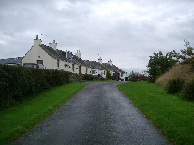
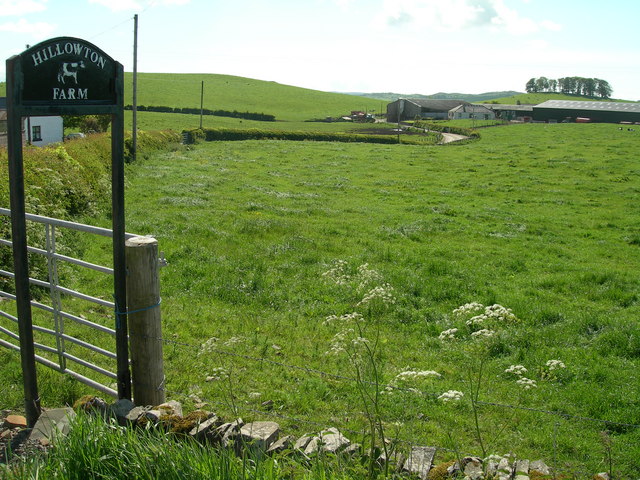
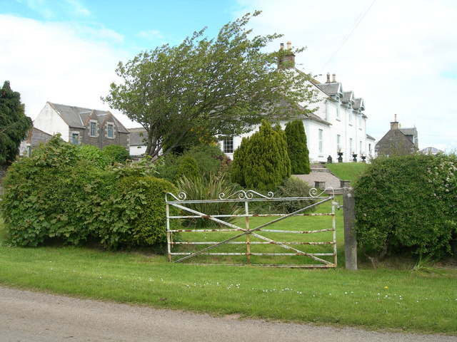
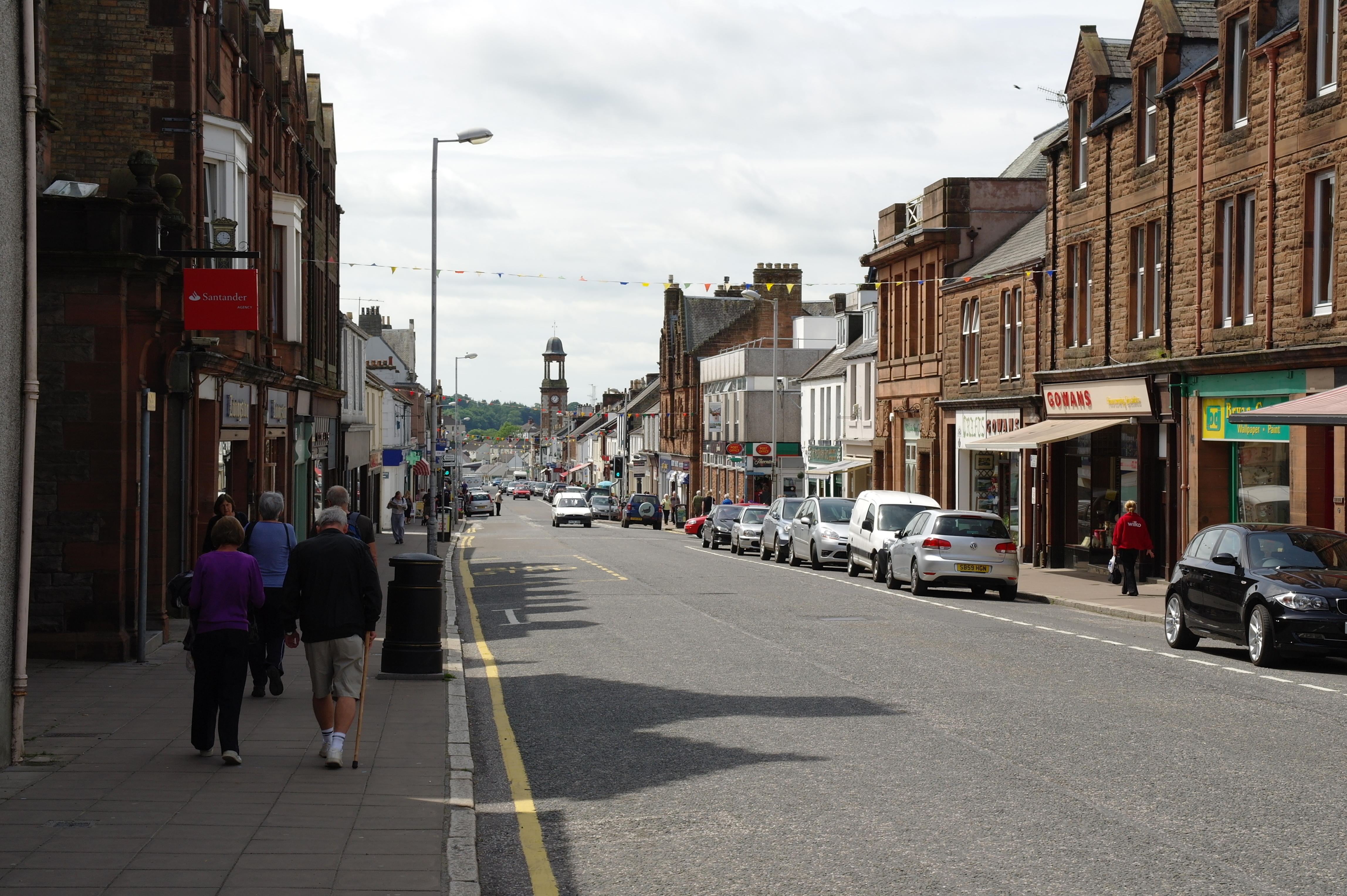
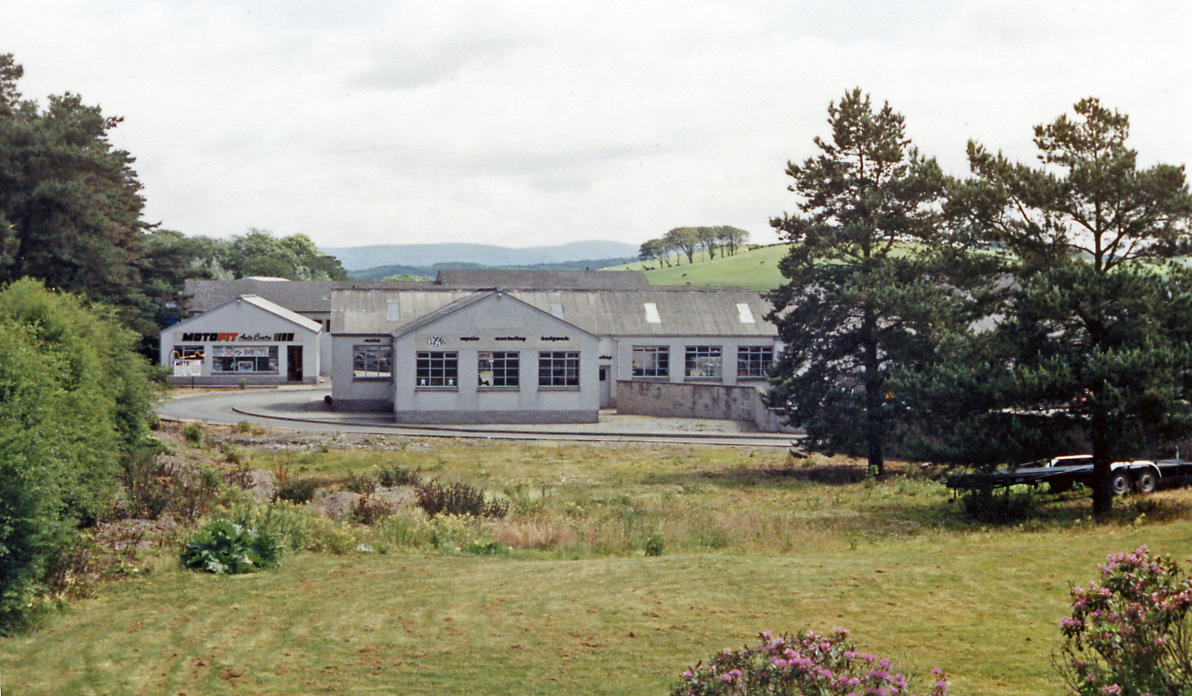
Bell's Round Images

Images are sourced within 2km of 54.97397/-3.9325651 or Grid Reference NX7666. Thanks to Geograph Open Source API. All images are credited.

Houses, Ringanwhey taken on the by road between Crossmichael and old Bridge of Urr
Houses, Ringanwhey
taken on the by road between Crossmichael and old Bridge of Urr
Knockgill near B797 at Ernminzie It's not named on the 1:25000, so I hope someone local can identify it. Between Erminzie and Ellislade near Valleyfield Bridge close to the B795, though taken from the by road to the north.
Good news - one of our number supplied the name from 1st edn OS 6" - thanks for that.
Knockgill near B797 at Ernminzie
It's not named on the 1:25000, so I hope someone local can identify it. Between Erminzie and Ellislade near Valleyfield Bridge close to the B795, though taken from the by road to the north. Good news - one of our number supplied the name from 1st edn OS 6" - thanks for that.
Mote Hill north east of Clarebrand North of Castle Douglas on the Clarebrand to Old Bridge of Urr road.
Mote Hill north east of Clarebrand
North of Castle Douglas on the Clarebrand to Old Bridge of Urr road.
Part of the mill complex at Old Bridge of Urr This building to the left is the Kiln House part of the original mill complex at Old Bridge of Urr. It is now being restored as a private house. Between it and the camera was a later wooden extension which has recently been demolished. The further building to the right is the Miller's House. It was later the post office and has also recently been restored. The mills themselves (a cornmill and saw mill sharing the same wheel) are out of shot to the right.
Part of the mill complex at Old Bridge of Urr
This building to the left is the Kiln House part of the original mill complex at Old Bridge of Urr. It is now being restored as a private house. Between it and the camera was a later wooden extension which has recently been demolished. The further building to the right is the Miller's House. It was later the post office and has also recently been restored. The mills themselves (a cornmill and saw mill sharing the same wheel) are out of shot to the right.
Allanton
Allanton
Ernmenzie
Ernmenzie
Hillowton Farm
Hillowton Farm
Farmland and site of cairn
Triangulation pillar and water storage facility
Gerranton farmhouse and buildings
Entrance to Mollance
Sheep at Mollance
Sheep at Mollance
Road junction Looking Northwest
Road junction
Looking Northwest
Front entrance Mollance Remains of house burnt down  1912
Front entrance Mollance
Remains of house burnt down 1912
Side view of ruin
Side view of ruin
Farmhouse at Mollance Originally Stables and servants quarters
Farmhouse at Mollance
Originally Stables and servants quarters
View from  caravan window Campsite at Mollance
View from caravan window
Campsite at Mollance
Cattle at Mollance caravan site Building to the right housed the family Rolls Royce in the early 1900's
Due to be converted to a cottage
Cattle at Mollance caravan site
Building to the right housed the family Rolls Royce in the early 1900's Due to be converted to a cottage
Show me another place!

Bell's Round is located at Grid Ref: NX7666 (Lat: 54.97397, Lng: -3.9325651)

Unitary Authority: Dumfries and Galloway

Police Authority: Dumfries and Galloway

Also known as: Clarebrand Hill

What 3 Words

///following.pepper.deposits. Near Castle Douglas, Dumfries & Galloway

Related Wikis

A75 road

The A75 is a primary trunk road in Scotland, linking Stranraer and its ferry ports at Cairnryan with the A74(M) at Gretna, close to the border with England...

Castle Douglas High School

Castle Douglas High School is a comprehensive state school situated in Castle Douglas in the historical county of Kirkcudbrightshire. It has approximately...

Abbey Yard

Abbey Yard is a location in Dumfries and Galloway, Scotland. Abbey Yard is near Glenlochar in the historical county of Kirkcudbrightshire in the Dumfries...

Castle Douglas railway station

Castle Douglas railway station served the town of Castle Douglas, Dumfries and Galloway, Scotland from 1859 to 1965 on the Castle Douglas and Dumfries...

Nearby Amenities

Located within 500m of 54.97397,-3.9325651
Bus Stop
Village
Naptan AtcoCode: 680000060333
Naptan Bearing: SW
Naptan CommonName: Village
Naptan Indicator: Farm
Naptan Landmark: U132
Naptan NaptanCode: 34238629
Naptan Notes: none
Naptan Street: C12
Naptan Verified: no
Source: naptan_import
Lat/Long: 54.973486/-3.9277521
Bus Stop
Village
Naptan AtcoCode: 680000060444
Naptan Bearing: NE
Naptan CommonName: Village
Naptan Indicator: opp Farm
Naptan Landmark: U132
Naptan NaptanCode: 34238523
Naptan Notes: none
Naptan Street: C12
Naptan Verified: no
Source: naptan_import
Lat/Long: 54.9734925/-3.9279086
Clarebrand
Place: hamlet
Lat/Long: 54.972975/-3.9281925
Cherry Hill
Natural: peak
Lat/Long: 54.9712984/-3.9367764
Clarebrand Hill
Natural: peak
Lat/Long: 54.9739285/-3.9324816
Power: pole
Lat/Long: 54.9724255/-3.9302347
Power: pole
Lat/Long: 54.9718158/-3.9307382
Power: pole
Lat/Long: 54.9716548/-3.9337826
Power: pole
Lat/Long: 54.9715158/-3.9363096
Power: pole
Lat/Long: 54.9717012/-3.9372741
Power: pole
Lat/Long: 54.9723487/-3.9375461
Power: pole
Lat/Long: 54.9711927/-3.9369172
Power: pole
Lat/Long: 54.9709793/-3.9334915
Power: pole
Lat/Long: 54.9701123/-3.9331474
Power: pole
Lat/Long: 54.9694867/-3.9329073
Power: pole
Lat/Long: 54.9715171/-3.9299373
Power: pole
Lat/Long: 54.9712146/-3.9291151
Power: pole
Lat/Long: 54.9708208/-3.9280444
Power: pole
Lat/Long: 54.9762954/-3.9265974
Power: pole
Lat/Long: 54.9755466/-3.9273081
Power: pole
Lat/Long: 54.9747126/-3.9280591
Power: pole
Lat/Long: 54.9739686/-3.9288058
Power: pole
Lat/Long: 54.9731309/-3.9296014
The data included in this document is from www.openstreetmap.org. The data is made available under ODbL.

Have you been to Bell's Round?

Leave your review of Bell's Round below (or comments, questions and feedback).