Beinn Bhàn
Hill, Mountain in Perthshire
Scotland
Beinn Bhàn

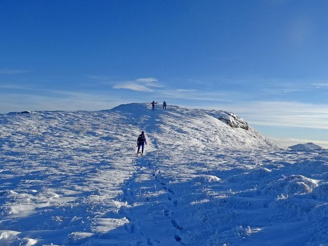
Beinn Bhàn is a prominent hill located in the county of Perthshire, Scotland. It stands at an impressive height of 1,001 meters (3,284 feet) above sea level, making it one of the highest peaks in the area. The name "Beinn Bhàn" translates to "White Mountain" in Gaelic, which is a fitting description considering the often snow-capped summit during winter months.
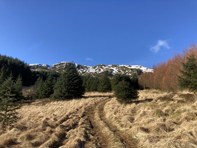
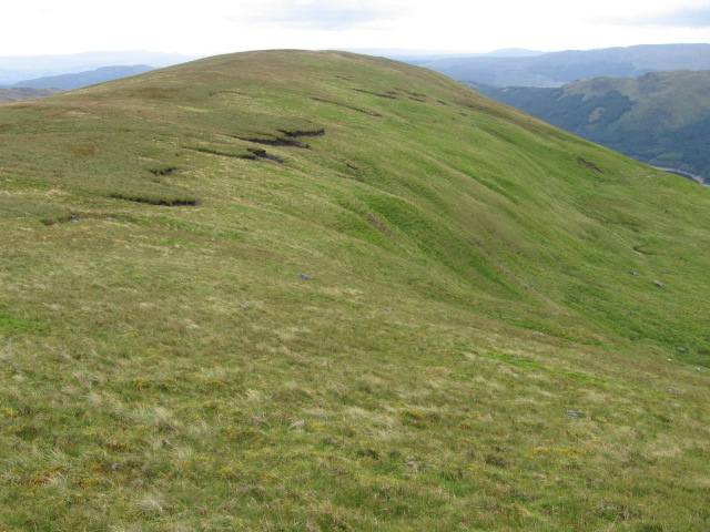
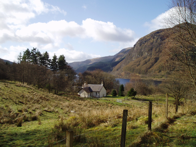
Situated within the southern part of the Scottish Highlands, Beinn Bhàn offers breathtaking views of the surrounding landscape. Its slopes are covered in a variety of vegetation, including heather and grasses, which give way to rocky outcrops as one ascends higher. The hill is also home to several species of wildlife, such as red deer and various birds of prey, adding to its natural allure.
A popular destination for hikers and outdoor enthusiasts, Beinn Bhàn offers a range of routes to accommodate different skill levels. The most common approach to the summit is from the village of Blair Atholl, where a well-marked path leads visitors through stunning landscapes and challenging terrain. The ascent can take several hours, but the reward is well worth the effort as it offers panoramic views of the surrounding mountain ranges, lochs, and glens.
Beinn Bhàn is a prime example of the beauty and ruggedness that the Scottish Highlands have to offer. Its towering presence, diverse flora and fauna, and awe-inspiring vistas make it a must-visit location for those seeking an unforgettable outdoor experience in Perthshire.
If you have any feedback on the listing, please let us know in the comments section below.
Beinn Bhàn Images
Images are sourced within 2km of 56.293284/-4.3684469 or Grid Reference NN5313. Thanks to Geograph Open Source API. All images are credited.


Beinn Bhàn is located at Grid Ref: NN5313 (Lat: 56.293284, Lng: -4.3684469)
Unitary Authority: Stirling
Police Authority: Forth Valley
Also known as: Benvane
What 3 Words
///deduced.piglets.turkeys. Near Callander, Stirling
Nearby Locations
Related Wikis

Benvane
Benvane (Scottish Gaelic: Beinn Bhàn) is a mountain in the Trossachs, in Stirling council area, Scotland. It lies within Loch Lomond and The Trossachs...

Strathyre railway station
Strathyre was a railway station located at the head of Loch Lubnaig, Stirling, in Strathyre. == History == This station opened on 1 June 1870 along with...

Glen Finglas Estate
The Glen Finglas Estate is a property in Glen Finglas in the Trossachs, Scotland managed by The Woodland Trust. The estate extends for over 10,000 acres...

Strathyre
Strathyre (; from Scottish Gaelic: Srath Eadhair) is a district and settlement in the Stirling local government district of Scotland. It forms the south...

Loch Lubnaig
Loch Lubnaig (Loch Lùbnaig in Gaelic) is a small freshwater loch near Callander in the Stirling council area, Scottish Highlands. It lies in the former...

Ben Ledi
Ben Ledi (Beinn Leitir in Scottish Gaelic) is a mountain in Stirling, Scotland. It is 879 metres (2,884 feet) high, and is therefore classified as a Corbett...
Ardchullarie More
Ardchullarie More is a small hamlet in the Stirling council area, Scotland and is situated on the eastern side of Loch Lubnaig. == External links == Scottish...

Dalrigh
Dalrigh is a hamlet in Scotland near Tyndrum. The name means "The King's Field" in Scottish Gaelic. The origin of the name stems specifically from the...
Nearby Amenities
Located within 500m of 56.293284,-4.3684469Have you been to Beinn Bhàn?
Leave your review of Beinn Bhàn below (or comments, questions and feedback).