Beda Fell
Hill, Mountain in Westmorland Eden
England
Beda Fell
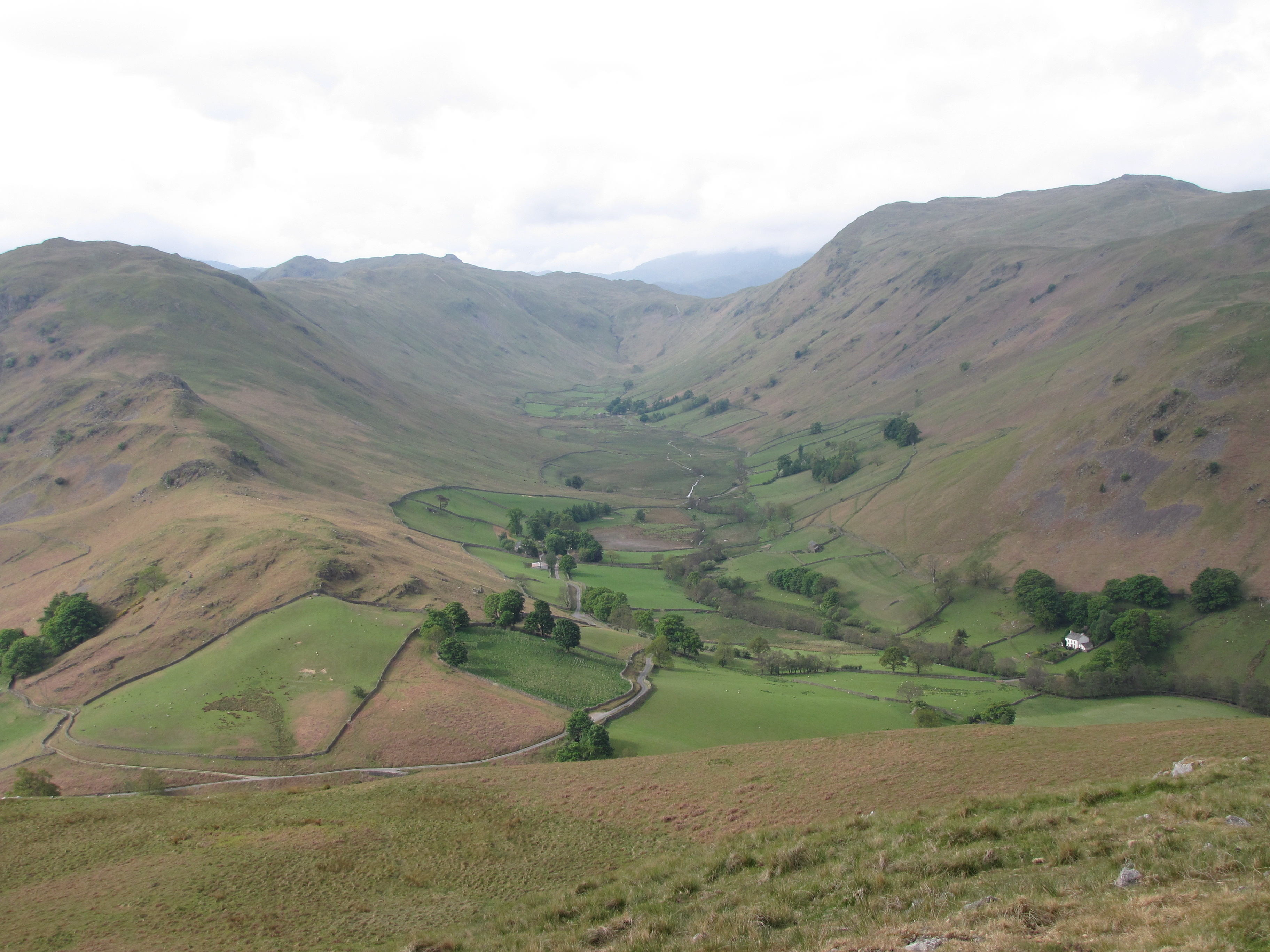
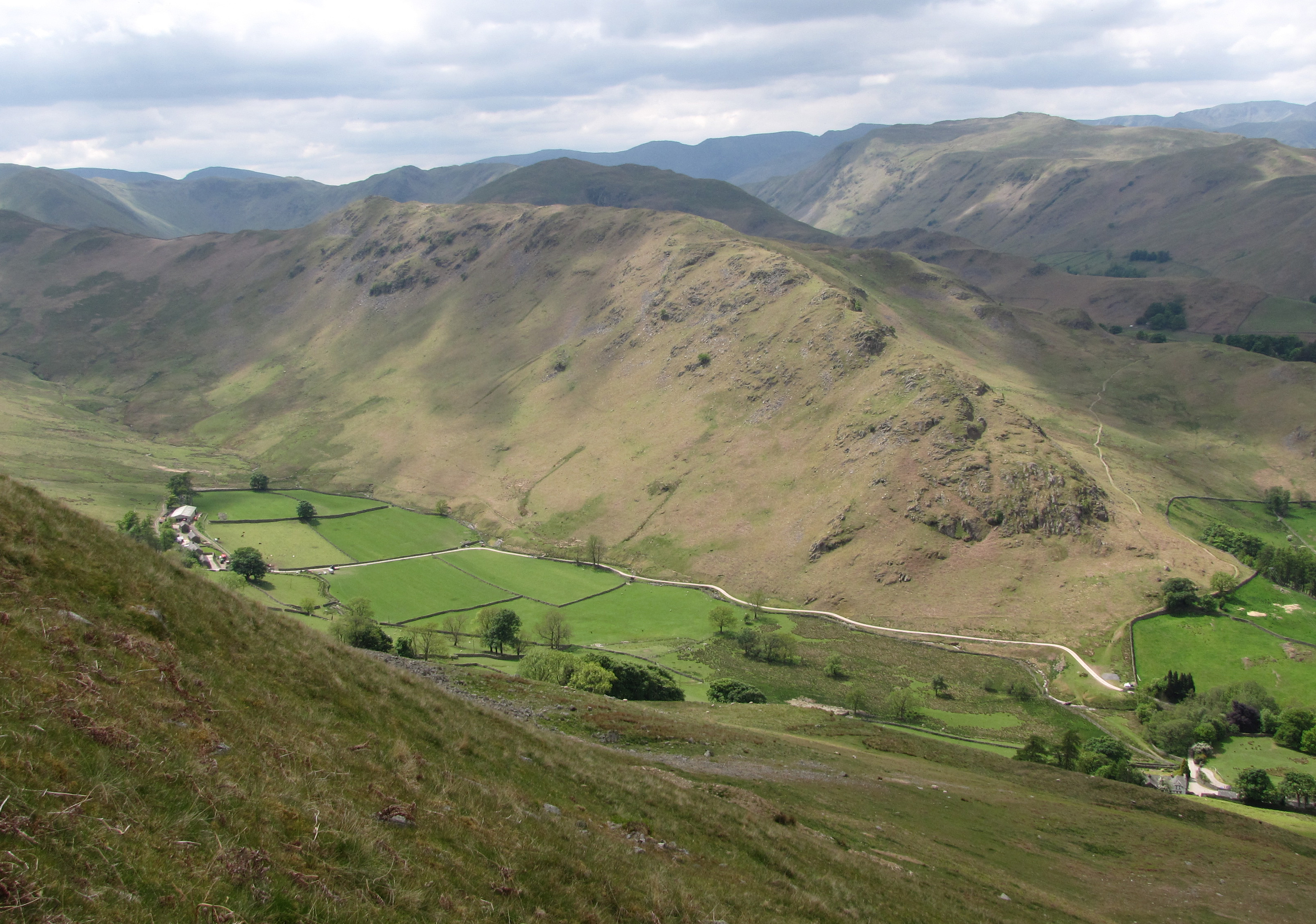
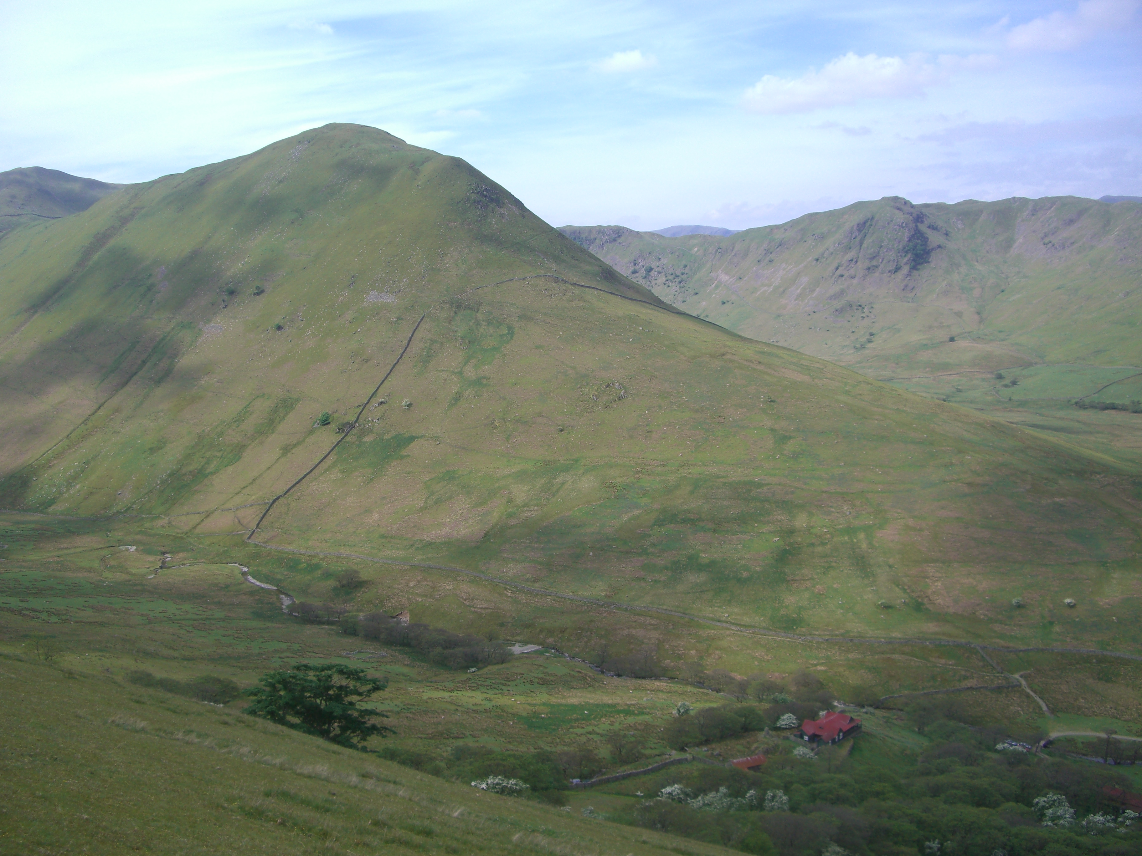
Beda Fell is a prominent hill located in the county of Westmorland, in the northwestern region of England. Standing at an elevation of 509 meters (1,670 feet), it is part of the Lake District National Park, a renowned area of natural beauty and one of the most popular tourist destinations in the United Kingdom.
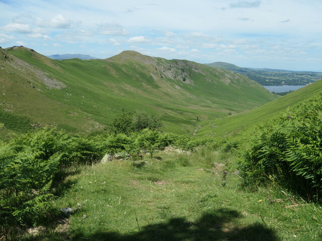
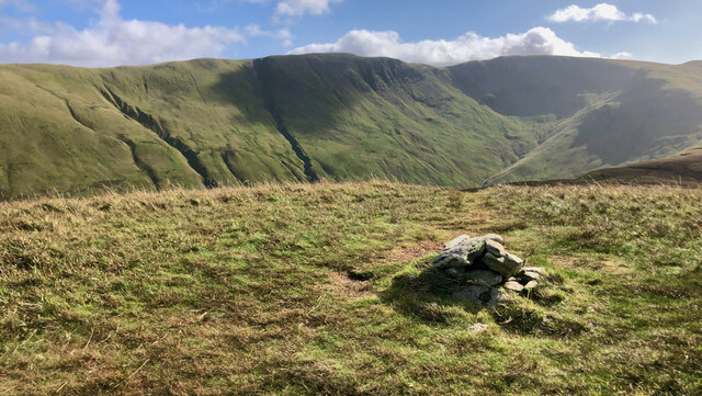
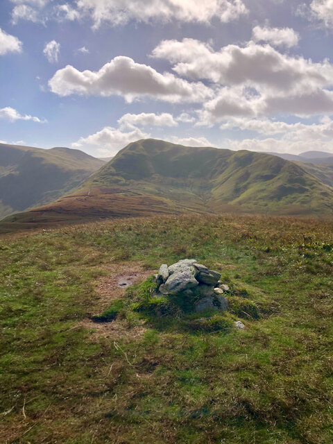
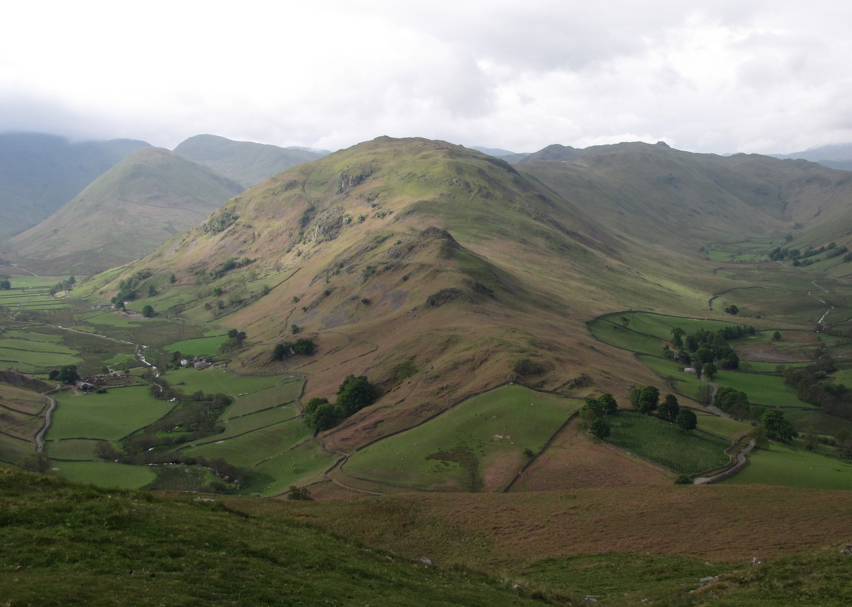
Beda Fell is situated in the eastern region of the national park, near the small village of Martindale. It forms part of the Martindale Fells, a group of hills that offer breathtaking panoramic views of the surrounding landscapes. The fell is characterized by its gentle slopes and grassy terrain, making it a relatively easy climb for hikers and outdoor enthusiasts of all levels.
At the summit of Beda Fell, visitors are rewarded with stunning vistas of Ullswater, one of the largest and most picturesque lakes in the Lake District. The views extend to the surrounding fells, including High Street, Kidsty Pike, and Place Fell, adding to the allure of this scenic spot.
The fell is also home to a variety of wildlife, with red deer, buzzards, and skylarks commonly spotted in the area. Additionally, Beda Fell is intersected by several footpaths and trails, allowing visitors to explore the surrounding countryside and enjoy the serenity of this tranquil location.
Overall, Beda Fell offers a perfect blend of natural beauty, accessibility, and panoramic views, making it a popular destination for hikers, nature lovers, and those seeking a peaceful escape in the heart of the Lake District.
If you have any feedback on the listing, please let us know in the comments section below.
Beda Fell Images
Images are sourced within 2km of 54.545466/-2.8858904 or Grid Reference NY4217. Thanks to Geograph Open Source API. All images are credited.


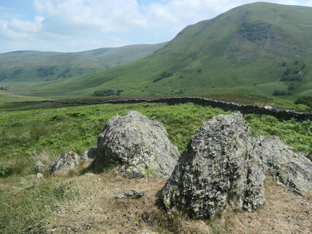
![Wall descending from Nab End Shewn on the earliest large-scale OS map [surveyed in 1860].](https://s1.geograph.org.uk/geophotos/06/91/65/6916577_0d112800.jpg)


![Red deer, below Bedafell Knott, Bannerdale 300 metres away, but well aware of me. Red deer are more usually seen on the east [Nab] side of Bannerdale.](https://s3.geograph.org.uk/geophotos/06/91/67/6916723_c7298698.jpg)
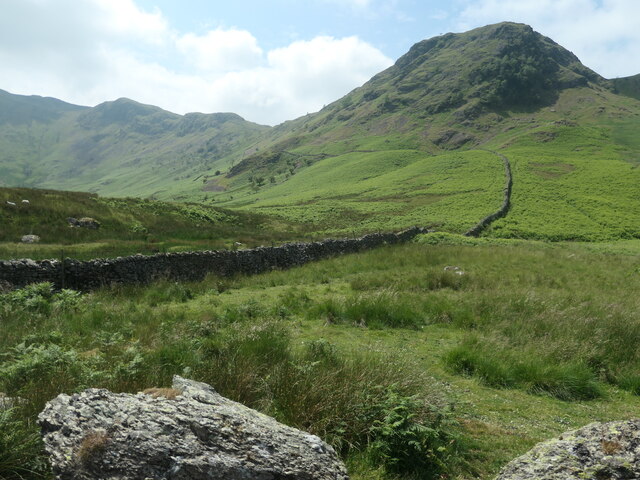
![Access track to a field barn, Bannerdale The barn [but not the tree it is under!] is shown on the large-scale OS map surveyed in 1860.](https://s0.geograph.org.uk/geophotos/06/91/67/6916732_3f56a941.jpg)


Beda Fell is located at Grid Ref: NY4217 (Lat: 54.545466, Lng: -2.8858904)
Administrative County: Cumbria
District: Eden
Police Authority: Cumbria
Also known as: Beda Head
What 3 Words
///tabloid.scales.generated. Near Ambleside, Cumbria
Related Wikis
Beda Fell
Beda Fell is a fell in the English Lake District, situated to the south of Ullswater. It divides the valleys of Boredale and Bannerdale within the Martindale...

Martindale, Cumbria
Martindale is a valley, village and civil parish in Cumbria, England, situated within the Lake District National Park between the lakes of Ullswater and...
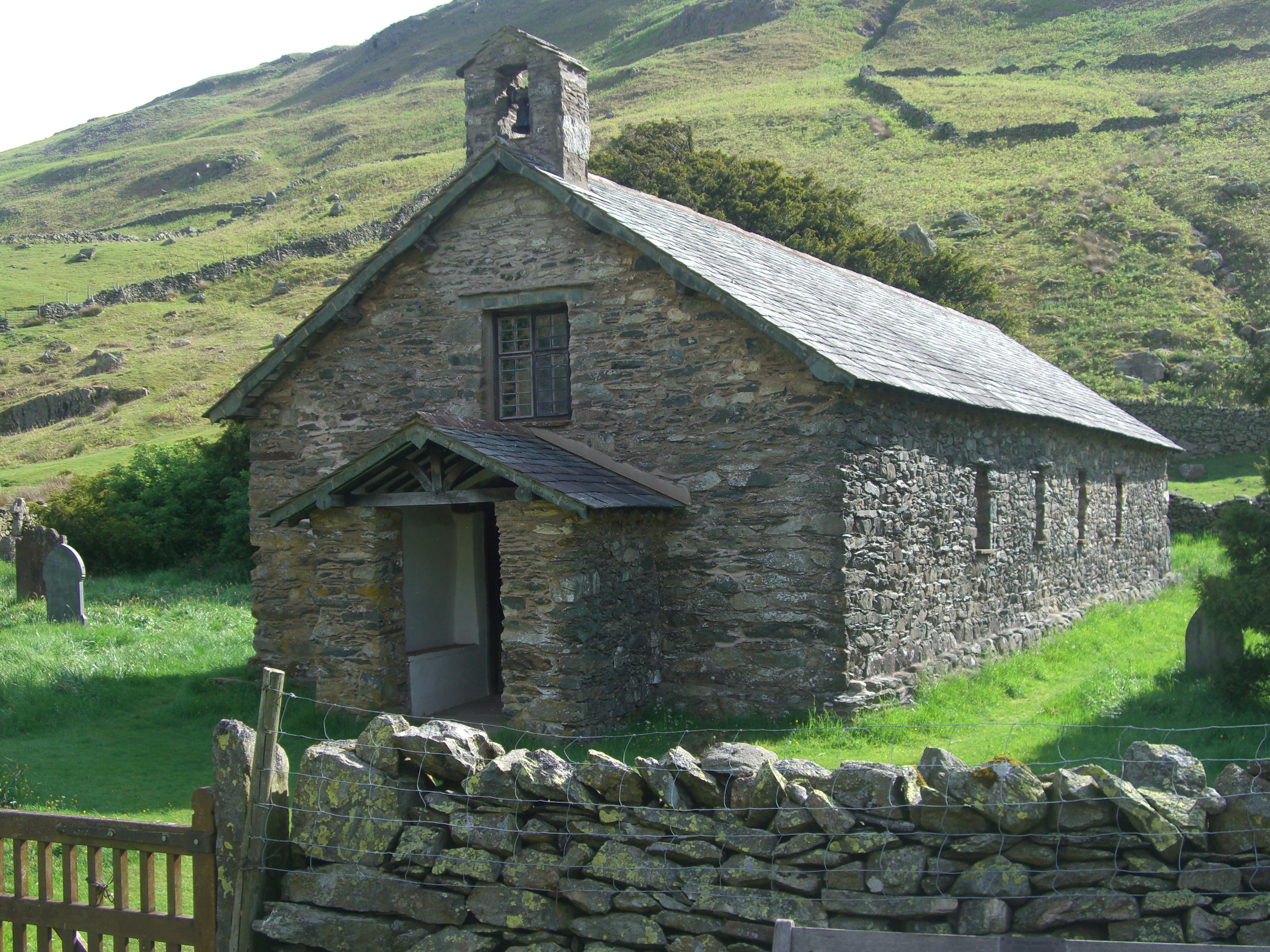
St Martin's Church, Martindale
St Martin's Church, Martindale is located in the valley of Martindale in Cumbria, England. It is often referred to as the "Old Church" to avoid confusion...
Boredale
Boredale sometimes known as Boardale, is a valley within Lake District National Park, in Cumbria, England. The valley is close to the eastern shore of...
Steel Knotts
Steel Knotts is a fell in the English Lake District, near to Ullswater in the Far Eastern Fells. It stands between the valleys of Fusedale and Martindale...
The Nab
The Nab is a fell in the English Lake District. It has a moderate height of 576 metres (1,890 feet), and lies in the quieter eastern high ground between...
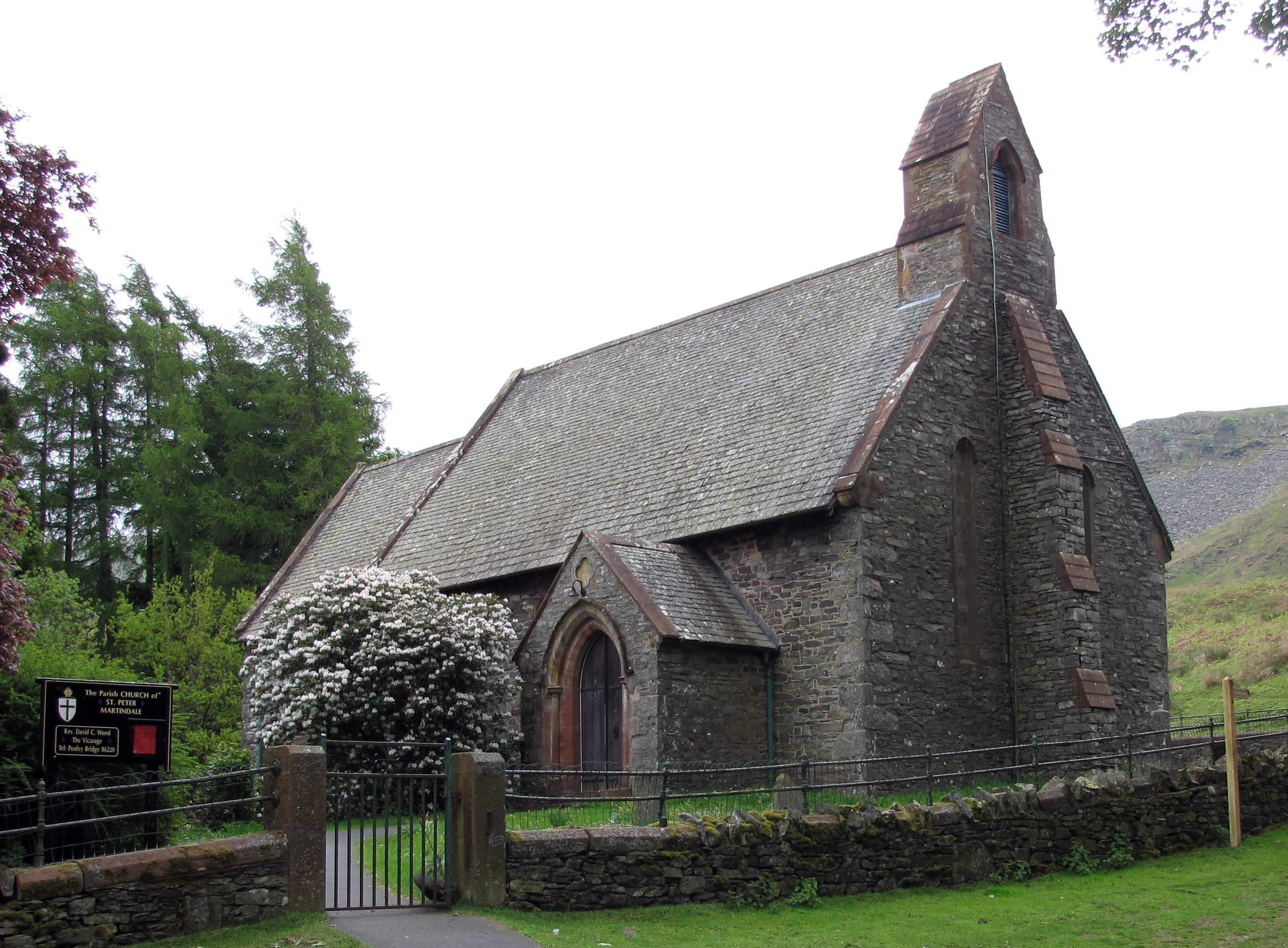
St Peter's Church, Martindale
St Peter’s Church is situated in the valley of Martindale in Cumbria, England. The church is located at the top of the hause on the minor road between...

Place Fell
Place Fell is a hill in the English Lake District. It stands at the corner of the upper and middle reaches of Ullswater, with steep western flanks overlooking...
Nearby Amenities
Located within 500m of 54.545466,-2.8858904Have you been to Beda Fell?
Leave your review of Beda Fell below (or comments, questions and feedback).