Beacon Hill
Hill, Mountain in Yorkshire Scarborough
England
Beacon Hill

Beacon Hill is a prominent hill located in the county of Yorkshire, England. Situated near the village of Carleton-in-Craven, this hill is part of the Pennines, a range of mountains and hills that stretches across the northern part of England. With an elevation of approximately 1,000 feet (305 meters), Beacon Hill offers stunning panoramic views of the surrounding countryside.
The hill is named after the beacon that once stood on its summit. In ancient times, these beacons were used as a means of communication, relaying messages across long distances by using fire and smoke signals. Today, the beacon has been replaced by a trig point, which serves as a navigational marker for hikers and walkers exploring the area.
Beacon Hill is a popular destination for outdoor enthusiasts, attracting visitors from both near and far. The hill is crisscrossed by a network of footpaths and trails, making it an ideal location for hiking and walking. The surrounding landscape is characterized by rolling hills, lush green fields, and picturesque villages, providing a quintessential Yorkshire countryside experience.
Wildlife enthusiasts will also find Beacon Hill to be a haven for various species. The hill is home to a diverse range of flora and fauna, including rare plants and butterflies. Additionally, birdwatchers can spot various species of birds, such as kestrels and buzzards, soaring above the hill.
With its natural beauty, historical significance, and recreational opportunities, Beacon Hill is a true gem in the heart of Yorkshire. Whether you're seeking a challenging hike, breathtaking views, or a peaceful escape into nature, this hill has it all.
If you have any feedback on the listing, please let us know in the comments section below.
Beacon Hill Images
Images are sourced within 2km of 54.473327/-0.86538061 or Grid Reference NZ7309. Thanks to Geograph Open Source API. All images are credited.


Beacon Hill is located at Grid Ref: NZ7309 (Lat: 54.473327, Lng: -0.86538061)
Division: North Riding
Administrative County: North Yorkshire
District: Scarborough
Police Authority: North Yorkshire
Also known as: Danby Beacon
What 3 Words
///contour.encrusted.honest. Near Danby, North Yorkshire
Nearby Locations
Related Wikis
Houlsyke
Houlsyke is a hamlet in the Glaisdale civil parish of the Borough of Scarborough, in North Yorkshire, England. It is situated between Danby and Lealholm...

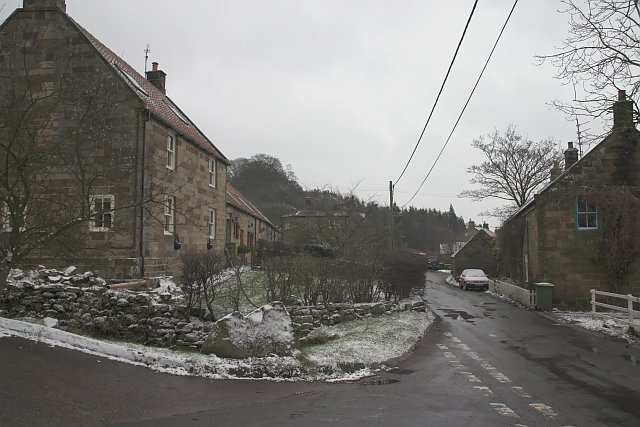
Danby, North Yorkshire
Danby is a village and civil parish in the former Scarborough district of North Yorkshire, England. According to the 2011 UK census, Danby parish had a...
Lealholm railway station
Lealholm is a railway station on the Esk Valley Line, which runs between Middlesbrough and Whitby via Nunthorpe. The station, situated 11 miles 40 chains...
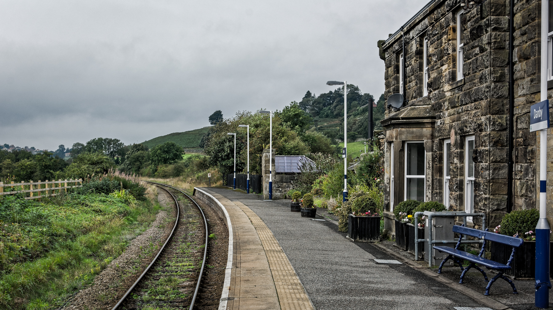
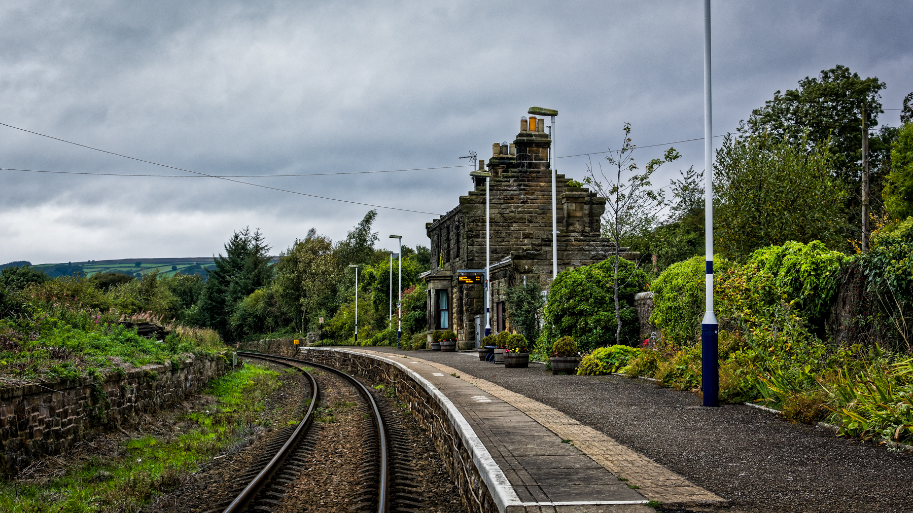
Danby railway station
Danby is a railway station on the Esk Valley Line, which runs between Middlesbrough and Whitby via Nunthorpe. The station, situated 15 miles 9 chains...
Nearby Amenities
Located within 500m of 54.473327,-0.86538061Have you been to Beacon Hill?
Leave your review of Beacon Hill below (or comments, questions and feedback).