Ancrow Brow
Hill, Mountain in Westmorland South Lakeland
England
Ancrow Brow
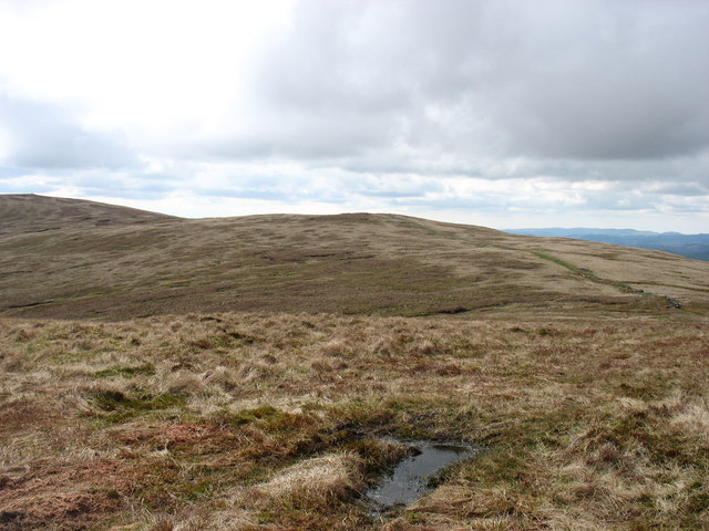
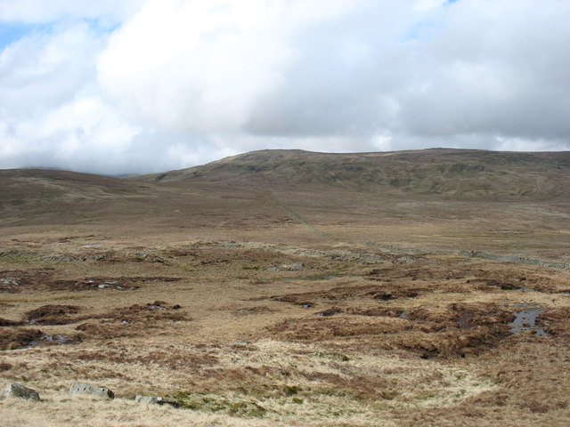
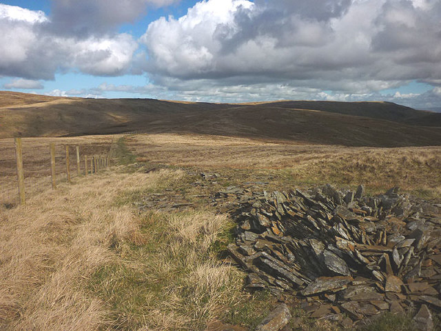
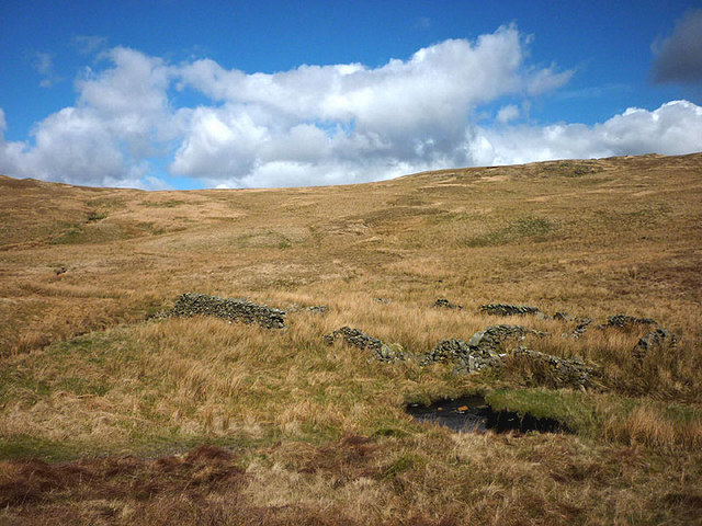
Ancrow Brow is a prominent hill located in the picturesque county of Westmorland in Northwest England. Rising to an elevation of approximately 486 meters (1,594 feet), it is considered one of the highest points in the region, offering breathtaking views of the surrounding countryside.
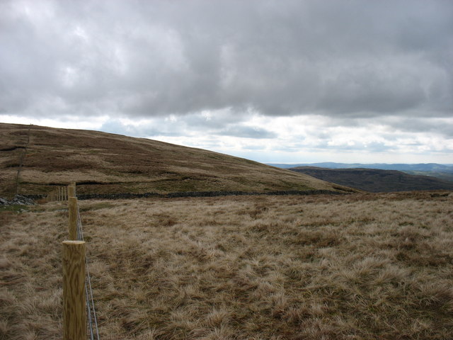
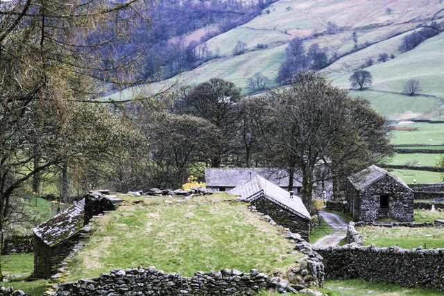
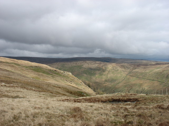
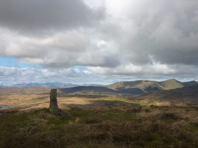
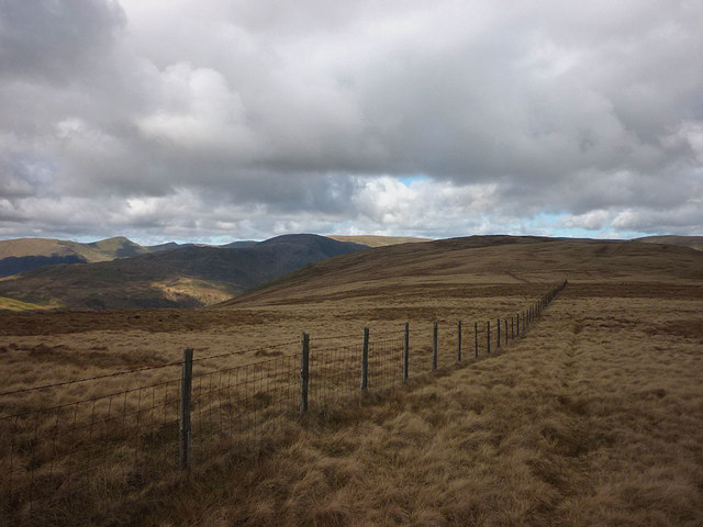
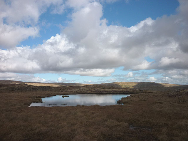
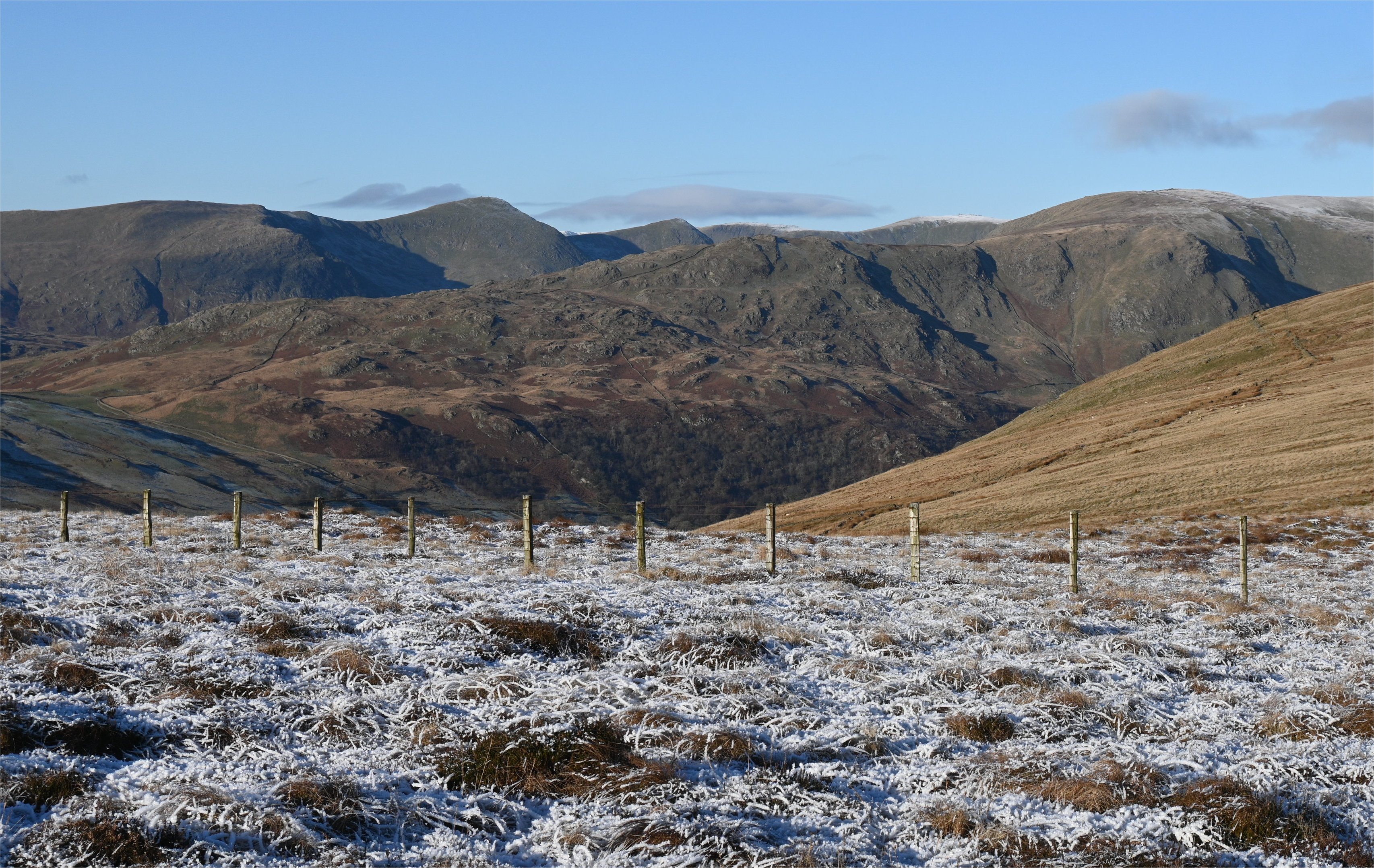
Situated within the Lake District National Park, Ancrow Brow is nestled amongst a landscape of rolling hills, verdant valleys, and shimmering lakes. It is a popular destination for outdoor enthusiasts, hikers, and nature lovers who flock to the area to experience its natural beauty and tranquility.
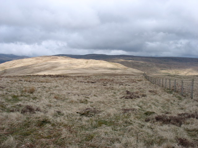
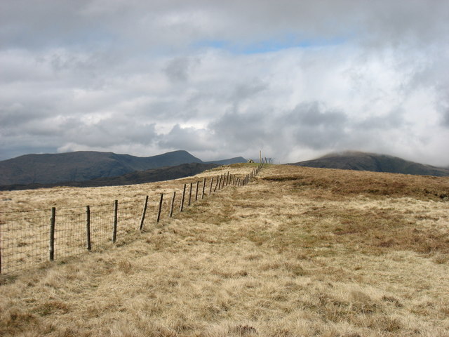
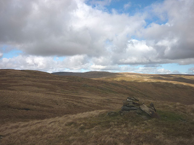
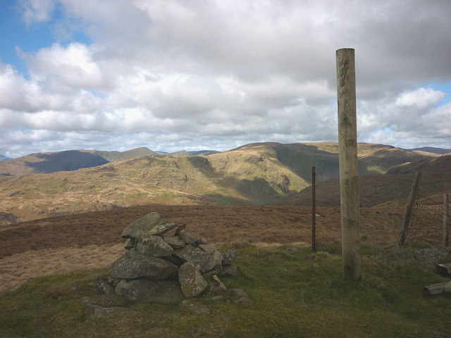
The hill is characterized by its gentle slopes and lush vegetation, with a mix of grassy meadows, heather moorland, and scattered rocky outcrops. Its summit provides spectacular panoramic vistas, exhibiting the grandeur of the nearby Lake District fells, including the famous Helvellyn range and the majestic Ullswater Lake.
Ancrow Brow is home to a diverse range of flora and fauna, including native species such as red deer, red squirrels, and various bird species. The surrounding area also boasts a rich cultural heritage, with ancient stone circles, cairns, and remnants of old mining activities adding historical interest to the landscape.
Accessing Ancrow Brow is relatively straightforward, with various footpaths and trails leading to its summit. The hill offers a rewarding and invigorating experience for those who choose to explore its slopes, offering a true taste of the natural wonders of Westmorland.
If you have any feedback on the listing, please let us know in the comments section below.
Ancrow Brow Images
Images are sourced within 2km of 54.437111/-2.7712939 or Grid Reference NY5004. Thanks to Geograph Open Source API. All images are credited.
Ancrow Brow is located at Grid Ref: NY5004 (Lat: 54.437111, Lng: -2.7712939)
Administrative County: Cumbria
District: South Lakeland
Police Authority: Cumbria
Also known as: Swinklebank Crag
What 3 Words
///stood.paddocks.damage. Near Staveley, Cumbria
Nearby Locations
Related Wikis

Sadgill
Sadgill is a hamlet in Longsleddale, Cumbria, England. It is a divided settlement, also containing Low Sadgill. == References ==

Longsleddale
Longsleddale () is a valley and civil parish in the South Lakeland district of Cumbria, England. It includes the hamlet of Sadgill. The parish has a population...

Grey Crag
Grey Crag is a fell in the English Lake District. It stands to the east of Longsleddale in the Far Eastern Fells. == Topography == North of Sadgill, the...

Tarn Crag (Far Eastern Fells)
Tarn Crag is a fell in the English Lake District. It stands to the east of Longsleddale in the Far Eastern Fells. == Topography == North of Sadgill, the...

River Sprint
The River Sprint is a river in Cumbria, England with its source high up on the south-facing side of Harter Fell. It flows into the River Kent just to...
Shipman Knotts
Shipman Knotts is a fell in the English Lake District in Cumbria, England. It reaches a height of 587 metres (1,926 ft) and is situated in one of the quieter...

Crookdale Horseshoe
The Crookdale Horseshoe is a group of hills on the eastern edge of the English Lake District, in Cumbria, west of the A6 road. They are the subject of...

Green Quarter Fell
Green Quarter Fell is an upland area in the east of the English Lake District, near Kentmere village, Cumbria. It is the subject of a chapter of Wainwright...
Nearby Amenities
Located within 500m of 54.437111,-2.7712939Have you been to Ancrow Brow?
Leave your review of Ancrow Brow below (or comments, questions and feedback).