An Dùnan

Hill, Mountain in Argyllshire

Scotland

An Dùnan

Looking to An Dùnan, Isle of Jura
Looking to An Dùnan, Isle of Jura Credit: Alpin Stewart

An Dùnan is a prominent hill located in Argyllshire, Scotland. Standing at an elevation of 496 meters (1,627 feet), it is a popular destination for hikers and mountaineers seeking breathtaking views and a challenging climb.

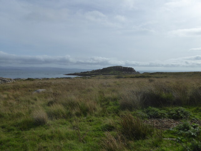
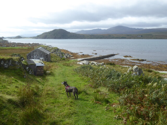
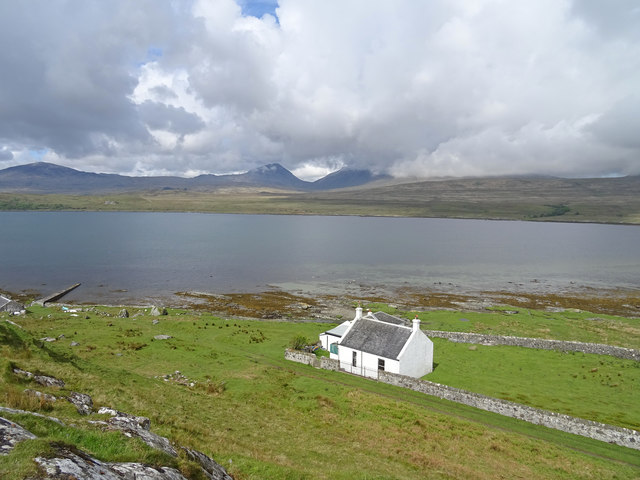
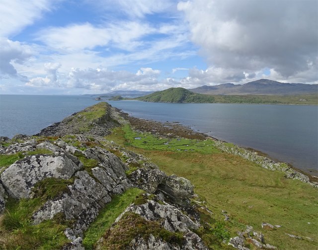
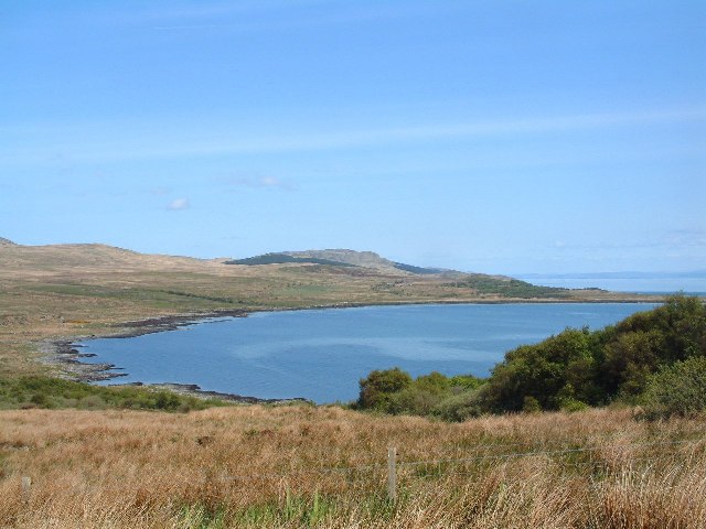
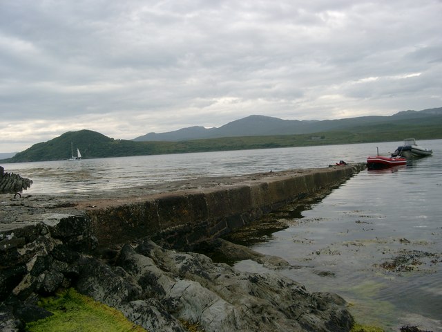
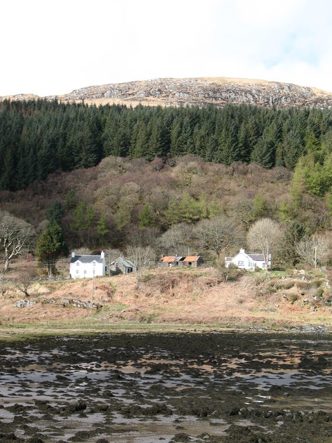
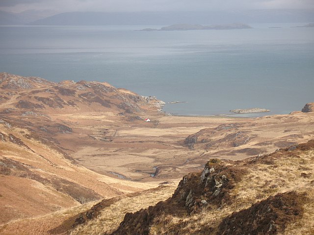
Situated in the Loch Lomond and The Trossachs National Park, An Dùnan offers stunning panoramic vistas of the surrounding landscapes. From its summit, one can admire the vast expanse of the park, with its rolling hills, dense forests, and shimmering lochs. On clear days, it is even possible to catch a glimpse of the distant Ben Lomond, the highest peak in the southern Highlands.

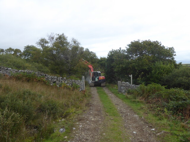
The ascent to the summit of An Dùnan presents a moderate level of difficulty, making it suitable for experienced hikers and those looking to push themselves. The path leading up the hill is well-defined but can be steep and challenging in places, requiring sturdy footwear and a good level of fitness.

Flora and fauna are abundant on An Dùnan. The lower slopes are covered in a mixture of heather, grasses, and wildflowers, while higher up, rocky outcrops and scree slopes dominate the landscape. Birdwatchers may spot species such as peregrine falcons, golden eagles, and red grouse, while the more observant may even catch a glimpse of deer or mountain hares.

An Dùnan is easily accessible, with a car park located at the base of the hill, providing a convenient starting point for the ascent. With its natural beauty and challenging terrain, An Dùnan offers an unforgettable experience for outdoor enthusiasts and nature lovers alike.

If you have any feedback on the listing, please let us know in the comments section below.

An Dùnan Images

Images are sourced within 2km of 55.889388/-5.8740993 or Grid Reference NR5773. Thanks to Geograph Open Source API. All images are credited.

Looking to An Dùnan, Isle of Jura
Bridge repairs on the track to Ardmenish
Track and pier at Rubha an Lèim, Isle of Jura
Lowlandman's Bay One of the former lighthouse keepers cottages above Lowlandsman's Bay with a grand view across to 2 of the Paps of Jura.
Lowlandman's Bay
One of the former lighthouse keepers cottages above Lowlandsman's Bay with a grand view across to 2 of the Paps of Jura.
Rubha an Leim Looking down the narrow spit of land Rubha an Leim across the entrance to Lowlandman's Bay. Craighouse is in the far distance.
Rubha an Leim
Looking down the narrow spit of land Rubha an Leim across the entrance to Lowlandman's Bay. Craighouse is in the far distance.
Moorland above Ardmenish Looking across to the northern end of Lowlandman's Bay and the Sound of Jura
Moorland above Ardmenish
Looking across to the northern end of Lowlandman's Bay and the Sound of Jura
Rubha an Lèim The edge of Lowlandman's Bay. Skervuile Lighthouse is 4.5km away.
Rubha an Lèim
The edge of Lowlandman's Bay. Skervuile Lighthouse is 4.5km away.
Lowlandman's Bay Looking across to The Light Houses on Rubha an Lèim.
Lowlandman's Bay
Looking across to The Light Houses on Rubha an Lèim.
Lowlandman's Bay Looking northeast from the track to Ardmenish.
Lowlandman's Bay
Looking northeast from the track to Ardmenish.
Lowlandman's Bay The western side of Lowlandman's Bay as viewed from Cnoc na Mile.
Lowlandman's Bay
The western side of Lowlandman's Bay as viewed from Cnoc na Mile.
The lighthouses, Rubha an Lèim These two houses on the curving spit of land known as Rubha an Lèim seem to be called "The lighthouses", though the only actual lighthouse I can see is <a href="https://www.geograph.org.uk/photo/2972799">NR6071 : Skervuile lighthouse</a> in the Sound of Jura beyond. The houses are reflected in Lowlandman's Bay an almost enclosed circular bay (see map). As can be seen, the sea was flat calm on this beautiful May evening.
In the distance is the Kintyre peninsula, and beyond that the grey bulk of the mountains of Arran.
The lighthouses, Rubha an Lèim
These two houses on the curving spit of land known as Rubha an Lèim seem to be called "The lighthouses", though the only actual lighthouse I can see is NR6071 : Skervuile lighthouse in the Sound of Jura beyond. The houses are reflected in Lowlandman's Bay an almost enclosed circular bay (see map). As can be seen, the sea was flat calm on this beautiful May evening. In the distance is the Kintyre peninsula, and beyond that the grey bulk of the mountains of Arran.
Beinn Shiantaidh - Jura The wonderful island of Jura, hardly anything there but fantastic walking and stunning views - it's got my vote!
Beinn Shiantaidh - Jura
The wonderful island of Jura, hardly anything there but fantastic walking and stunning views - it's got my vote!
Lowlandman's Bay, Jura Also known locally as Fisherman's Bay.
Lowlandman's Bay, Jura
Also known locally as Fisherman's Bay.
Ruin at Ardmenish This ruined dwelling was one of several at the Ardmenish townland, of which only one farm is still inhabited.
Ruin at Ardmenish
This ruined dwelling was one of several at the Ardmenish townland, of which only one farm is still inhabited.
Natural cascades The Abhainn a' Gharbh-achaidh near Ardmenish and taken from near the bridge over the river.
Natural cascades
The Abhainn a' Gharbh-achaidh near Ardmenish and taken from near the bridge over the river.
The slip at Lowlandman's Bay This slip serviced the nearby lighthouse keepers' houses.  The light is at Skervuil in the Sound of Jura.  Our ketch, Traigh Iar, anchored in the shallow water of the bay.
The slip at Lowlandman's Bay
This slip serviced the nearby lighthouse keepers' houses. The light is at Skervuil in the Sound of Jura. Our ketch, Traigh Iar, anchored in the shallow water of the bay.
West shore of Lowlandman's Bay The old school house and Paps of Jura in the background.
West shore of Lowlandman's Bay
The old school house and Paps of Jura in the background.
Rubh'an Leim Just round this point, Lowlandman's Bay opens out.  But it is very shallow and Craighouse generally gives a more sheltered anchorage.
Rubh'an Leim
Just round this point, Lowlandman's Bay opens out. But it is very shallow and Craighouse generally gives a more sheltered anchorage.
Show me another place!

An Dùnan is located at Grid Ref: NR5773 (Lat: 55.889388, Lng: -5.8740993)

Unitary Authority: Argyll and Bute

Police Authority: Argyll and West Dunbartonshire

Also known as: Dunan

What 3 Words

///extremely.sometimes.movie. Near Craighouse, Argyll & Bute

Nearby Locations

An Dùnan Ardmenish Dunan

Related Wikis

Ardmenish

Ardmenish (Scottish Gaelic: Àird Mhèanais) is a largely cleared village on the island of Jura, in Argyll and Bute, Scotland. In 2003 the Rozga family were...

Knockrome

Knockrome is a hamlet on the island of Jura, in the civil parish of Jura, in the council area of Argyll and Bute, Scotland. On the 1982 OS 1:10000 map...

Ardfernal

Ardfernal (Scottish Gaelic: Àird Fheàrnail) is a hamlet on the island of Jura in Argyll and Bute, Scotland. The township had 16 buildings in 1882 and 9...

Lagg, Jura

Lagg is a hamlet on Lagg Bay, on the east coast of the island of Jura, in the council area of Argyll and Bute, Scotland. It is on the A846 8 miles (13...

Small Isles, Argyll

The Small Isles are a group of uninhabited islands east of Jura, in the council area of Argyll and Bute, Scotland. From south to north, the five islands...

Beinn Shiantaidh

Beinn Shiantaidh (Scottish Gaelic for 'holy mountain') is the second highest peak of the Paps of Jura on the island of Jura, Scotland. It stands at 757...

Keils

Keils formerly Kilearnadill is a hamlet 0.25 miles (0.40 km) from Craighouse on the island of Jura, in the council area of Argyll and Bute, Scotland. Keils...

Battle of the Western Isles

The Battle of the Western Isles was a series of conflicts in 1585 and 1586 on the islands of Jura, Islay, Mull and Tiree, Scotland as well as the peninsula...

Nearby Amenities

Located within 500m of 55.889388,-5.8740993
Power: pole
Lat/Long: 55.8869035/-5.8790214
Power: pole
Lat/Long: 55.8875365/-5.8791391
Power: pole
Lat/Long: 55.8882168/-5.8792749
Power: pole
Lat/Long: 55.8888751/-5.8794047
Material: wood
Power: pole
Lat/Long: 55.8896315/-5.8795736
Material: wood
Power: pole
Lat/Long: 55.8902932/-5.8796793
Material: wood
Power: pole
Lat/Long: 55.8908939/-5.879803
Material: wood
Power: pole
Lat/Long: 55.891476/-5.8799177
Material: wood
Power: pole
Lat/Long: 55.8920598/-5.8800414
The data included in this document is from www.openstreetmap.org. The data is made available under ODbL.

Have you been to An Dùnan?

Leave your review of An Dùnan below (or comments, questions and feedback).