Middle Fell

Hill, Mountain in Cumberland Eden

England

Middle Fell

Old Milestone by the B6277, High Hundybridge Carved stone post by the B6277, in parish of ALSTON MOOR (EDEN District), High Hundybridge, on the verge next to track, on North side of road. Alston stone, erected by the Alston turnpike trust in the 19th century. 

Inscription reads:-
ALSTON
3
MIDDLETON
19 

Milestone Society National ID: CU_ALMT03.
Old Milestone by the B6277, High Hundybridge Credit: Barbara Todd

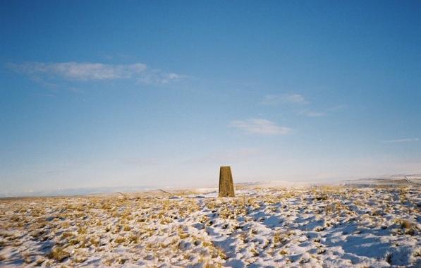
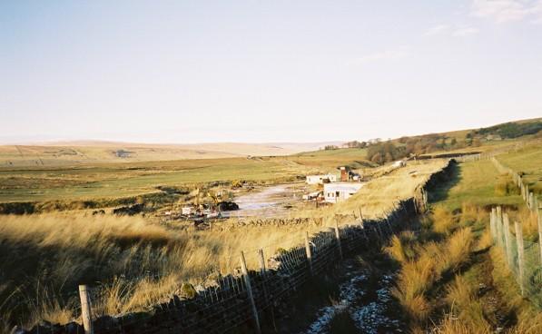
Middle Fell is a prominent hill located in the county of Cumberland, in the northwest of England. It is part of the Lake District National Park, a renowned area known for its stunning natural beauty and rugged landscapes. Middle Fell stands at an elevation of 582 meters (1,909 feet), making it a notable hill in the region.

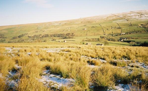
The hill is situated near the village of Wasdale Head, which lies in the remote and picturesque Wasdale Valley. Middle Fell is surrounded by other notable peaks, including Scafell Pike, the highest mountain in England, and Great Gable, a popular destination for hikers and climbers.

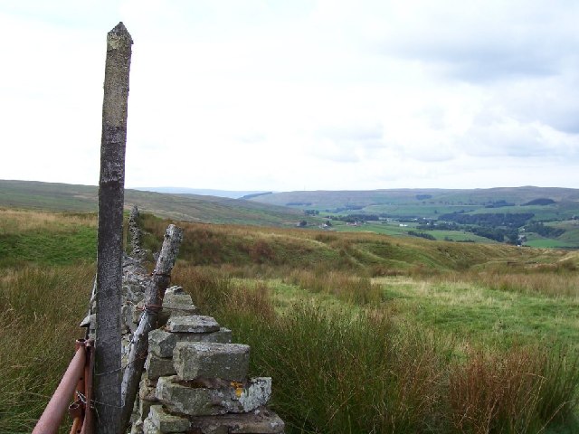
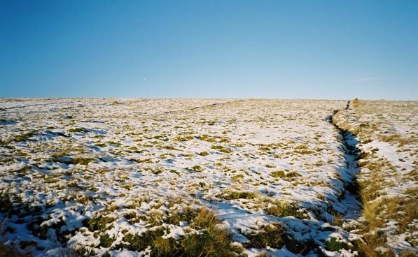
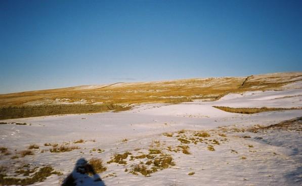
Middle Fell offers breathtaking panoramic views of the surrounding area, with vistas that stretch across the Lake District and even as far as the coast. The hill is covered in grassy slopes, providing a relatively straightforward ascent for walkers and hikers of all abilities. However, caution is advised as the weather conditions in the Lake District can change rapidly, and the terrain may become challenging, particularly in winter.

For outdoor enthusiasts, Middle Fell provides a fantastic opportunity to explore the stunning natural landscapes of the Lake District. The hill offers various walking routes, with options to combine it with nearby peaks for a more challenging adventure. It is a popular destination for those seeking a quieter and less crowded alternative to the more famous mountains in the region.

In summary, Middle Fell is a picturesque and accessible hill in Cumberland's Lake District, offering stunning views and a rewarding outdoor experience for visitors of all abilities.

If you have any feedback on the listing, please let us know in the comments section below.
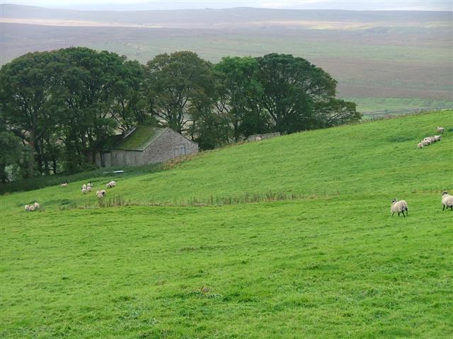
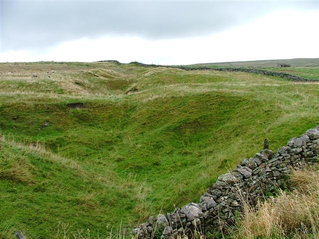
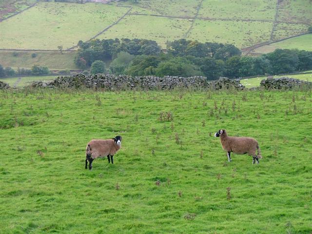
Middle Fell Images

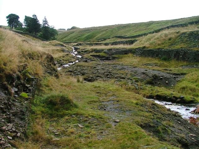
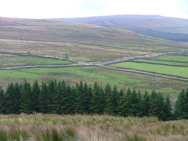
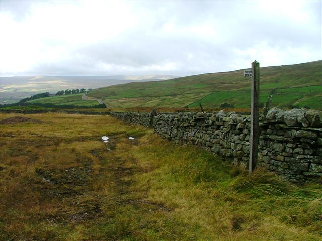
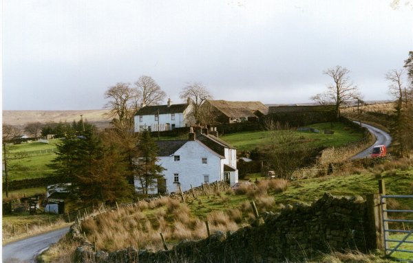
Images are sourced within 2km of 54.787919/-2.3901889 or Grid Reference NY7543. Thanks to Geograph Open Source API. All images are credited.

Old Milestone by the B6277, High Hundybridge Carved stone post by the B6277, in parish of ALSTON MOOR (EDEN District), High Hundybridge, on the verge next to track, on North side of road. Alston stone, erected by the Alston turnpike trust in the 19th century. 

Inscription reads:-
ALSTON
3
MIDDLETON
19 

Milestone Society National ID: CU_ALMT03.
Old Milestone by the B6277, High Hundybridge
Carved stone post by the B6277, in parish of ALSTON MOOR (EDEN District), High Hundybridge, on the verge next to track, on North side of road. Alston stone, erected by the Alston turnpike trust in the 19th century. Inscription reads:- ALSTON 3 MIDDLETON 19 Milestone Society National ID: CU_ALMT03.
Barn, Cropshall Wood Taken from the east on the B6277 near High Hundybridge.
Barn, Cropshall Wood
Taken from the east on the B6277 near High Hundybridge.
Line of Shake Holes, Battle Green Line of shake holes indicating limestone beneath viewed north of the B6277 in an area of Open Access fell named as Battle Green on the OS Map.
Line of Shake Holes, Battle Green
Line of shake holes indicating limestone beneath viewed north of the B6277 in an area of Open Access fell named as Battle Green on the OS Map.
Rough Grazing, South Tyne Valley Viewed from the B6277.
Rough Grazing, South Tyne Valley
Viewed from the B6277.
Carrigill Burn View upstream from just east of the B6277 towards the disused Whitesike lead mine.
Carrigill Burn
View upstream from just east of the B6277 towards the disused Whitesike lead mine.
Crossroads B6277 Looking across Carrigill Burn
Crossroads B6277
Looking across Carrigill Burn
Public Footpath to Carrigill Burn
Grassfield Farm Nenthall Cumbria Grassfield Cottage in the foreground with Grassfield Farm around the distinctive bend on the hill lane.
Grassfield Farm Nenthall Cumbria
Grassfield Cottage in the foreground with Grassfield Farm around the distinctive bend on the hill lane.
Hudgillrigg A winter scene is not uncommon at this altitude and winters are long and cold.
Hudgillrigg
A winter scene is not uncommon at this altitude and winters are long and cold.
Grassfield Lead Mines One of the old buildings used for office and the boss in the days of lead mining.
Grassfield Lead Mines
One of the old buildings used for office and the boss in the days of lead mining.
Old Boundary Wall looking Northish Boundary areas go back centuries and this incorpoates a modern footpath sign.
Old Boundary Wall looking Northish
Boundary areas go back centuries and this incorpoates a modern footpath sign.
Lime kiln, Middle Fell Just beneath the top of the fell.
Lime kiln, Middle Fell
Just beneath the top of the fell.
The top of Middle Fell A low fell that separates the Tyne and Nent valleys.
The top of Middle Fell
A low fell that separates the Tyne and Nent valleys.
Middle Fell, east of the summit On this flank there are many drainage ditches.
Middle Fell, east of the summit
On this flank there are many drainage ditches.
Middle Fell and Galligill The nearest three visible cottages are those between NY757446 and NY757450.
Middle Fell and Galligill
The nearest three visible cottages are those between NY757446 and NY757450.
Flowedge Mine and Newberryside Newberryside is now in a state of disrepair.
Flowedge Mine and Newberryside
Newberryside is now in a state of disrepair.
Junk yard, Flowedge Mine
The western flank of Middle Fell Looking northwards across an area of disused mine workings. The smooth white undulations are small spoil heaps.
The western flank of Middle Fell
Looking northwards across an area of disused mine workings. The smooth white undulations are small spoil heaps.
Show me another place!

Middle Fell is located at Grid Ref: NY7543 (Lat: 54.787919, Lng: -2.3901889)

Administrative County: Cumbria

District: Eden

Police Authority: Cumbria

Also known as: Alston Moor

What 3 Words

///encoded.lungs.retaliate. Near Alston, Cumbria

Nearby Locations

Middle Fell Alston Moor

Related Wikis

Garrigill

Garrigill, Cumbria is a small village in the North Pennine region of the UK, situated on the banks and close to the source of the River South Tyne. Historically...

Rampghill mine

Rampgill mine is a disused lead mine at Nenthead, Alston Moor, Cumbria, England UK Grid Reference: NY78184351It was one of the most extensive and productive...

Ashgill Force

Ashgill Force is a waterfall near Alston, Cumbria, England. The fall is located on Ashgill Beck and is reasonably easily accessible from the B6277 (which...

Nenthead

Nenthead ( NENT-hed) in the county of Cumbria is one of England's highest villages, at around 1,437 feet (438 m). It was not built until the middle of...

Nearby Amenities

Located within 500m of 54.787919,-2.3901889
Middle Fell
Natural: fell
Place: locality
Lat/Long: 54.7911562/-2.3884351
Abandoned: yes
Man Made: mineshaft
Lat/Long: 54.7907826/-2.3847558
Historic: lime_kiln
Lat/Long: 54.7905338/-2.3907487
Abandoned: yes
Man Made: mineshaft
Lat/Long: 54.7912706/-2.3914094
Abandoned: yes
Man Made: mineshaft
Lat/Long: 54.7914584/-2.3913222
Abandoned: yes
Man Made: mineshaft
Lat/Long: 54.7916593/-2.3913589
Abandoned: yes
Man Made: mineshaft
Lat/Long: 54.7918074/-2.3913956
Abandoned: yes
Man Made: mineshaft
Lat/Long: 54.7918286/-2.3911984
Abandoned: yes
Man Made: mineshaft
Lat/Long: 54.7919344/-2.3912488
Abandoned: yes
Man Made: mineshaft
Lat/Long: 54.7920454/-2.3911846
Abandoned: yes
Man Made: mineshaft
Lat/Long: 54.7919608/-2.3913497
Abandoned: yes
Man Made: mineshaft
Lat/Long: 54.7871984/-2.3973079
Abandoned: yes
Man Made: mineshaft
Lat/Long: 54.7860683/-2.3916415
Abandoned: yes
Man Made: mineshaft
Lat/Long: 54.7866068/-2.3923236
Abandoned: yes
Man Made: mineshaft
Lat/Long: 54.7866526/-2.3932177
Abandoned: yes
Man Made: mineshaft
Lat/Long: 54.7864426/-2.3935687
Abandoned: yes
Man Made: mineshaft
Lat/Long: 54.7861753/-2.3938137
Abandoned: yes
Man Made: mineshaft
Lat/Long: 54.7860874/-2.3931382
Abandoned: yes
Man Made: mineshaft
Lat/Long: 54.7862211/-2.3934296
Abandoned: yes
Man Made: mineshaft
Lat/Long: 54.7858376/-2.3942113
Abandoned: yes
Man Made: mineshaft
Lat/Long: 54.7857371/-2.3945736
Abandoned: yes
Man Made: mineshaft
Lat/Long: 54.7856895/-2.3947204
Abandoned: yes
Man Made: mineshaft
Lat/Long: 54.7853615/-2.395179
Abandoned: yes
Man Made: mineshaft
Lat/Long: 54.7855308/-2.3943718
Abandoned: yes
Man Made: mineshaft
Lat/Long: 54.7854726/-2.395257
The data included in this document is from www.openstreetmap.org. The data is made available under ODbL.

Have you been to Middle Fell?

Leave your review of Middle Fell below (or comments, questions and feedback).