A' Chaoirnich

Hill, Mountain in Inverness-shire

Scotland

A' Chaoirnich

A' Chaoirnich Looking through the Gaick pass to Loch Bhrodainn then Loch an t-Seilich.
A' Chaoirnich Credit: Alan Reid

A' Chaoirnich is a prominent hill located in Inverness-shire, Scotland. It stands at an elevation of 562 meters (1,844 feet) above sea level, making it a significant landmark in the area. The hill is situated near the town of Strathpeffer, offering breathtaking views of the surrounding countryside.

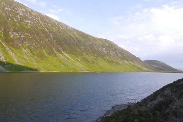
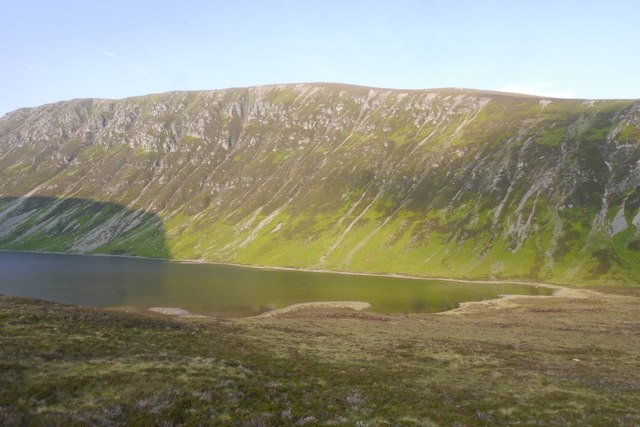
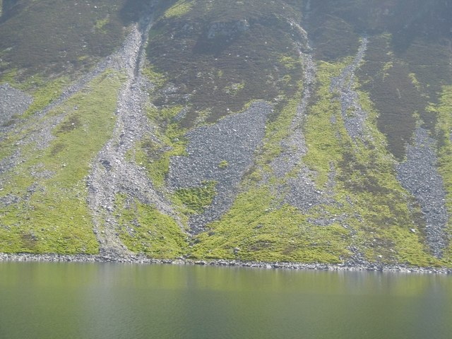
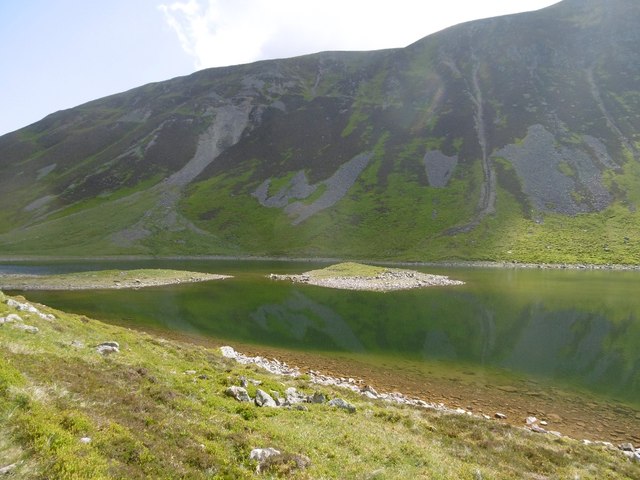
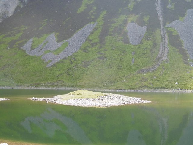
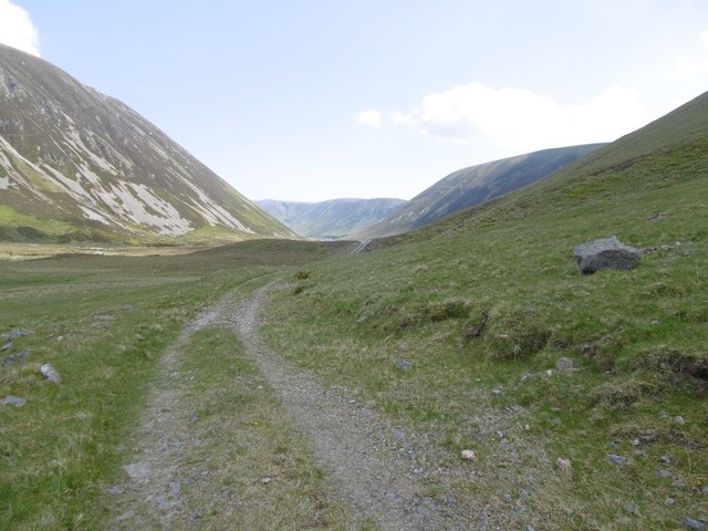
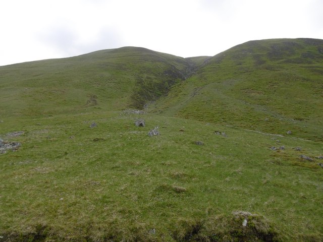
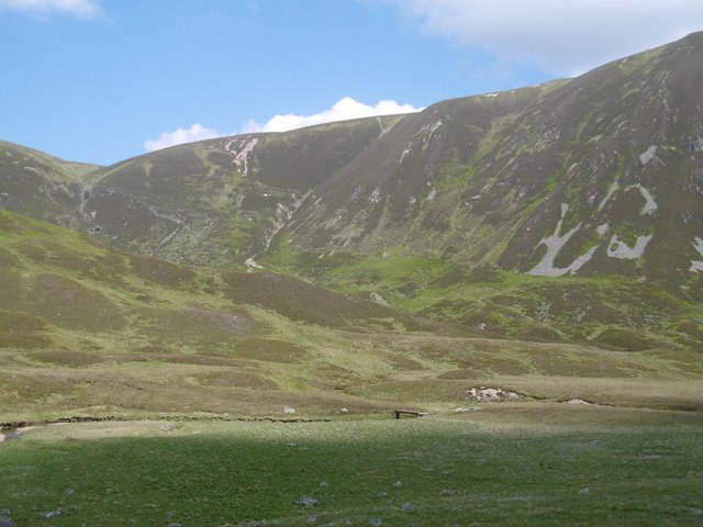
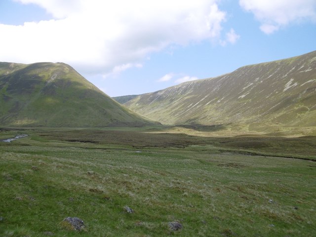
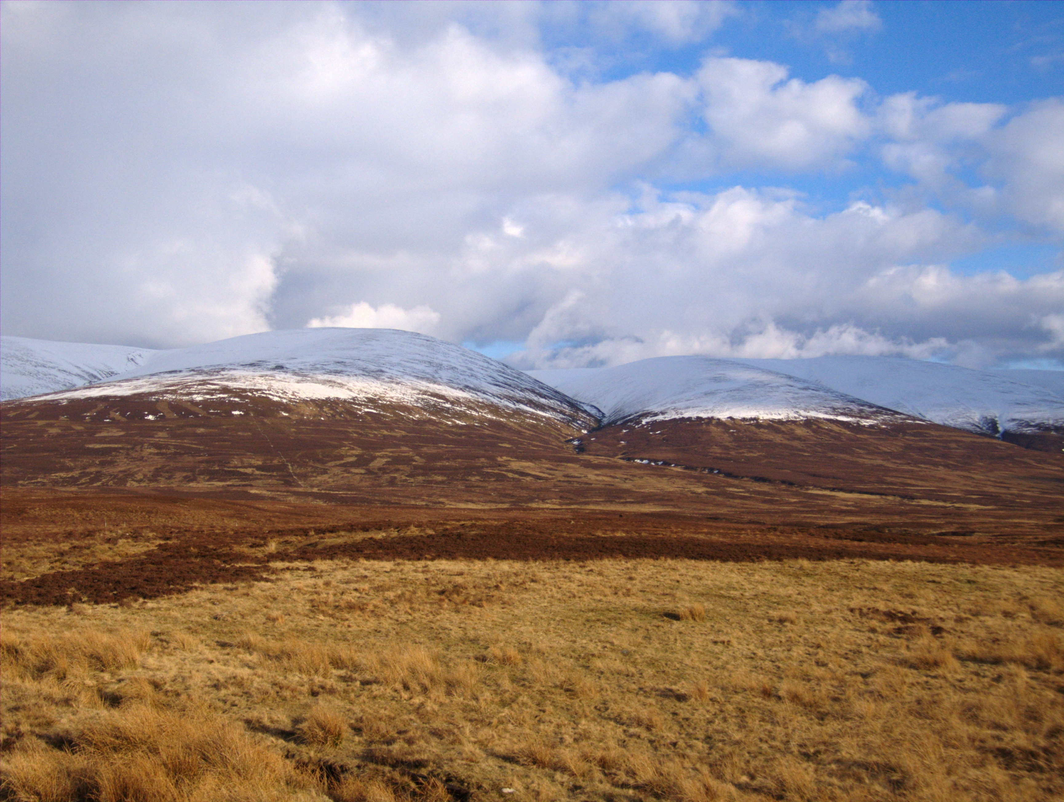
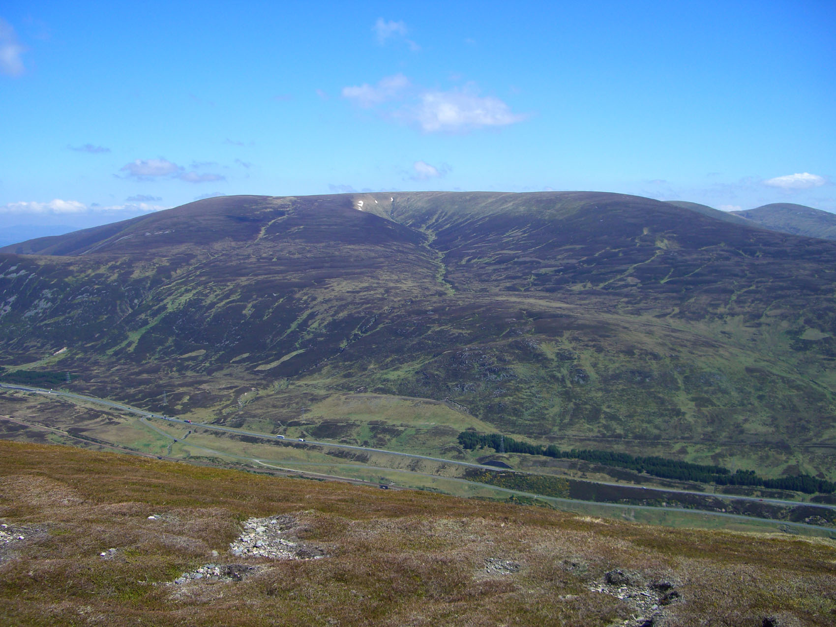
A' Chaoirnich is part of the larger mountain range known as the Ross and Cromarty Hills. It is characterized by its gently sloping sides and a distinctive pointed summit. The hill is primarily composed of rocky terrain, with some patches of heather and grass scattered across its slopes.

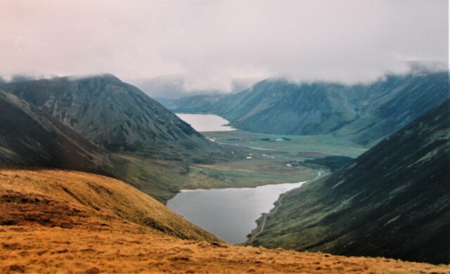
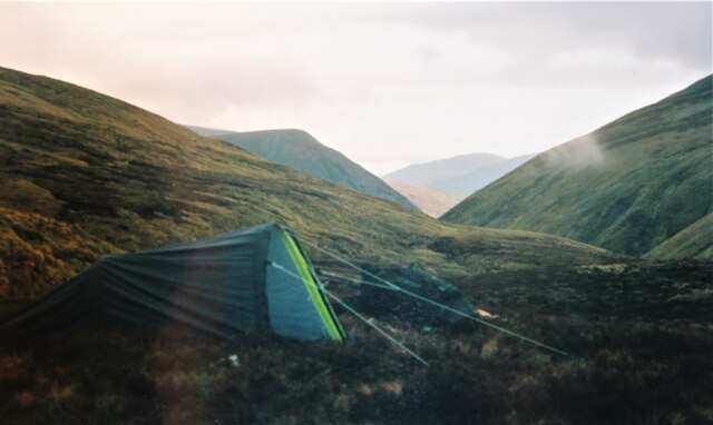
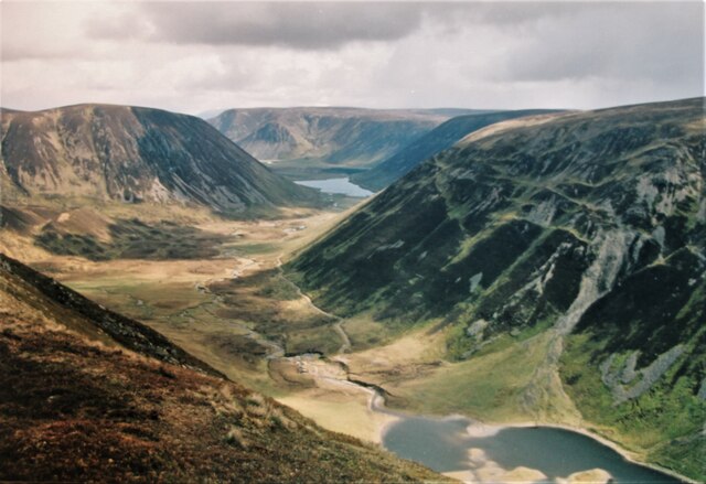
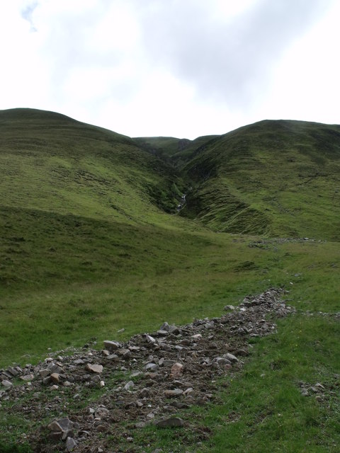
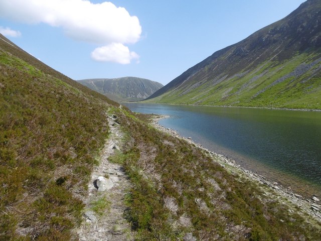
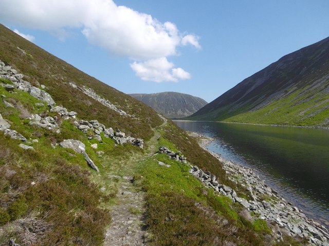
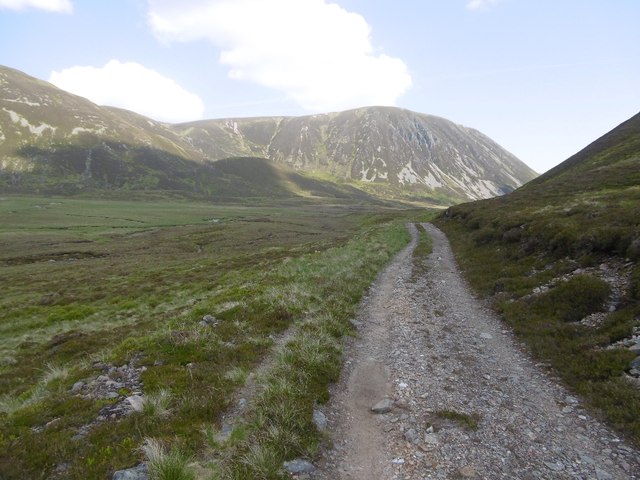
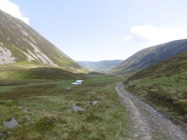
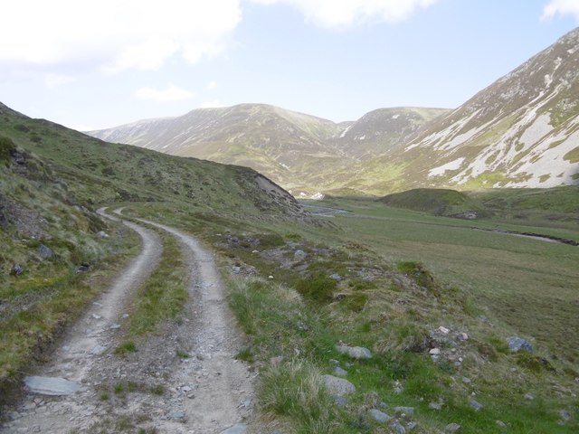
The ascent of A' Chaoirnich is a popular activity for hikers and nature enthusiasts. Several well-marked paths and trails lead to the summit, providing visitors with a variety of options for exploration. From the top, one can enjoy panoramic views of the beautiful Scottish Highlands, including nearby mountains, valleys, and lochs.

Wildlife is abundant in the area surrounding A' Chaoirnich. Birdwatchers can spot a range of species, including golden eagles, peregrine falcons, and red kites. The hill is also home to various mammals, such as red deer, mountain hares, and red squirrels.

A' Chaoirnich offers a peaceful and tranquil setting, away from the hustle and bustle of city life. Its natural beauty and stunning vistas make it a popular destination for outdoor enthusiasts seeking to immerse themselves in the Scottish Highlands' rugged charm.

If you have any feedback on the listing, please let us know in the comments section below.

A' Chaoirnich Images

Images are sourced within 2km of 56.900324/-4.0783104 or Grid Reference NN7380. Thanks to Geograph Open Source API. All images are credited.

A' Chaoirnich Looking through the Gaick pass to Loch Bhrodainn then Loch an t-Seilich.
A' Chaoirnich
Looking through the Gaick pass to Loch Bhrodainn then Loch an t-Seilich.
Camp at source of Allt a' Chaoirnich Scottish 'Alpine' start at 7am for a long day's trek.
Camp at source of Allt a' Chaoirnich
Scottish 'Alpine' start at 7am for a long day's trek.
On the East side of An Dùn A classic U-shaped glaciated valley at Gaick.
On the East side of An Dùn
A classic U-shaped glaciated valley at Gaick.
Alluvial fan, Gaick Pass Many examples of alluvial fans are found on the steep lower slopes of the Gaick Pass.  The flash flood of water coming down this burn must have been very considerable.
Alluvial fan, Gaick Pass
Many examples of alluvial fans are found on the steep lower slopes of the Gaick Pass. The flash flood of water coming down this burn must have been very considerable.
Loch an Dùin The loch is north of the Tay - Spey watershed but the county march runs through it. View towards the crags of Creag an Loch on the Perthshire side.
Loch an Dùin
The loch is north of the Tay - Spey watershed but the county march runs through it. View towards the crags of Creag an Loch on the Perthshire side.
Creag an Loch Steep slopes on one of the two Corbett listed hills either side of the Gaick Pass. Taken from the summit of the pass at just over 500m.
Creag an Loch
Steep slopes on one of the two Corbett listed hills either side of the Gaick Pass. Taken from the summit of the pass at just over 500m.
Singletrack, Gaick Pass The path between An Dùn and Loch an Dùin is narrow and traverses a steep slope.
Singletrack, Gaick Pass
The path between An Dùn and Loch an Dùin is narrow and traverses a steep slope.
Screes, Creag an Loch Scree cones at the foot of Creag an Loch, Loch an Dùin, Gaick Pass.
Screes, Creag an Loch
Scree cones at the foot of Creag an Loch, Loch an Dùin, Gaick Pass.
March dyke, Gaick Pass A short bit of wall at the Inverness-shire / Perthshire boundary which cuts across Loch an Dùin rather than following the watershed around the southern shore.
March dyke, Gaick Pass
A short bit of wall at the Inverness-shire / Perthshire boundary which cuts across Loch an Dùin rather than following the watershed around the southern shore.
Islands, Loch an Dùin Glacial deposits above the water level near the north end of the loch.
Islands, Loch an Dùin
Glacial deposits above the water level near the north end of the loch.
Island, Loch an Dùin At the north end; the loch is a lovely shade of green on a bright morning. Taken while crossing the Gaick Pass.
Island, Loch an Dùin
At the north end; the loch is a lovely shade of green on a bright morning. Taken while crossing the Gaick Pass.
Road, Gaick Pass A road now extends to just north of Loch an Dùin where the only surviving path section starts.
Road, Gaick Pass
A road now extends to just north of Loch an Dùin where the only surviving path section starts.
Road, Gaick Pass The road down to Gaick Lodge from Loch an Dùin.
Road, Gaick Pass
The road down to Gaick Lodge from Loch an Dùin.
Allt Bruthaich nan Spàrdain A burn falling off the Monadh Ghaig plateau, slopes greening up at the start of Summer.
Allt Bruthaich nan Spàrdain
A burn falling off the Monadh Ghaig plateau, slopes greening up at the start of Summer.
Bridge, Allt Loch an Dùin The northern side of the Gaick Pass under the usual steep slopes and flat topped hills.
Bridge, Allt Loch an Dùin
The northern side of the Gaick Pass under the usual steep slopes and flat topped hills.
Gaick Pass North end of An Dùn.
Gaick Pass
North end of An Dùn.
Road, Gaick Pass The road passes a vegetated lochan.
Road, Gaick Pass
The road passes a vegetated lochan.
Gaick Road Approaching the pass from the north.
Gaick Road
Approaching the pass from the north.
Show me another place!

A' Chaoirnich is located at Grid Ref: NN7380 (Lat: 56.900324, Lng: -4.0783104)

Unitary Authority: Highland

Police Authority: Highlands and Islands

Also known as: Maol Creag an Loch

What 3 Words

///rainfall.molars.resettle. Near Newtonmore, Highland

Related Wikis

Grampian Mountains

The Grampian Mountains (Scottish Gaelic: Am Monadh) is one of the three major mountain ranges in Scotland, that together occupy about half of Scotland...

Càrn na Caim

Carn na Caim (941 m) is a mountain in the Grampian Mountains of Scotland. It lies on the border of Highland and Perth and Kinross, east of the Pass of...

Meall Chuaich

Meall Chuaich (951 m) is a mountain in the Grampian Mountains of Scotland, located east of the village of Dalwhinnie. Although the mountain lacks any distinctive...

A' Bhuidheanach Bheag

A' Bhuidheanach Bheag is a Scottish mountain situated on the eastern side of the Pass of Drumochter, some 24 km WNW of Blair Atholl. The mountain straddles...

Nearby Amenities

Located within 500m of 56.900324,-4.0783104
A' Chaoirnich
Alt Name: Maol Creag an Loch
Corbett: yes
Ele: 875
Graham: no
Marilyn: yes
Munro: no
Natural: peak
Prominence: 213
Source: NPE
Wikidata: Q13129923
Lat/Long: 56.9017149/-4.0775795
The data included in this document is from www.openstreetmap.org. The data is made available under ODbL.

Have you been to A' Chaoirnich?

Leave your review of A' Chaoirnich below (or comments, questions and feedback).