Bloodmoor Hill
Hill, Mountain in Suffolk East Suffolk
England
Bloodmoor Hill
Bloodmoor Hill is a prominent natural landmark located in Suffolk, England. Despite its name, it is not a hill but rather a small and gentle rise in the landscape, more commonly referred to as a hill in the local area. Situated in the heart of the county, it stands at an elevation of approximately 100 meters above sea level.
The hill is surrounded by picturesque countryside, featuring rolling green fields, hedgerows, and scattered woodlands. Its location offers visitors and locals alike stunning panoramic views of the surrounding landscape, including the nearby villages and towns.
Bloodmoor Hill is known for its rich historical significance. It is believed to have been formed during the last ice age, with evidence of ancient settlements and burial mounds found in the vicinity. The hill has also been referred to in various historical documents, contributing to its cultural heritage.
Today, the hill serves as a popular destination for outdoor activities such as hiking and walking. Several footpaths and trails traverse the area, providing opportunities for individuals to explore the natural beauty of the Suffolk countryside. The hill is also home to a diverse range of flora and fauna, including wildflowers, birds, and small mammals.
Overall, Bloodmoor Hill offers visitors a tranquil escape from the bustling towns and cities, providing an opportunity to appreciate the natural beauty and historical significance of the Suffolk countryside.
If you have any feedback on the listing, please let us know in the comments section below.
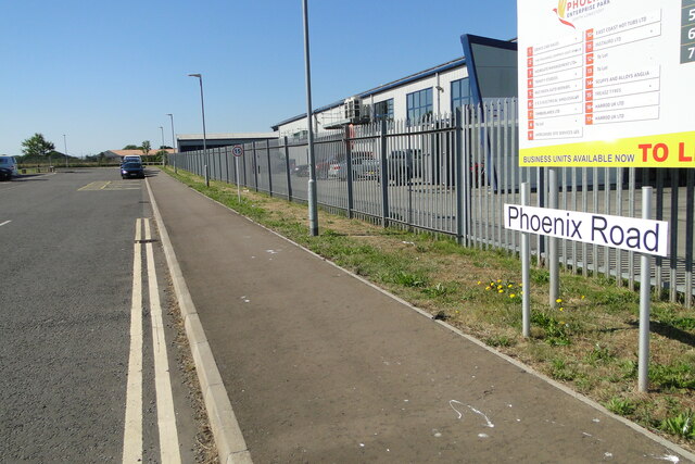
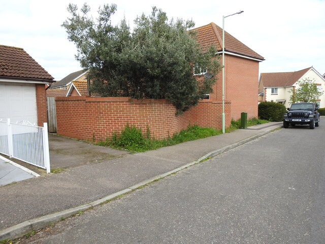
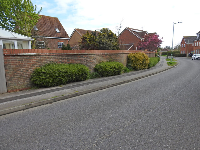
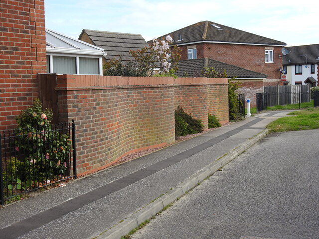
Bloodmoor Hill Images
Images are sourced within 2km of 52.447328/1.6971296 or Grid Reference TM5189. Thanks to Geograph Open Source API. All images are credited.


Bloodmoor Hill is located at Grid Ref: TM5189 (Lat: 52.447328, Lng: 1.6971296)
Administrative County: Suffolk
District: East Suffolk
Police Authority: Suffolk
What 3 Words
///rhino.submits.rock. Near Kessingland, Suffolk
Nearby Locations
Related Wikis

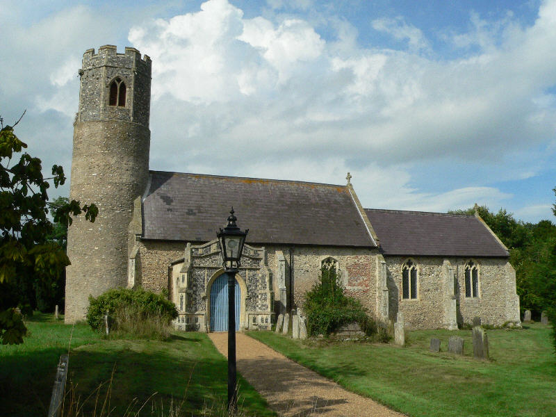
St Peter's Church, Carlton Colville
St. Peter's Church is the Anglican parish church in the village of Carlton Colville, near Lowestoft in Suffolk, England. It is a small church with 13th...

Carlton Colville
Carlton Colville is a civil parish and suburb of Lowestoft in the English county of Suffolk. It is 3 miles (5 km) south-west of the centre of the town...
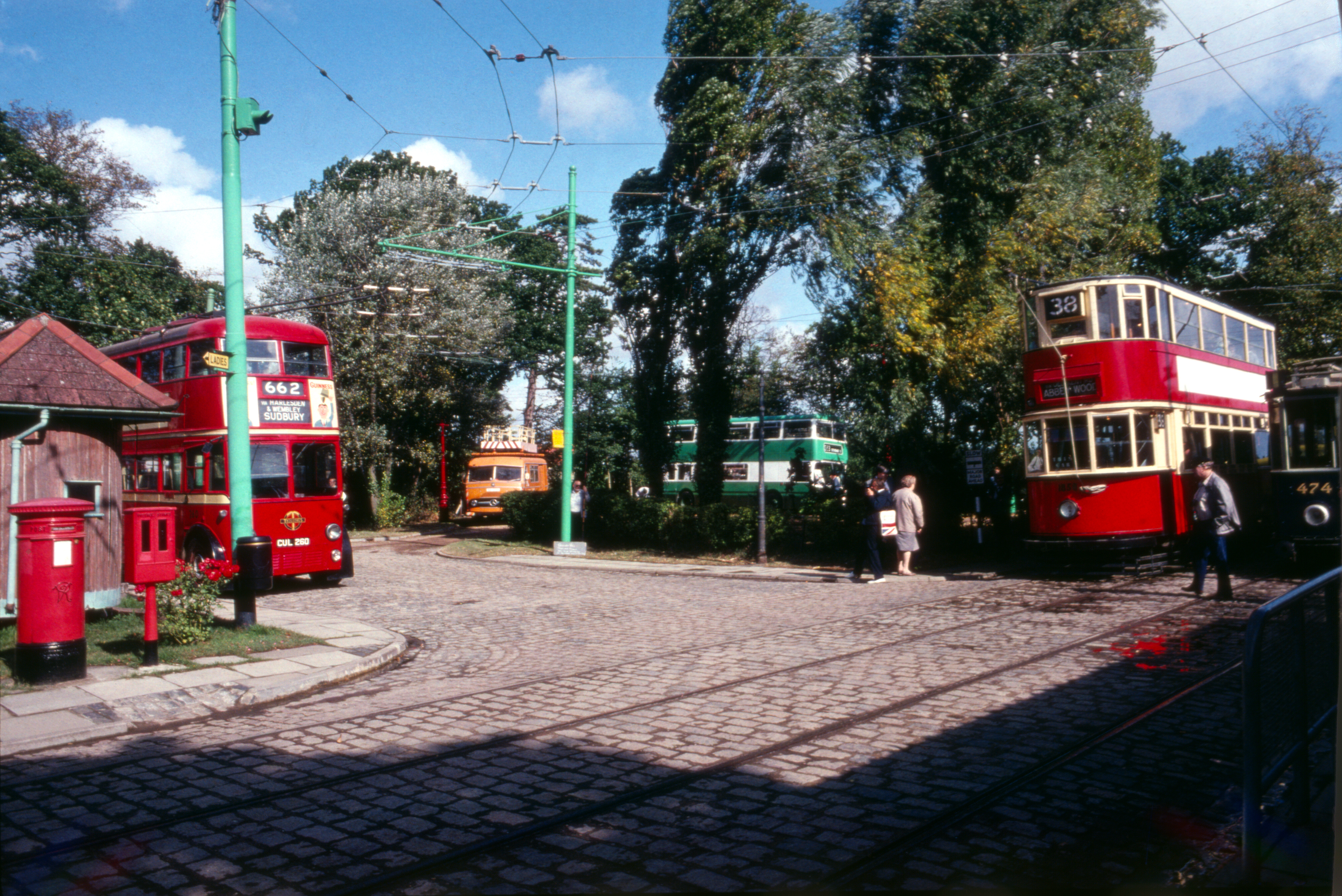
East Anglia Transport Museum
The East Anglia Transport Museum is an open-air transport museum, with numerous historic public transport vehicles (including many in full working order...
Gisleham
Gisleham is a village and civil parish in the English county of Suffolk. It is on the edge of Lowestoft, around 4.5 miles (7.2 km) south-west of the town...
Nearby Amenities
Located within 500m of 52.447328,1.6971296Have you been to Bloodmoor Hill?
Leave your review of Bloodmoor Hill below (or comments, questions and feedback).