Skilman's Hill
Hill, Mountain in Suffolk East Suffolk
England
Skilman's Hill

Skilman's Hill, located in Suffolk, is a prominent hill that offers breathtaking views and is a popular destination for outdoor enthusiasts and nature lovers. While Suffolk is not known for its mountainous terrain, Skilman's Hill stands out as a notable elevation in the region.
Rising to an impressive height of approximately 150 meters (500 feet), Skilman's Hill is characterized by its gently sloping sides and a relatively flat summit. The hill is covered in lush green vegetation, including vibrant wildflowers, heather, and grasses, adding to its picturesque charm.
With its strategic location, Skilman's Hill provides visitors with sweeping panoramic views of the surrounding countryside. On clear days, one can see for miles, taking in the patchwork of fields, meandering rivers, and quaint villages that dot the landscape. The hill's vantage point also offers a unique perspective of the distant Suffolk coast, providing glimpses of the North Sea and its ever-changing tides.
Skilman's Hill is a popular spot for outdoor activities such as hiking, walking, and picnicking. The well-maintained trails leading to the summit make it accessible to visitors of all ages and abilities. At the top, there is a small viewing platform, allowing visitors to pause and appreciate the beauty of the surroundings.
Overall, Skilman's Hill stands as a testament to the natural beauty and diversity of Suffolk's landscape. Its elevation, stunning views, and accessibility make it a must-visit destination for those seeking a serene escape into nature.
If you have any feedback on the listing, please let us know in the comments section below.
Skilman's Hill Images
Images are sourced within 2km of 52.324822/1.6782645 or Grid Reference TM5076. Thanks to Geograph Open Source API. All images are credited.


Skilman's Hill is located at Grid Ref: TM5076 (Lat: 52.324822, Lng: 1.6782645)
Administrative County: Suffolk
District: East Suffolk
Police Authority: Suffolk
What 3 Words
///pairings.drifter.etchings. Near Southwold, Suffolk
Related Wikis
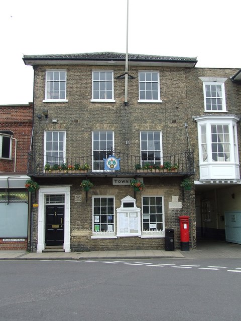
Southwold Town Hall
Southwold Town Hall is a municipal building in the Market Place in Southwold, Suffolk, England. The building, which is the meeting place of Southwold Town...

Southwold Sailors' Reading Room
The Southwold Sailors' Reading Room is a Grade II listed building on the seafront at Southwold, England. It was built in 1864 as a place for fishermen...
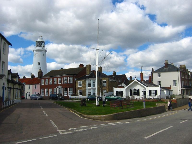
Southwold
Southwold is a seaside town and civil parish on the North Sea, in the East Suffolk district, in the county of Suffolk, England. It lies at the mouth of...

Adnams
Adnams is a regional brewery founded in 1872 in Southwold, Suffolk, England, by George and Ernest Adnams. It produces cask ale and bottled beers. Annual...
Nearby Amenities
Located within 500m of 52.324822,1.6782645Have you been to Skilman's Hill?
Leave your review of Skilman's Hill below (or comments, questions and feedback).