Barnhead
Settlement in Angus
Scotland
Barnhead
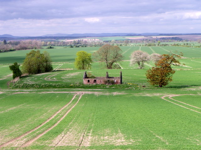
Barnhead is a small village located in the Angus region of Scotland. Situated approximately 7 miles northwest of Montrose, it is nestled amidst picturesque countryside and offers a peaceful and tranquil setting for its residents. The village is characterized by its charming rural atmosphere and close-knit community.
With a population of around 500 people, Barnhead is a close community where neighbors often know each other by name. The village is primarily residential, with a mix of traditional stone cottages and modern houses. The surrounding farmland adds to the village's rustic appeal and provides stunning views of the scenic countryside.
Despite its small size, Barnhead offers a range of amenities for its residents. These include a primary school, a community hall, and a local shop for everyday essentials. For more extensive shopping and leisure facilities, the nearby town of Montrose provides a wider range of options.
Barnhead's location also makes it an ideal base for outdoor enthusiasts. The village is surrounded by rolling hills and offers easy access to various walking and cycling trails. Additionally, the nearby Montrose Basin Nature Reserve is a popular spot for birdwatching and wildlife enthusiasts.
Overall, Barnhead is a charming village that offers a peaceful and close-knit community lifestyle. Its idyllic setting, range of amenities, and proximity to nature make it an attractive place to live for those seeking a quieter and more rural way of life.
If you have any feedback on the listing, please let us know in the comments section below.
Barnhead Images
Images are sourced within 2km of 56.707844/-2.548808 or Grid Reference NO6657. Thanks to Geograph Open Source API. All images are credited.


Barnhead is located at Grid Ref: NO6657 (Lat: 56.707844, Lng: -2.548808)
Unitary Authority: Angus
Police Authority: Tayside
What 3 Words
///prepares.wildfires.defender. Near Montrose, Angus
Nearby Locations
Related Wikis

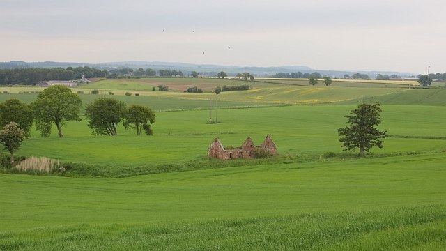
Old Montrose
Old Montrose is an estate in Montrose, Angus, Scotland. The lands and house of Old Montrose were given to David de Graham of Kincardine, in exchange for...

Bridge of Dun
Bridge of Dun is a village in Angus, Scotland, located north of the River South Esk and south of the A935 road from Brechin to Montrose. == History... ==

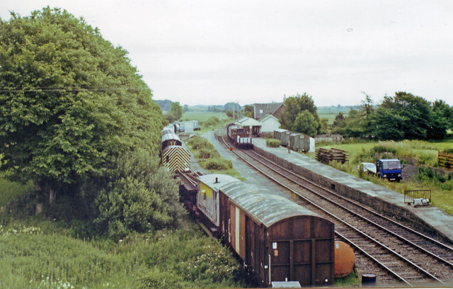
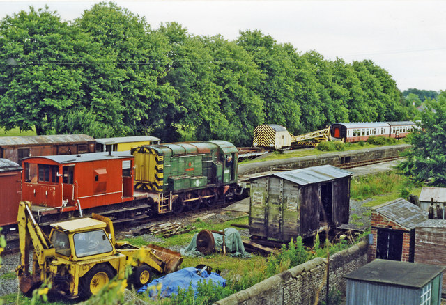
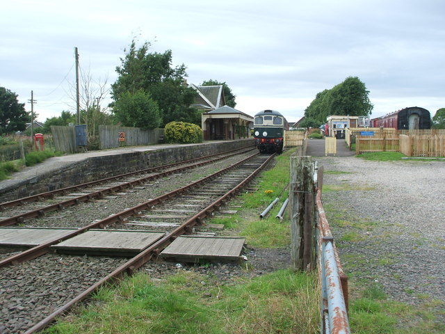
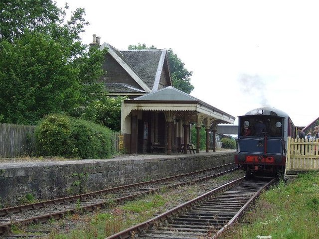
Bridge of Dun railway station
Bridge of Dun is a privately owned station in Angus. The adjacent platforms and line are independently operated as a preserved railway by the Caledonian...
Dun, Angus
Dun is a rural parish in Angus, Scotland. It contains the House of Dun, home of the Erskine family and is a stop on the Caledonian Railway. It is located...
Nearby Amenities
Located within 500m of 56.707844,-2.548808Have you been to Barnhead?
Leave your review of Barnhead below (or comments, questions and feedback).