Knaphill
Settlement in Surrey Woking
England
Knaphill

Knaphill is a charming village located in the county of Surrey, England. Situated about 20 miles southwest of London, it falls within the borough of Woking. With a population of around 8,000 residents, Knaphill offers a close-knit community atmosphere while still providing easy access to the amenities of a larger town.
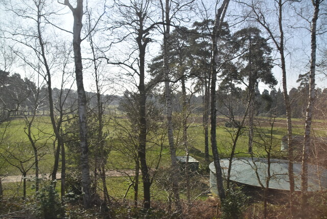
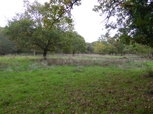
The village is surrounded by picturesque countryside, making it an ideal location for those who appreciate natural beauty. Horsell Common, a large heathland area, is nearby and provides a wonderful place for leisurely walks and outdoor activities. The Basingstoke Canal also runs through Knaphill, offering scenic views and opportunities for boating and fishing.
Knaphill has a rich history, with some parts dating back to medieval times. The village has retained much of its old-world charm, with a variety of historic buildings and landmarks. The Holy Trinity Church, a Grade II listed building, is a prominent feature of the village and offers a glimpse into Knaphill's past.
In terms of amenities, Knaphill has a range of shops, restaurants, and pubs to cater to its residents' needs. The village also boasts excellent transport links, with regular bus services and a nearby train station providing easy access to London and other neighboring towns.
Overall, Knaphill offers a serene and peaceful setting, making it an ideal place for families and individuals seeking a rural lifestyle while still being within commuting distance of the city.
If you have any feedback on the listing, please let us know in the comments section below.
Knaphill Images
Images are sourced within 2km of 51.315655/-0.615439 or Grid Reference SU9658. Thanks to Geograph Open Source API. All images are credited.


Knaphill is located at Grid Ref: SU9658 (Lat: 51.315655, Lng: -0.615439)
Administrative County: Surrey
District: Woking
Police Authority: Surrey
What 3 Words
///credit.cowboy.admire. Near Knaphill, Surrey
Nearby Locations
Related Wikis
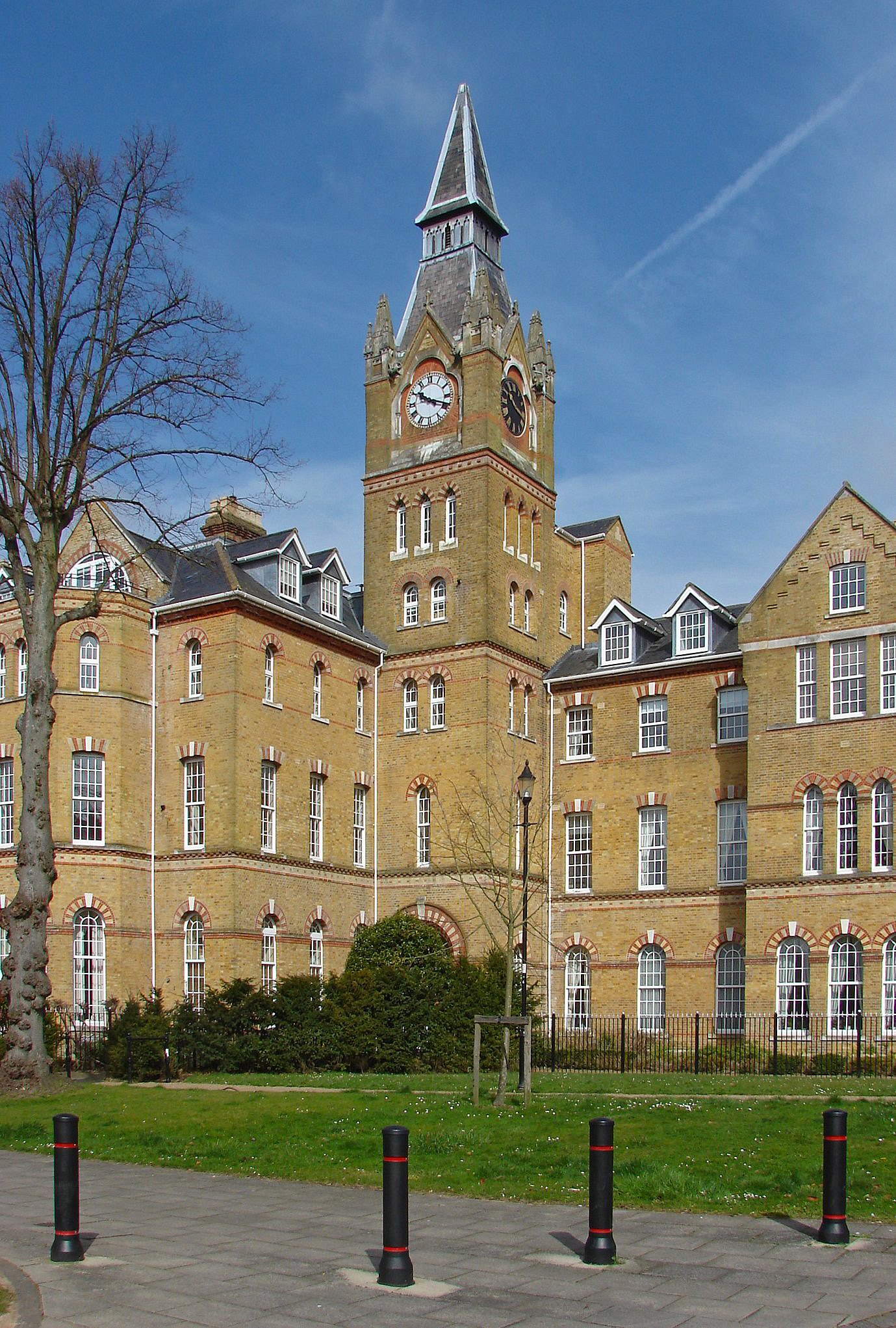
Brookwood Hospital
Brookwood Hospital at Knaphill (near Woking) in Surrey, was established in 1867 by Surrey Quarter Sessions as the second County Asylum, the first being...

Knaphill
Knaphill is a village in Surrey, England, between Woking to the east and Farnborough to the west; to the south and north on the A322 – its western border...

Knaphill F.C.
Knaphill Football Club is a football club based in Knaphill, Surrey, England. They are currently members of the Combined Counties League Premier Division...

Inkerman Barracks
Inkerman Barracks was a military establishment on Raglan Terrace, Knaphill, Surrey, England. == History == The facilities on the 65-acre site were originally...

Woking Crematorium
Woking Crematorium is a crematorium in Woking, a large town in the west of Surrey, England. Established in 1878, it was the first custom-built crematorium...
Brookwood Lye
Brookwood Lye is a 22-hectare (54-acre) nature reserve in Brookwood in Surrey. It is managed by the Surrey Wildlife Trust.This is mainly wet grassland...

The Winston Churchill School, Woking
The Winston Churchill School is a comprehensive, secondary school in Woking, England. The school was established in 1967. It is near Knaphill, Bisley,...

Mizens Railway
Mizens Railway is a 7¼ inch gauge miniature railway located in a 10-acre site near Woking in Surrey, England. The railway comprises three routes, the...
Nearby Amenities
Located within 500m of 51.315655,-0.615439Have you been to Knaphill?
Leave your review of Knaphill below (or comments, questions and feedback).