Coxon's Hill
Hill, Mountain in Kent Thanet
England
Coxon's Hill
Coxon's Hill is a prominent natural landmark located in the county of Kent, England. Situated near the village of Coxon, this hill is known for its picturesque views and varied topography. While not classified as a mountain due to its height, Coxon's Hill is a notable elevation in the area.
The hill is part of the North Downs, a ridge of chalk hills that stretches across southeast England. Standing at an elevation of approximately 150 meters (492 feet), Coxon's Hill offers breathtaking vistas of the surrounding countryside. On a clear day, visitors can see the rolling hills, meandering rivers, and lush green fields that characterize the region.
The hill itself is covered in grass and sparse vegetation, providing a tranquil and idyllic setting for outdoor activities such as picnicking, walking, and birdwatching. The area is home to a variety of wildlife, including rabbits, foxes, and numerous species of birds.
Coxon's Hill is easily accessible, with well-marked footpaths leading up to its summit. The hill attracts both locals and tourists alike, who come to enjoy the peaceful ambiance and take in the panoramic views. Additionally, the hill is a popular spot for paragliding, offering enthusiasts the opportunity to soar above the landscape and experience an adrenaline-filled adventure.
Overall, Coxon's Hill is a beautiful natural feature that showcases the charm and beauty of the Kentish countryside. Its elevated position and stunning vistas make it a must-visit destination for nature lovers and outdoor enthusiasts.
If you have any feedback on the listing, please let us know in the comments section below.
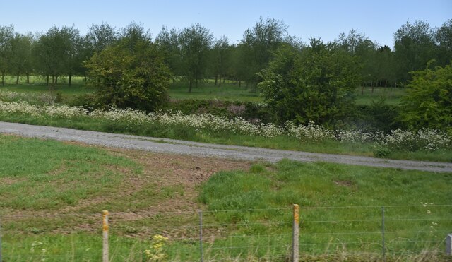
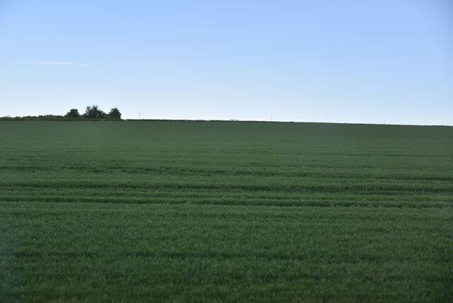
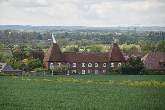
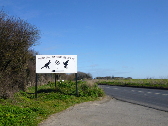
Coxon's Hill Images
Images are sourced within 2km of 51.329269/1.2622907 or Grid Reference TR2763. Thanks to Geograph Open Source API. All images are credited.


Coxon's Hill is located at Grid Ref: TR2763 (Lat: 51.329269, Lng: 1.2622907)
Administrative County: Kent
District: Thanet
Police Authority: Kent
What 3 Words
///affords.standards.capillary. Near Ash, Kent
Nearby Locations
Related Wikis
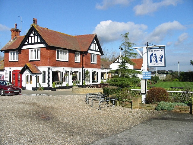
Plucks Gutter
Plucks Gutter is a hamlet in the civil parish of Stourmouth, Kent, England. The hamlet is situated where the Little Stour and Great Stour rivers meet...

Little Stour
The Little Stour is one of the tributaries of the River Stour in the English county of Kent. The upper reaches of the river is known as the Nailbourne...
Monkton, Kent
Monkton is a village and civil parish in the Thanet District of Kent, England. The village is located at the south-west edge of the Isle of Thanet and...

Sarre Windmill
Sarre Windmill is a Grade II listed smock mill in Sarre, Kent, England, that was built in 1820. Formerly restored and working commercially, the mill is...
Nearby Amenities
Located within 500m of 51.329269,1.2622907Have you been to Coxon's Hill?
Leave your review of Coxon's Hill below (or comments, questions and feedback).