Totter's Hill

Hill, Mountain in Norfolk North Norfolk

England

Totter's Hill

St Mary, Antingham
St Mary, Antingham Credit: John Salmon

Totter's Hill is a prominent geographical feature located in the county of Norfolk, England. Despite its name, Totter's Hill is not a true hill or mountain, but rather a gently sloping area of elevated terrain. It is situated near the village of Totter's Hill, approximately 5 miles northeast of the market town of Dereham.

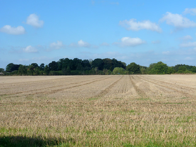
The hill offers stunning panoramic views of the surrounding Norfolk countryside, with its highest point reaching an elevation of around 50 meters above sea level. The landscape surrounding Totter's Hill is characterized by rolling farmland, scattered woodland, and picturesque meadows. This makes it a popular spot for nature enthusiasts, walkers, and cyclists who seek to immerse themselves in the tranquility and natural beauty of the area.

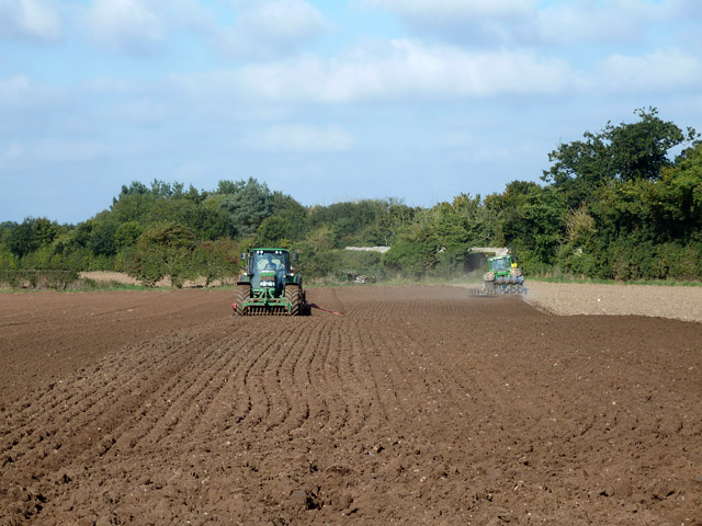
The hill is also notable for its historical significance. It is believed to have been in use since prehistoric times, as evidenced by the discovery of ancient burial mounds and artifacts in the vicinity. Additionally, Totter's Hill has been used for agricultural purposes for centuries, with evidence of medieval field systems still visible in the landscape.

Access to Totter's Hill is relatively easy, with several footpaths and bridleways crisscrossing the area, allowing visitors to explore and enjoy the surroundings. The hill is also located near a network of country lanes, providing convenient access for those traveling by car.

Overall, Totter's Hill in Norfolk offers a serene and picturesque experience for those seeking natural beauty and a glimpse into the region's rich history.

If you have any feedback on the listing, please let us know in the comments section below.

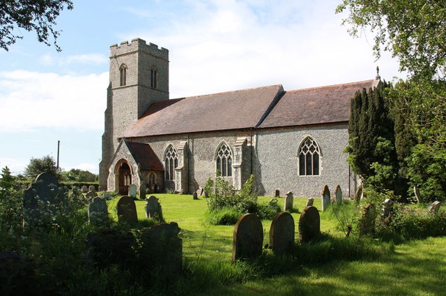
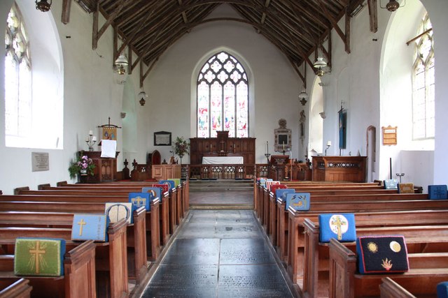
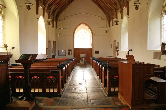
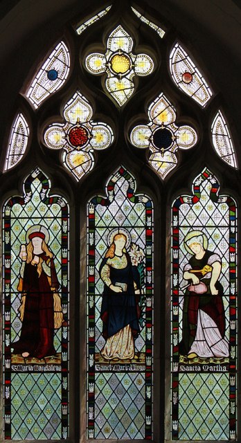
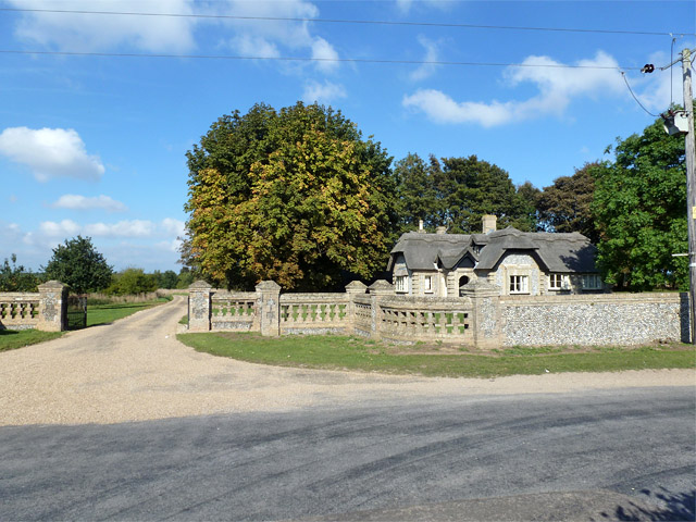
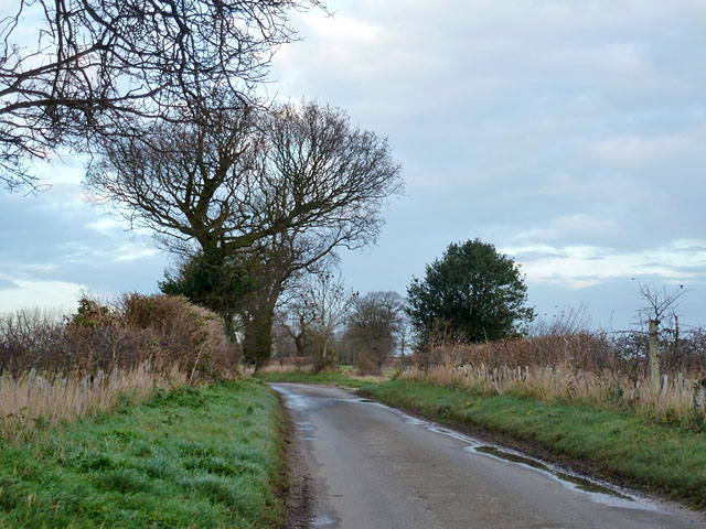
Totter's Hill Images

Images are sourced within 2km of 52.837024/1.337368 or Grid Reference TG2431. Thanks to Geograph Open Source API. All images are credited.

St Mary, Antingham
St Mary, Antingham
St Mary, Antingham - East end
St Mary, Antingham - Stained glass window
St Mary, Antingham - West end
St Mary, Antingham - Stained glass window
St Mary, Antingham - Font
Field of stubble near Antingham Looking towards Antingham Hall, mostly hidden by trees.
Field of stubble near Antingham
Looking towards Antingham Hall, mostly hidden by trees.
Two tractors at work The tractor on the right appears to be ploughing and harrowing in one pass, with an offset harrow working its previous ploughing pass. That on the left seems to be raking and seeding in one pass, with a front mounted rake.
Two tractors at work
The tractor on the right appears to be ploughing and harrowing in one pass, with an offset harrow working its previous ploughing pass. That on the left seems to be raking and seeding in one pass, with a front mounted rake.
A brown field Judging by the activity further east in this field, this has recently been ploughed and seeded.
A brown field
Judging by the activity further east in this field, this has recently been ploughed and seeded.
Suffield Lodge and gate At one of the entrances (signed 'Strictly Private') to Gunton Park.
Suffield Lodge and gate
At one of the entrances (signed 'Strictly Private') to Gunton Park.
Lane from Felmingham to Antingham A farm track to Aylsham Road Farm turns right ahead.
Lane from Felmingham to Antingham
A farm track to Aylsham Road Farm turns right ahead.
Feeder from Antingham Ponds Looking towards Antingham Lodge, part of which was once a water powered bone mill on the pond dam. The channel here provided water for another lower bone mill situated close to the terminal basin of the North Walsham and Dilham Canal, as well as supplying the canal. There seems to be very little water even in winter. There was never any navigable connection of this channel to the canal, as it was at a higher level, above the lower mill. It has been stated (without source references) that this channel was 'only navigable by shallow draught lighters', and there was a 'fleet of lighters' working between the two bone mills. This seems very unlikely, there being inadequate traffic, and certainly by the map of 1885 the layout of the waterways involved meant only very short, narrow boats would stand a hope of a passage, even if they could get under the low bridges.
Feeder from Antingham Ponds
Looking towards Antingham Lodge, part of which was once a water powered bone mill on the pond dam. The channel here provided water for another lower bone mill situated close to the terminal basin of the North Walsham and Dilham Canal, as well as supplying the canal. There seems to be very little water even in winter. There was never any navigable connection of this channel to the canal, as it was at a higher level, above the lower mill. It has been stated (without source references) that this channel was 'only navigable by shallow draught lighters', and there was a 'fleet of lighters' working between the two bone mills. This seems very unlikely, there being inadequate traffic, and certainly by the map of 1885 the layout of the waterways involved meant only very short, narrow boats would stand a hope of a passage, even if they could get under the low bridges.
Antingham level crossing The crossing road is Southrepps Road, but the far warning lights have two heads pointing in different directions, as Pond Road (the viewpoint) forms a tee junction very close to the crossing.
Antingham level crossing
The crossing road is Southrepps Road, but the far warning lights have two heads pointing in different directions, as Pond Road (the viewpoint) forms a tee junction very close to the crossing.
St Mary, Antingham
St Mary, Antingham
St Mary, Antingham - Doorway
St Mary, Antingham - Wall monuments
Show me another place!

Totter's Hill is located at Grid Ref: TG2431 (Lat: 52.837024, Lng: 1.337368)

Administrative County: Norfolk

District: North Norfolk

Police Authority: Norfolk

What 3 Words

///sparrows.causes.assess. Near North Walsham, Norfolk

Nearby Locations

Totter's Hill

Related Wikis

Antingham

Antingham is a village and civil parish in the north of the English county of Norfolk. The village is located about 6 miles (9.7 km) south of Cromer and...

Suffield, Norfolk

Suffield is a village and a civil parish in the English county of Norfolk. The village is 7.1 miles (11.4 km) south of Cromer, 18.4 miles (29.6 km) north...

Felmingham

Felmingham is a village and civil parish in the English county of Norfolk. The village is located 2 miles (3.2 km) west of North Walsham and 13 miles...

Colby, Norfolk

Colby is a village and a civil parish in the English county of Norfolk. The village is 8.6 miles (13.8 km) south of Cromer, 16.8 miles (27.0 km) north...

Have you been to Totter's Hill?

Leave your review of Totter's Hill below (or comments, questions and feedback).