Bunker's Hill
Hill, Mountain in Norfolk Broadland
England
Bunker's Hill
Bunker's Hill is a notable hill located within the city of Norfolk, Virginia, on the east coast of the United States. With an elevation of approximately 70 feet (21 meters), it is considered the highest point in the city. The hill is situated in the Berkeley neighborhood, specifically on the western side of the Lafayette River.
Bunker's Hill holds historical significance as it was named after the Battle of Bunker Hill, a renowned engagement that occurred during the American Revolutionary War in 1775. The hill offers a panoramic view of the surrounding area, including the Lafayette River, the nearby neighborhoods, and parts of downtown Norfolk.
The hill itself is predominantly covered in lush greenery, with trees and vegetation adorning its slopes. It serves as a picturesque spot for locals and visitors alike, providing opportunities for outdoor activities such as hiking, picnicking, and enjoying nature. Its elevated position also makes it an ideal vantage point for photography enthusiasts, who can capture stunning views of Norfolk's skyline and the river.
Bunker's Hill is easily accessible by road, with nearby parking available for those who wish to visit. The hill is open to the public and offers a tranquil and scenic escape from the bustling city below. Whether for recreation, historical interest, or simply to take in the natural beauty of the area, Bunker's Hill is a notable landmark in Norfolk that attracts visitors from all walks of life.
If you have any feedback on the listing, please let us know in the comments section below.
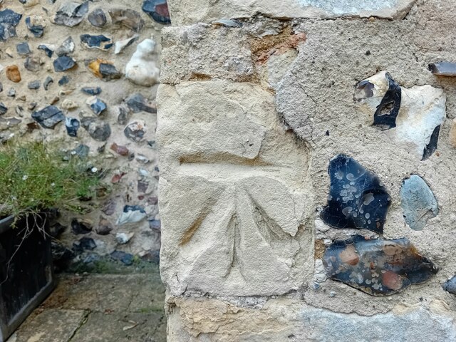
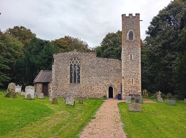
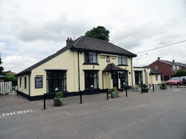
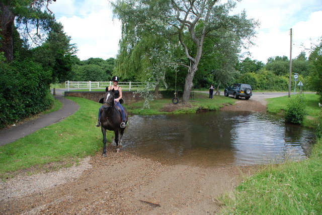
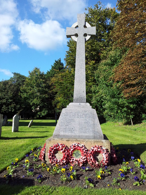
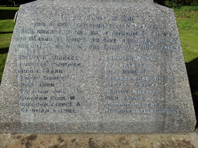
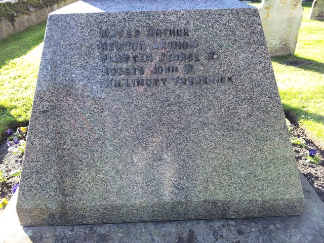
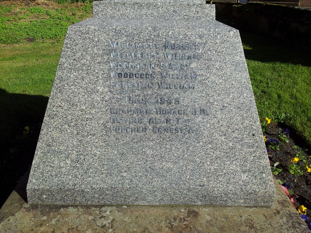
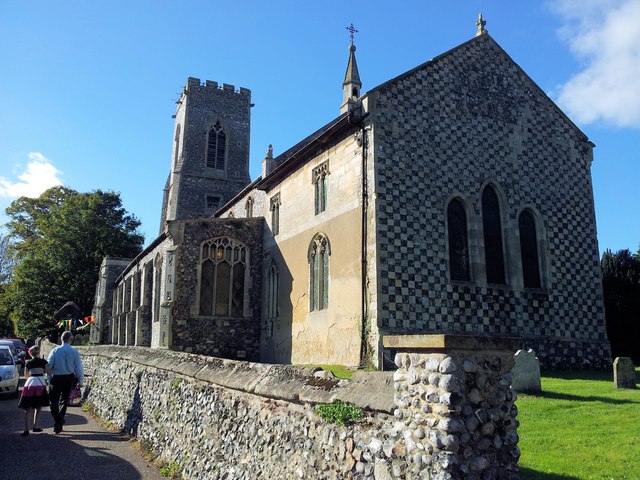
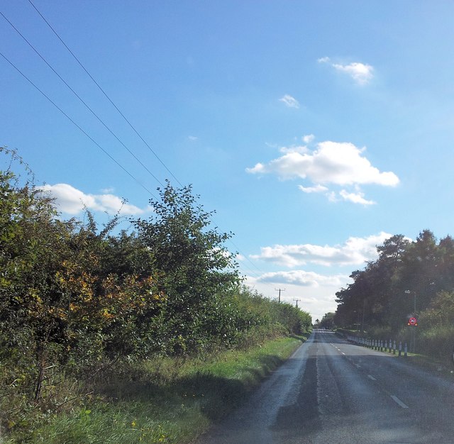
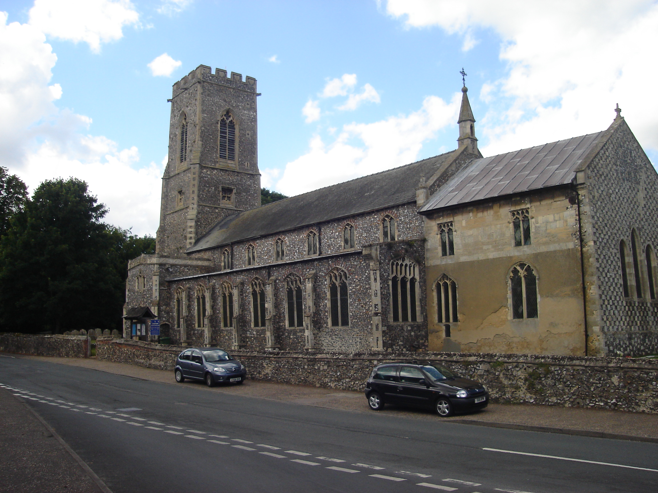
Bunker's Hill Images
Images are sourced within 2km of 52.685713/1.3021741 or Grid Reference TG2314. Thanks to Geograph Open Source API. All images are credited.


Bunker's Hill is located at Grid Ref: TG2314 (Lat: 52.685713, Lng: 1.3021741)
Administrative County: Norfolk
District: Broadland
Police Authority: Norfolk
What 3 Words
///smiles.plank.from. Near Spixworth, Norfolk
Nearby Locations
Related Wikis

Horsham St Faith and Newton St Faith
Horsham St Faith and Newton St Faith is a civil parish in the English county of Norfolk, consisting of the former parishes of Horsham St Faith and Newton...
Horsham St Faith
Horsham St Faith is a village in Norfolk, England. The village lies close and to the east of the A140 road and is 5 miles (8.0 km) north of Norwich and...
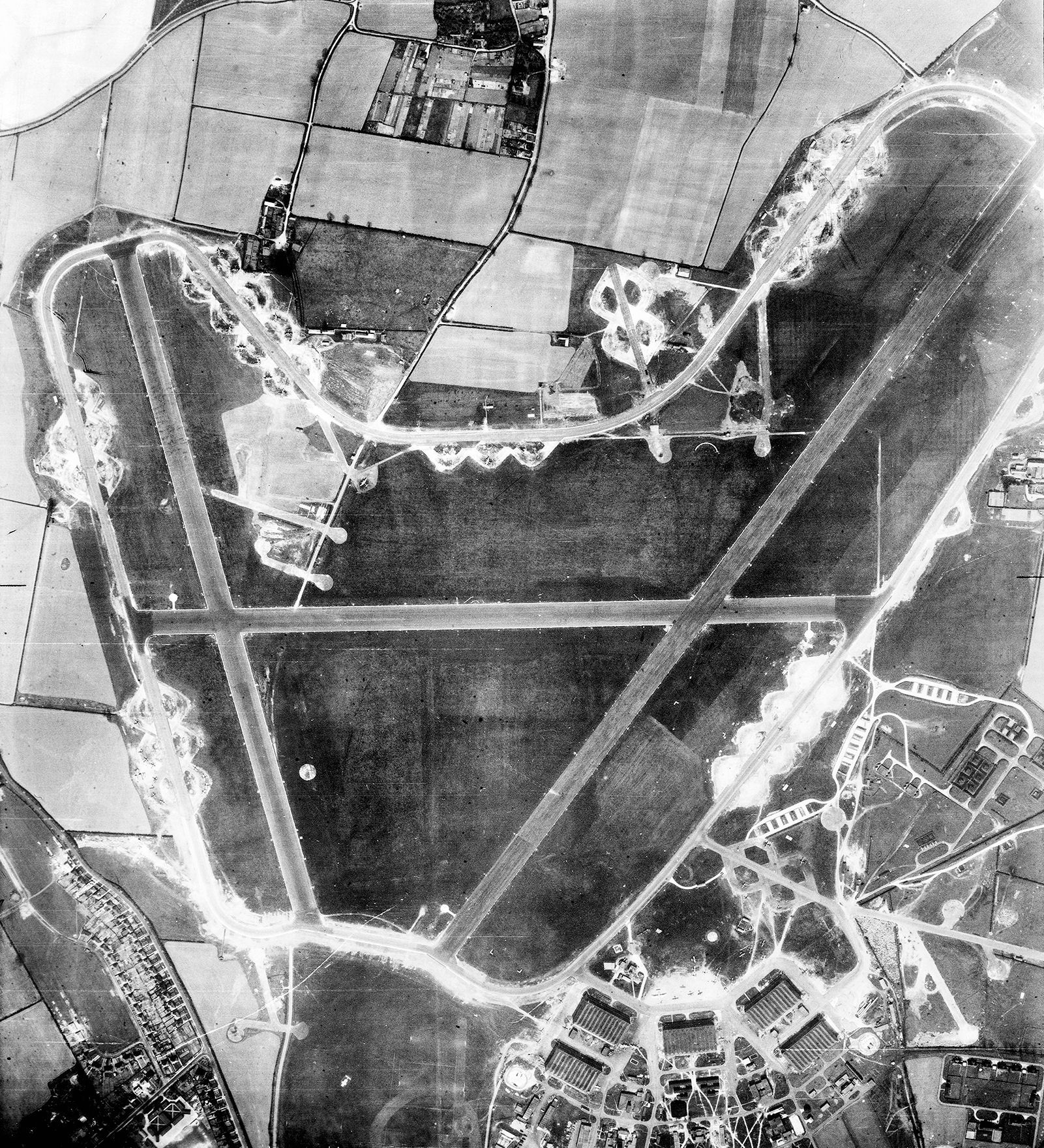
RAF Horsham St Faith
Royal Air Force Horsham St Faith or more simply RAF Horsham St Faith is a former Royal Air Force station near Norwich, Norfolk, England which was operational...
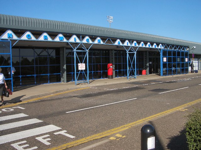
Norwich Airport
Norwich Airport (IATA: NWI, ICAO: EGSH) is an international airport in Hellesdon, Norfolk, England, 2.5 miles (4.0 kilometres) north of the city of Norwich...

Spixworth
Spixworth is a village and civil parish in the English county of Norfolk. The village lies close to the B1150 road and is 5 miles (8.0 km) north of Norwich...
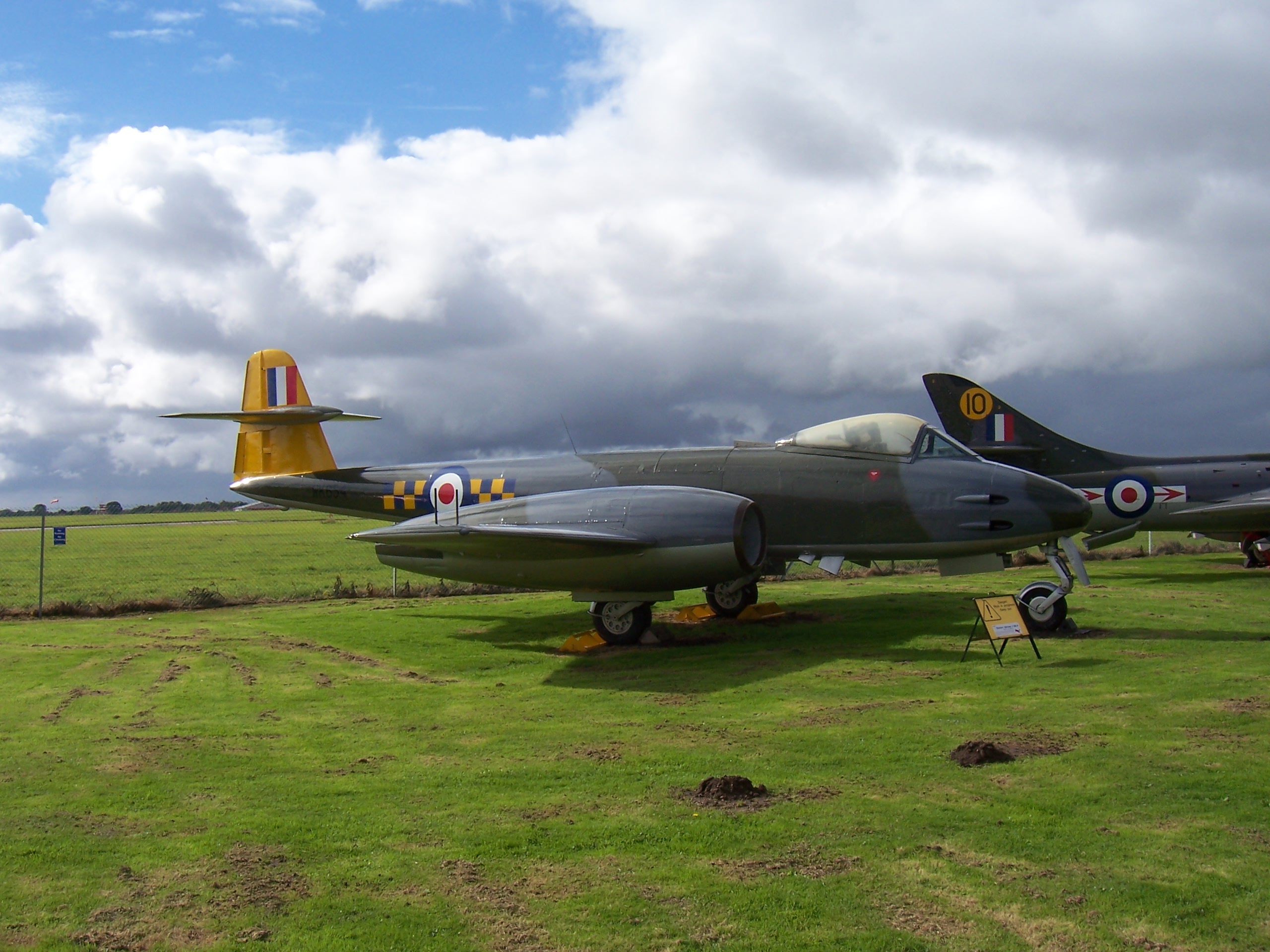
City of Norwich Aviation Museum
The City of Norwich Aviation Museum is a volunteer-run museum and charitable trust dedicated to the preservation of the aviation history of the county...

Beeston St Andrew
Beeston St Andrew is a civil parish north of Norwich in the Broadland district of Norfolk, England. It contains Beeston Park and according to the 2001...

Old Catton
Old Catton is a suburban village and civil parish in the English county of Norfolk which lies 2 miles (3.2 km) to the north-east of central Norwich. The...
Have you been to Bunker's Hill?
Leave your review of Bunker's Hill below (or comments, questions and feedback).