Bluebell Hill
Hill, Mountain in Norfolk South Norfolk
England
Bluebell Hill
Bluebell Hill, located in Norfolk, is a small hill with an elevation of approximately 71 meters (233 feet). Situated in the eastern part of England, the hill is part of the Norfolk Coast Area of Outstanding Natural Beauty. It is known for its picturesque views and is often visited by locals and tourists who enjoy hiking and exploring the surrounding countryside.
The hill is named after the abundance of bluebells that bloom in the area during the spring, creating a stunning carpet of blue flowers. This natural spectacle attracts nature enthusiasts and photographers who come to capture the beauty of the landscape. Bluebell Hill is also home to a diverse range of plant and animal species, making it a popular spot for wildlife enthusiasts.
The summit of Bluebell Hill offers panoramic views of the surrounding countryside, including the Norfolk coastline and the nearby villages. On clear days, visitors can see as far as the North Sea. The hill is easily accessible by foot or bike through a network of well-maintained trails and paths.
Bluebell Hill is not a particularly challenging climb, making it suitable for people of all ages and fitness levels. It is a perfect destination for a leisurely walk or a family outing. The hill's tranquil atmosphere and natural beauty make it a wonderful place to escape the hustle and bustle of everyday life and reconnect with nature.
If you have any feedback on the listing, please let us know in the comments section below.
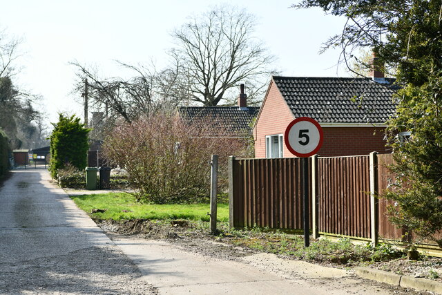
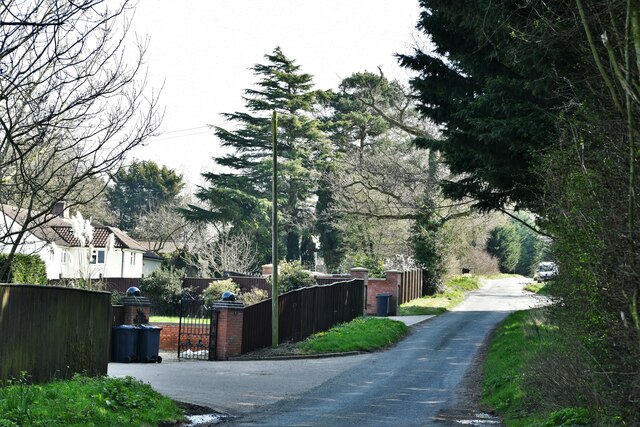
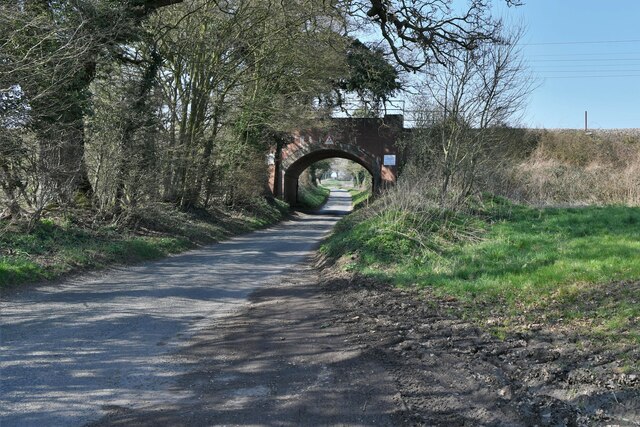
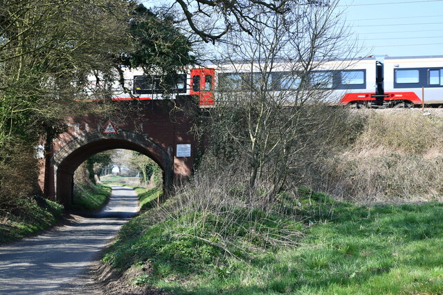
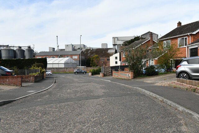
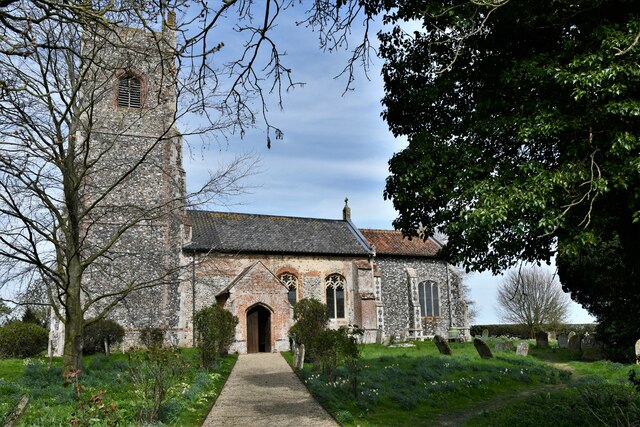
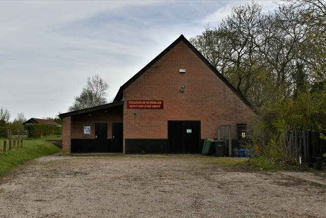
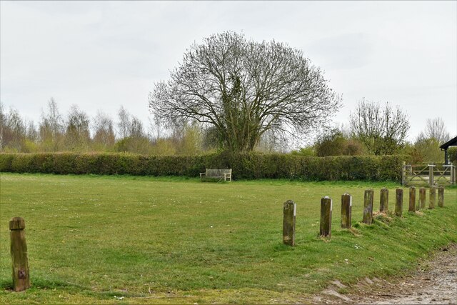
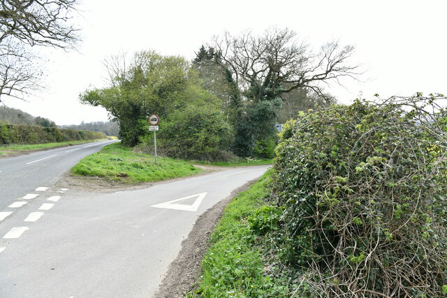
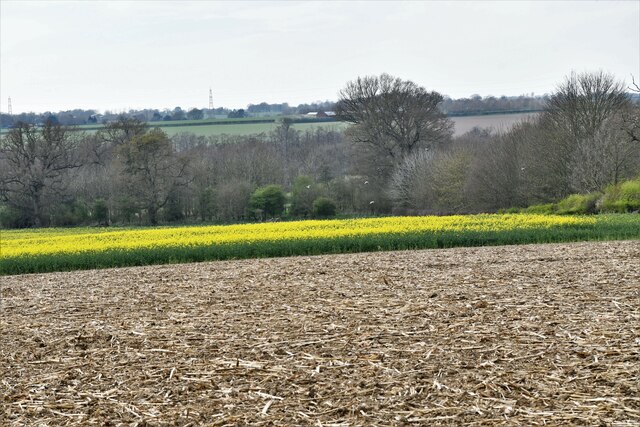
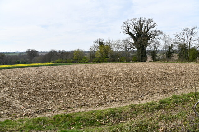
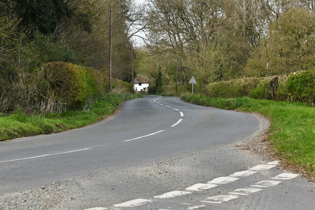
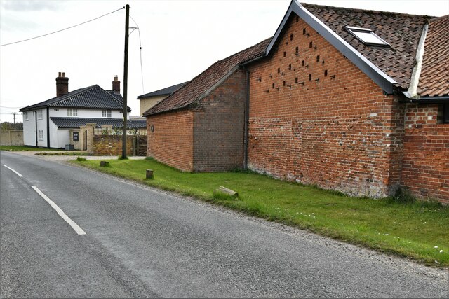
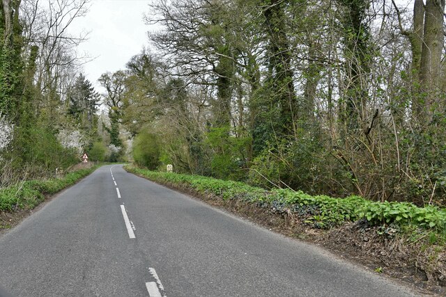
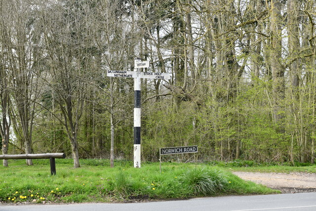
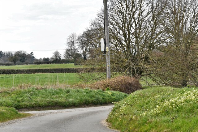
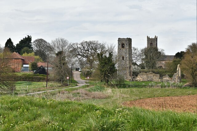
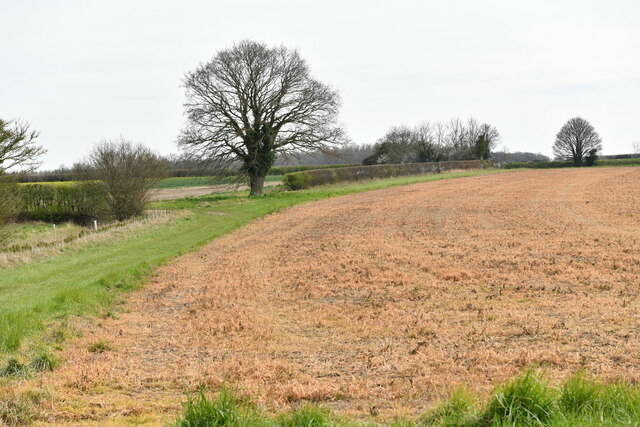
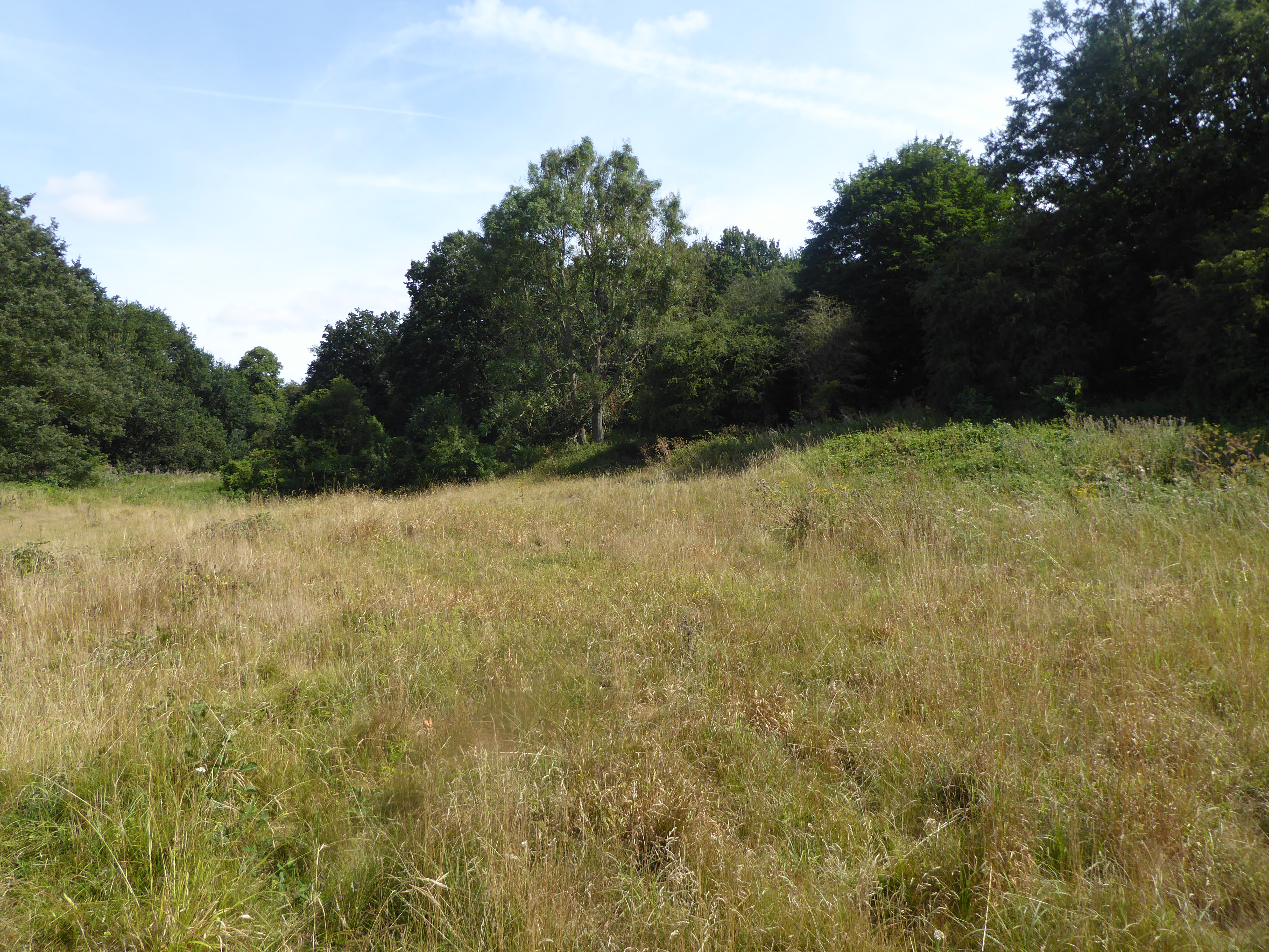
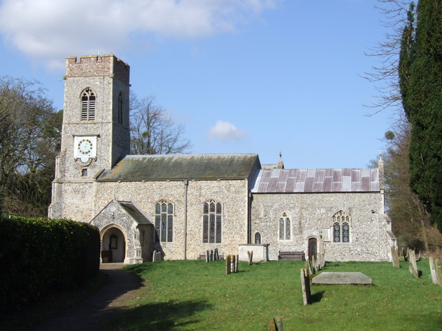
Bluebell Hill Images
Images are sourced within 2km of 52.540874/1.2839534 or Grid Reference TM2298. Thanks to Geograph Open Source API. All images are credited.
Bluebell Hill is located at Grid Ref: TM2298 (Lat: 52.540874, Lng: 1.2839534)
Administrative County: Norfolk
District: South Norfolk
Police Authority: Norfolk
What 3 Words
///snowmen.prepared.tries. Near Mulbarton, Norfolk
Related Wikis
Smockmill Common
Smockmill Common is a 10-hectare (25-acre) Local Nature Reserve on the eastern outskirts of Newton Flotman in Norfolk. It is owned by the Shotesham Estate...
Saxlingham Nethergate
Saxlingham Nethergate is a village and civil parish in Norfolk, England, about 9.5 miles (15 km) south of Norwich. The civil parish has an area of 3.3...

Shotesham Common
Shotesham Common is a 21.6-hectare (53-acre) biological Site of Special Scientific Interest south of Norwich in Norfolk.This site consists of traditionally...

Newton Flotman
Newton Flotman, meaning new farm or settlement, is a village and civil parish in the English county of Norfolk, lies about 7 miles (11 km) south of Norwich...

Swainsthorpe
Swainsthorpe is a village in Norfolk, England. It lies on the A140 road, approximately 5 miles south of Norwich, and just north of Newton Flotman. It covers...

Shotesham
Shotesham () is a village in South Norfolk which lies approximately 5 miles south of Norwich. It sits next to Stoke Holy Cross and Saxlingham Nethergate...
Swainsthorpe railway station
Swainsthorpe was a railway station in Swainsthorpe, England, around five miles south of Norwich. It was opened in 1850 when the Great Eastern Railway constructed...

A140 road
The A140 is an 'A-class' road in Norfolk and Suffolk, East Anglia, England partly following the route of the Roman Pye Road. It runs from the A14 near...
Nearby Amenities
Located within 500m of 52.540874,1.2839534Have you been to Bluebell Hill?
Leave your review of Bluebell Hill below (or comments, questions and feedback).