Little Skate's Hill
Hill, Mountain in Norfolk North Norfolk
England
Little Skate's Hill
Little Skate's Hill is a small but picturesque hill located in the county of Norfolk, England. Situated near the village of Little Skate, this hill stands at an elevation of approximately 100 meters (328 feet) above sea level, making it a notable feature in the otherwise flat landscape of Norfolk.
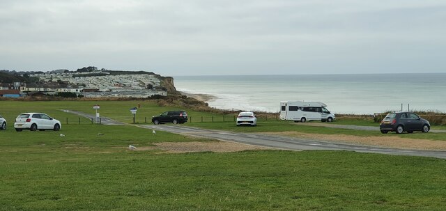
Covered in lush green grass and dotted with a few scattered trees, Little Skate's Hill offers visitors breathtaking panoramic views of the surrounding countryside. On a clear day, one can see as far as the Norfolk coast, which lies about 10 miles to the northeast. The hill provides an ideal vantage point for nature enthusiasts, photographers, and hikers, who can enjoy the beauty of the rolling hills and fields stretching out in all directions.
Little Skate's Hill is easily accessible by foot or by car, with a small parking area located at the base of the hill. A well-maintained footpath leads visitors to the summit, where a stone marker indicates the hill's name and elevation. The hill is a popular spot for picnicking and kite flying, as its open expanse offers plenty of space for recreational activities.
The area surrounding Little Skate's Hill is rich in wildlife, with many species of birds, butterflies, and small mammals making their home in the nearby fields and hedgerows. The hill is also part of a designated Area of Outstanding Natural Beauty, ensuring its preservation and protection for future generations to enjoy.
Overall, Little Skate's Hill is a charming natural landmark that offers visitors a peaceful escape from the hustle and bustle of everyday life. Whether it is for a leisurely stroll, a family outing, or simply to appreciate the beauty of Norfolk's countryside, this hill provides a serene and captivating experience.
If you have any feedback on the listing, please let us know in the comments section below.
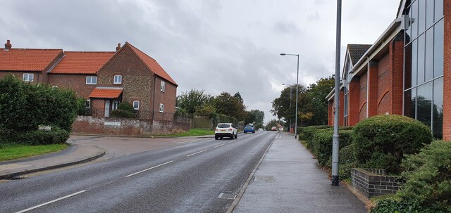
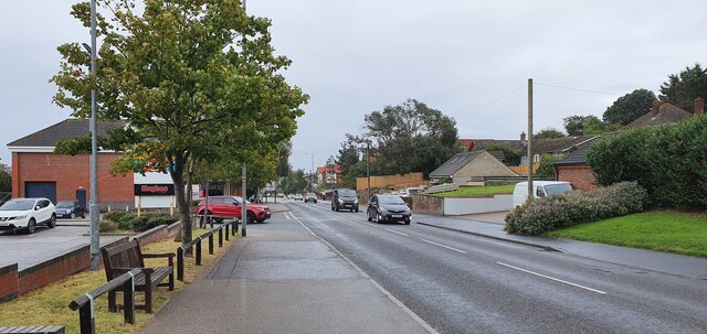
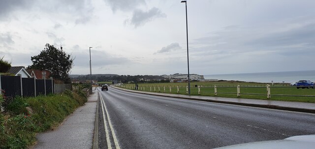
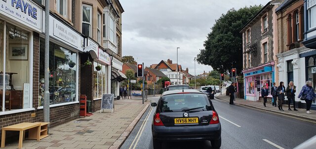
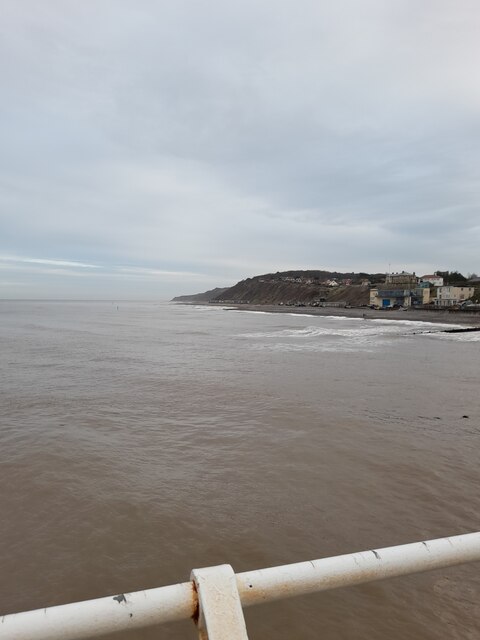
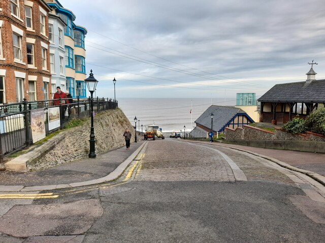
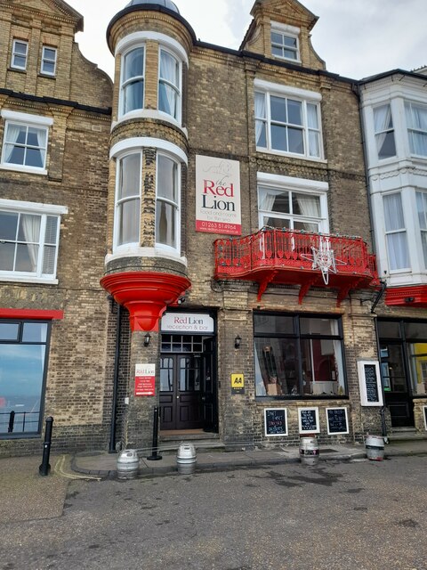
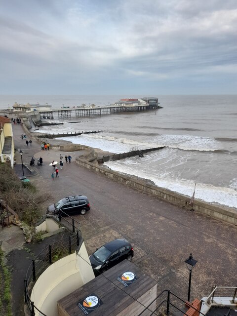
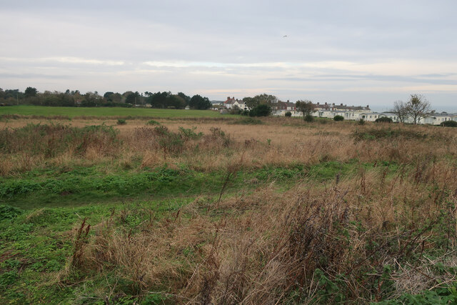
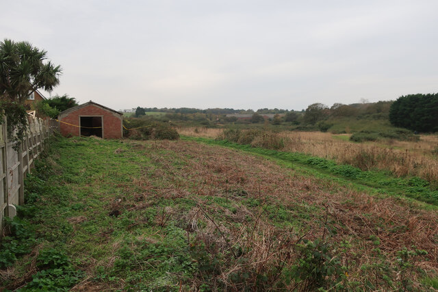
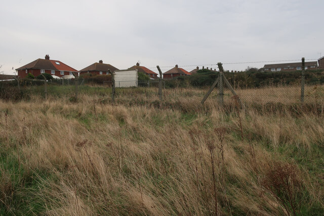
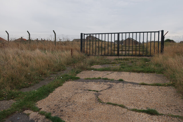
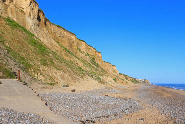
Little Skate's Hill Images
Images are sourced within 2km of 52.918341/1.2865465 or Grid Reference TG2140. Thanks to Geograph Open Source API. All images are credited.


Little Skate's Hill is located at Grid Ref: TG2140 (Lat: 52.918341, Lng: 1.2865465)
Administrative County: Norfolk
District: North Norfolk
Police Authority: Norfolk
What 3 Words
///present.partly.passport. Near Cromer, Norfolk
Nearby Locations
Related Wikis
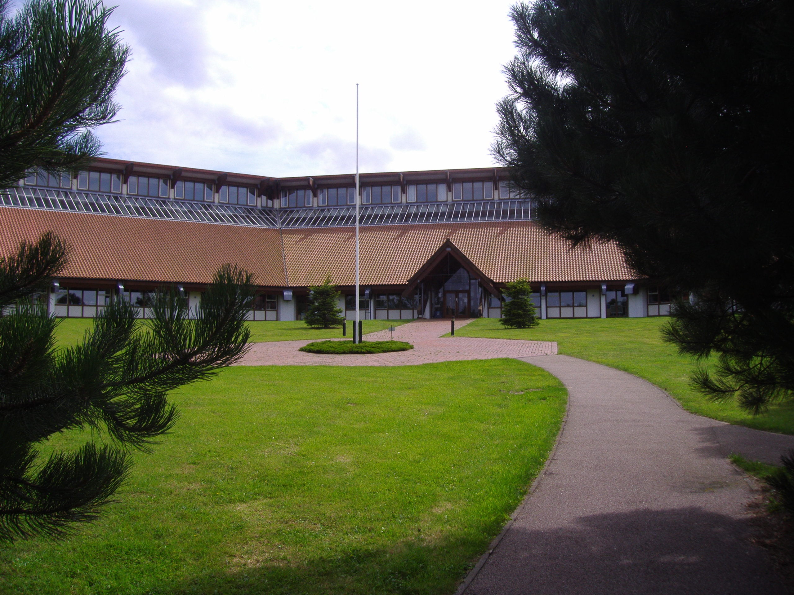
North Norfolk District Council Headquarters
North Norfolk District Council Headquarters is located in Holt road in a prominent position south of the town of Cromer in the English county of Norfolk...
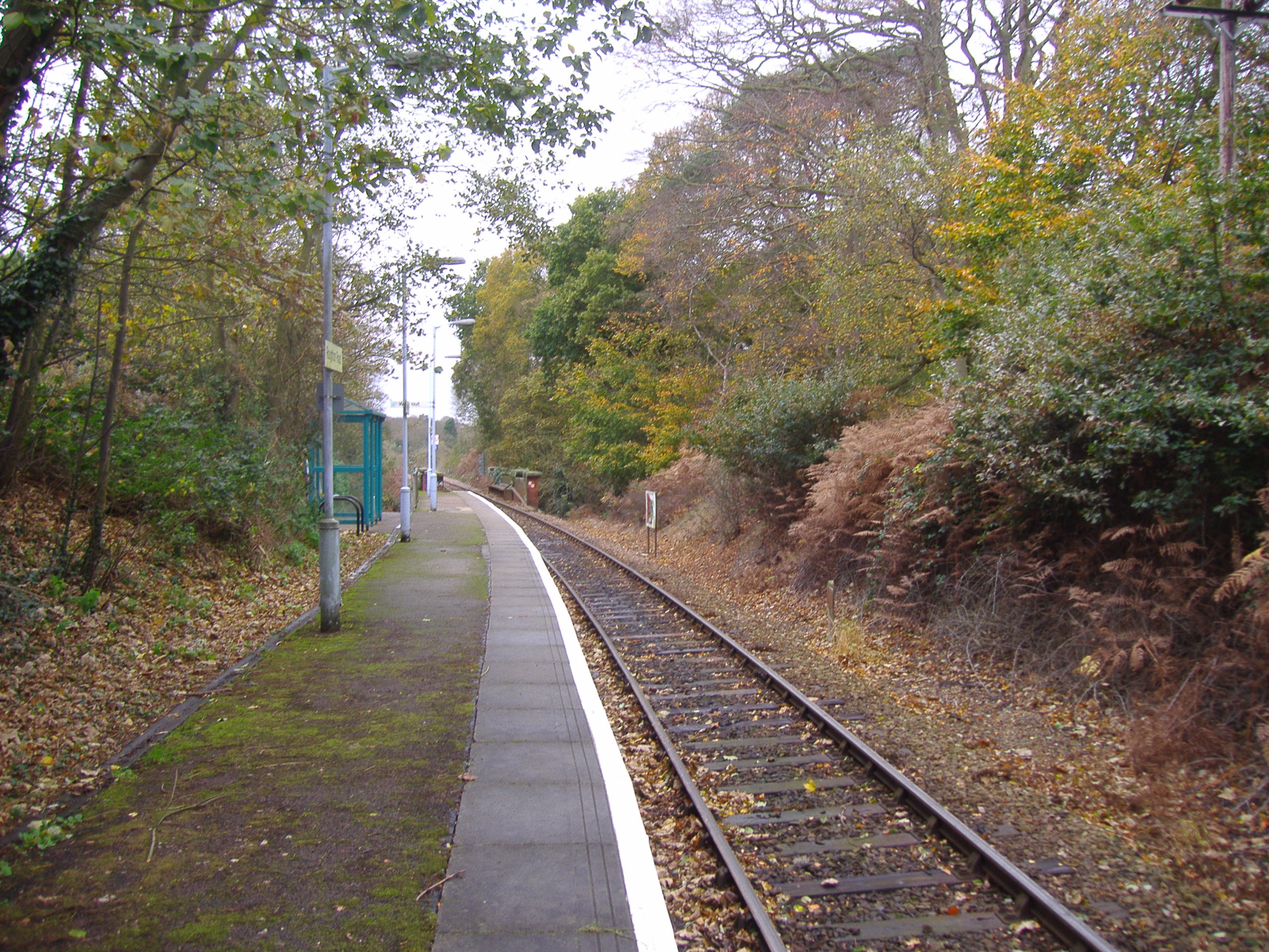
Roughton Road railway station
Roughton Road railway station is a stop on the Bittern Line in Norfolk, England, on the outskirts of the town of Cromer. It takes its name from the street...
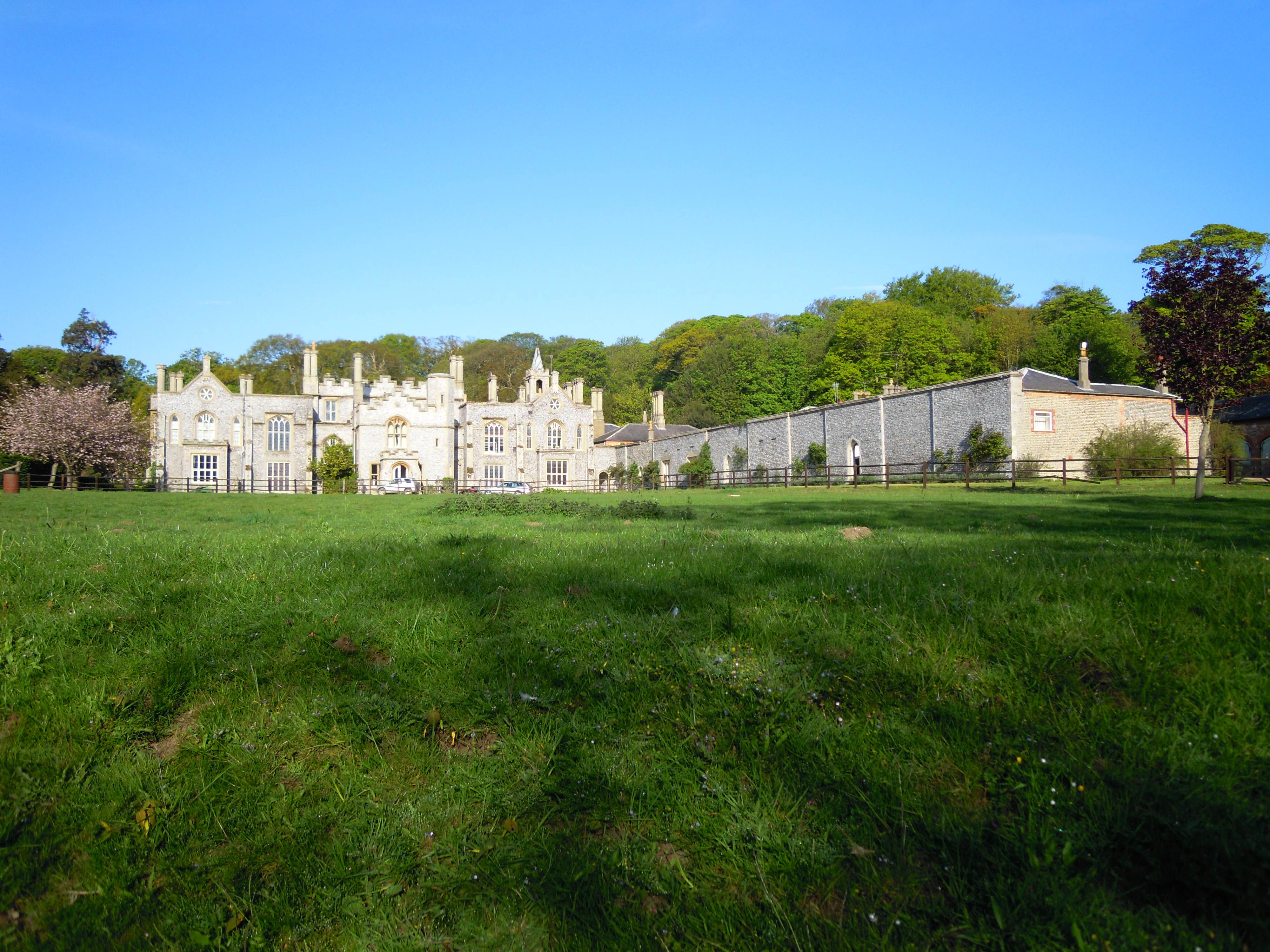
Cromer Hall
Cromer Hall is a country house located one mile south of Cromer on Holt Road, in the English county of Norfolk. The present house was built in 1829 by...

Felbrigg
Felbrigg is a village and civil parish in the English county of Norfolk. The village is 1.7 miles (2.7 km) south-west of Cromer and 20 miles (32 km) north...
Nearby Amenities
Located within 500m of 52.918341,1.2865465Have you been to Little Skate's Hill?
Leave your review of Little Skate's Hill below (or comments, questions and feedback).